Download to read offline

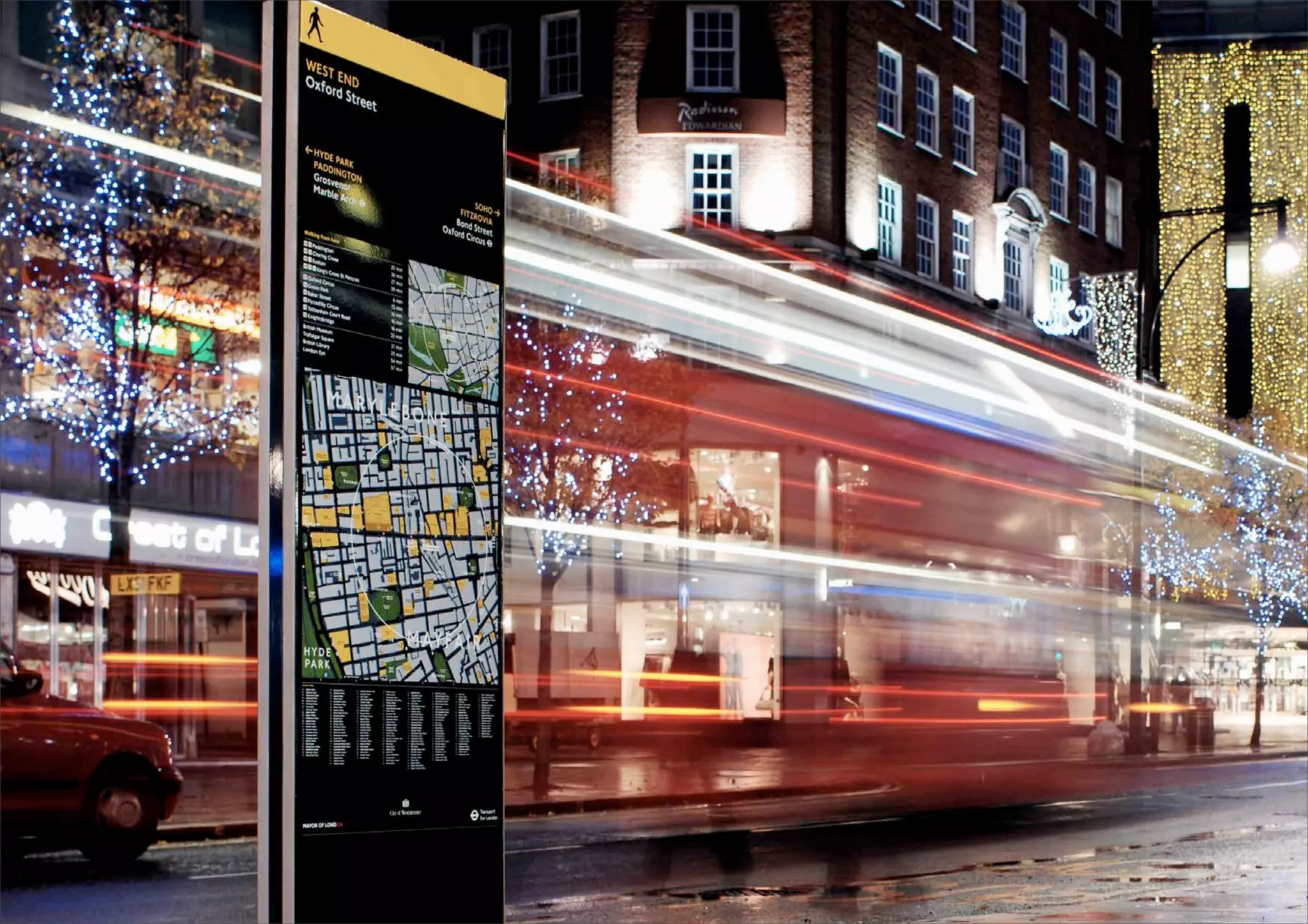


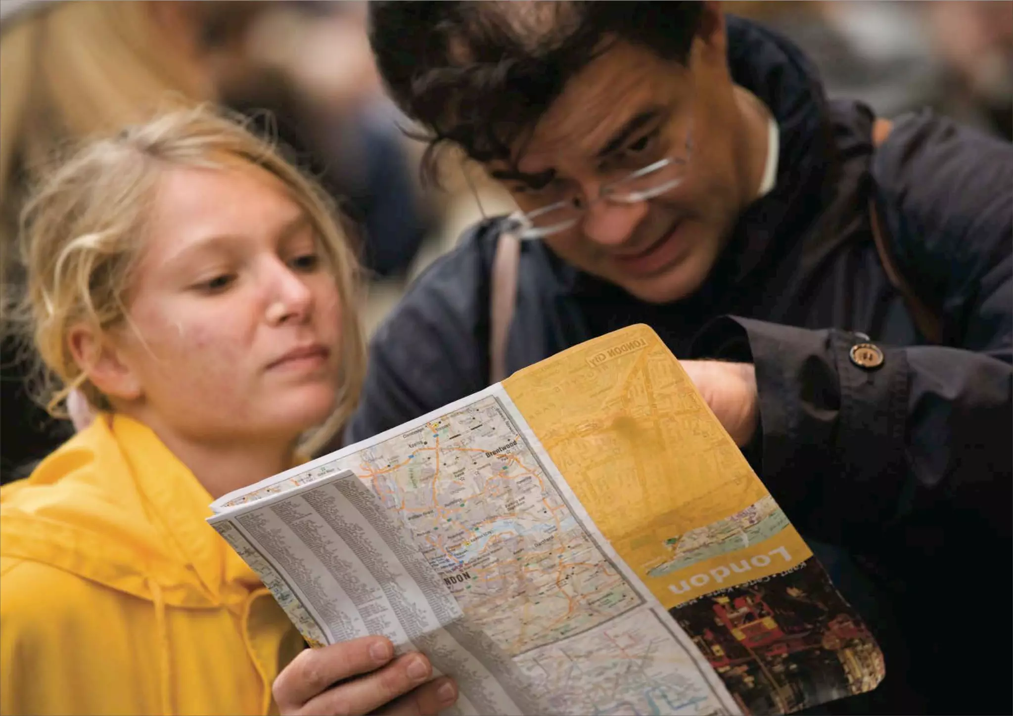
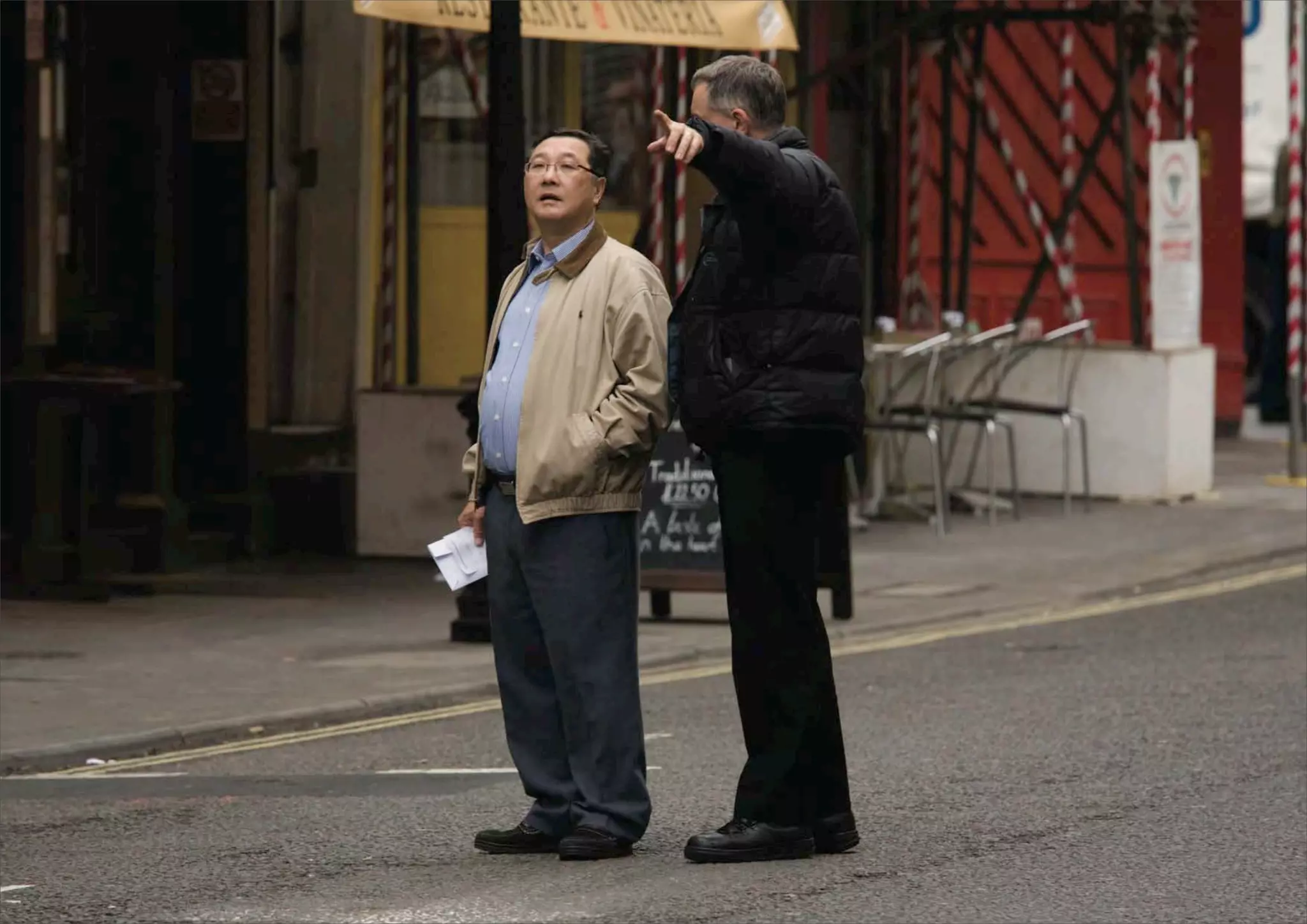

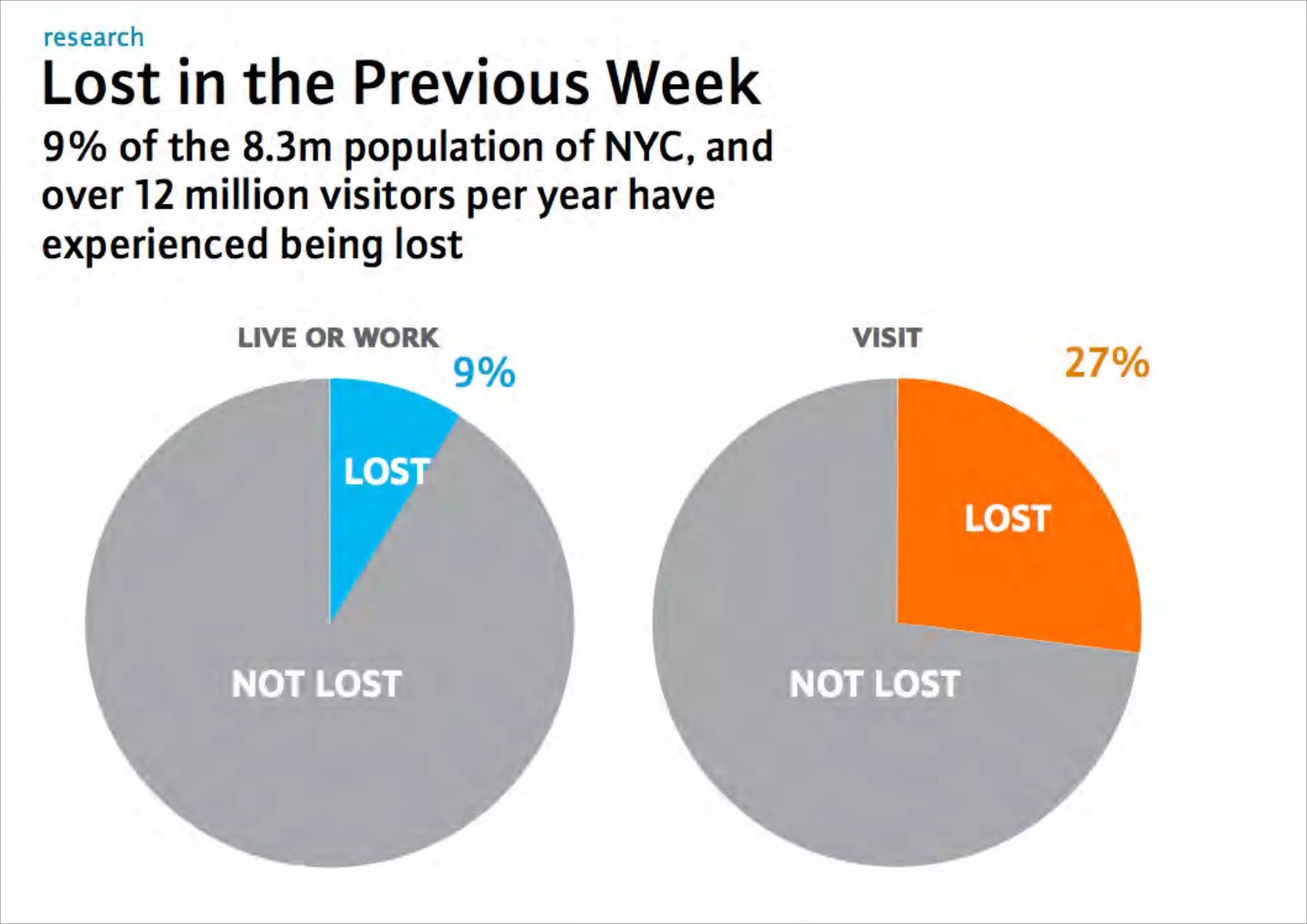
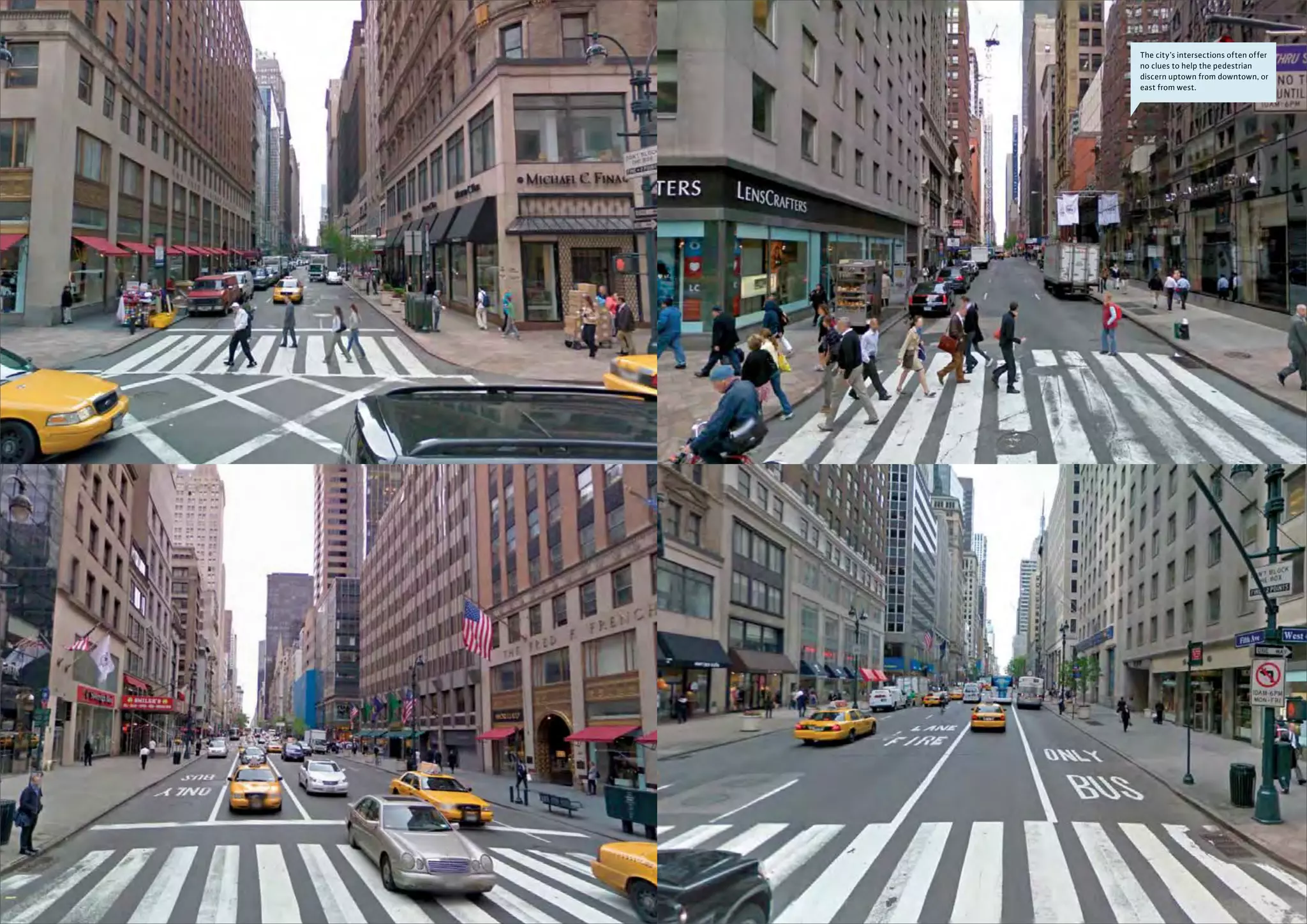

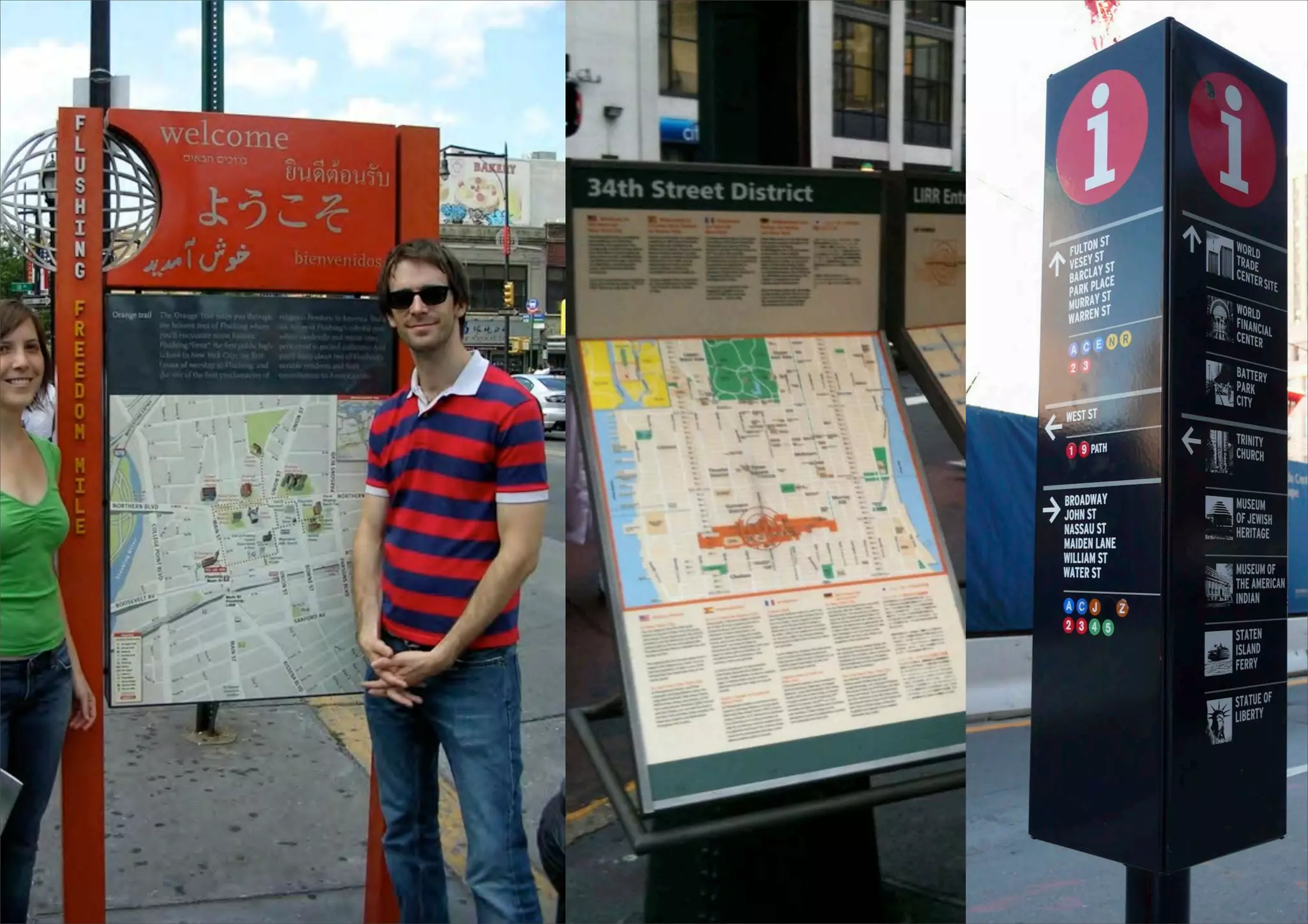


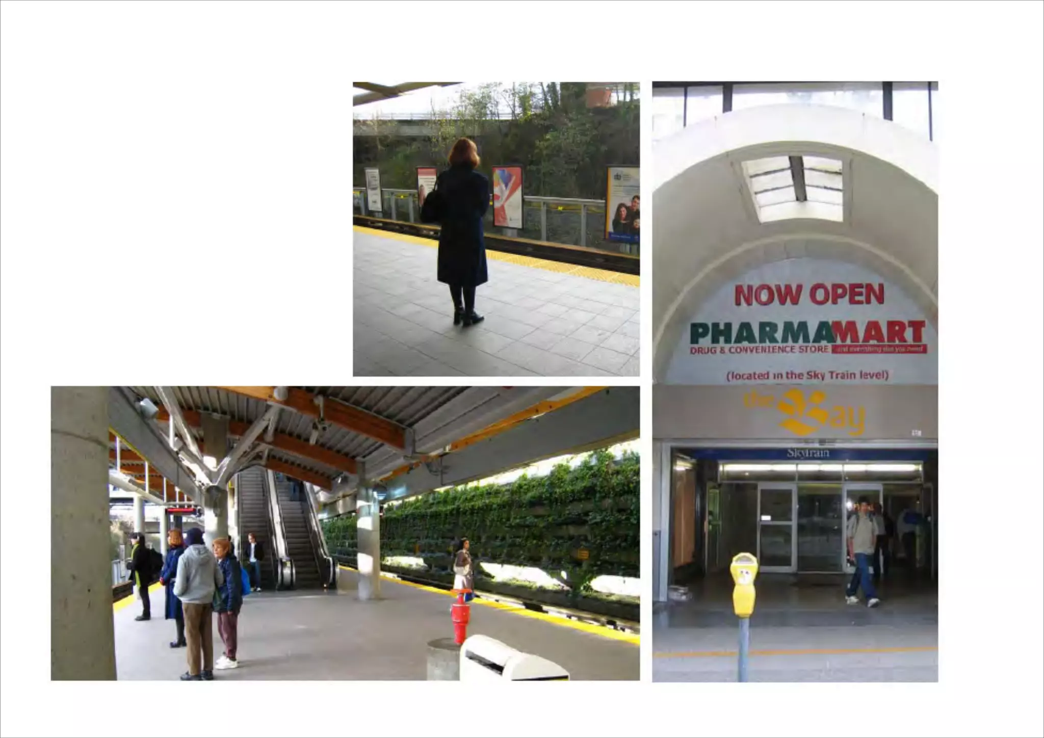


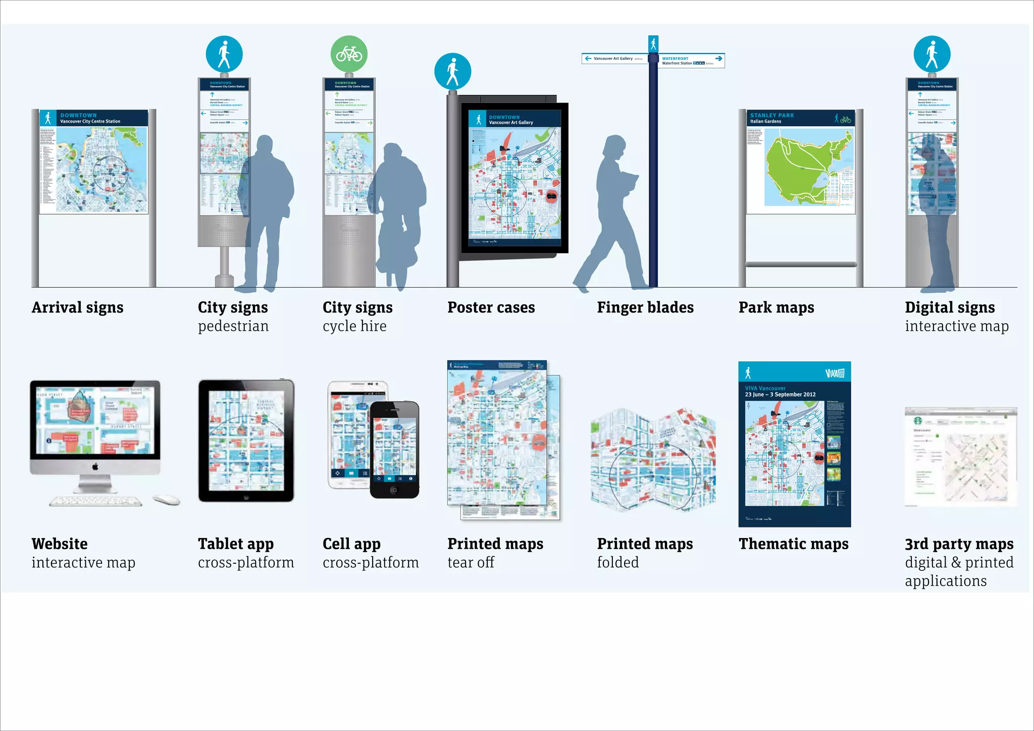


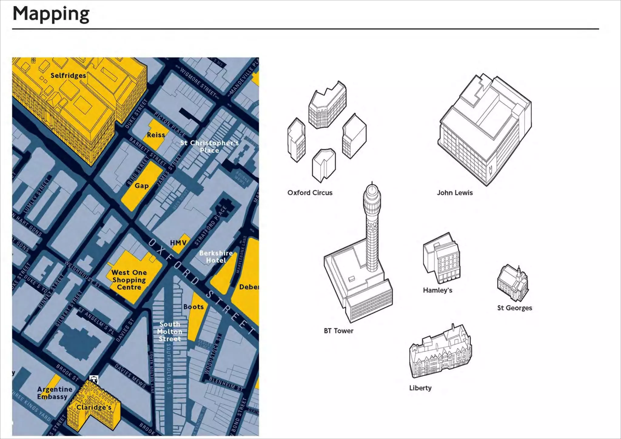
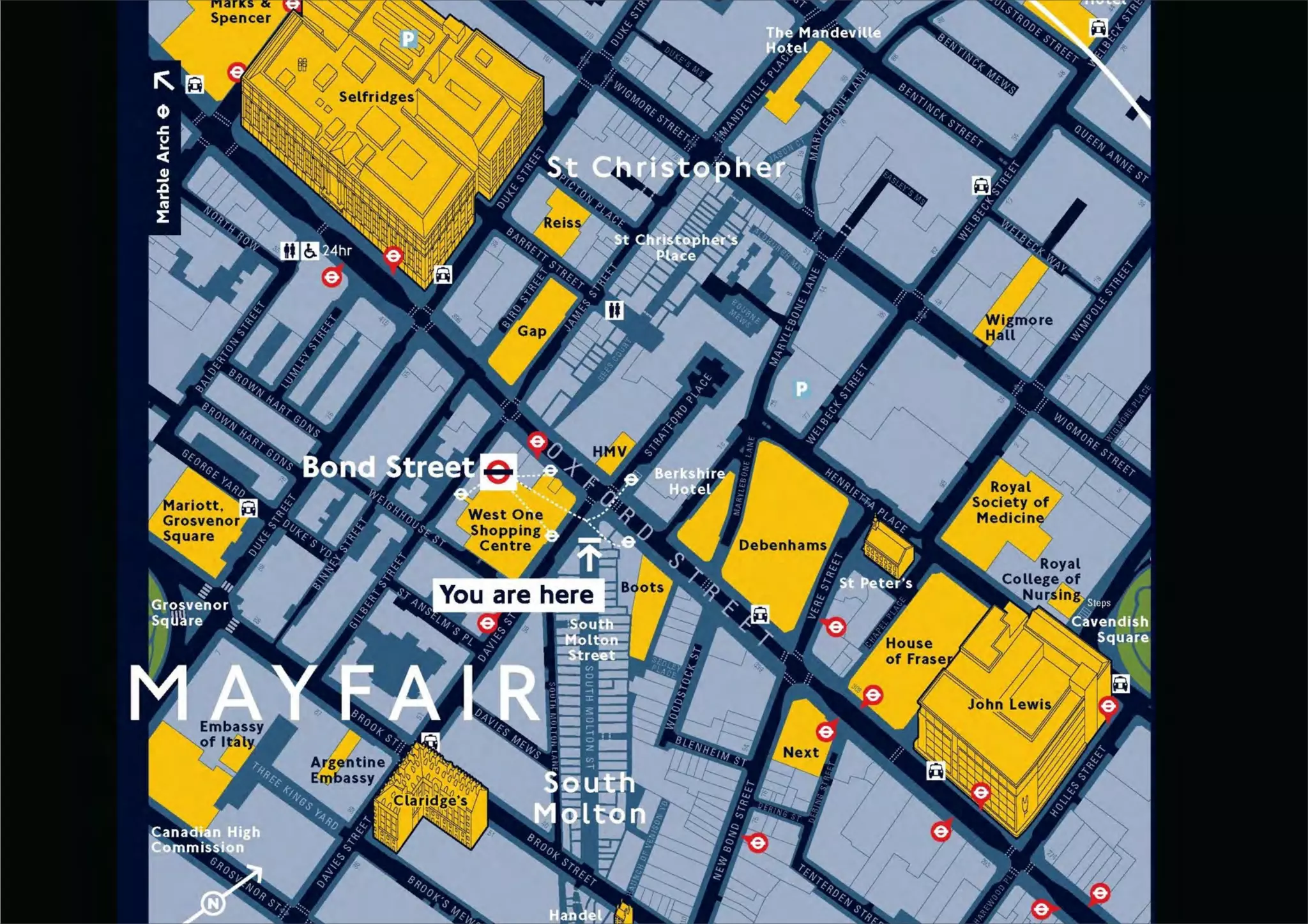
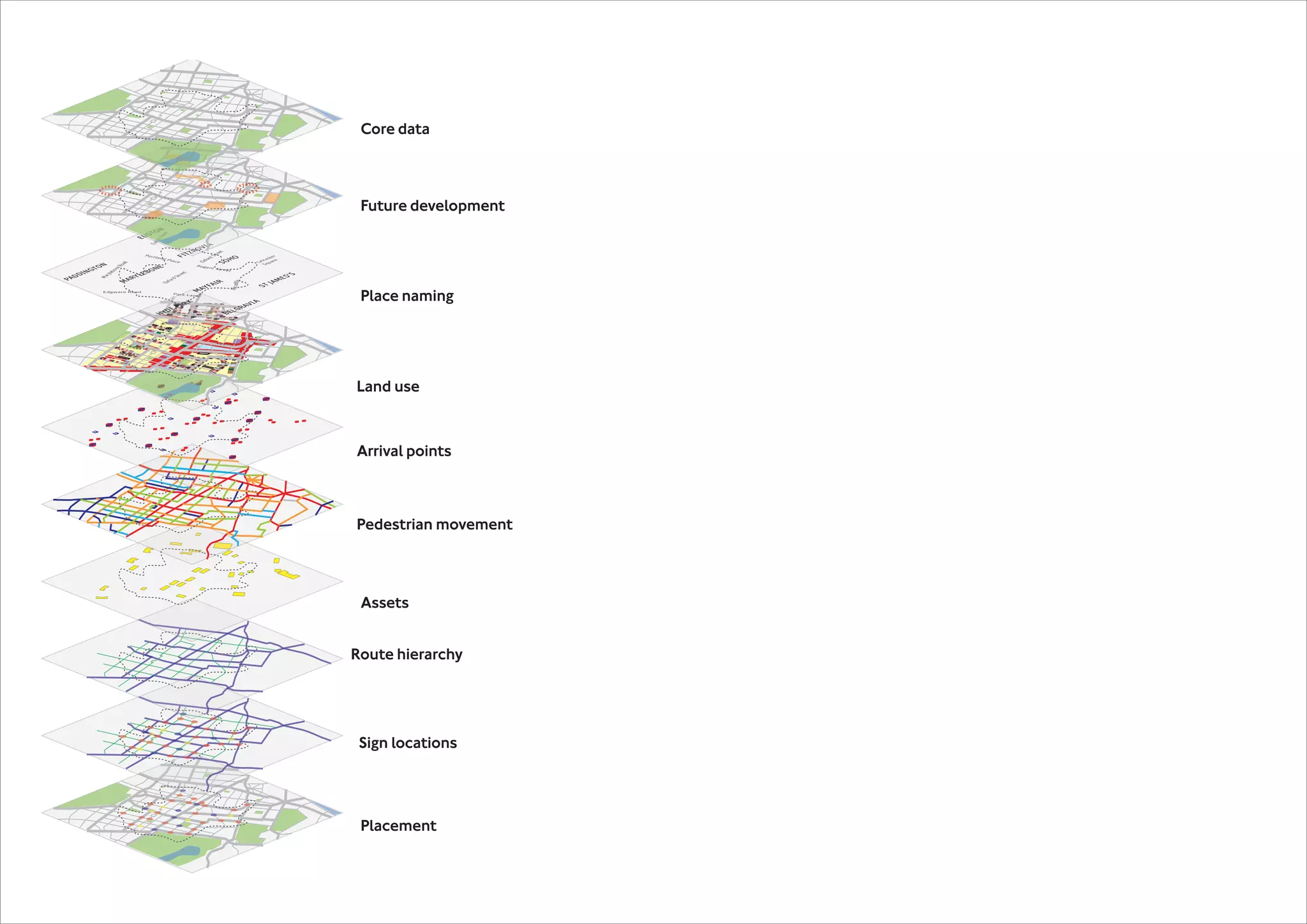


The document discusses challenges faced by pedestrians in navigating urban environments, specifically focusing on cities like New York and Vancouver. It highlights issues such as confusing street naming and the importance of wayfinding maps in creating more accessible and walkable city spaces. Vancouver is presented as a model for livability, with new wayfinding initiatives aimed at improving navigation for both residents and visitors.


