Download to read offline


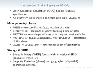
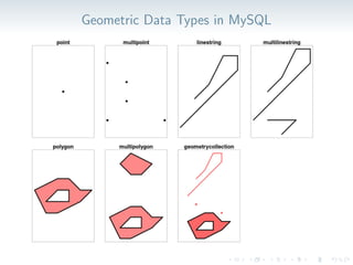
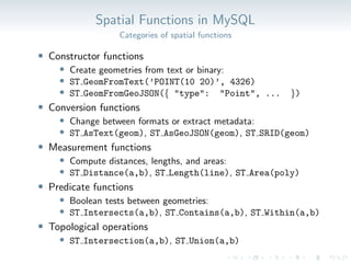
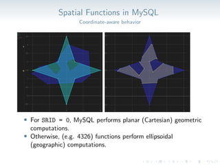

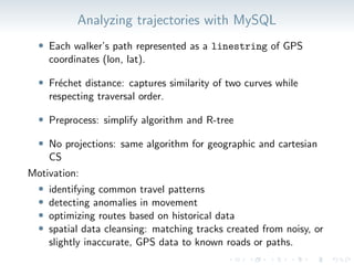

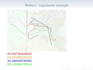

Spatial data is everywhere, from maps and navigation to urban planning and mobility services. MySQL provides robust support for managing and analyzing spatial data through geometry types, spatial indexes, and a comprehensive set of spatial functions. This talk introduces MySQL’s spatial capabilities and highlights two practical use cases: 1. Transforming Between Spatial Reference Systems: Learn how to convert geometries across coordinate systems using MySQL’s built-in SRS transformation functions. This enables use cases such as the seamless integration and visualization of diverse datasets, e.g., combining GPS traces with city planning data on a unified map despite differing coordinate systems. 2. Analyzing Spatial Trajectories: Discover how to measure similarity between movement paths using trajectory data and spatial distance functions. This can support applications like identifying common travel patterns, detecting anomalies, or optimizing routes based on historical behavior. Whether you’re a developer, analyst, or GIS professional, this session will help you unlock the full potential of spatial data in MySQL