Download to read offline

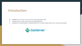
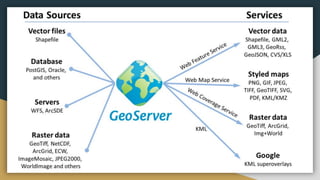
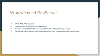

GeoServer is an open source server that allows users to share, process, and edit geospatial data from any major spatial data source using open standards. It is designed for interoperability and publishes geospatial data for use. GeoServer provides a way to share geospatial data between organizations and systems to promote accessibility and reuse of mapping resources.