Downloaded 10 times
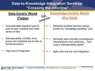
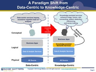
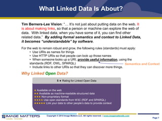
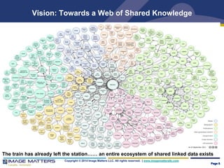
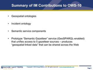
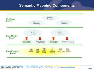
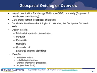
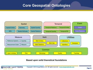
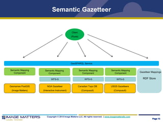

The document discusses efforts to improve geospatial data interoperability through the use of ontologies and semantic technologies. It outlines work done as part of OGC OWS-10 to build and test a core geospatial ontology, develop a semantic gazetteer service using GeoSPARQL, and demonstrate how semantic approaches can enable easier integration and sharing of geospatial knowledge across systems. Next steps include standardizing the ontologies and semantically enabling additional OGC web services and architectures.


