Download as PPSX, PPTX

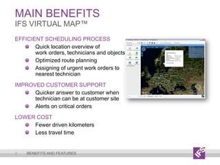
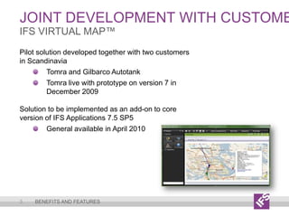

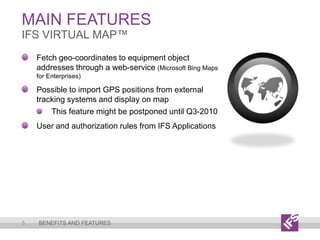

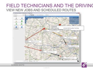
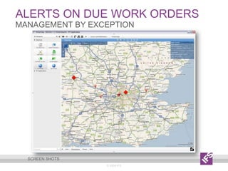
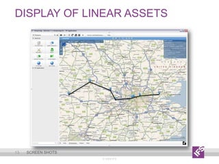
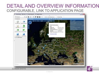
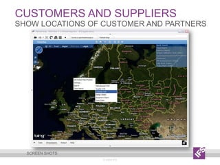
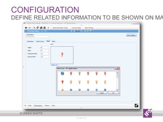
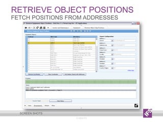


IFS VirtualMap™ is designed to enhance field service operations through efficient scheduling and optimized route planning. Key features include map visualization of work orders, alerts on critical tasks, and integration with Microsoft Bing Maps for geo-coordinates. Developed in collaboration with Scandinavian customers, this solution aims to improve response times and reduce travel costs, with a general availability expected in April 2010.


