Downloaded 11 times
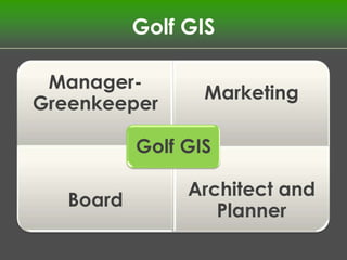
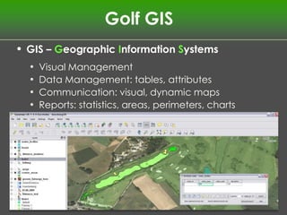
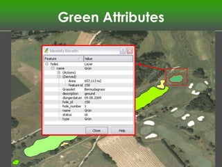
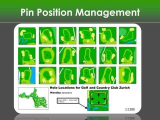
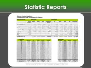


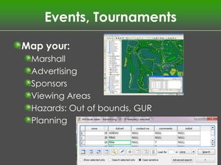
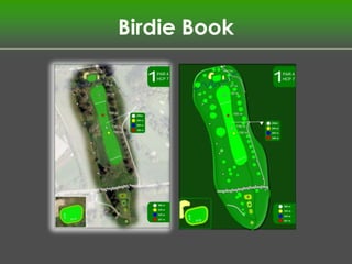
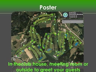
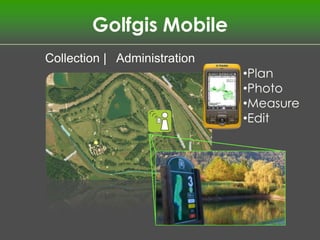
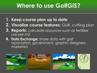


This document describes Golf GIS, a company that provides geographic information systems (GIS) and mapping solutions for the golf industry. Golf GIS offers software and services to help courses with visual management of features, data collection and reporting, planning, and communicating information to staff and customers. The document outlines some of Golf GIS's key products and services like green attribute mapping, pin position management, statistics reports, tree shade analysis, and mobile data collection. It also provides examples of how Golf GIS can be used to keep course plans updated, generate reports, and share data with various stakeholders to improve course management and customer communications.


![Gis symposium books_for_sale[1]](https://cdn.slidesharecdn.com/ss_thumbnails/gissymposiumbooksforsale1-140210161120-phpapp01-thumbnail.jpg?width=640&height=640&fit=bounds)