Download as PDF, PPTX

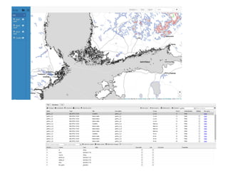
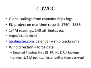
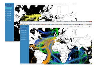
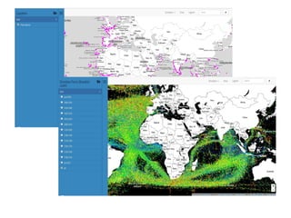

This document discusses several global and historical geospatial datasets and tools for visualizing and analyzing them. It mentions datasets like GSHHG containing global coastline data, CLIWOC containing historical ship log readings, and geological and historical map layers. It also discusses platforms like Giscloud and Mapcentia that allow hosting and rendering these types of vector and raster maps and data online through technologies like PostGIS, MapServer and TileCache.


