Download as PDF, PPTX
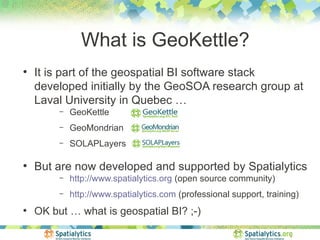
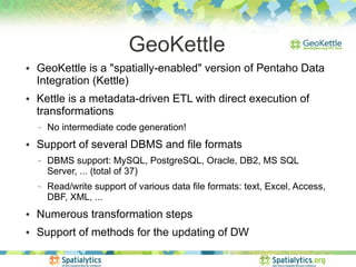
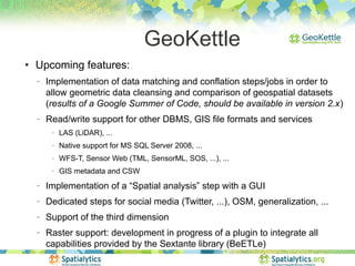

GeoKettle is an open source spatial ETL tool that is part of a geospatial business intelligence software stack. It is based on Pentaho Data Integration and provides consistent integration of spatial data types and capabilities. GeoKettle allows automated extraction, transformation, and loading of data across various sources into data warehouses. It supports spatial operations and can be deployed in cloud environments for scalable geospatial data processing.