Download to read offline


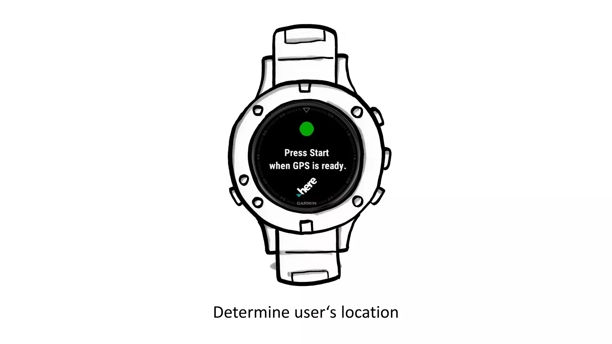
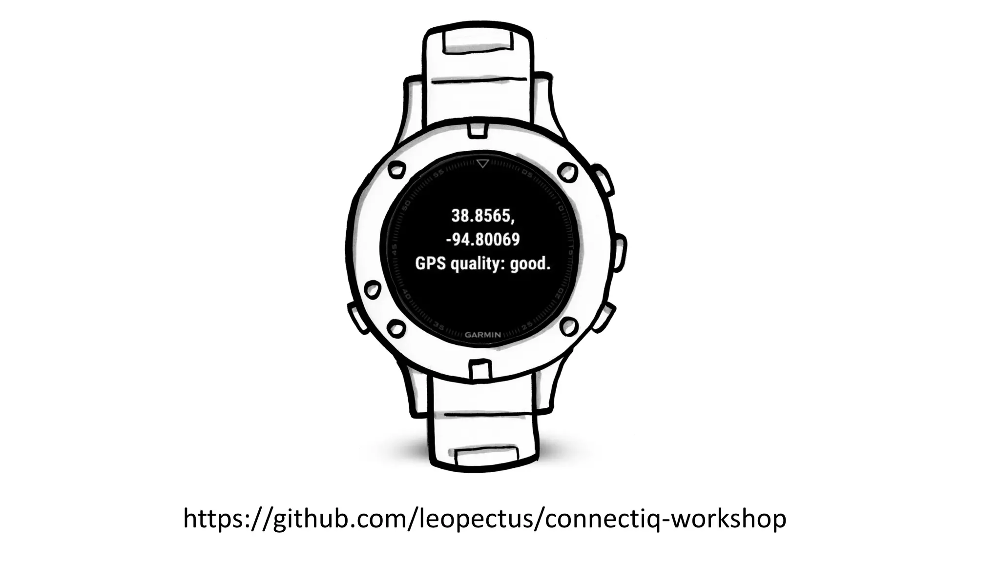
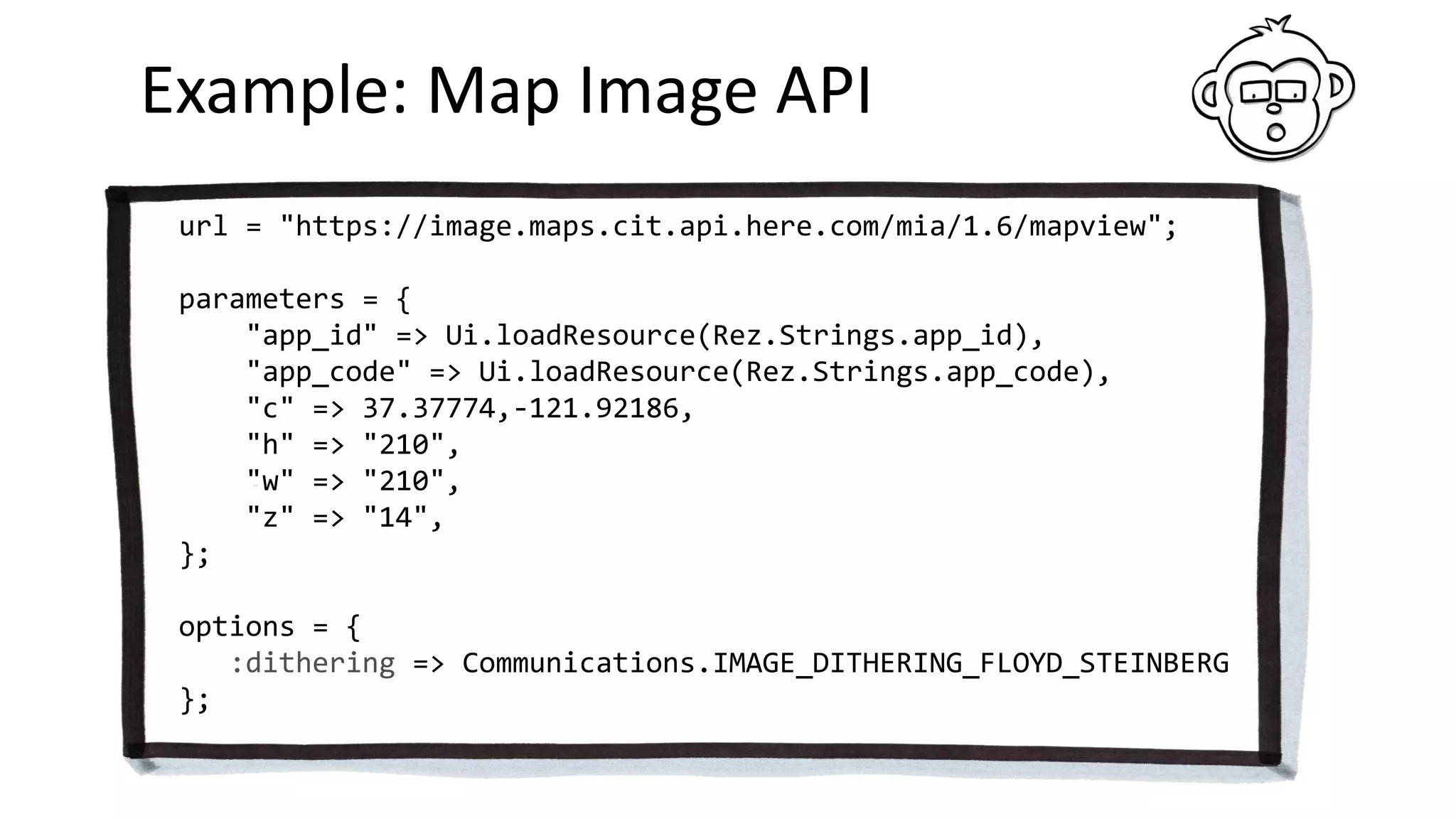
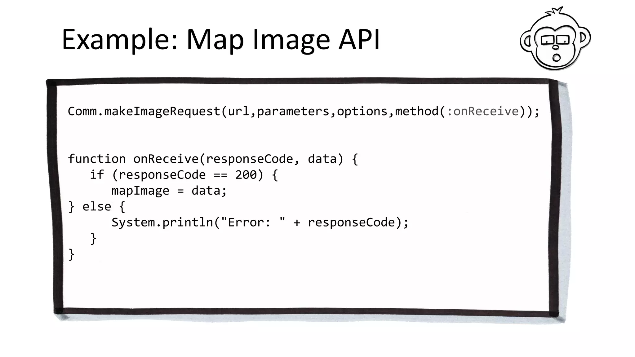
![Example: Positioning in Monkey C
Position.enableLocationEvents(
Position.LOCATION_ONE_SHOT,
method(:onPosition));
function onPosition(info) {
var lat = info.position.toDegrees()[0];
var long = info.position.toDegrees()[1];
}](https://image.slidesharecdn.com/garmindevelopersummit2018-talk-180423120100/75/Garmin-Developer-Summit-2018-Talk-38-2048.jpg)

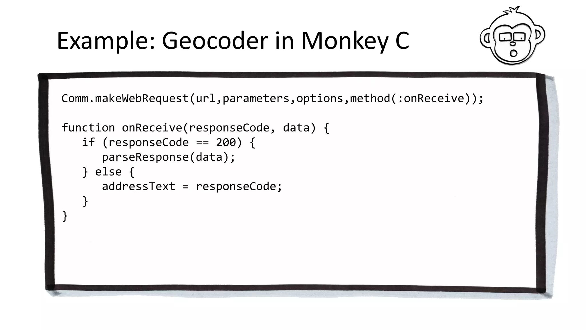
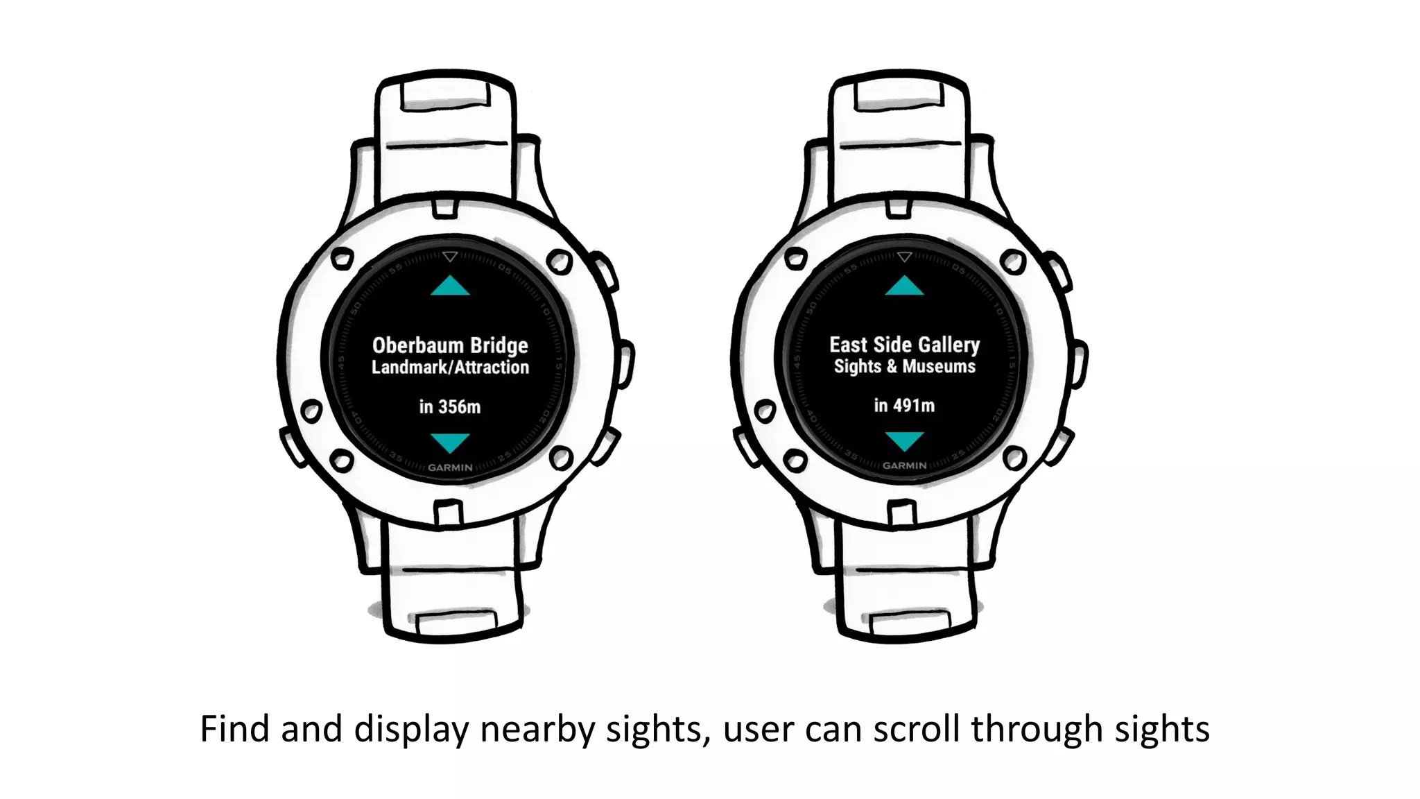
![Example: Geocoder in Monkey C
function parseResponse(data) {
var response = data.get("Response");
var viewArray = response.get("View");
var view = viewArray[0];
var resultArray = view.get("Result");
var result = resultArray[0];
var location = result.get("Location");
var address = location.get("Address");
addressText = address.get("Label");
}](https://image.slidesharecdn.com/garmindevelopersummit2018-talk-180423120100/75/Garmin-Developer-Summit-2018-Talk-62-2048.jpg)

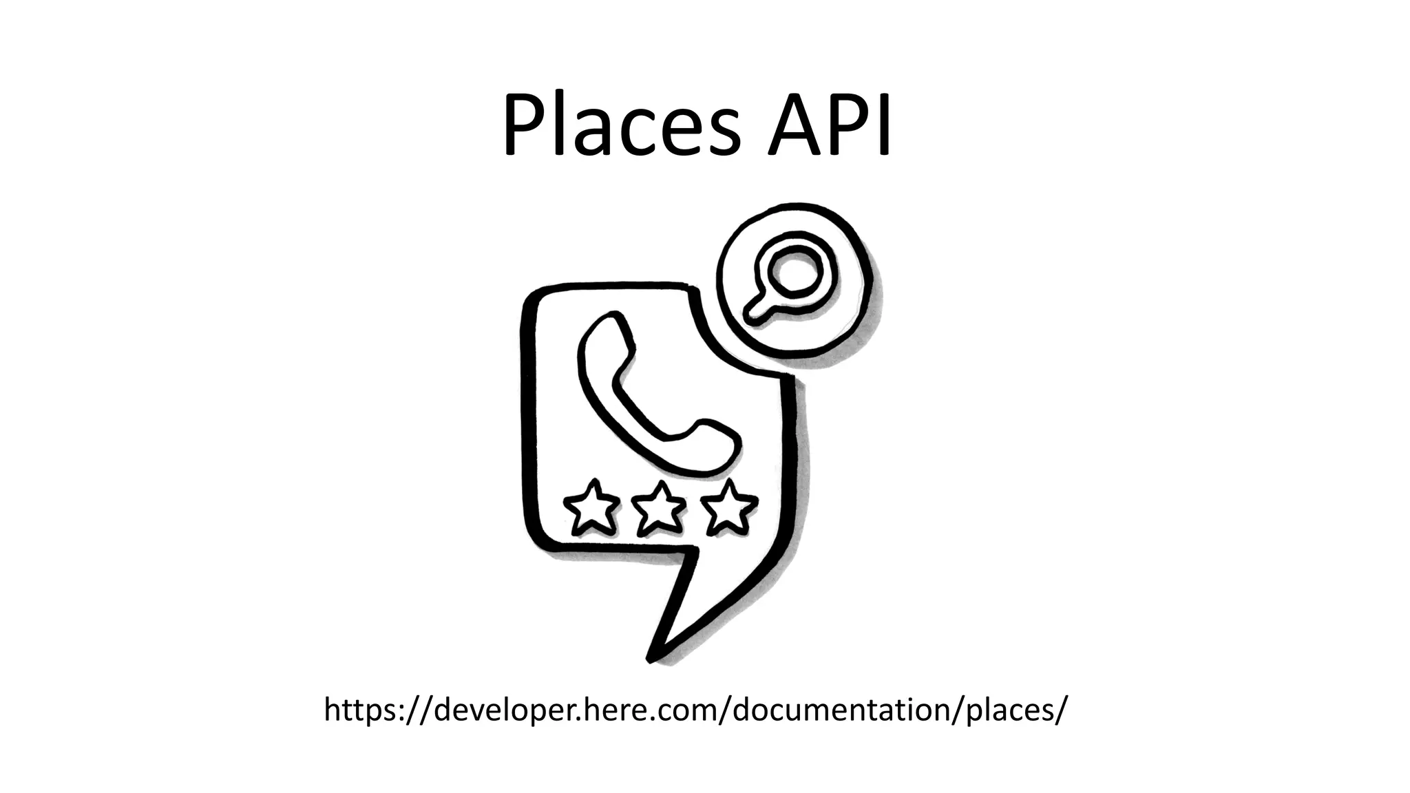
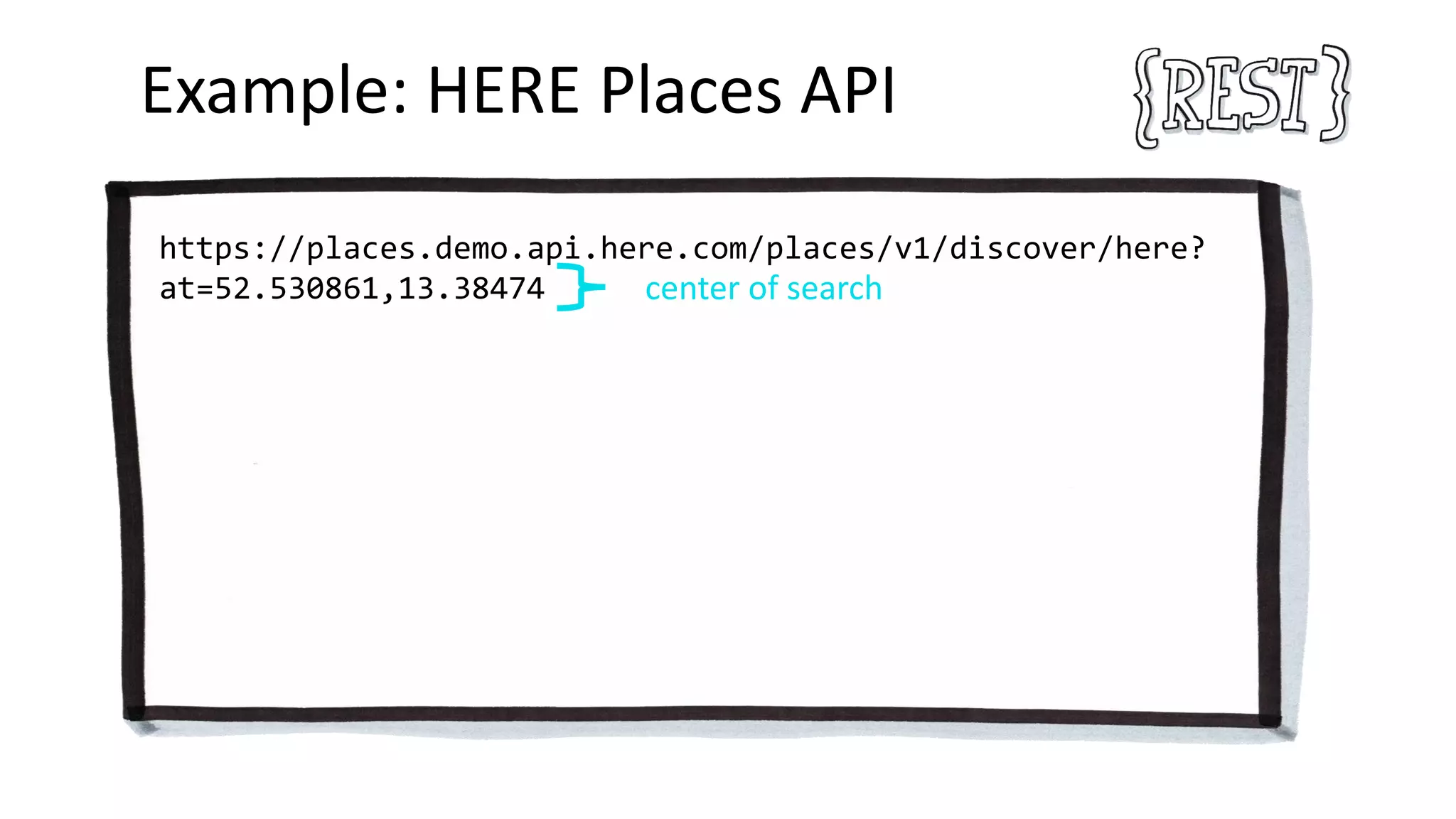
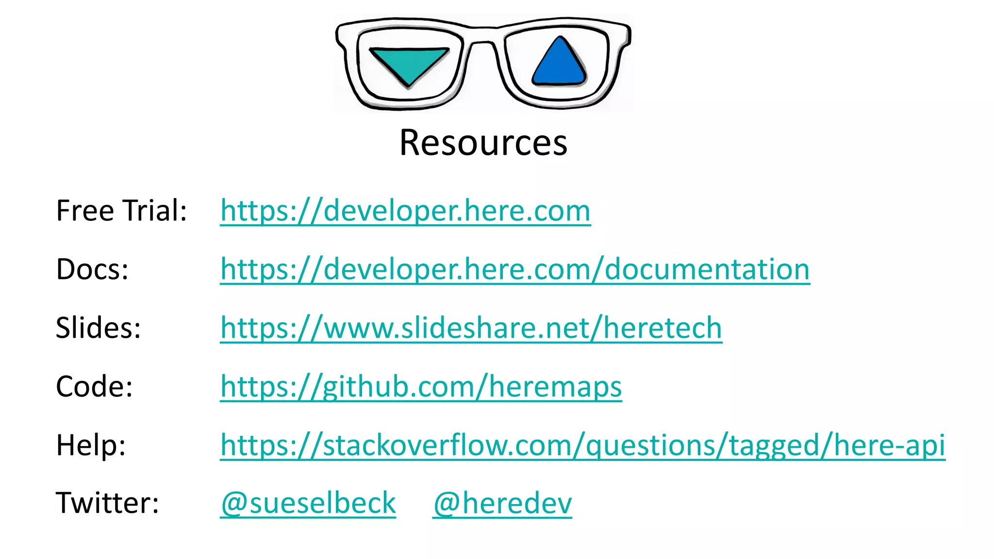

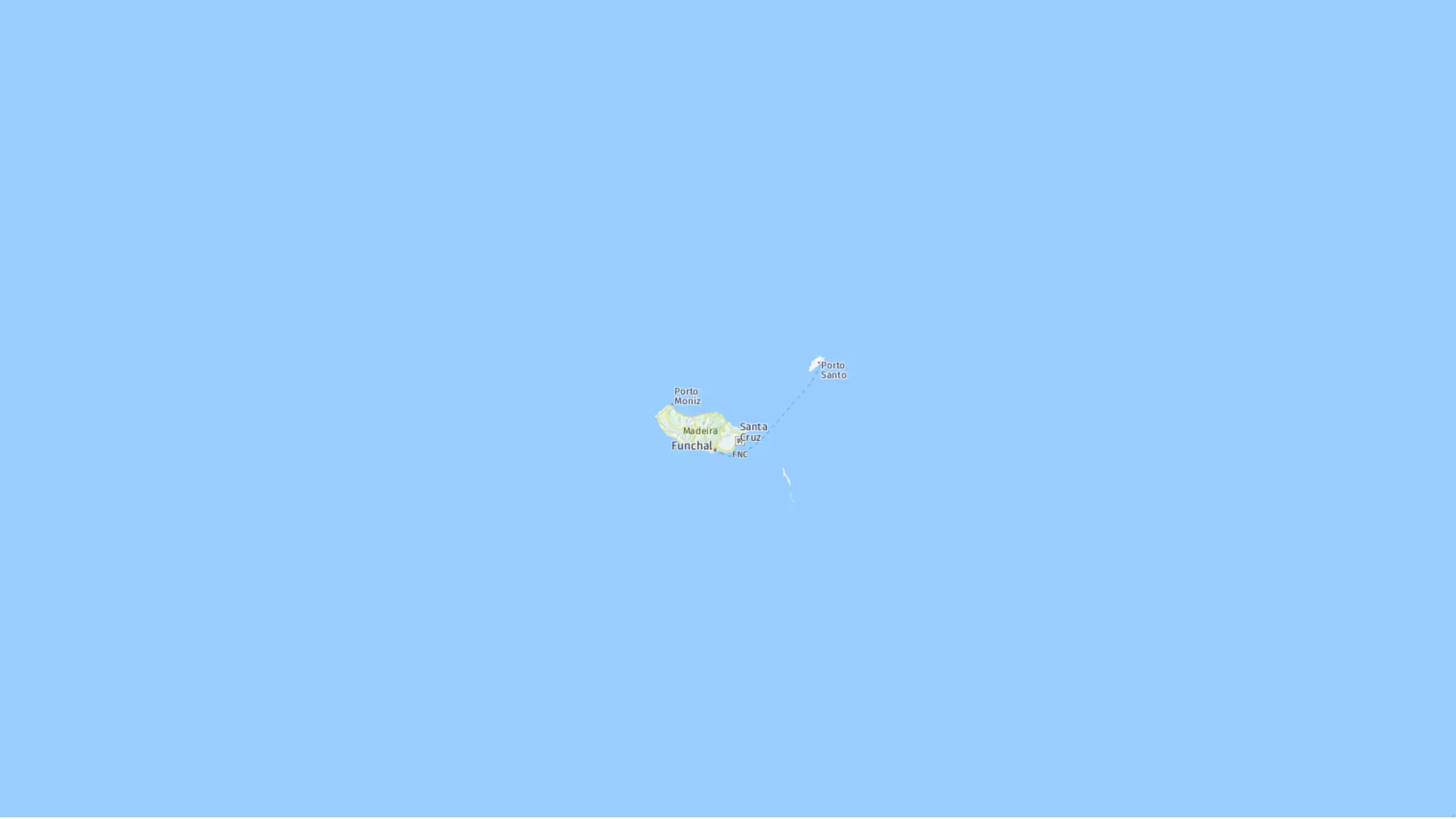
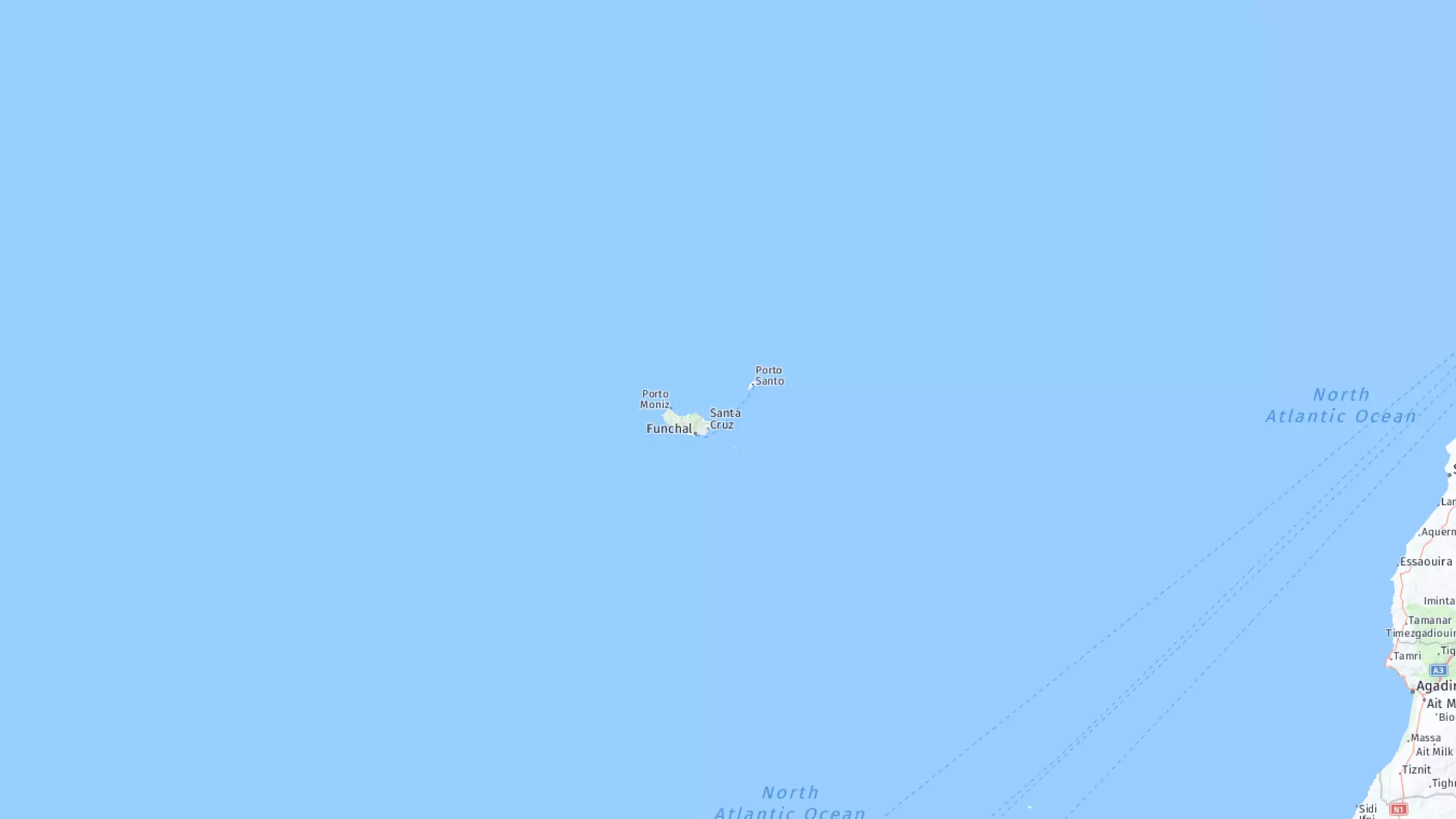
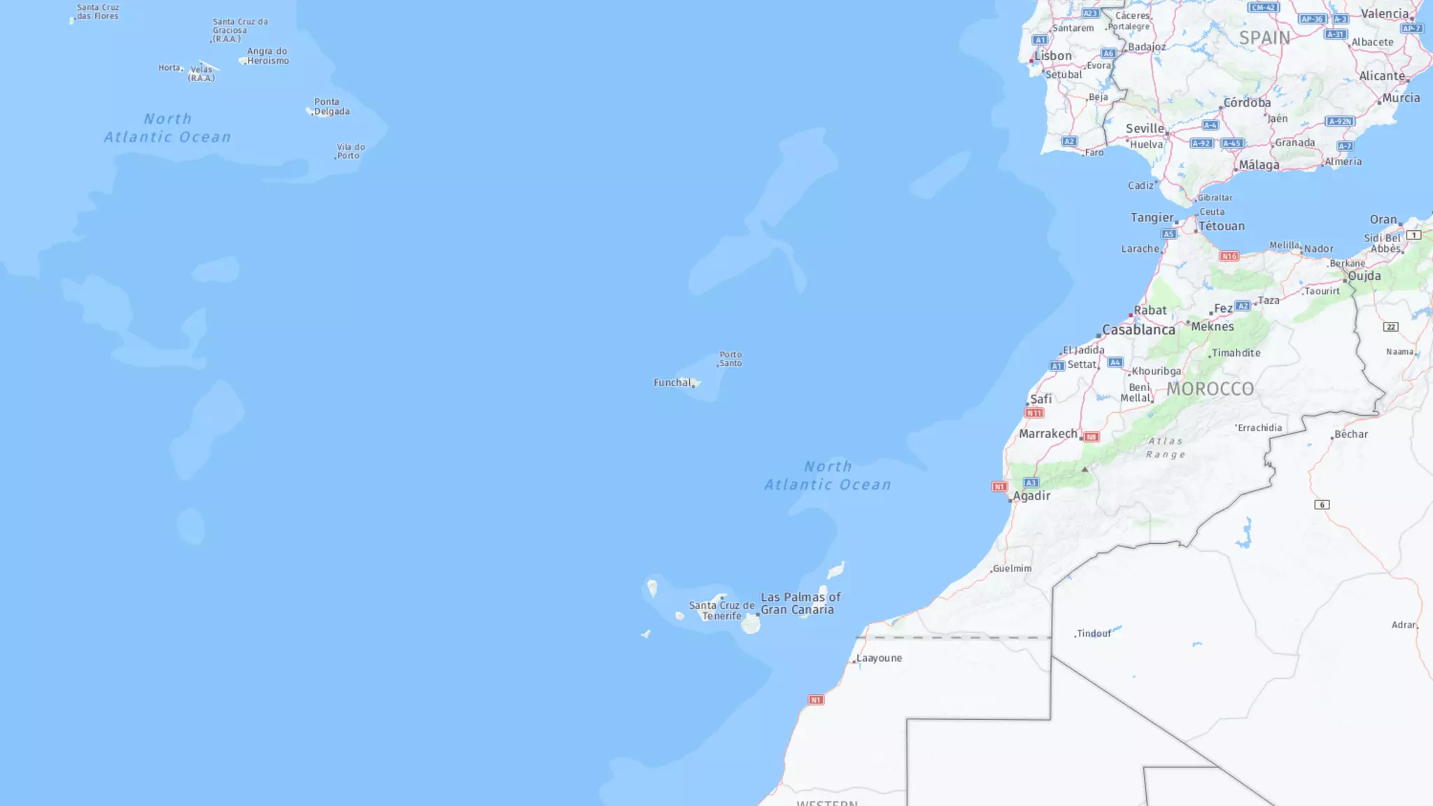
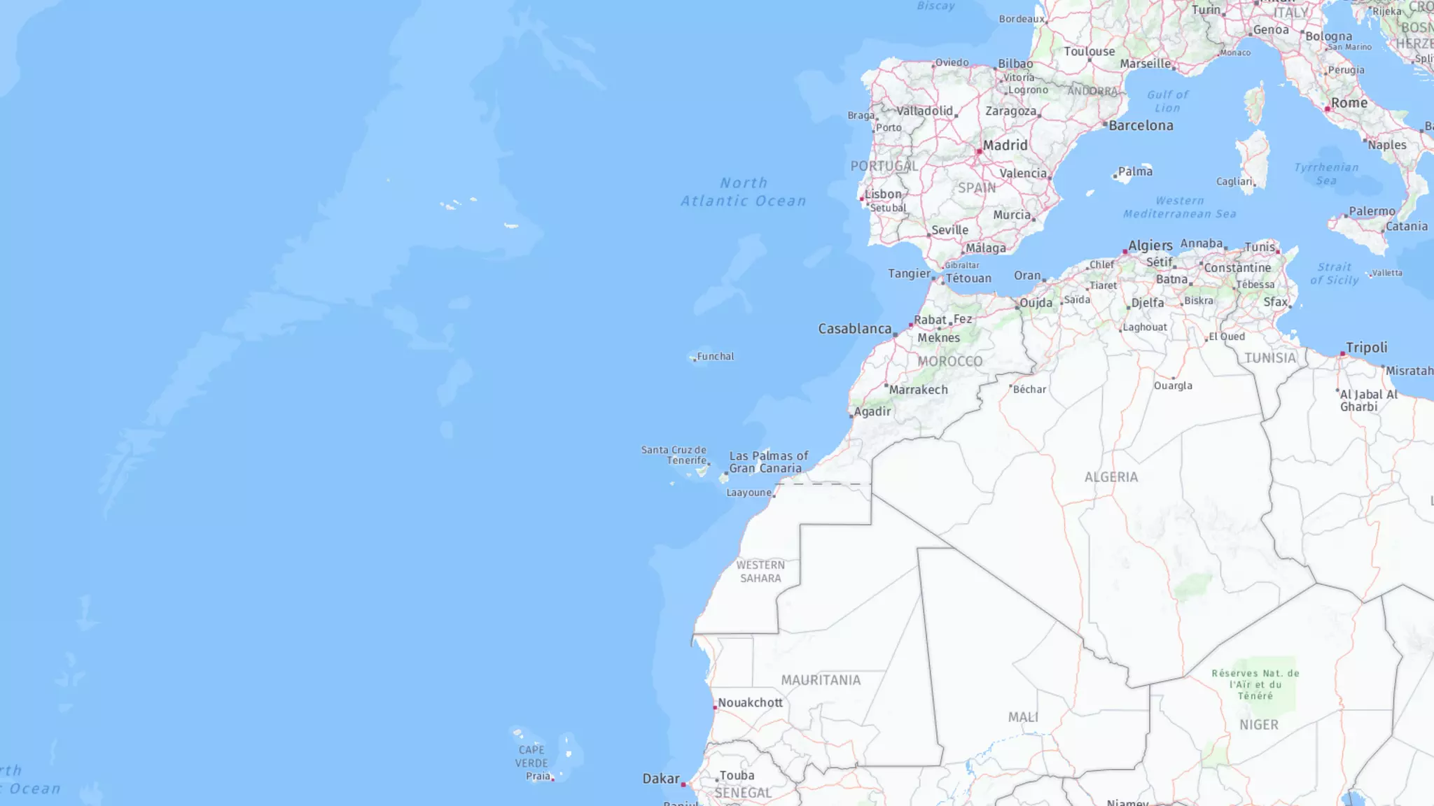
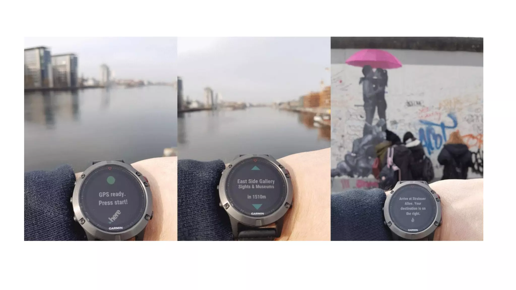
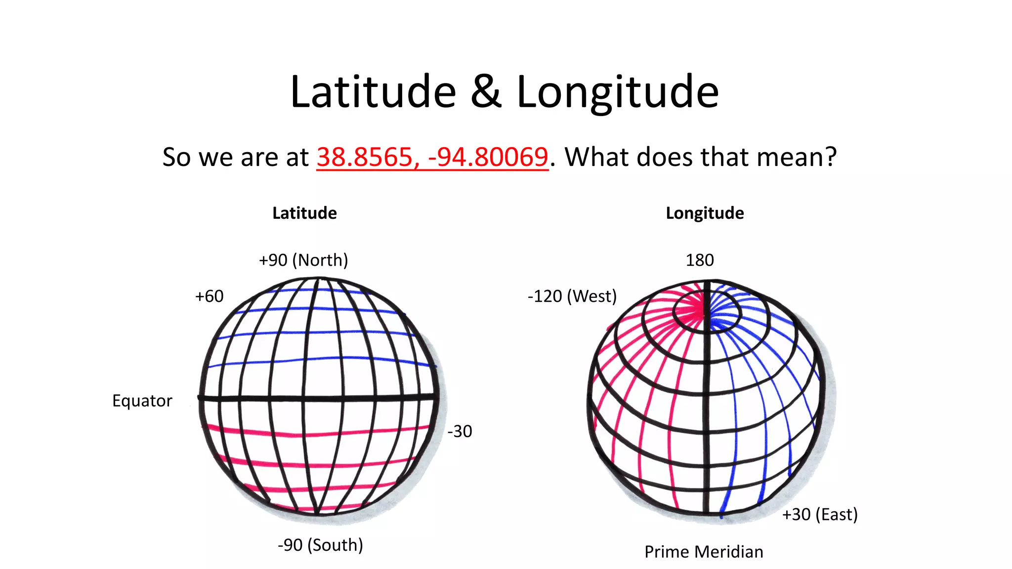
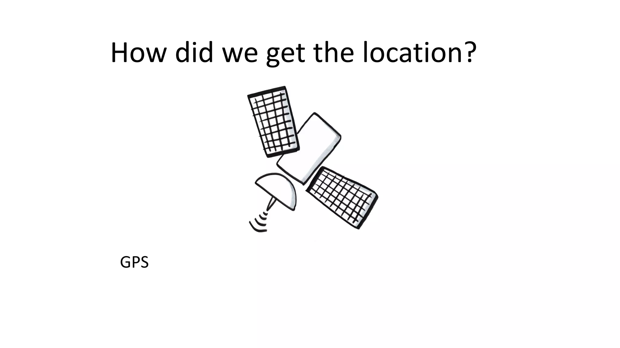
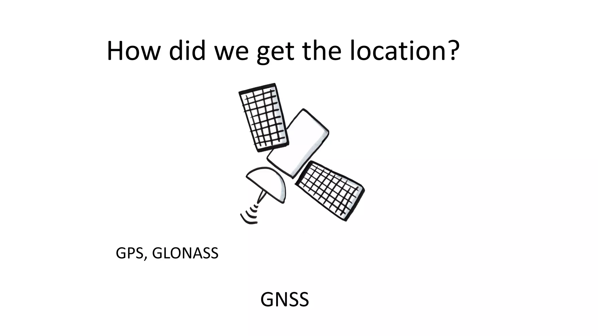
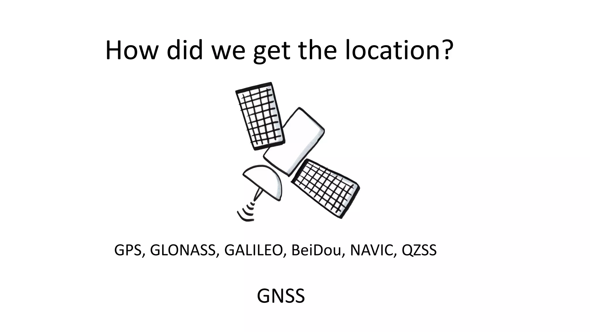
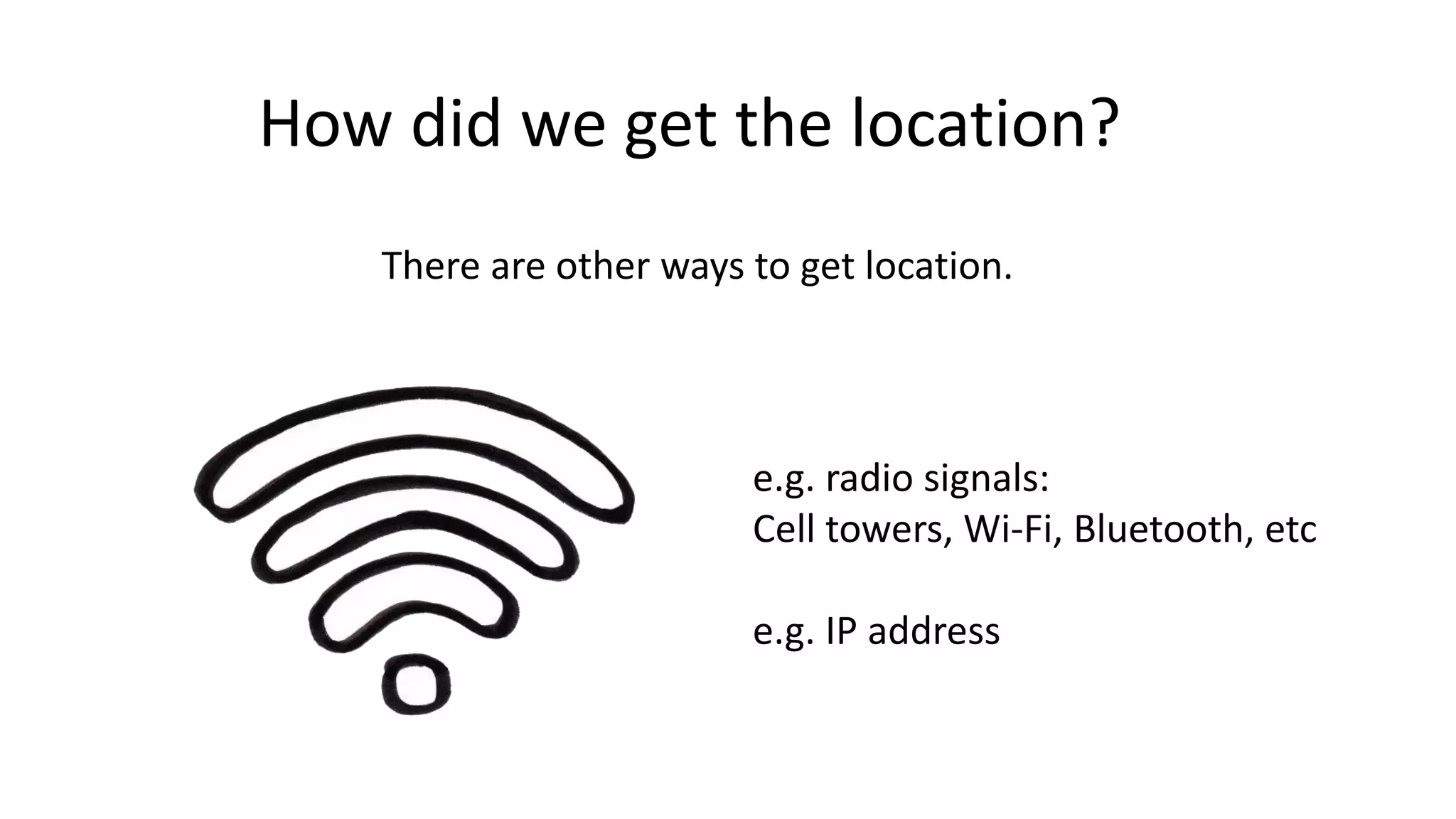
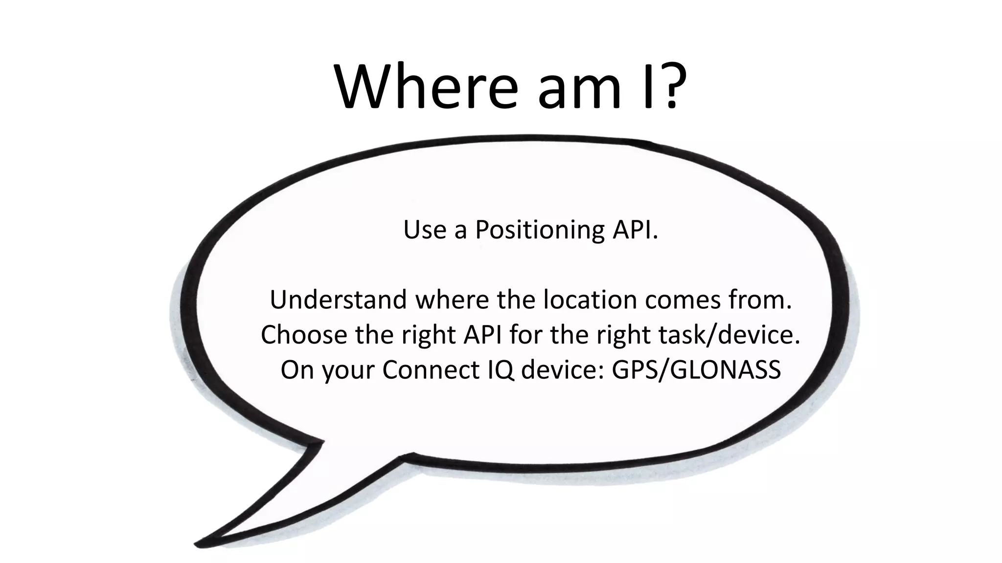
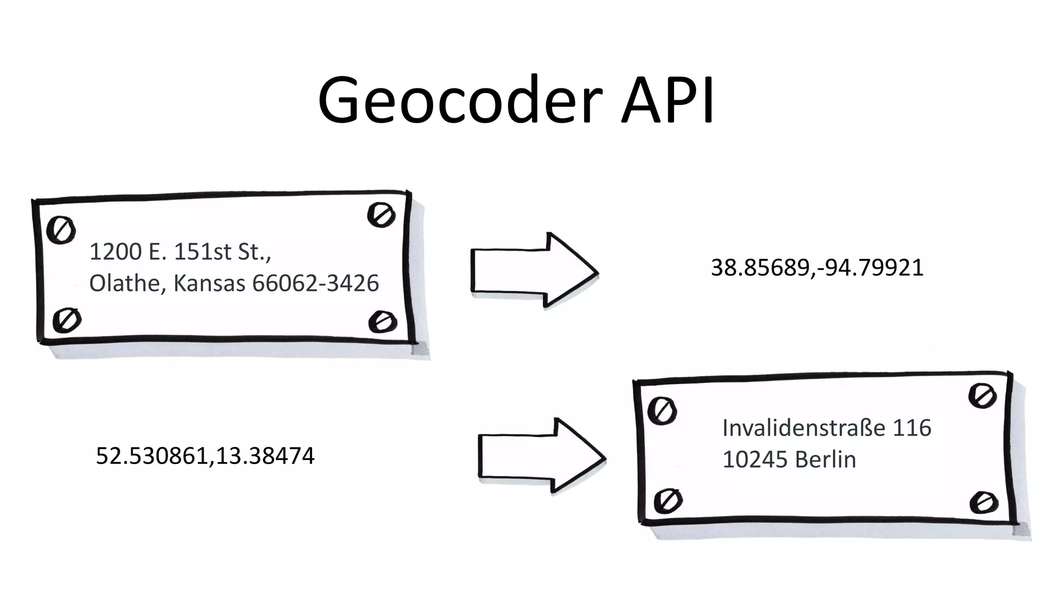
The document discusses HERE Technologies' location services, including how to determine a user's location using GPS and other methods. It outlines the use of APIs for retrieving map images, geocoding addresses, and obtaining information about nearby places. Additionally, it highlights the importance of context in navigation and offers links to resources and a workshop session for further learning.


![[2015/2016] Geolocation and mapping](https://cdn.slidesharecdn.com/ss_thumbnails/06bgeo-160413121805-thumbnail.jpg?width=640&height=640&fit=bounds)