Download to read offline


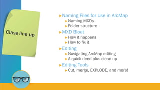
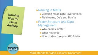
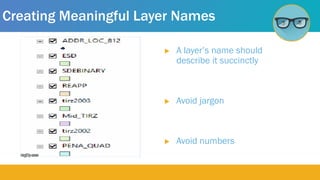


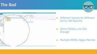
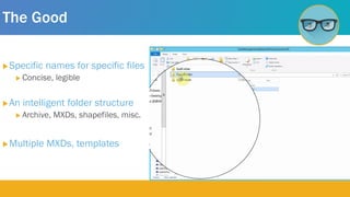
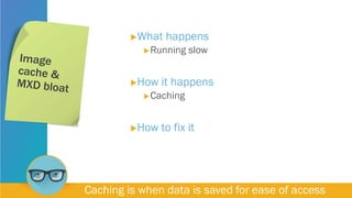
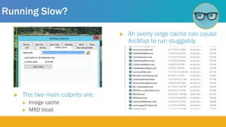

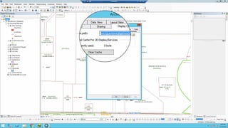
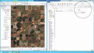

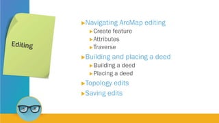
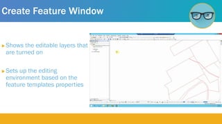


The document provides information about three GIS technicians - Bre Callear, Collin King, and Jordan Carmona - and their experience levels. It then covers best practices for naming files and folders in ArcGIS projects, how to address issues like slow performance from cache bloat, and tutorials for different editing tools in ArcMap including cutting polygons and merging data. The document aims to teach readers good file organization and data management techniques as well as tips for using common editing tools.


