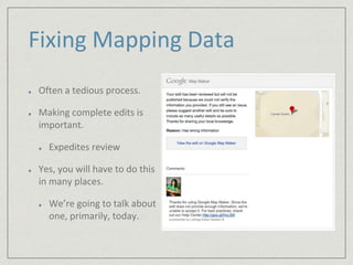
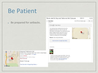
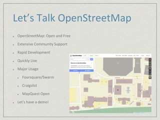
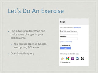
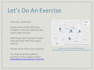
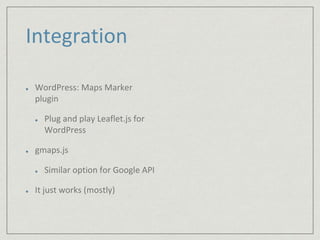
The document outlines a workshop led by Aaron Knight on using OpenStreetMap and Leaflet.js to create an interactive campus map. It covers the challenges of fixing mapping data, provides a hands-on demonstration for participants to update their campus areas, and explores advanced features such as layering points of interest. The session concludes with discussion on the future of mapping tools and integration options for platforms like WordPress.