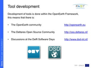
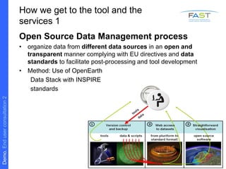
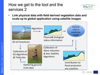
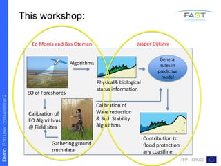
Download to read offline

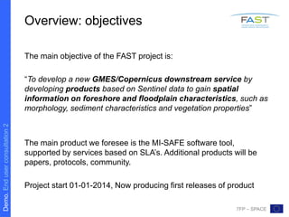
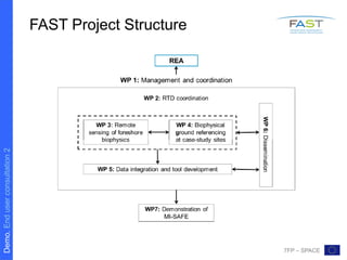
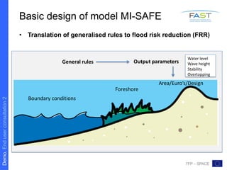

The FAST project aims to develop a new GMES/Copernicus downstream service to gain spatial information on foreshore and floodplain characteristics from Sentinel data. This will support the development of the MI-SAFE software tool and associated services. The tool will assess flood risk reduction based on foreshore characteristics and modeling scenarios. It will be developed within the OpenEarth framework using open source standards and tools. The workshop will provide an update on the FAST data management toolbox, EO data analysis methods, modeling wave attenuation, and requirements for linking models to EO data to gather feedback on improving the usability of the MI-SAFE tool.


