
Download to read offline
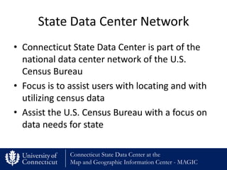
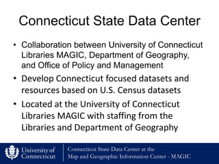
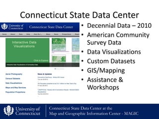
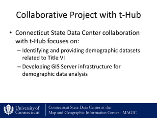


The Connecticut State Data Center is a collaboration between the University of Connecticut Libraries MAGIC, the Department of Geography, and the Office of Policy and Management. It is part of the national State Data Center Network and focuses on assisting users with census data and developing Connecticut-specific datasets and resources. The Data Center helps process and visualize census data to make it more accessible for mapping and analysis. It works with other groups like the t-Hub to identify and provide demographic data related to Title VI and develop GIS infrastructure for related analysis.


