
Download as PDF, PPTX


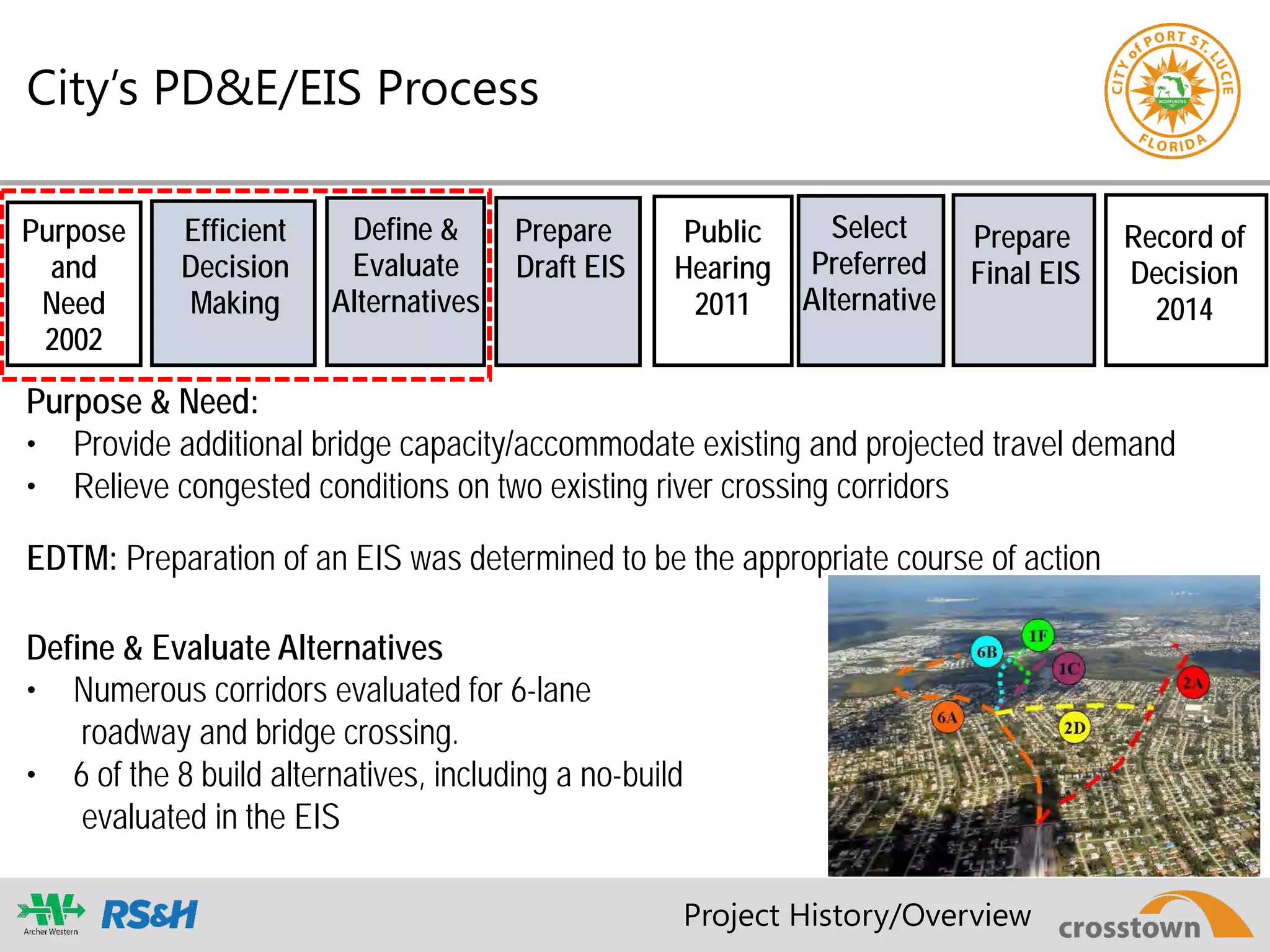
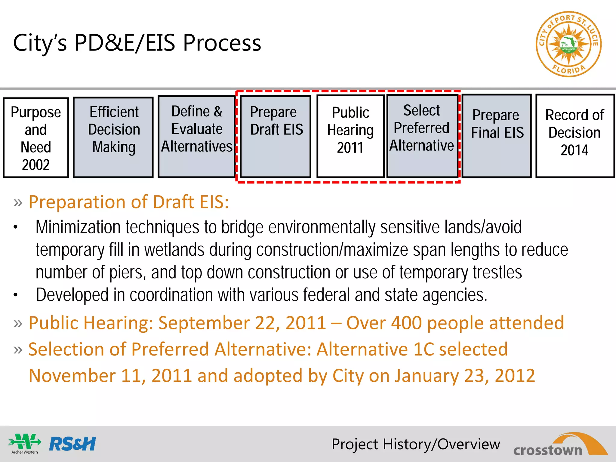

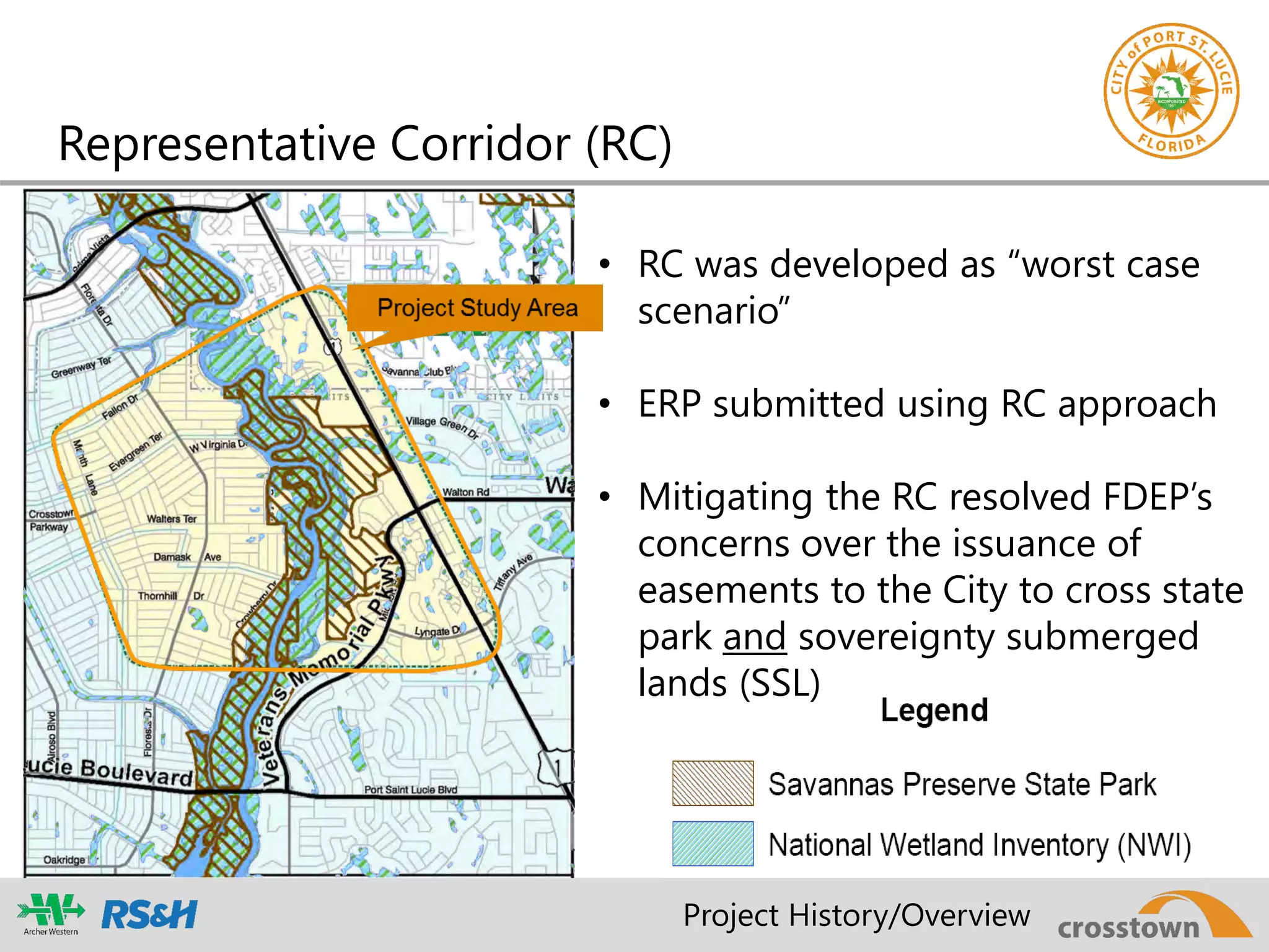


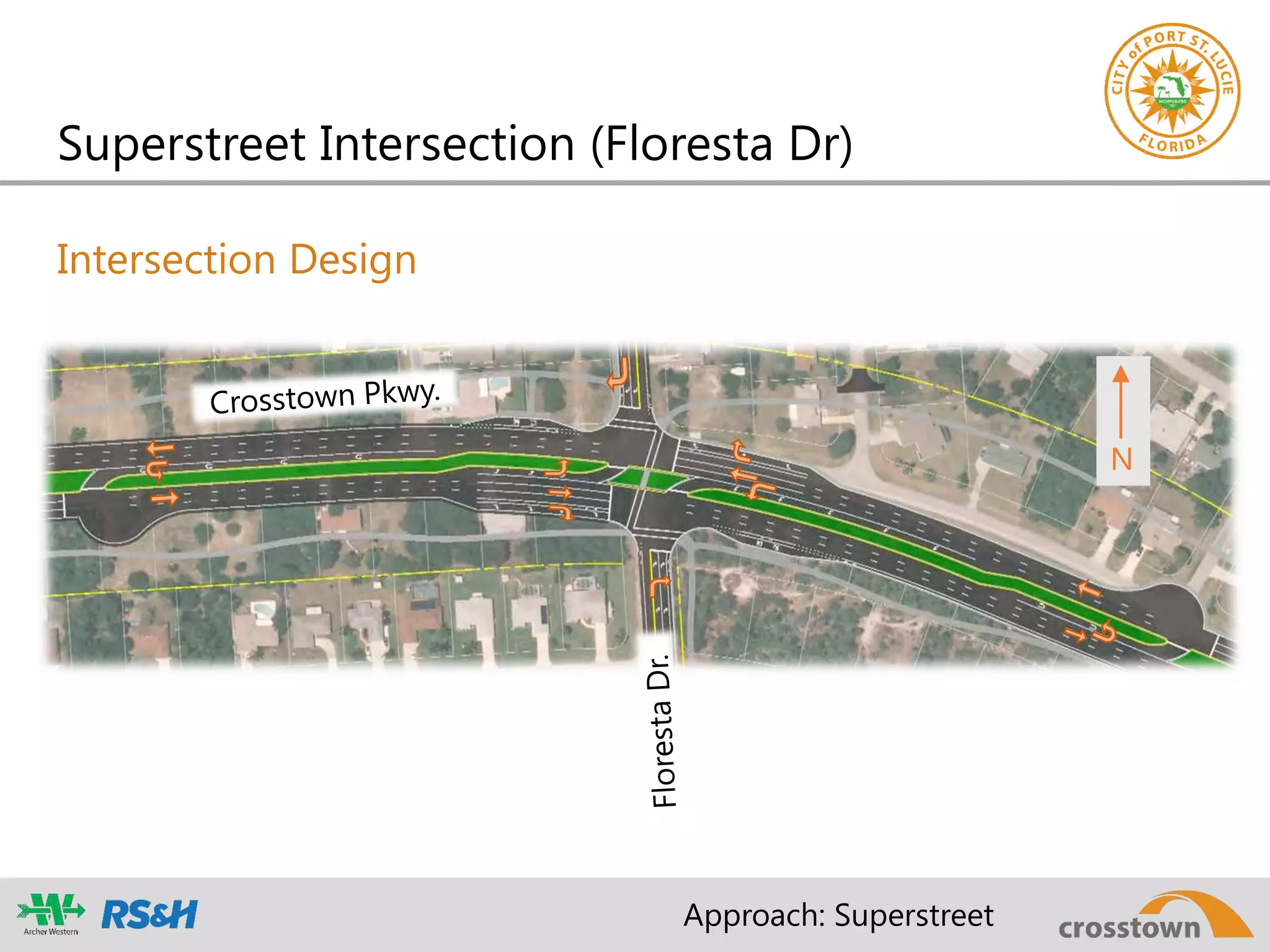
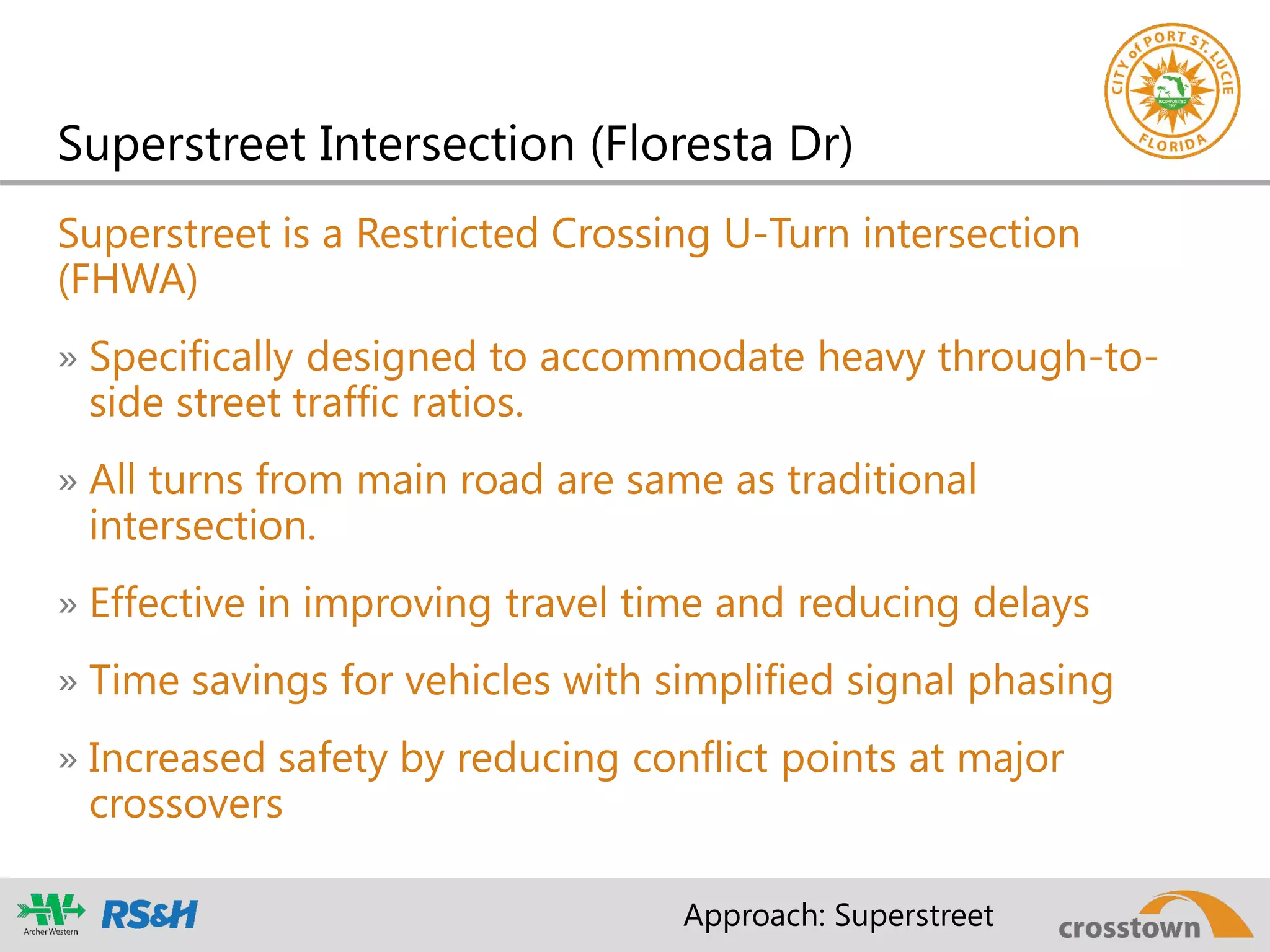

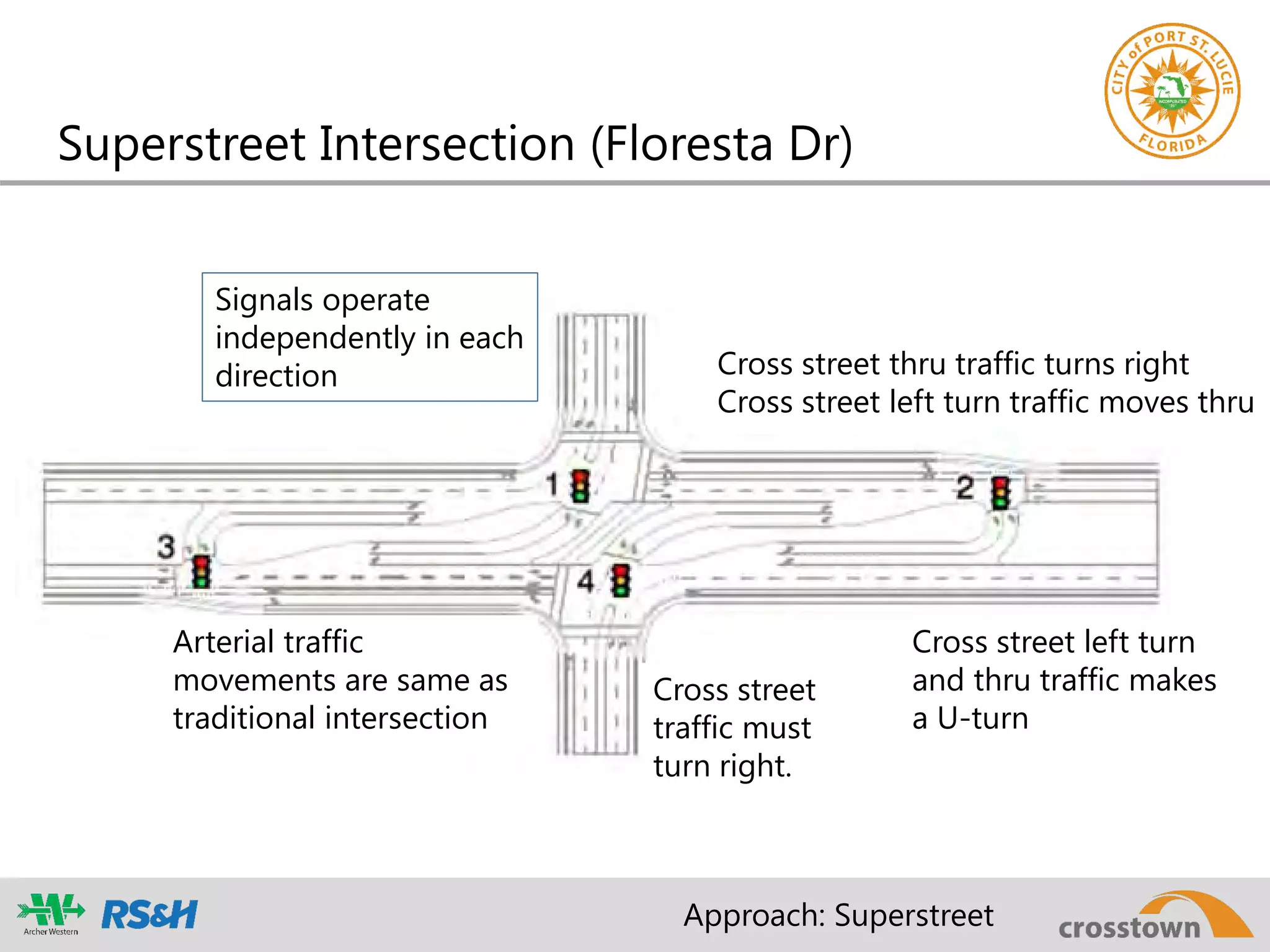
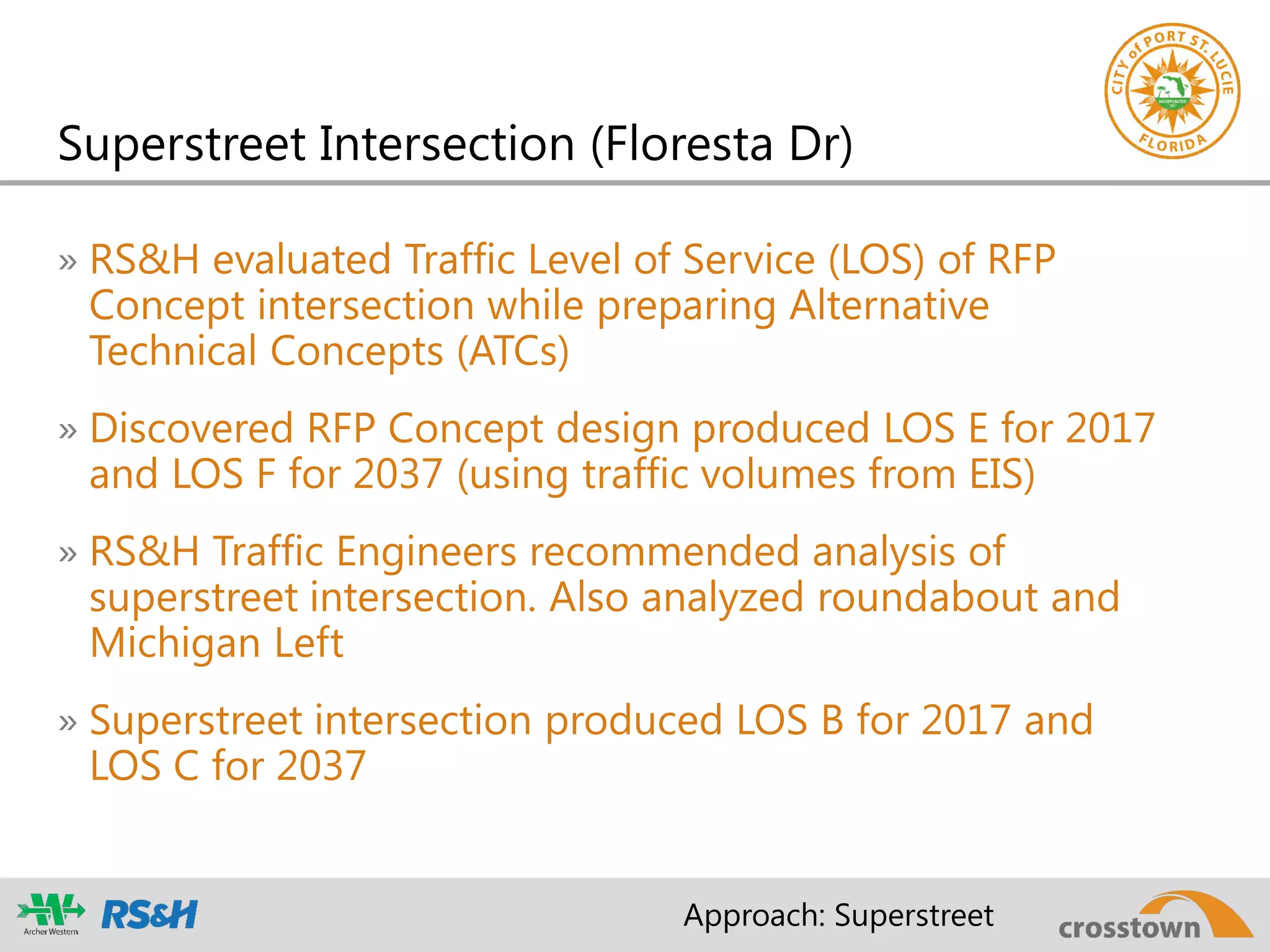


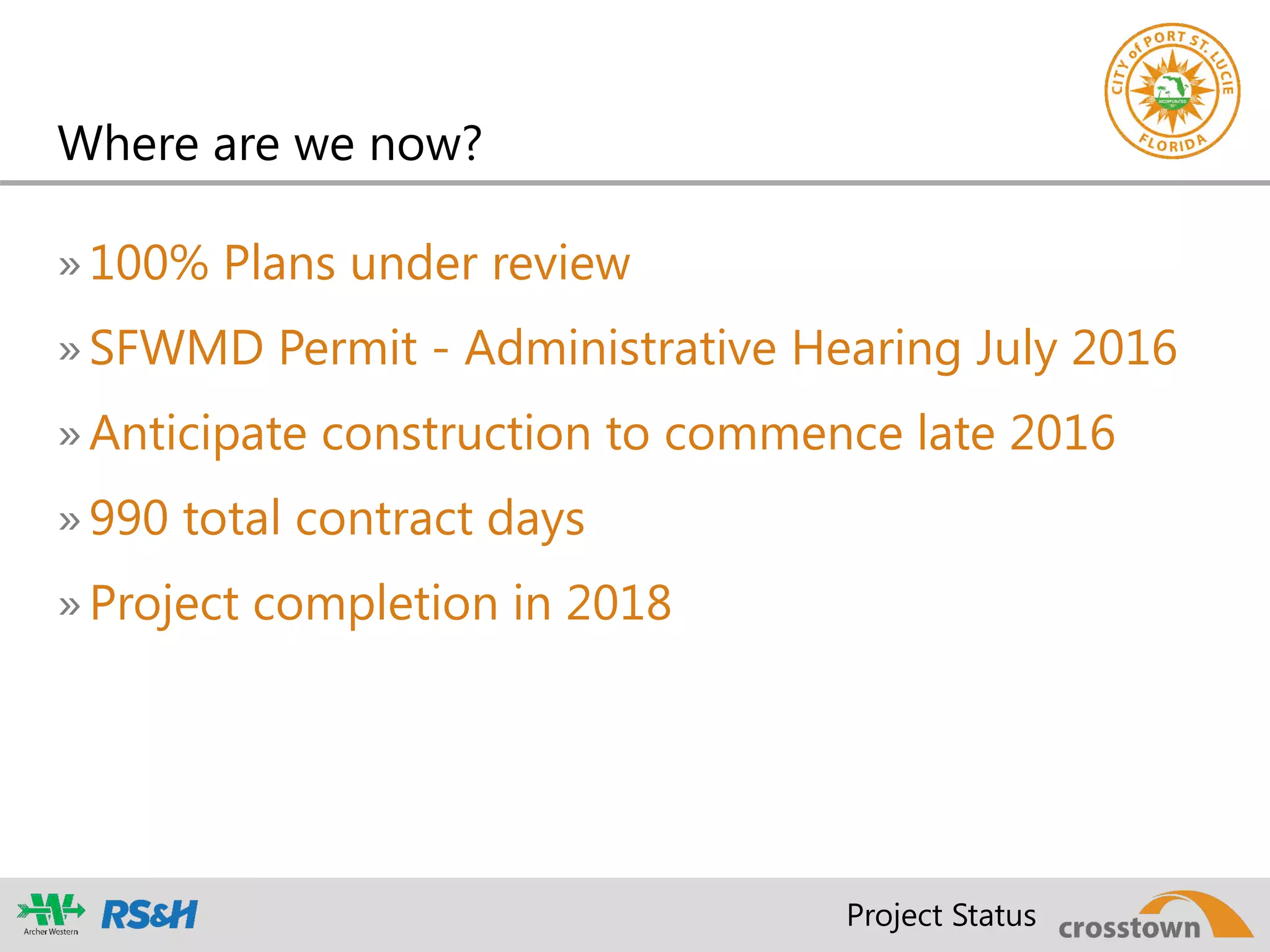

The document summarizes a presentation about the Crosstown Parkway Extension project in Port St. Lucie, Florida. It discusses the project history from the 1980s to present day, including planning efforts, environmental studies, and the selection of a preferred alternative. It describes the design-build procurement process used and highlights innovations from the winning Archer Western/RS&H team, including the implementation of a superstreet intersection design to improve traffic flow and safety.


