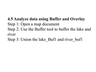
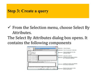
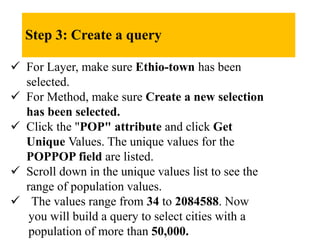
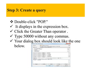
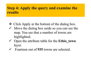
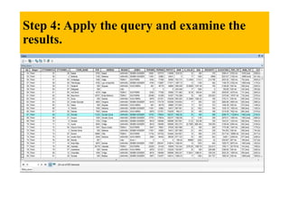
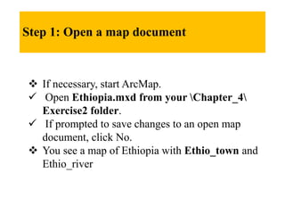
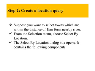
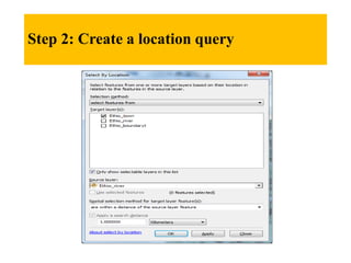
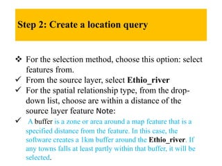
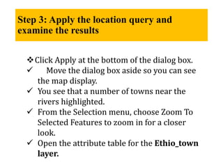
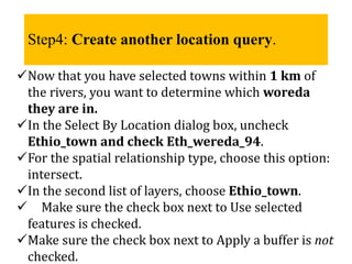
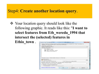
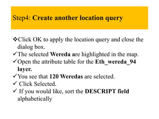
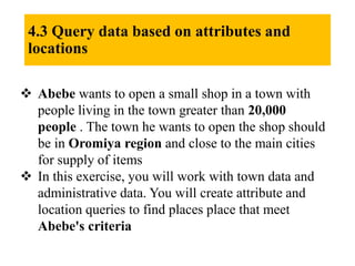
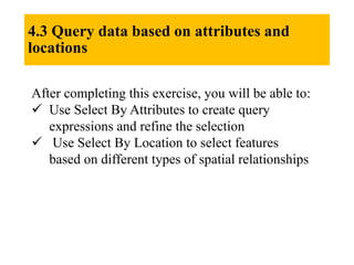
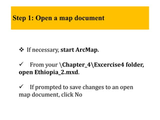
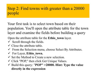
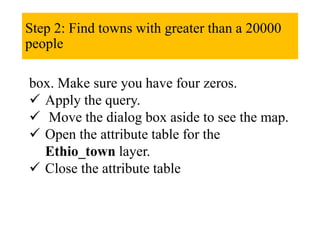
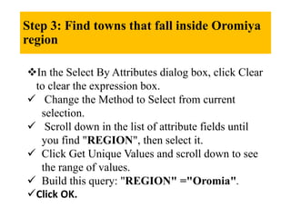
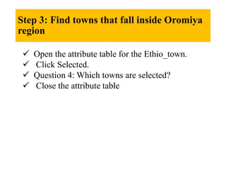
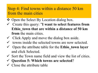
This document describes how to query and analyze spatial data in ArcMap. It provides steps to create attribute and location queries to select features based on their attributes or spatial relationships. The steps include how to select towns with a population over 20,000 that are in the Oromia region and within 50 km of main cities. Creating queries narrows down selections to only relevant features and allows analysis of their attributes and relationships.


![[Deck] What's New in Spark-Iceberg Integration via DSV2.pptx](https://cdn.slidesharecdn.com/ss_thumbnails/deckwhatsnewinspark-icebergintegrationviadsv2-260210005337-25955b12-thumbnail.jpg?width=640&height=640&fit=bounds)


