Downloaded 40 times


![{
"time":0.002,
"total_rows":1,
"rows":[
{"lon":-87.6376,
"lat":41.8824}
]
}
Thursday, September 15, 11](https://image.slidesharecdn.com/cartoset-110915110230-phpapp01/85/Cartoset-62-320.jpg)


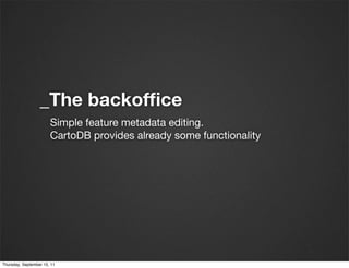
Cartoset is a lightweight framework designed for creating visually engaging geo portals that simplify the development of geospatial dataset websites. It emphasizes design-first principles, deployability on cloud platforms like Heroku, and utilizes technologies such as Ruby on Rails and PostGIS. The framework streamlines workflows from data import to deployment, making it user-friendly and efficient for projects involving diverse geospatial data.


