Download as PDF, PPTX


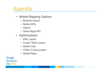
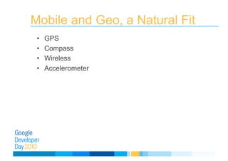
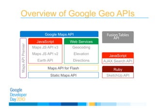
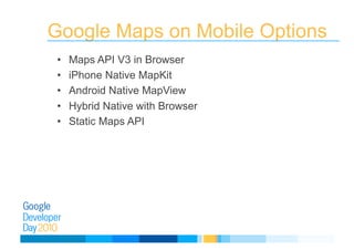
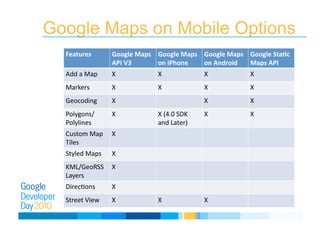
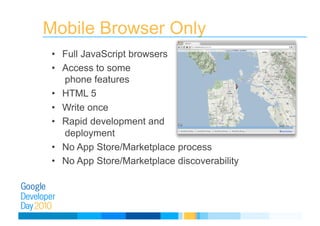
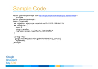
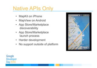
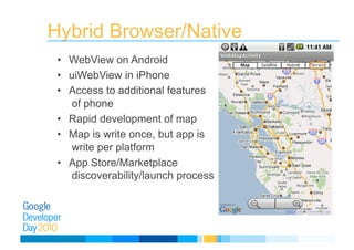
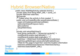

The document provides an overview of mobile mapping options using Google APIs, including browser-based, native, and hybrid methods. It details features such as KML layers, HTML5 geolocation, and various development paths across platforms like iPhone and Android. Additionally, it discusses optimizations for user experience and provides sample code for implementation.