The document is about the Geomatics Engineering Study Program at the Unjani University in Indonesia. It contains the following key points:
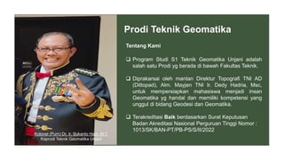
1. The Geomatics Engineering Study Program was established under the Faculty of Engineering at Unjani University on the initiative of the former Director of Topography of the Indonesian Army to prepare students to become reliable Geomatics professionals with superior competencies in Geodesy and Geomatics.
2. The study program is accredited as having a "Good" status based on the Decree of the National Accreditation Board for Higher Education.
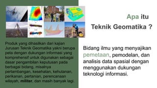
3. It aims to produce maps and spatial information to support decision making in various fields such as mining, health, forestry