Download to read offline
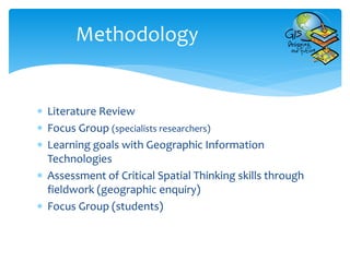
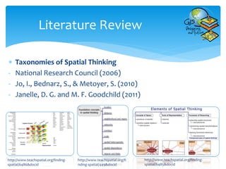
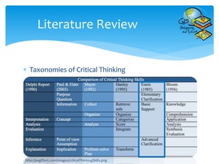
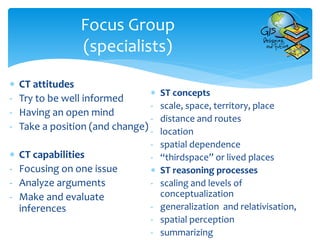
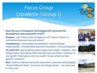
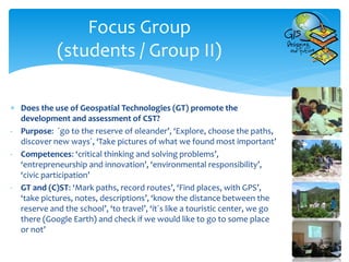
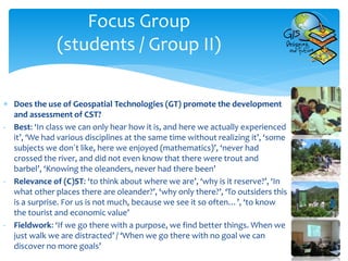
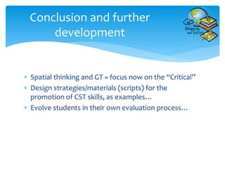

This document discusses a research project that aims to promote and assess students' critical spatial thinking skills through the use of geospatial technologies. The project seeks to determine if geospatial technologies can effectively develop and evaluate critical spatial thinking in the context of education for sustainable development. The methodology involves a literature review on spatial and critical thinking, focus groups with specialists and students, developing learning goals involving geospatial technologies, and assessing critical spatial thinking through fieldwork activities. Preliminary findings from focus groups with students indicate that geospatial technologies help promote competencies like environmental responsibility and allow students to explore places they have never been to before. Students also felt they had fun while learning through this approach. The researchers conclude that further focus should be placed on the "


