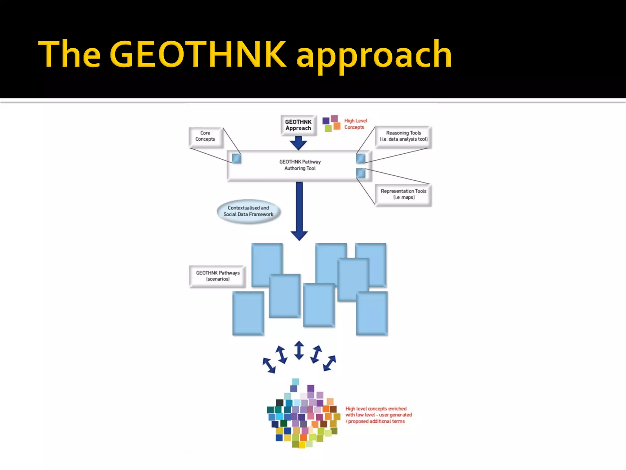
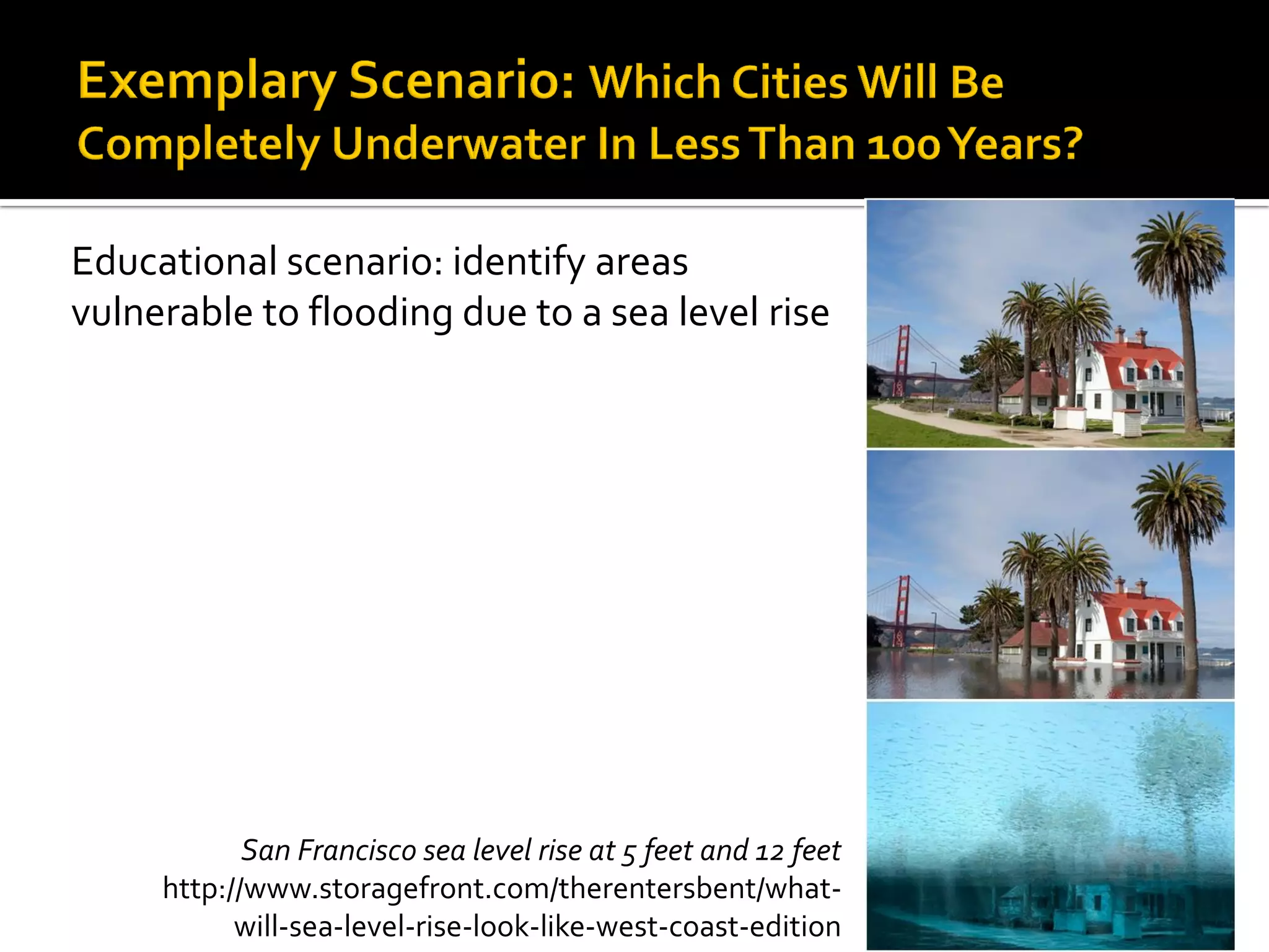
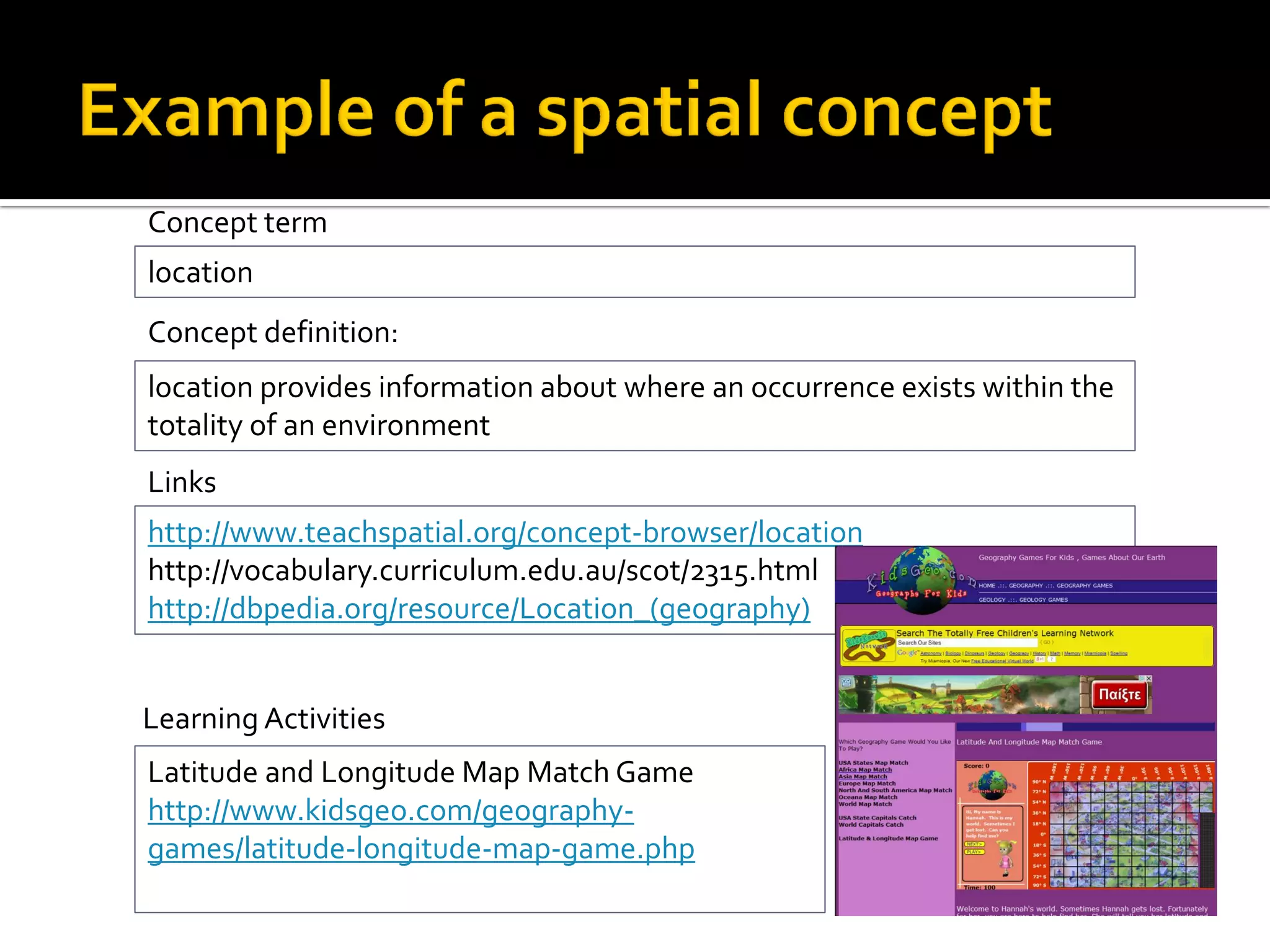
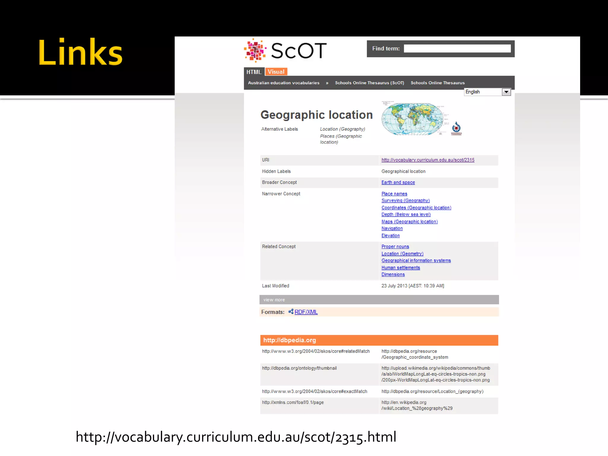
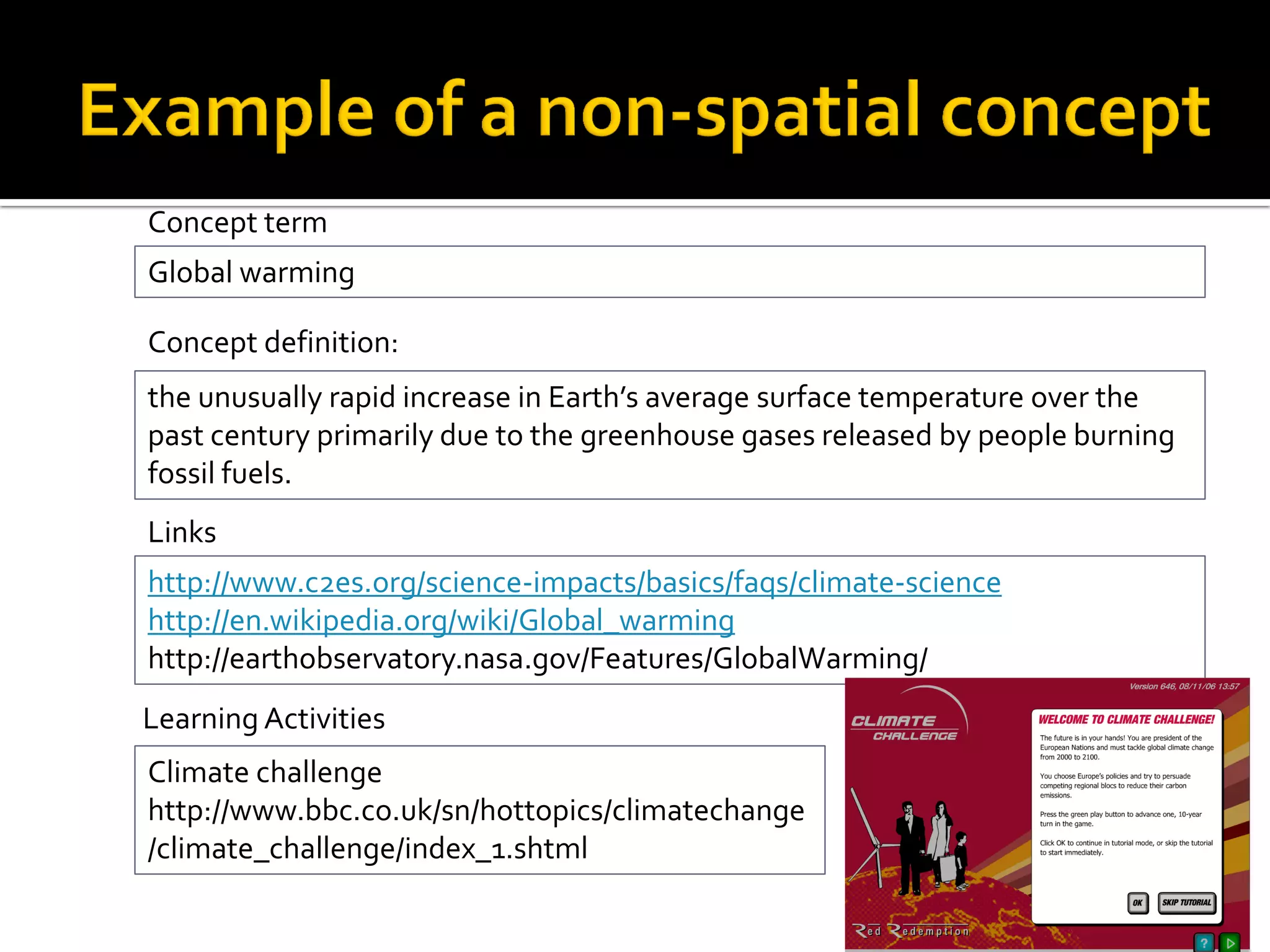
The document describes the GEOTHNK project which aims to enhance geospatial thinking skills through an innovative learning platform. The goals are to improve spatial thinking using ICT and open collaboration, and to offer an approach that allows interdisciplinary organization and semantic linking of knowledge. The platform will provide learning pathways focusing on core concepts, tools, reasoning processes and activities. It will enable access to resources, creation of new pathways using authoring tools, and formulation of a semantic network to facilitate knowledge exploration. Educational scenarios address spatial and environmental concepts like location, elevation, global warming and flooding through maps, models, apps and diagrams to raise awareness and develop problem solving skills across disciplines.