Download as PDF, PPTX


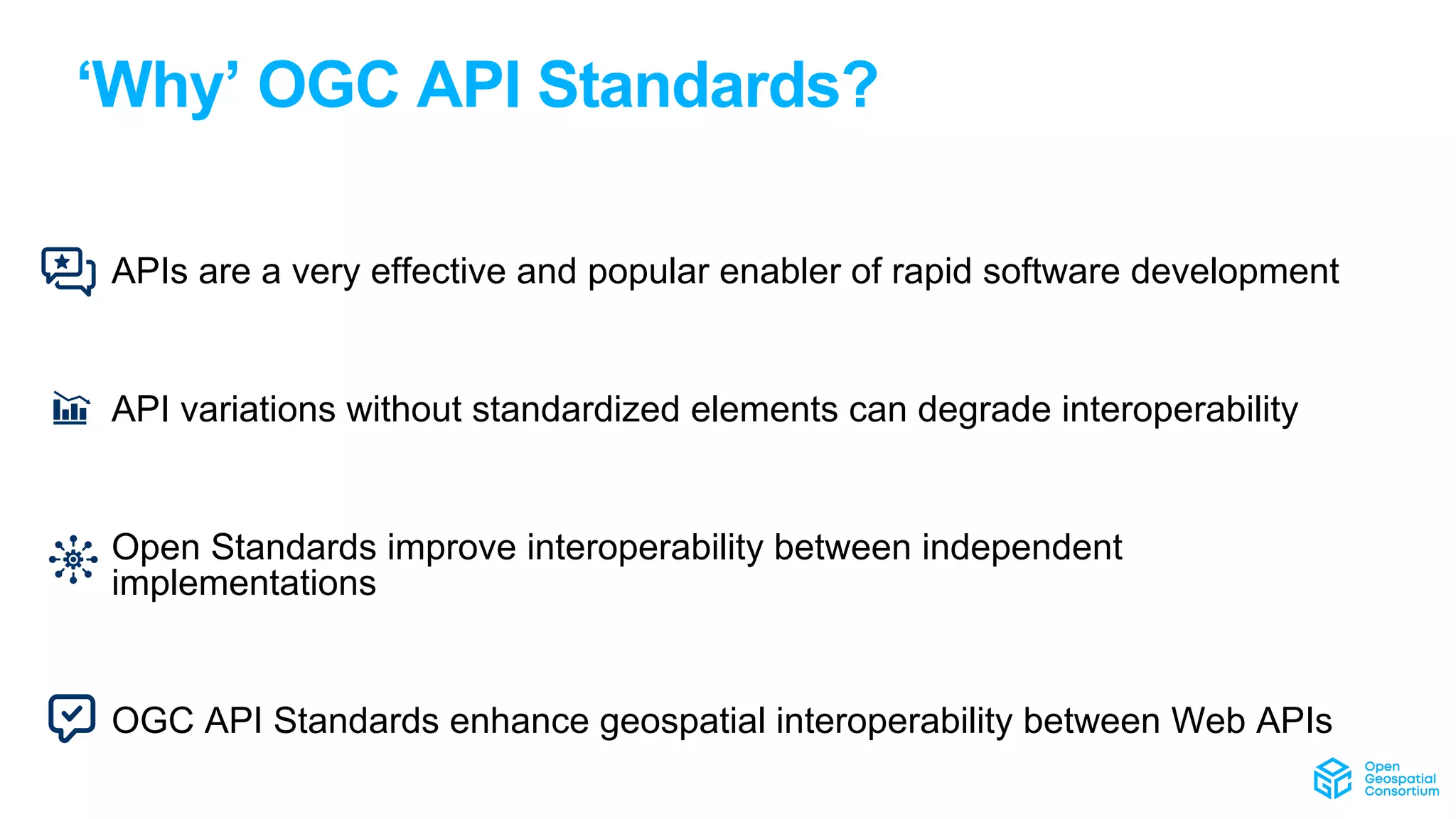
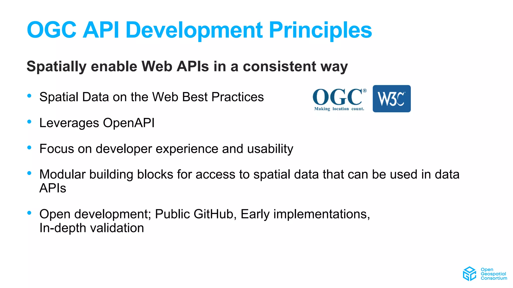
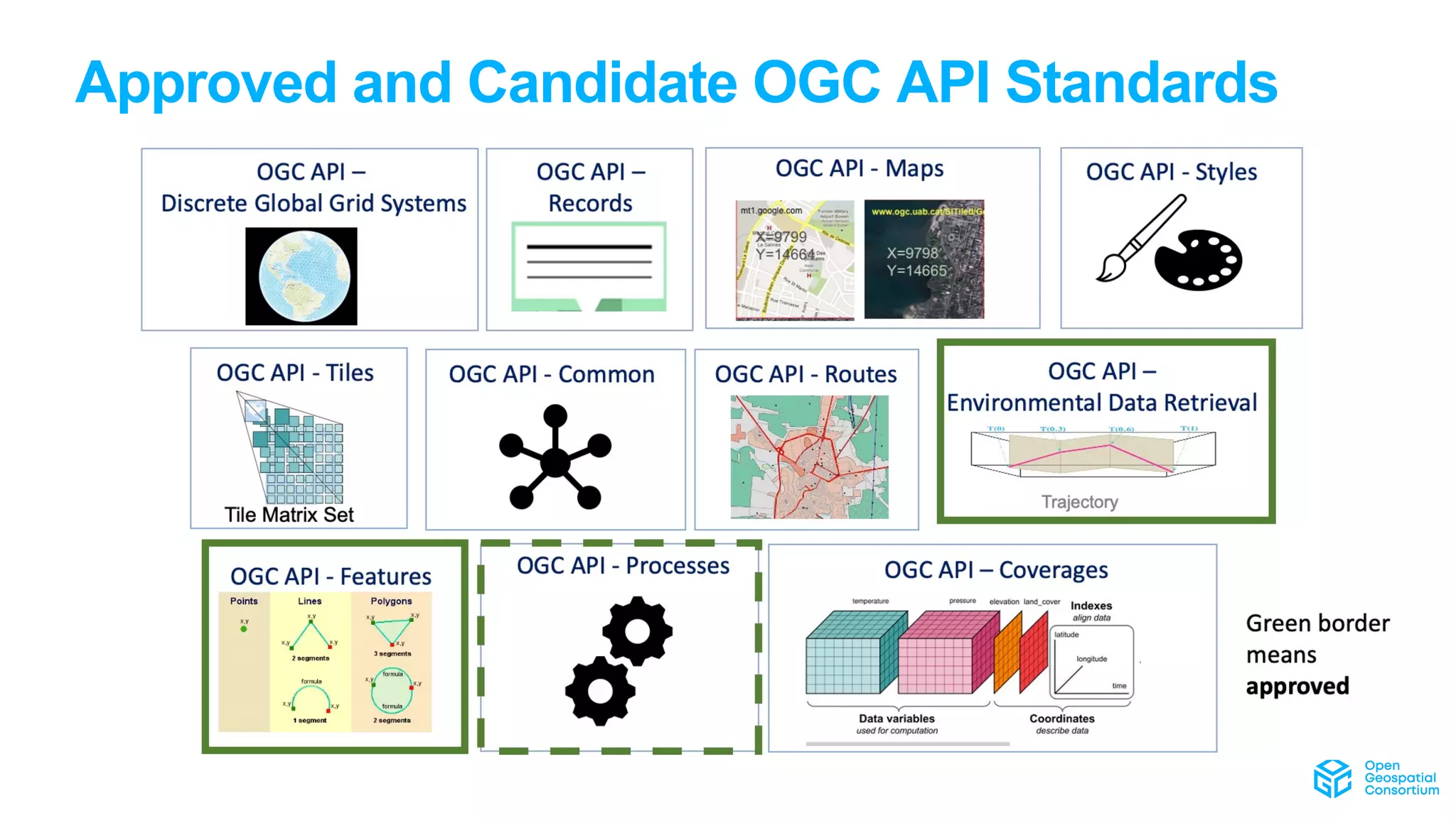
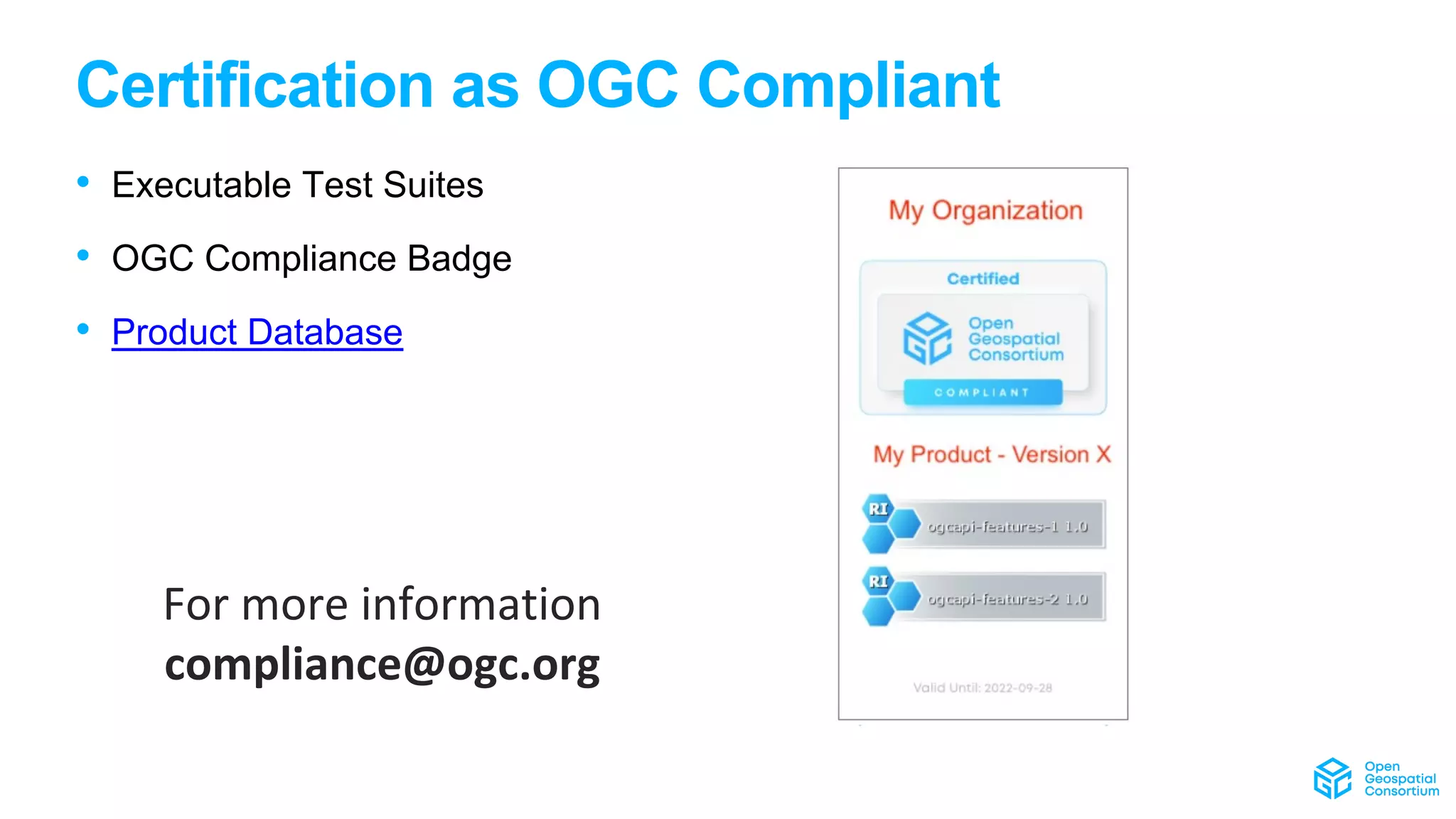


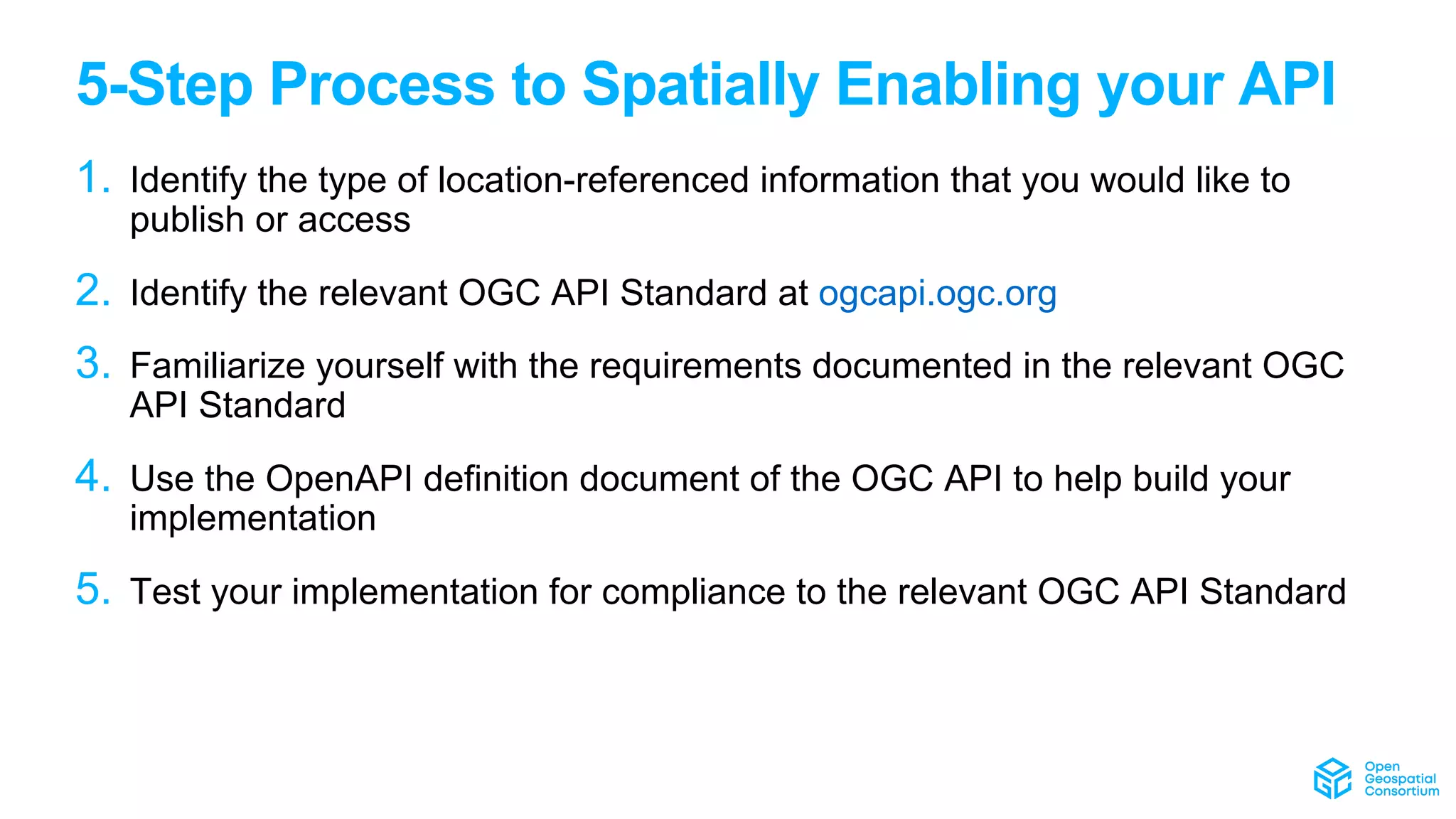
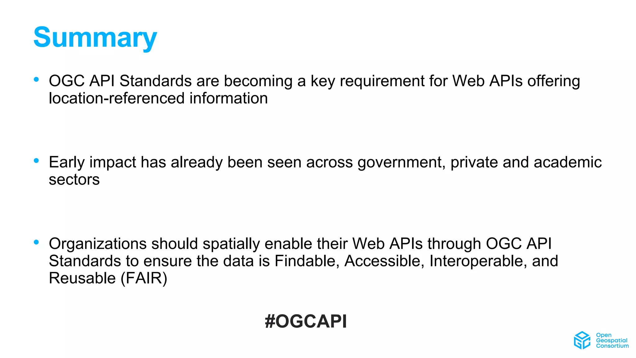


The document outlines the importance of OGC API standards for spatially enabling web APIs and emphasizes their role in enhancing interoperability of location-referenced information across various sectors. It describes a five-step process for API development and compliance, and highlights the broad community and innovation initiatives backed by the Open Geospatial Consortium. The document encourages organizations to adopt these standards to ensure that their data remains findable, accessible, interoperable, and reusable.