Download as PDF, PPTX
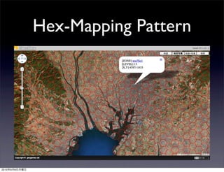
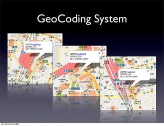
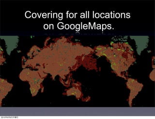
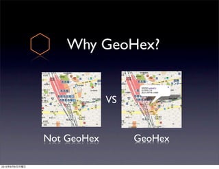
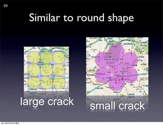
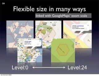
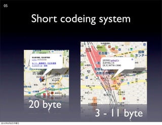
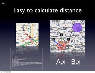


GeoHex is a hexagonal mapping and geocoding system that provides more precise location data than standard latitude-longitude coordinates. It divides the globe into a hex grid reference system with codes that are shorter than other methods and allows for flexible precision at different zoom levels on maps like Google Maps. GeoHex aims to make location data sharing and distance calculations easier compared to traditional methods. It is an open source project available under a Creative Commons license, with code libraries provided for various programming languages.