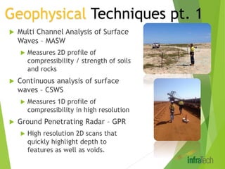
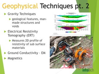
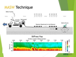
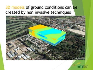
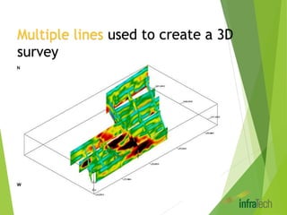
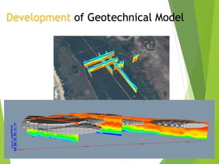
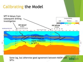
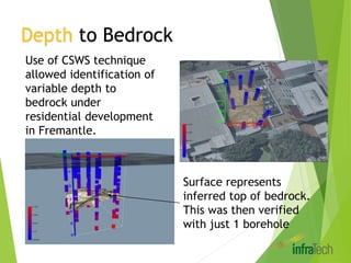
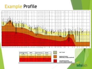
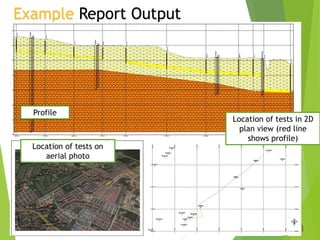
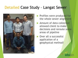
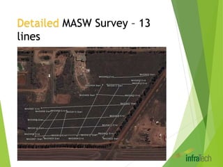
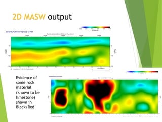
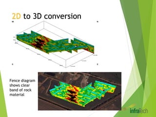
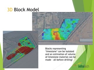
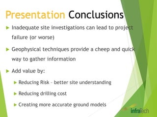
This document discusses the use of non-invasive geophysical techniques to build 3D ground models and reduce the cost and risk of site investigations. It provides examples of using techniques like MASW, CSWS, GPR to map soil properties and depth to bedrock in order to develop detailed geotechnical models. Case studies describe creating models for a sewer project in Langat, Malaysia and a landfill project in Western Australia, allowing identification of problem areas without extensive drilling and reducing costs. The document concludes that geophysical techniques provide a cheap and quick way to gather valuable site information.