Download to read offline
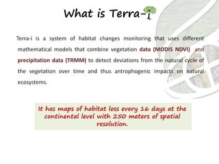
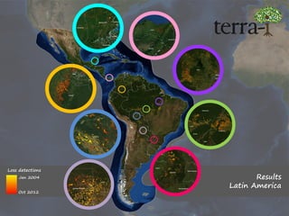
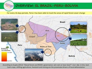
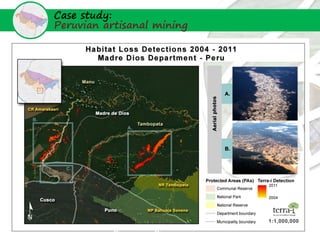
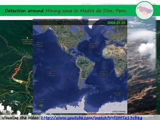
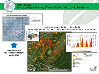
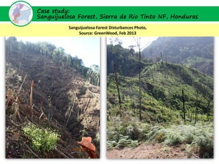
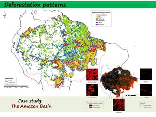
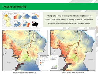
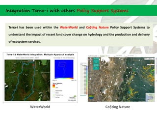

The document summarizes Terra-i, a system that uses MODIS satellite data and precipitation data to monitor habitat changes every 16 days at a 250m resolution. It can detect deforestation and has been used to track forest loss in regions like Latin America, Brazil, Peru, and Bolivia. Case studies show how Terra-i detected artisanal mining in Madre de Dios, Peru and forest disturbances in Honduras. Future applications include using the data to create deforestation scenarios and integrating it with other policy support systems to understand impacts on ecosystems. The document promotes Terra-i's website for exploring and visualizing the data.


