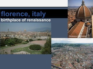
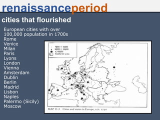
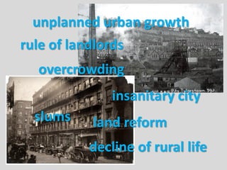
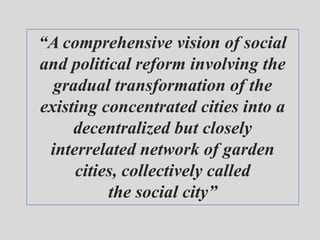
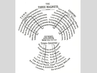
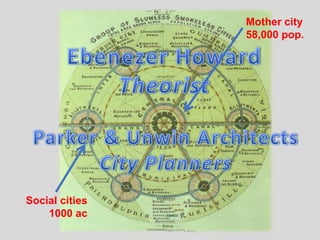
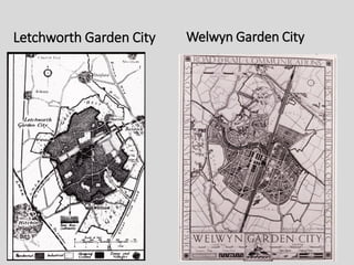
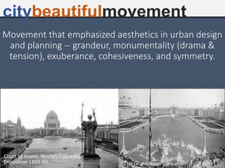
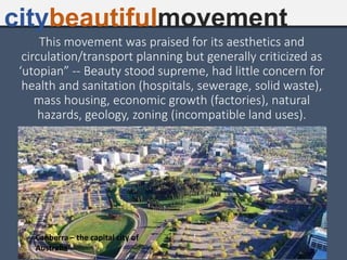
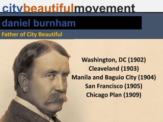
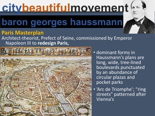
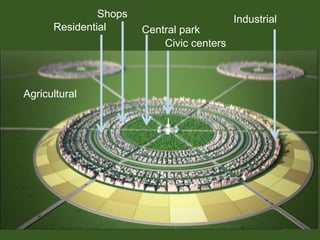
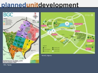
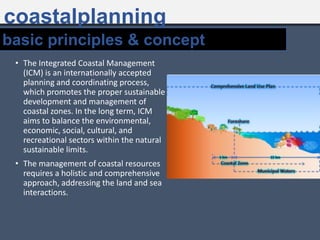
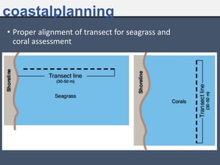
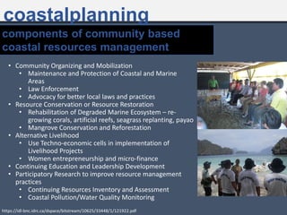
Urban and regional planning has evolved over time from ancient to modern eras. In ancient times, the first urban settlements emerged around 4000 BC along major river valleys and were characterized by large populations and monumental architecture. Many ancient cities practiced centralized planning. In medieval times, planning focused on fortifications and monasteries. The Renaissance period saw a rebirth of classical planning principles and emphasis on beautification of cities. The industrial revolution led to overcrowding and unsanitary conditions in cities. In response, planning movements emerged including the Garden City movement by Ebenezer Howard which advocated planned, self-contained communities surrounded by greenbelts. The City Beautiful movement emphasized grandeur and beautification of cities through axial


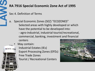

![LAWRA 7916 Special Economic Zone Act of 1995
Sec II. Philippine Economic Zone Authority (PEZA) Board
created attached to DTI
- from being Export Processing Zone Authority [EPZA]
of P.D. 66](https://image.slidesharecdn.com/1-230609133358-598a4893/85/1-Site-and-Area-Development-Planning-pdf-217-320.jpg)