1. Saint Joseph Institute of Technology
Butuan City
GRADUATE SCHOOL
EZRA M. AYADO
MA 108 – EducationTechnology
DR. LIZ IRISH NG VILLAMOR
Professor
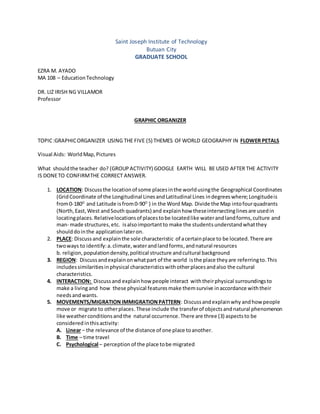
GRAPHIC ORGANIZER
TOPIC:GRAPHICORGANIZER USING THE FIVE (5) THEMES OFWORLD GEOGRAPHY IN FLOWER PETALS
Visual Aids: WorldMap,Pictures
What shouldthe teacher do? (GROUPACTIVITY) GOOGLE EARTH WILL BE USED AFTER THE ACTIVITY
IS DONETO CONFIRMTHE CORRECT ANSWER.
1. LOCATION: Discussthe locationof some placesinthe worldusingthe Geographical Coordinates
(GridCoordinate of the Longitudinal LinesandLatitudinal Lines indegreeswhere;Longitudeis
from0-180O
and Latitude isfrom0-90O
) in the Word Map. Divide the Map intofourquadrants
(North,East,West andSouth quadrants) and explainhow theseintersectinglinesare usedin
locatingplaces.Relativelocationsof placestobe locatedlike waterandlandforms,culture and
man- made structures,etc. isalsoimportantto make the studentsunderstandwhatthey
shoulddointhe applicationlateron.
2. PLACE: Discussand explainthe sole characteristic of acertainplace to be located.There are
twoways to identify:a.climate,waterandlandforms,andnatural resources
b. religion,populationdensity,political structure andcultural background
3. REGION: Discussandexplainonwhatpart of the world isthe place theyare referringto.This
includessimilaritiesinphysical characteristicswithotherplacesandalso the cultural
characteristics.
4. INTERACTION: Discussand explainhow people interact withtheirphysical surroundingsto
make a livingand how these physical featuresmake themsurvive inaccordance withtheir
needsandwants.
5. MOVEMENTS/MIGRATIONIMMIGRATIONPATTERN: Discussandexplainwhy andhow people
move or migrate to otherplaces. These include the transferof objectsandnatural phenomenon
like weatherconditionsandthe natural occurrence.There are three (3) aspectsto be
considered inthisactivity:
A. Linear – the relevance of the distance of one place toanother.
B. Time – time travel
C. Psychological – perception of the place tobe migrated
2. Example of the discussion are asfollows:
1. The PhilippinesislocatedatLongitude: 117O
01’33.37” – 126O
17’24.05” East; Latitude:,
3O
23’08” – 20O
19’.09” Northand is locatedinthe Tropical Region.
2. The Philippines ‘location:inthe NorthisJapan,Westis the WestPhilippine Sea,Eastisthe
PacificOceanand onthe Southisthe Bashi Channel.The Philippinesisanarchipelago
comprising of more than 7,100 islandsandislets.
3. Fishingisthe active livelihoodof the Filipinoslivinginthe coastal areasof the countrylike any
othercountriesinthe worldwhich have similargeographicallocation.
4. The Philippineshas millionsof OFWsworldwidetherebycausingbrainandbrawndraininthe
countrythat greatly affected itseconomicgrowth.
5. The Philippinesisamemberof the Associationof SoutheastAsianNations(ASEAN).
6. The growingpopulationinthe NCRgiveswaytothe growingproblems of the regionlike traffic,
pollution, andcrimes of all sort.
After the discussion,the classwill be grouped ( 10 memberspergroup).
Let themidentifythe place theyare goingtodiscussinthe class usingthe flowergraphicorganizer.Let
themdiscussthe five (5) aspects/petalsinthe class. Picturesshouldbe incorporatedtoeachof the
petalsforemphasis.
Each group will answerthe followingquestions:
1. Why didyouchoose thiscountry?Give your ownreactioninaccordance to the five themes.
2. Why dothese five themesare relatedtothe studyof the physical characteristicsof said
country?
3. How dothese five themeshelp inunderstanding the geographyof the country?
1. Location
2. Place 3. Region
4.
Interaction
5.
Movements /
Migration
Immigration
Chosen Country
(Paste the flag of
the country you
have chosen here.)
3. Assignment:
1. Locate yourhouse usingGoogle Earth.Give the geographical coordinatesuptothe last
milliseconds.
2. Give landmarks,signage andotherdistinguishable signs thatwill identifyyourhouse.
(Note:If the informationisaccurate,thiswill be usedbythe teacherinlocatingthe house of the
student if he/she becomesaproblemstudentinthe class due to misbehavior,absenteeismandthe
like .)
.