Mapping Boston's public space with 75,000 Instagrams
•
1 like•1,059 views

Presented at Esri's GeoDev Meetup in Boston, 2014

Recommended
Recommended
More Related Content
Similar to Mapping Boston's public space with 75,000 Instagrams
Similar to Mapping Boston's public space with 75,000 Instagrams (20)
Recently uploaded
Recently uploaded (20)
Mapping Boston's public space with 75,000 Instagrams
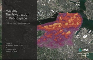
- 1. Mapping The Privatization of Public Space Evidence from 75,000 Instagrams Yunjie Li MDesS 16’, Harvard Univ + Chaewon Ahn SMarch 15’, MIT GeoDev Meettup Boston 2014
- 2. What does Boston’s public space look like?
- 3. SOCIAL SPACE PUBLIC SPACE . . . privately owned public space . . . privatized public space ////////////////////////////////////////// Private space virtual space (webpages, apps...) ////////////////////////////////////////// PUBLIC REALM connection of people Face to face interaction virtual connections (friend, follows, ...) Term Definition Third space First space Second space
- 4. 2005Boston Land Use ’71 ’85 ’99 ’05
- 5. A re-categorization Land Use Code of Boston, 2005
- 6. Evidence from social media Legend Kernel density of posts Percentile Top 10% 10-20% 20-40% 40-60% 60-80% 80-100% CENSUS BLOCKS ´ 0 0.5 10.25 Miles Geo-tagged Instagrams Cases of Public Space Kernel density map of Instagram posting locations
- 8. “Privatization” of land use? 24-Hour Volume Study Open social Conditional social Private social 1 Boston Common 2 Copley Square 3 Newbury Street 4 Charles Street 5 Prudential Center 6 Faneuil Hall 7 Government Center 8 South Station 9 Beach St, Chinatown
- 9. City highlights: from open gardens to commercial & recreational Image of The City Kevin Lynch, 1960 Remapped Boston 27,392 Instagramers, 2014