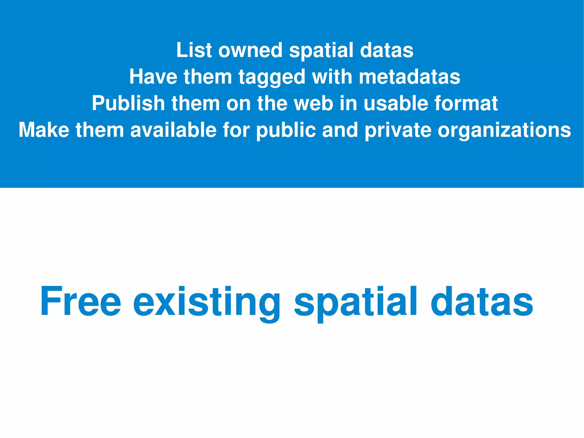
Inspire Directive for Dummies Source: F. Merrien & M. Léobet « La directive Inspire pour les néophytes 
ORIGINS Source flickr  creative commons sebastian bergmann
No standards Data missing Different approaches Fragmentation Lack of coordination Different technologies European Commission Issues  integrating spatial & environmental data Source flickr  creative commons  vlastula
What about creating a european legislative instrument ? Source flickr creative commons
In frastructure for  Sp atial  I nfo r mation in the   E uropean Community   Framework of rules and standards governing the creation, maintenance and distribution of spatial data. '' ''
WHOSE CONCERN ? Source flickr creative commons Okko Pyykkö srr Any government or other public administration, including public advisory bodies, at national, regional or local level
Aiming Availability Quality Interoperability Sharing Newservices Source flickr creative commons photographix.ca
WHAT ARE  THE NEW RULES ? Source flickr creative commons kapungo
List owned spatial datas Have them tagged with metadatas Publish them on the web in usable format Make them available for public and private organizations Free existing spatial datas
Make Data Mashable Identify  - geocatalog Access - geoportal Combine   - geoservices Source flickr creative commons
What data are we talking about Source flickr creative commons  nomaan
ANY   SPATIAL DATA   Demography Transport Environment Buildings Source flickr creative commons respres
Annex 1:  Coordinate reference systems Transport networks Hydrography Protected sites Administrative units Geographical names Geographical grid systems Annex 2 : Public land registry Identifiers of properties Elevation Land cover Orthoimagery Annex 3:  Species distribution Habitats and biotopes Bio-geographical regions Sea regions Oceanographic geographical features Meteorological geographical features Atmospheric condiitions Natural risk zones Area management/restriction/regulation zones & reporting units Population distribution – demography Agricultural and aquaculture facilities Production and industrial facilities Government service and environmental monitoring facilities Human health and safety Land use Geology Soil Buildings Source flickr  creative commons buggolo
Why spread the datas ? Source flickr creative commons
Generate Innovation New services Mashups Values Transparency Interaction Participation Source flickr creative commons
CALENDAR Source flickr creative commons chris campbell
2007  2010  2011  2013  2014  2016  2019  EU Directive French implementation Annex  I & II metadata Annex III metadata Newly collected Annex II & III data conforms to IR All existing Annex I data conforms to IR Infrastructure  fully in place All existing Annex II & III data conforms to IR Implementing rules adopted (monitoring, reporting, discovery & view) Implementing rules adopted (data & service sharing) Implementing rules adopted (Annex I) Implementing rules adopted (Annex II & III) Newly collected Annex I data conforms to IR Implementing INSPIRE Directive
COSTS & BENEFITS Source flickr creative common argentickr.comphotoscobalt1308955915
Catalonia Case Study Cost: 1,5 Millions over 4 years FEDER program can help ROI:  within 6 months - 2,6 Millions € saved each year - + 17% Turnover  in 2 years for private businesses Source Wikipedia
Inspire Directive for Dummies Download further informations
READY TO TAKE OFF Source flickr  creative commons  vyxle

Inspire For Dummies

  • 1.
    Inspire Directive forDummies Source: F. Merrien & M. Léobet « La directive Inspire pour les néophytes 
  • 2.
    ORIGINS Source flickr creative commons sebastian bergmann
  • 3.
    No standards Datamissing Different approaches Fragmentation Lack of coordination Different technologies European Commission Issues integrating spatial & environmental data Source flickr creative commons vlastula
  • 4.
    What about creatinga european legislative instrument ? Source flickr creative commons
  • 5.
    In frastructure for Sp atial I nfo r mation in the E uropean Community Framework of rules and standards governing the creation, maintenance and distribution of spatial data. '' ''
  • 6.
    WHOSE CONCERN ?Source flickr creative commons Okko Pyykkö srr Any government or other public administration, including public advisory bodies, at national, regional or local level
  • 7.
    Aiming Availability QualityInteroperability Sharing Newservices Source flickr creative commons photographix.ca
  • 8.
    WHAT ARE THE NEW RULES ? Source flickr creative commons kapungo
  • 9.
    List owned spatialdatas Have them tagged with metadatas Publish them on the web in usable format Make them available for public and private organizations Free existing spatial datas
  • 10.
    Make Data MashableIdentify - geocatalog Access - geoportal Combine - geoservices Source flickr creative commons
  • 11.
    What data arewe talking about Source flickr creative commons nomaan
  • 12.
    ANY SPATIAL DATA Demography Transport Environment Buildings Source flickr creative commons respres
  • 13.
    Annex 1: Coordinate reference systems Transport networks Hydrography Protected sites Administrative units Geographical names Geographical grid systems Annex 2 : Public land registry Identifiers of properties Elevation Land cover Orthoimagery Annex 3: Species distribution Habitats and biotopes Bio-geographical regions Sea regions Oceanographic geographical features Meteorological geographical features Atmospheric condiitions Natural risk zones Area management/restriction/regulation zones & reporting units Population distribution – demography Agricultural and aquaculture facilities Production and industrial facilities Government service and environmental monitoring facilities Human health and safety Land use Geology Soil Buildings Source flickr creative commons buggolo
  • 14.
    Why spread thedatas ? Source flickr creative commons
  • 15.
    Generate Innovation Newservices Mashups Values Transparency Interaction Participation Source flickr creative commons
  • 16.
    CALENDAR Source flickrcreative commons chris campbell
  • 17.
    2007 2010 2011 2013 2014 2016 2019 EU Directive French implementation Annex I & II metadata Annex III metadata Newly collected Annex II & III data conforms to IR All existing Annex I data conforms to IR Infrastructure fully in place All existing Annex II & III data conforms to IR Implementing rules adopted (monitoring, reporting, discovery & view) Implementing rules adopted (data & service sharing) Implementing rules adopted (Annex I) Implementing rules adopted (Annex II & III) Newly collected Annex I data conforms to IR Implementing INSPIRE Directive
  • 18.
    COSTS & BENEFITSSource flickr creative common argentickr.comphotoscobalt1308955915
  • 19.
    Catalonia Case StudyCost: 1,5 Millions over 4 years FEDER program can help ROI: within 6 months - 2,6 Millions € saved each year - + 17% Turnover in 2 years for private businesses Source Wikipedia
  • 20.
    Inspire Directive forDummies Download further informations
  • 21.
    READY TO TAKEOFF Source flickr creative commons vyxle