Downloaded 23 times
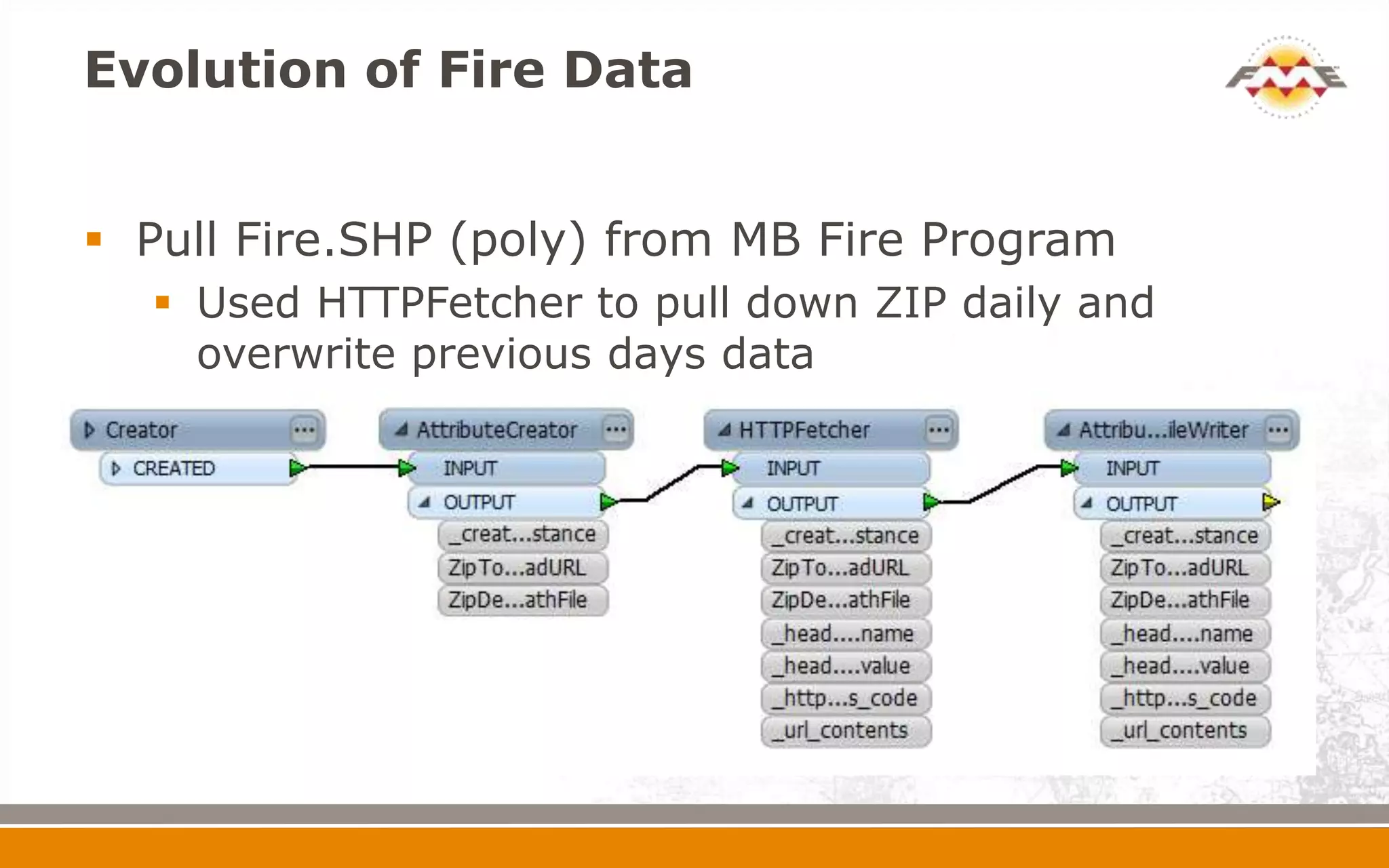
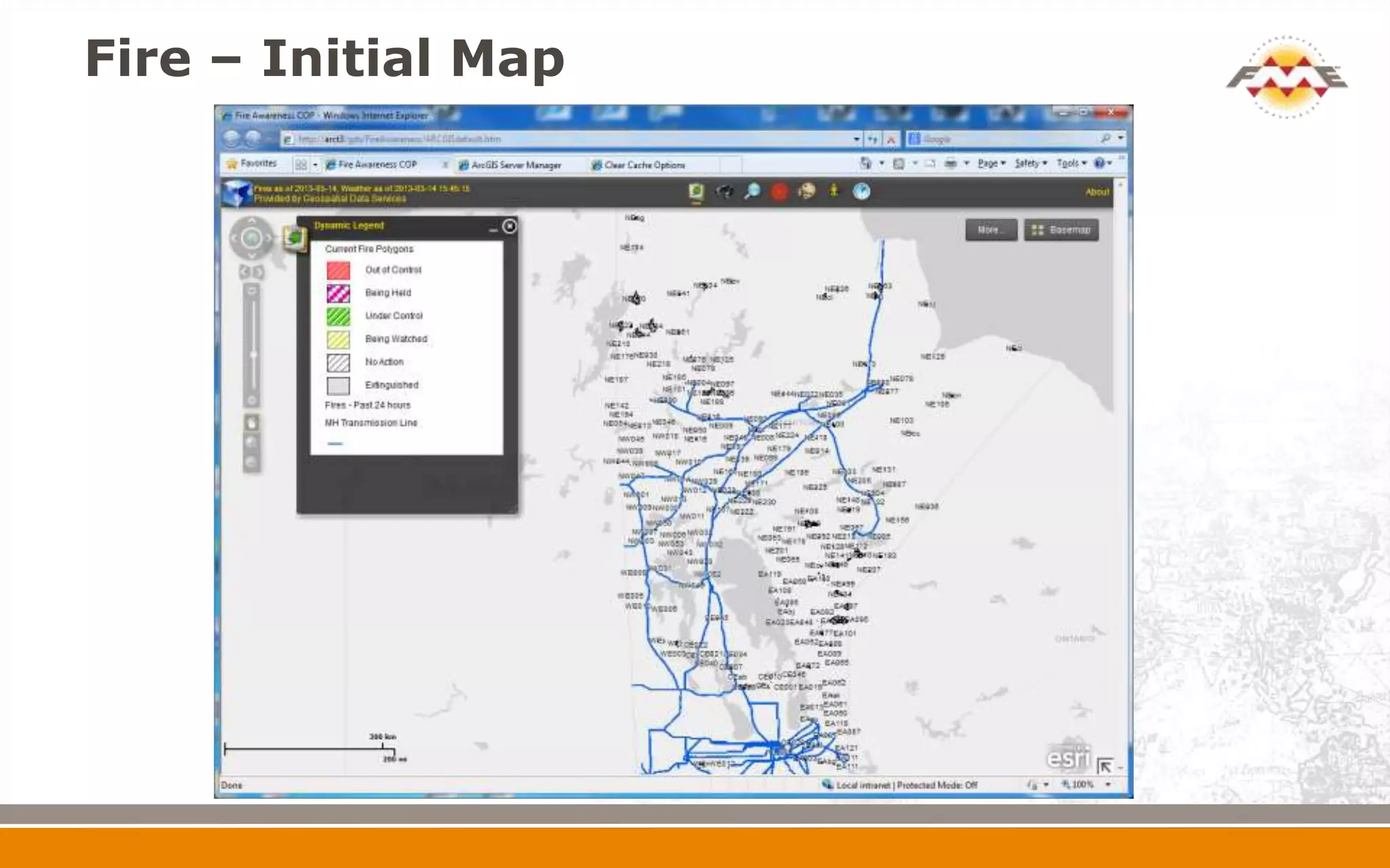
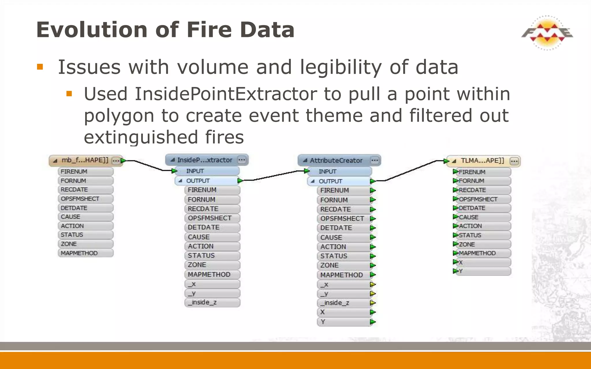
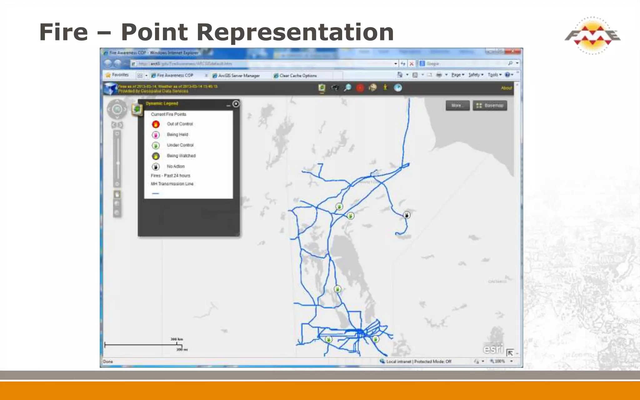
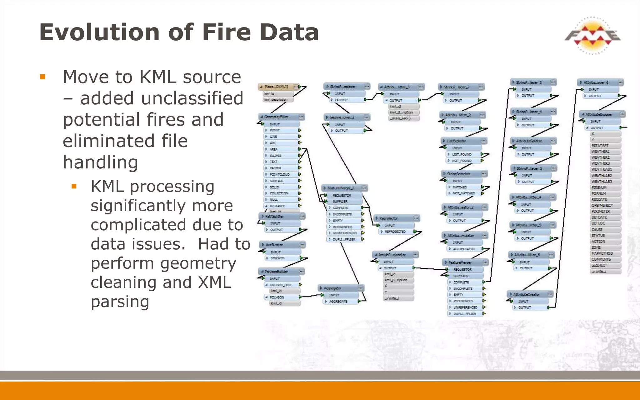
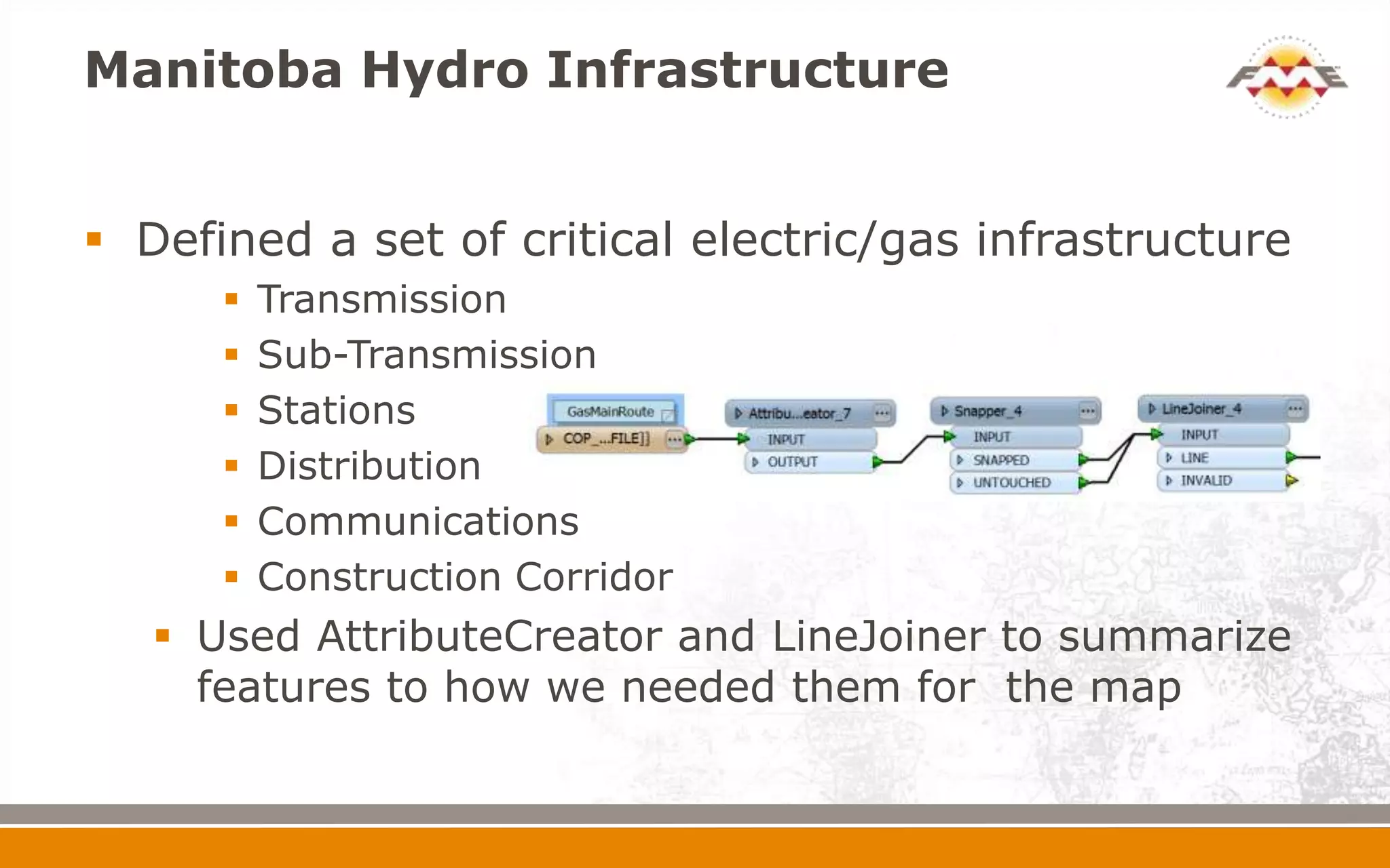
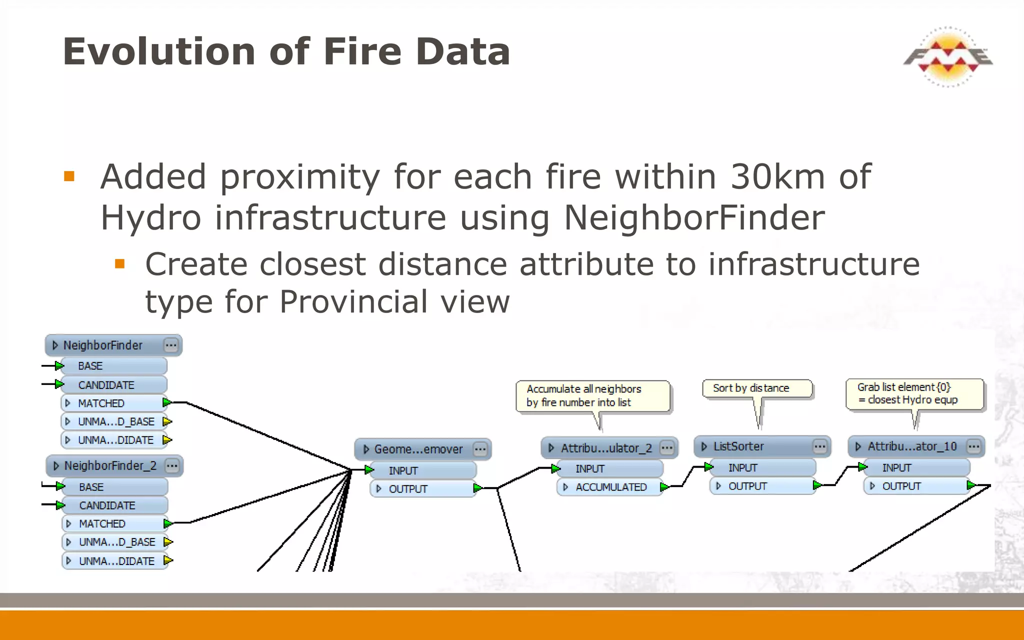
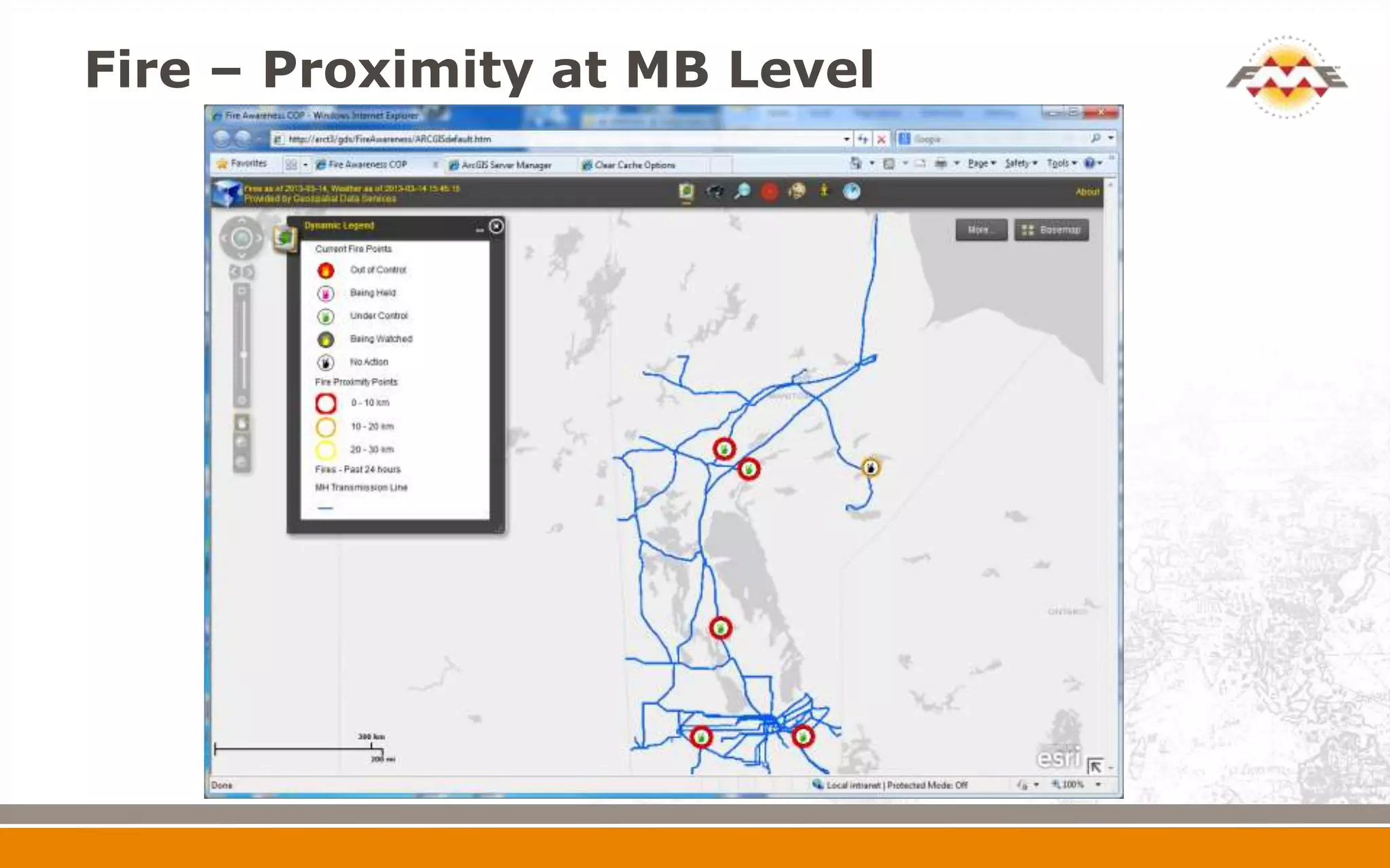
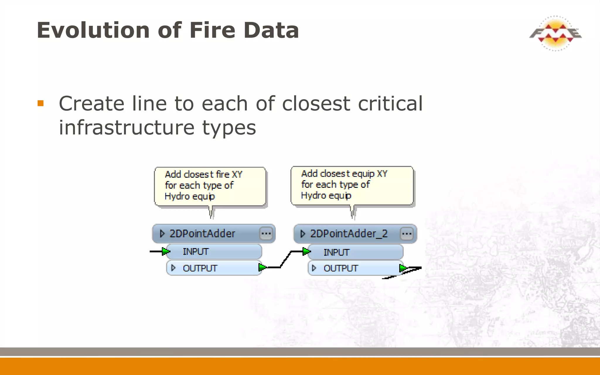
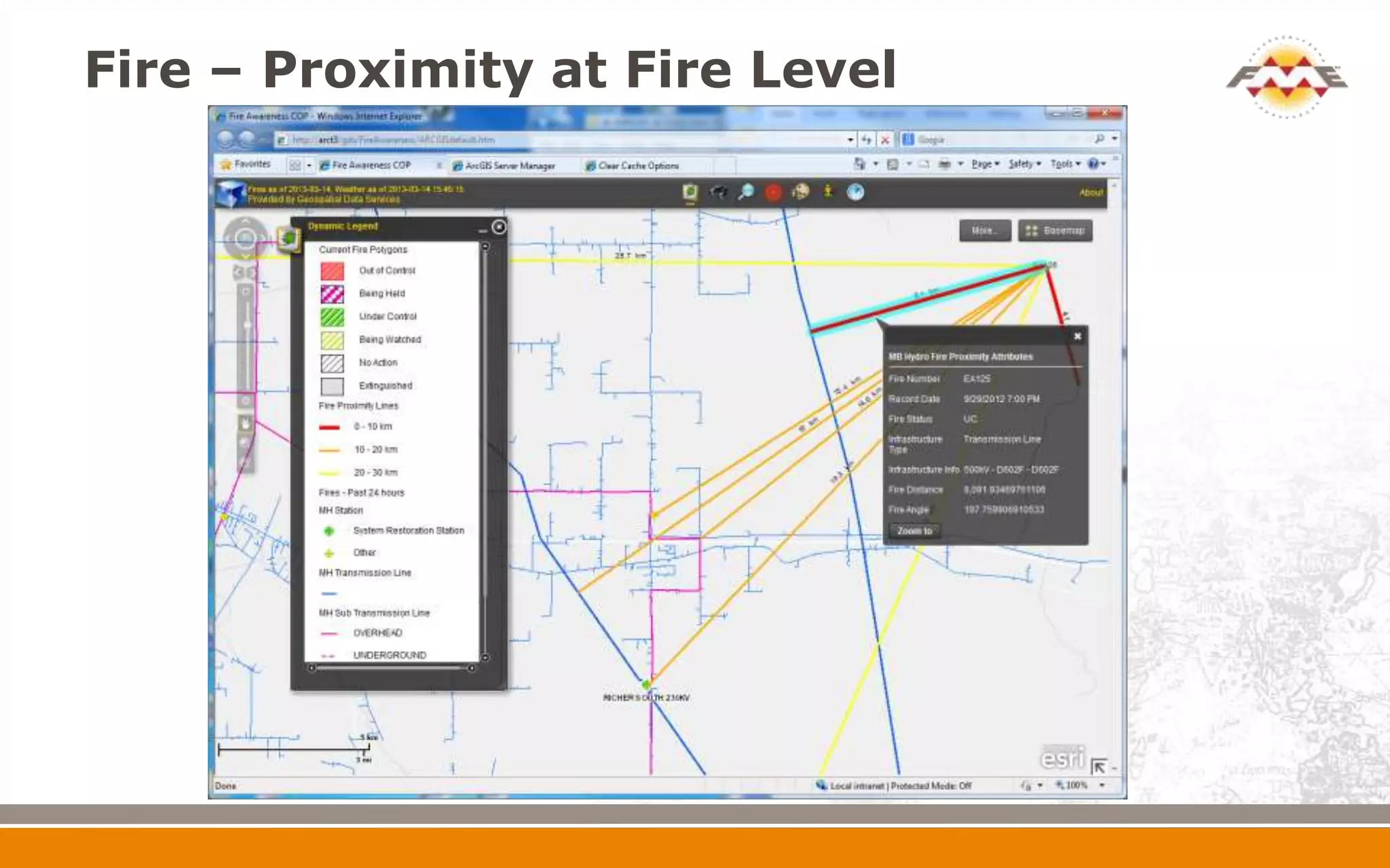
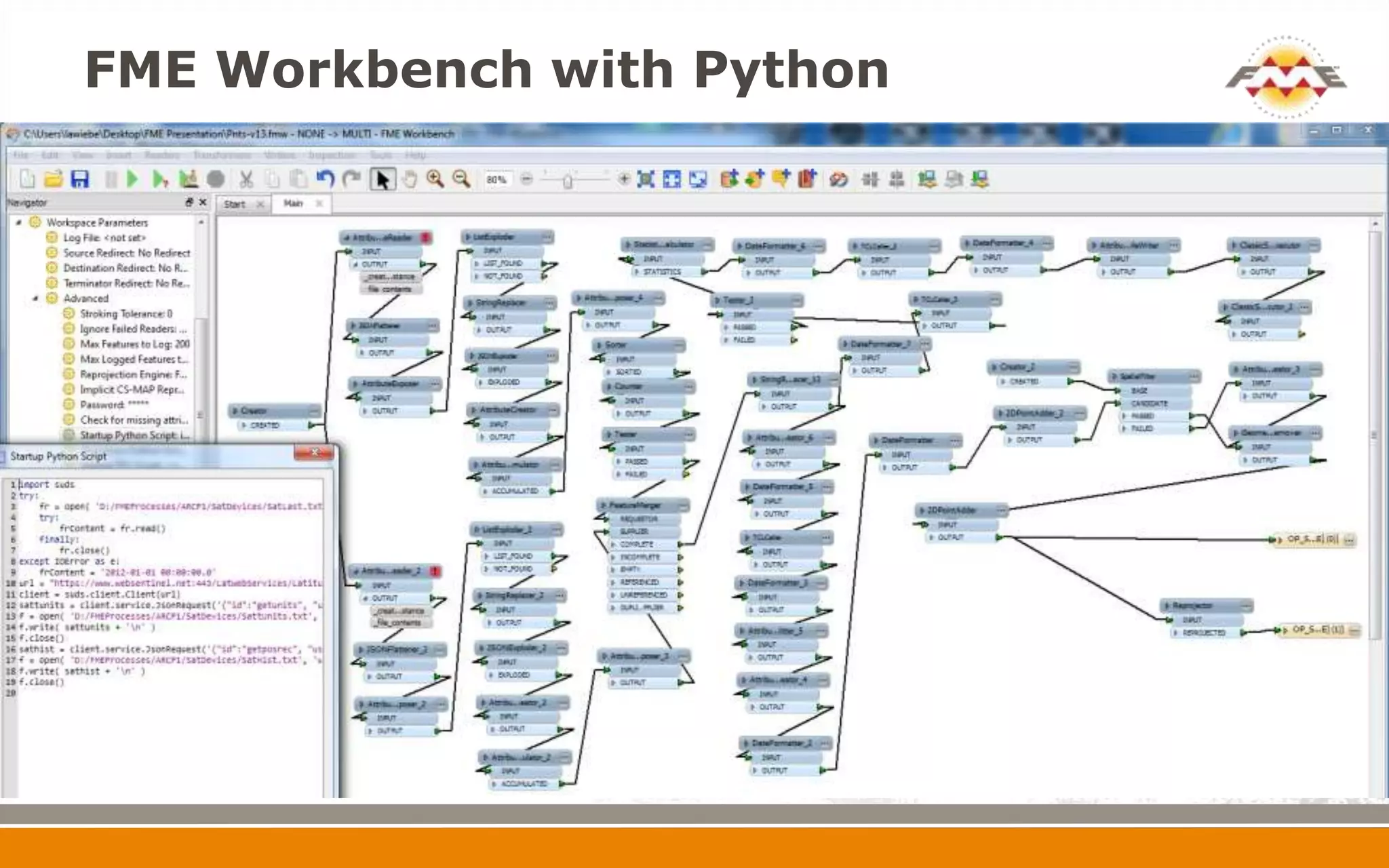
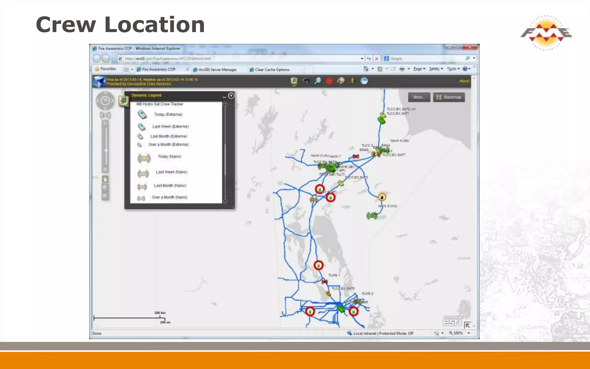
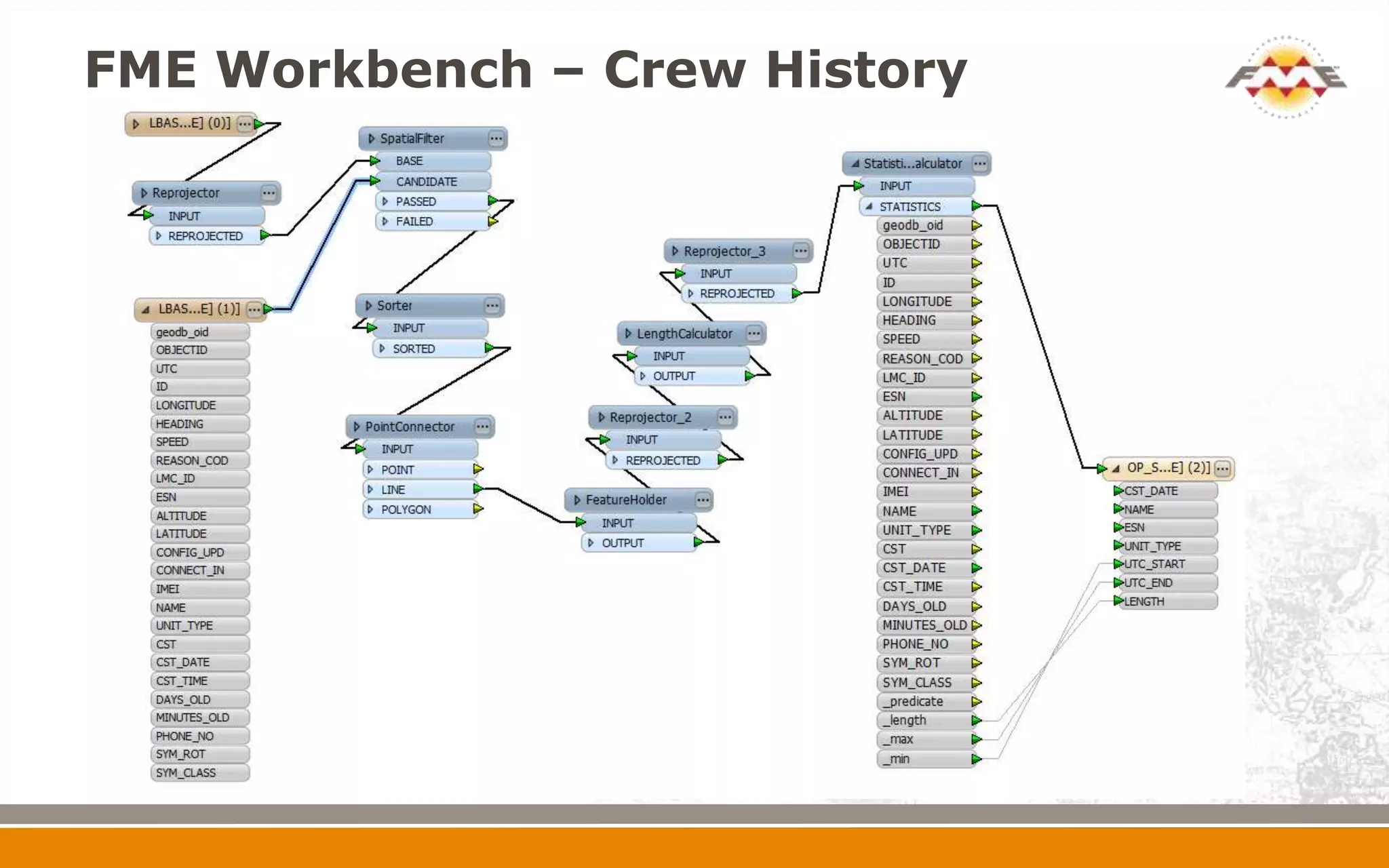
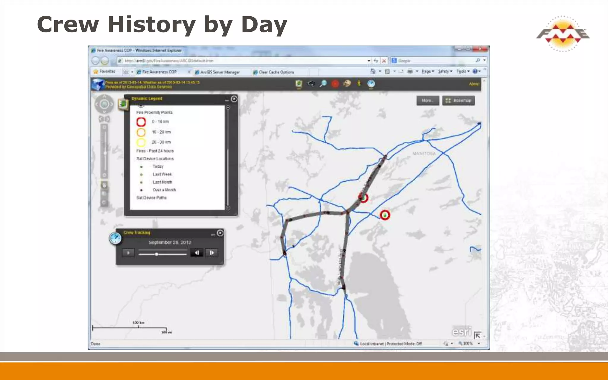

This document describes the evolution of Manitoba Hydro's fire proximity awareness system using geospatial data and FME. It summarizes how fire data was initially pulled from shapefiles then points to improve legibility. Weather and infrastructure data were also incorporated. FME was used to process the data, calculate proximity of fires to infrastructure, and track crew locations over time in response to fires. The system provides near real-time awareness of fire and weather conditions to help monitor risks to Manitoba Hydro assets and operations.


![FINAL [Autosaved]](https://cdn.slidesharecdn.com/ss_thumbnails/b9a0b6eb-416f-414c-9394-4d82d722293a-160830224353-thumbnail.jpg?width=640&height=640&fit=bounds)


![Coded Agents – with UiPath SDK + LangGraph [Virtual Hands-on Workshop]](https://cdn.slidesharecdn.com/ss_thumbnails/codedagentsdeck-251215155422-5497c599-thumbnail.jpg?width=640&height=640&fit=bounds)


