Download to read offline
![The “[...] usage of geographical techniques
and tools used for personal and
community activities or for utilization by a
non-expert group of users”
Source:
http://en.wikipedia.org/wiki/Neogeography
NEO-GEOGRAPHY?
The “[...] usage of geographical techniques
and tools used for personal and
community activities or for utilization by a
non-expert group of users”
Source:
http://en.wikipedia.org/wiki/Neogeography](https://image.slidesharecdn.com/crcsisoapboxsdi2-0-101122225402-phpapp01/75/CRC-SI-Soapbox-Presentation-on-SDI-2-0-7-2048.jpg)


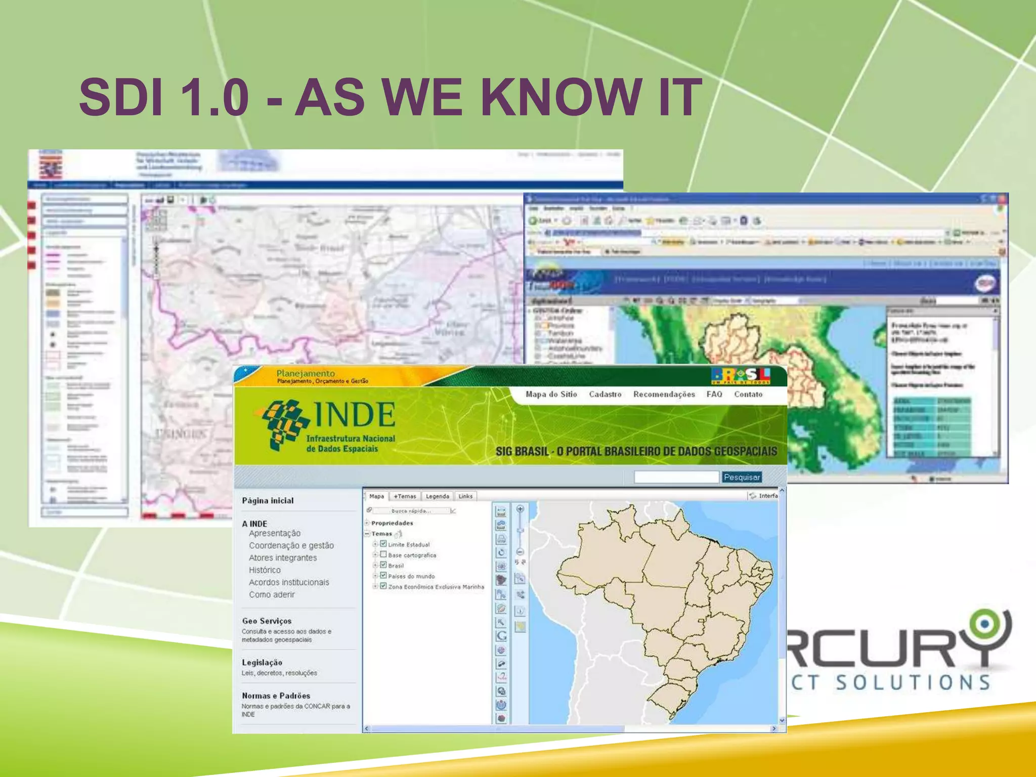
The document discusses the evolution of Spatial Data Infrastructure (SDI) from its 1.0 version, which was expensive and inefficient, to the more collaborative and user-driven 2.0 model influenced by web 2.0 and neogeography. It highlights the importance of crowd sourcing, user-generated content, and decentralized authority in the new model, as well as the challenges posed to traditional government roles. The author emphasizes the need to adapt to these changes in order to effectively leverage the wealth of geodata available.


![Coded Agents – with UiPath SDK + LangGraph [Virtual Hands-on Workshop]](https://cdn.slidesharecdn.com/ss_thumbnails/codedagentsdeck-251215155422-5497c599-thumbnail.jpg?width=640&height=640&fit=bounds)


