Downloaded 1,420 times

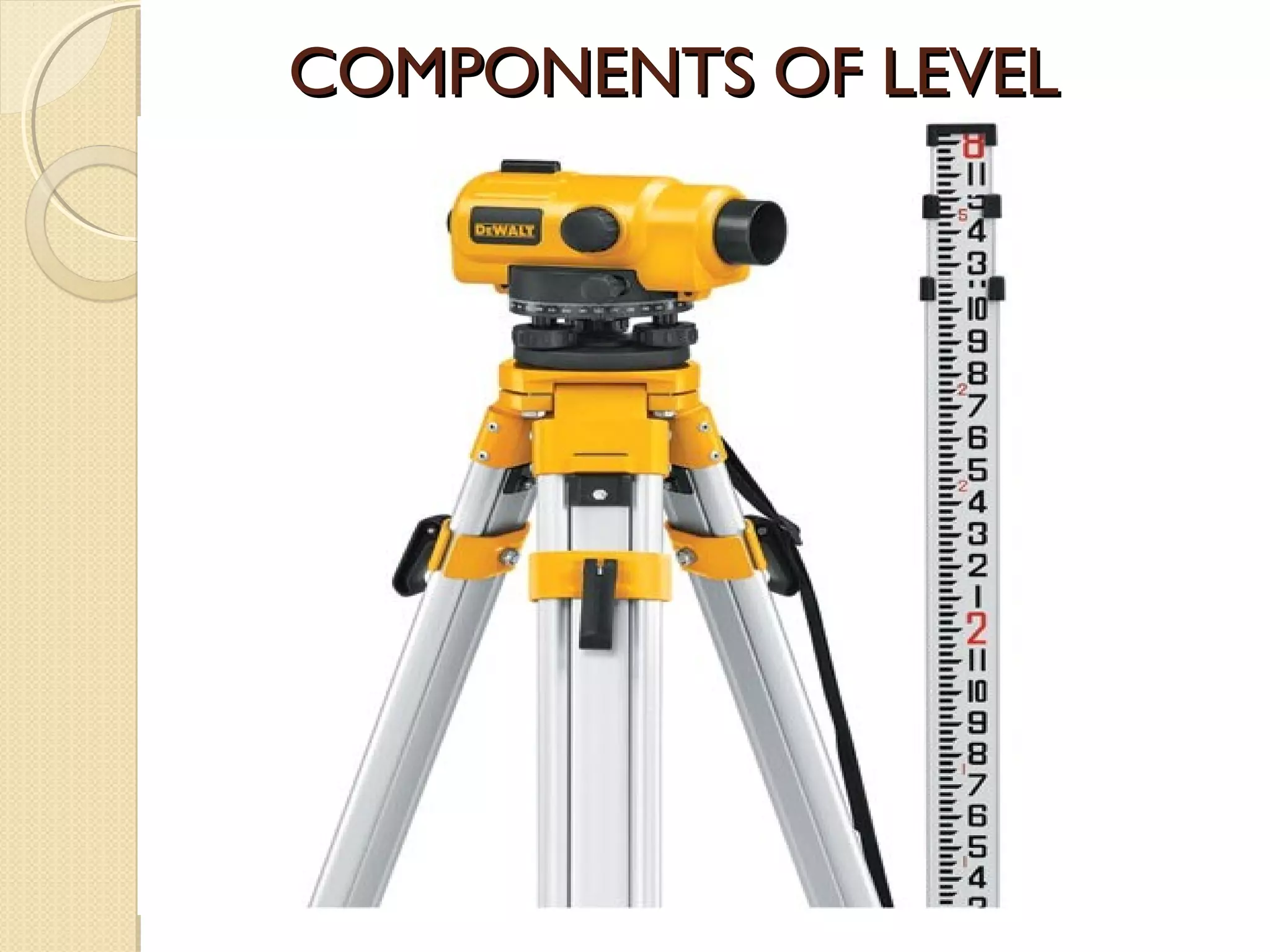


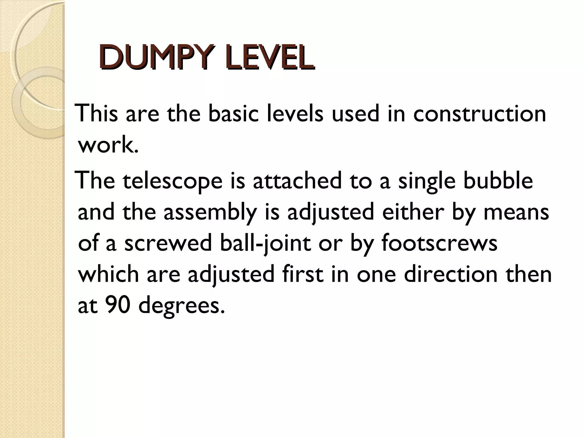
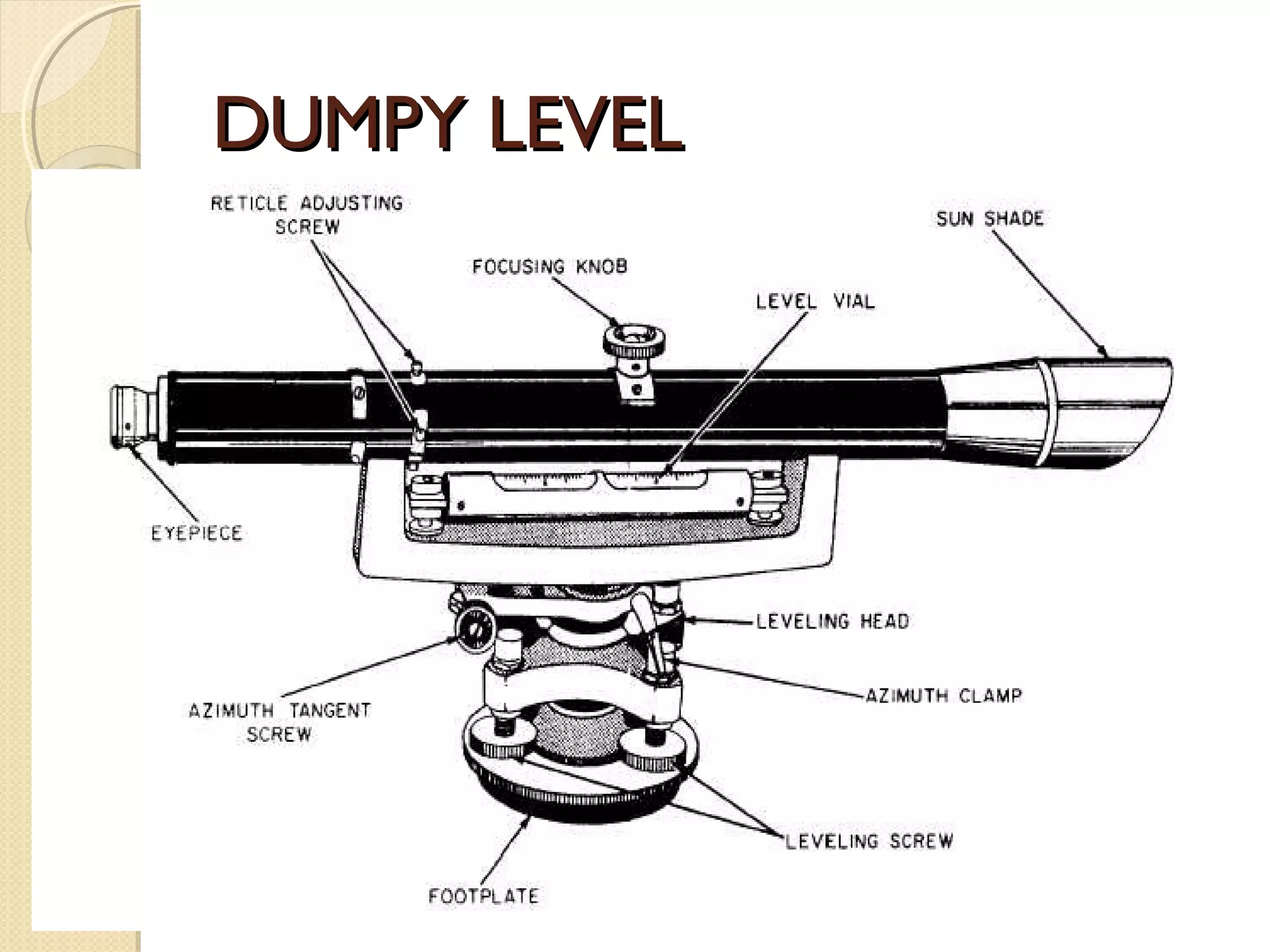
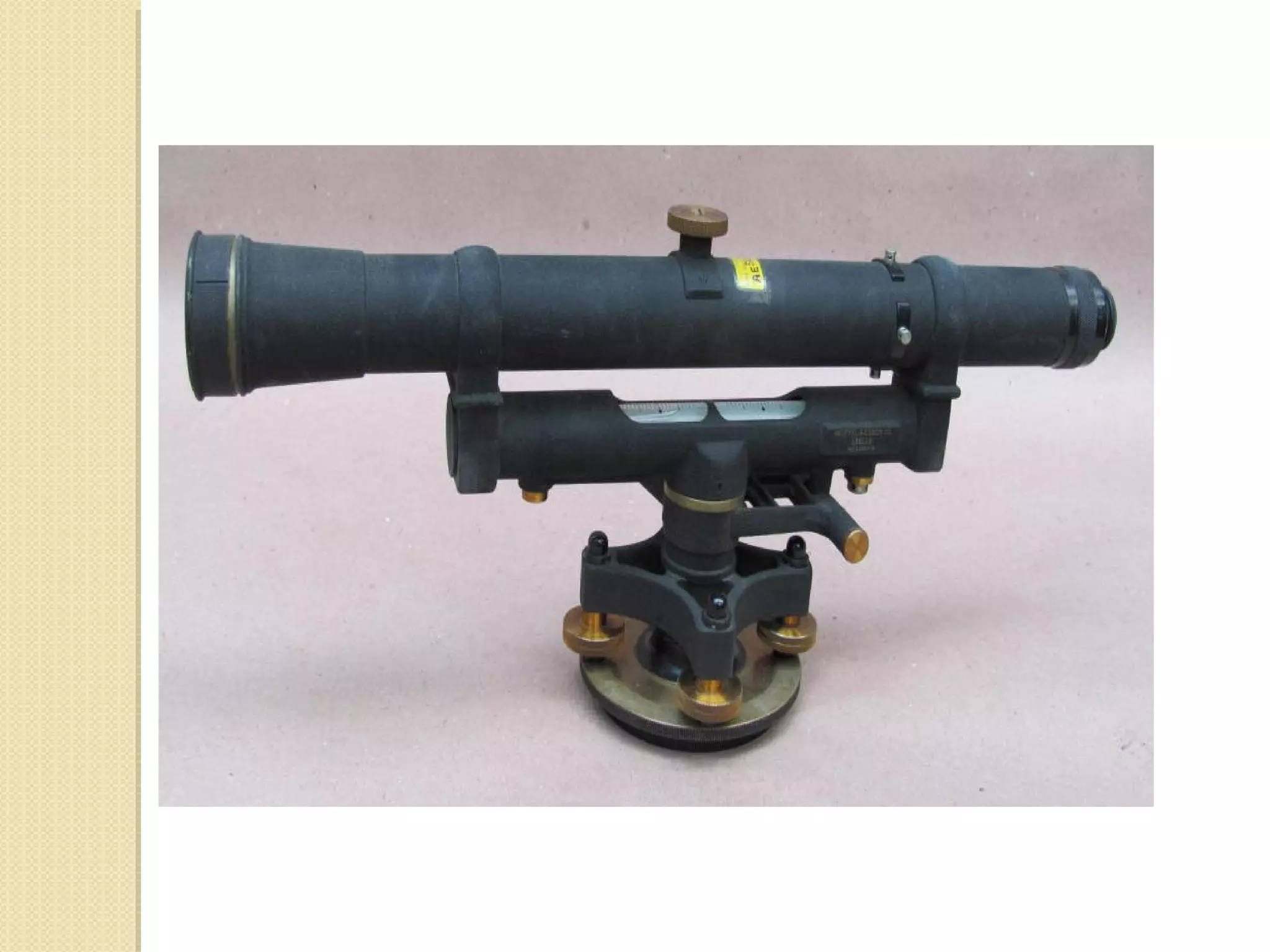
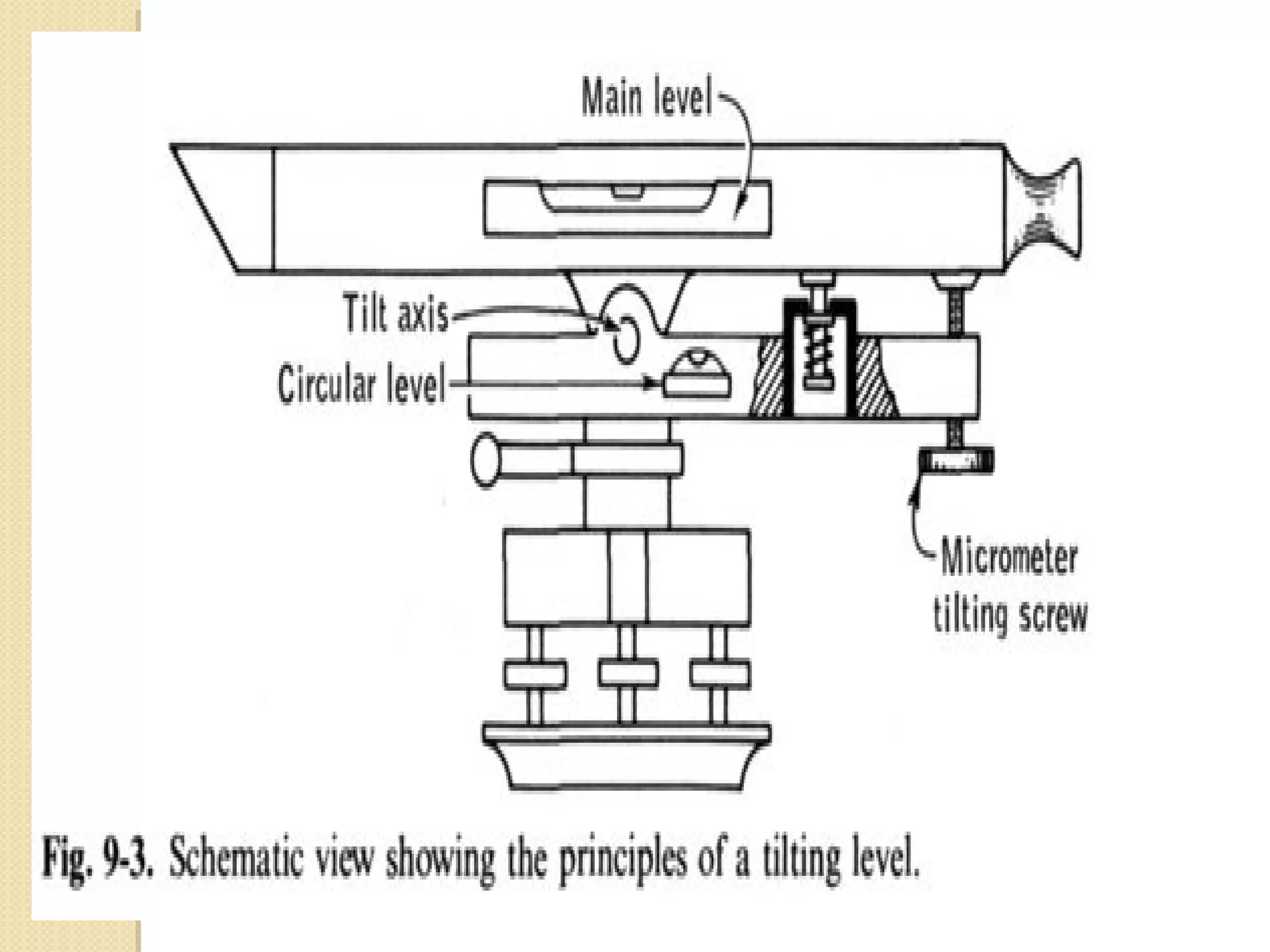


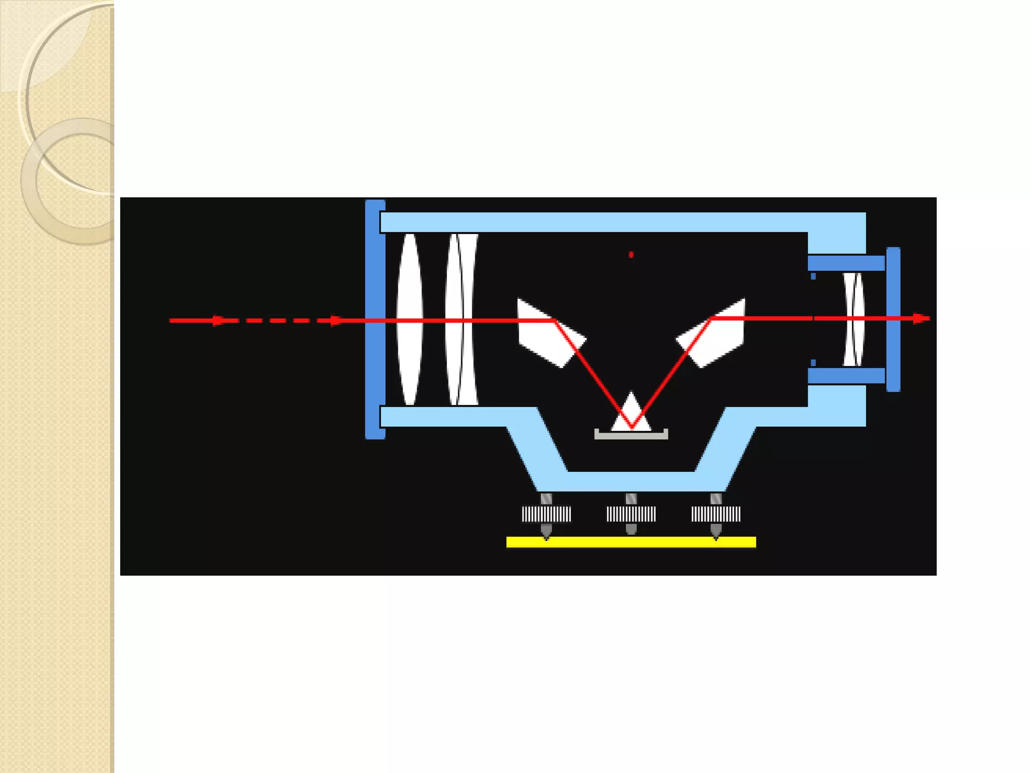

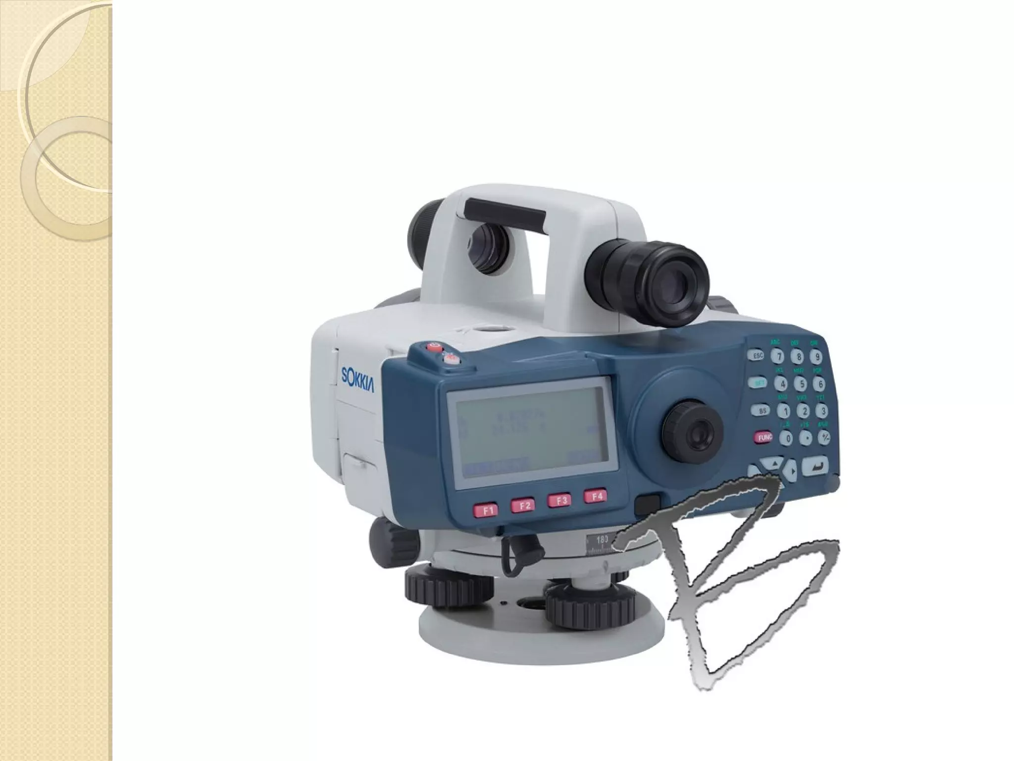


This document discusses different types of levels used in surveying and engineering projects. It describes dumpy levels, tilting levels, automatic levels, and digital levels. Dumpy levels have a rigidly fixed telescope but are simple and stable. Tilting levels allow the telescope to be tilted for precise work. Automatic levels have a compensator to keep the line of sight horizontal. Digital levels determine heights and distances digitally with high accuracy up to 100 meters. Leveling is important for engineering projects to determine relative elevations of points.


