Download to read offline

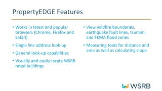
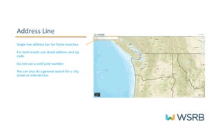
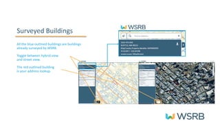
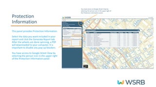
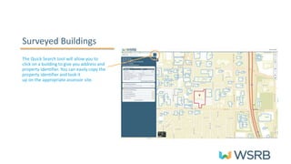
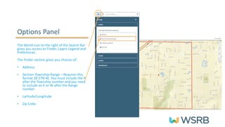
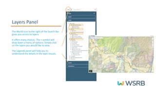
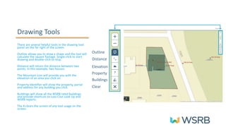
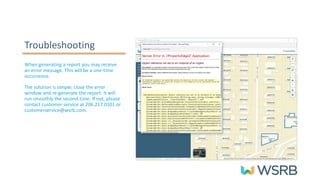

The PropertyEdge Quick Reference Guide details features for using the platform, including address look-ups, access to wildfire boundaries and flood zones, and measuring tools for distance and area. Users can generate reports with selected data and access Google Street View through the protection information panel. Troubleshooting tips are provided for report generation errors, with customer service contact information included for further assistance.


