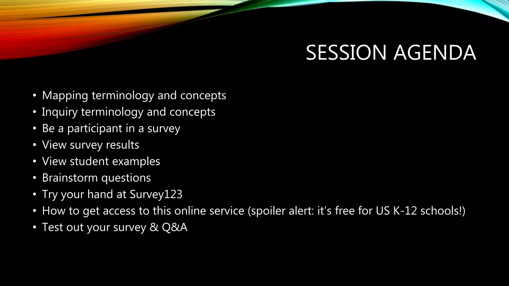
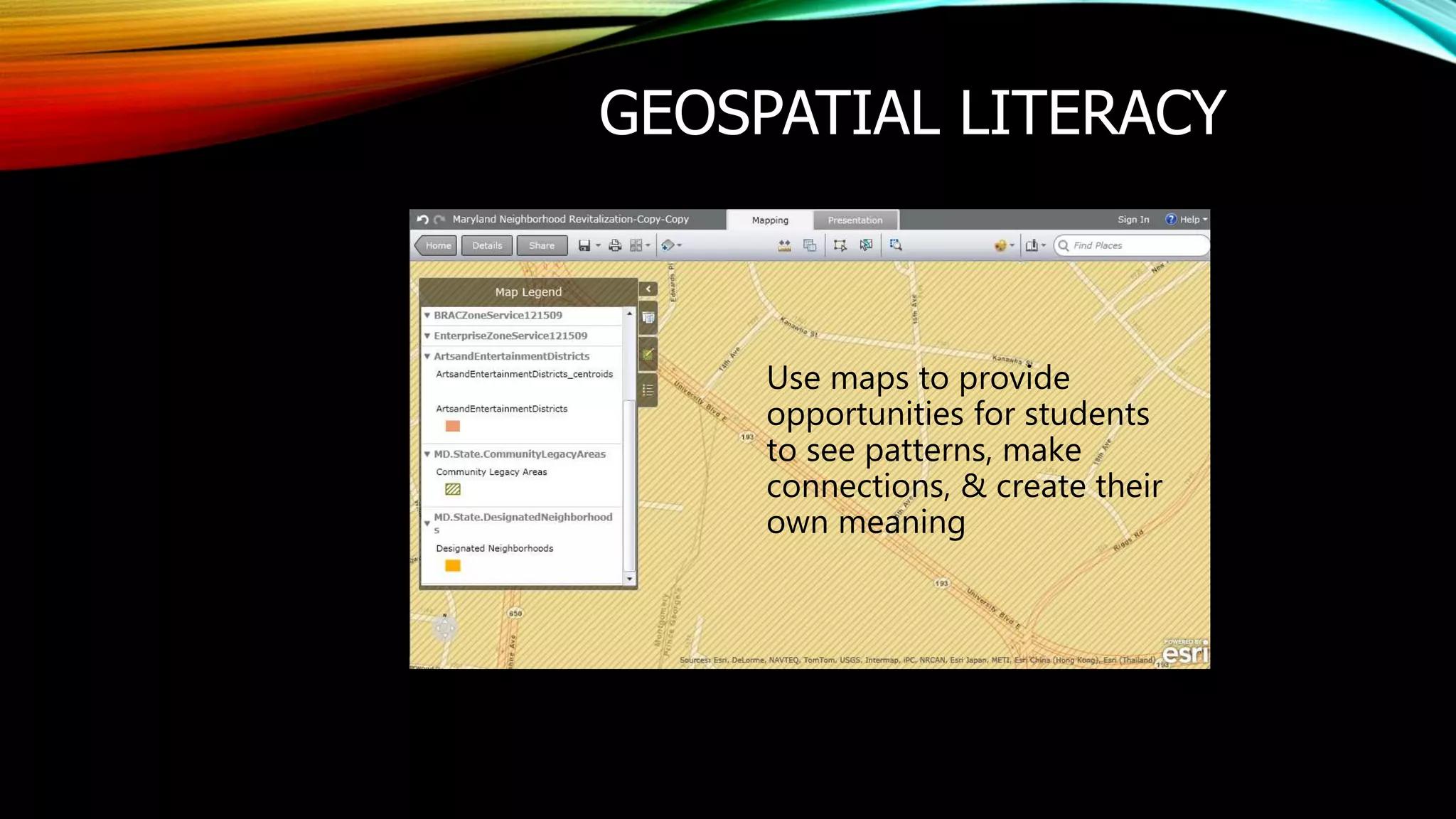
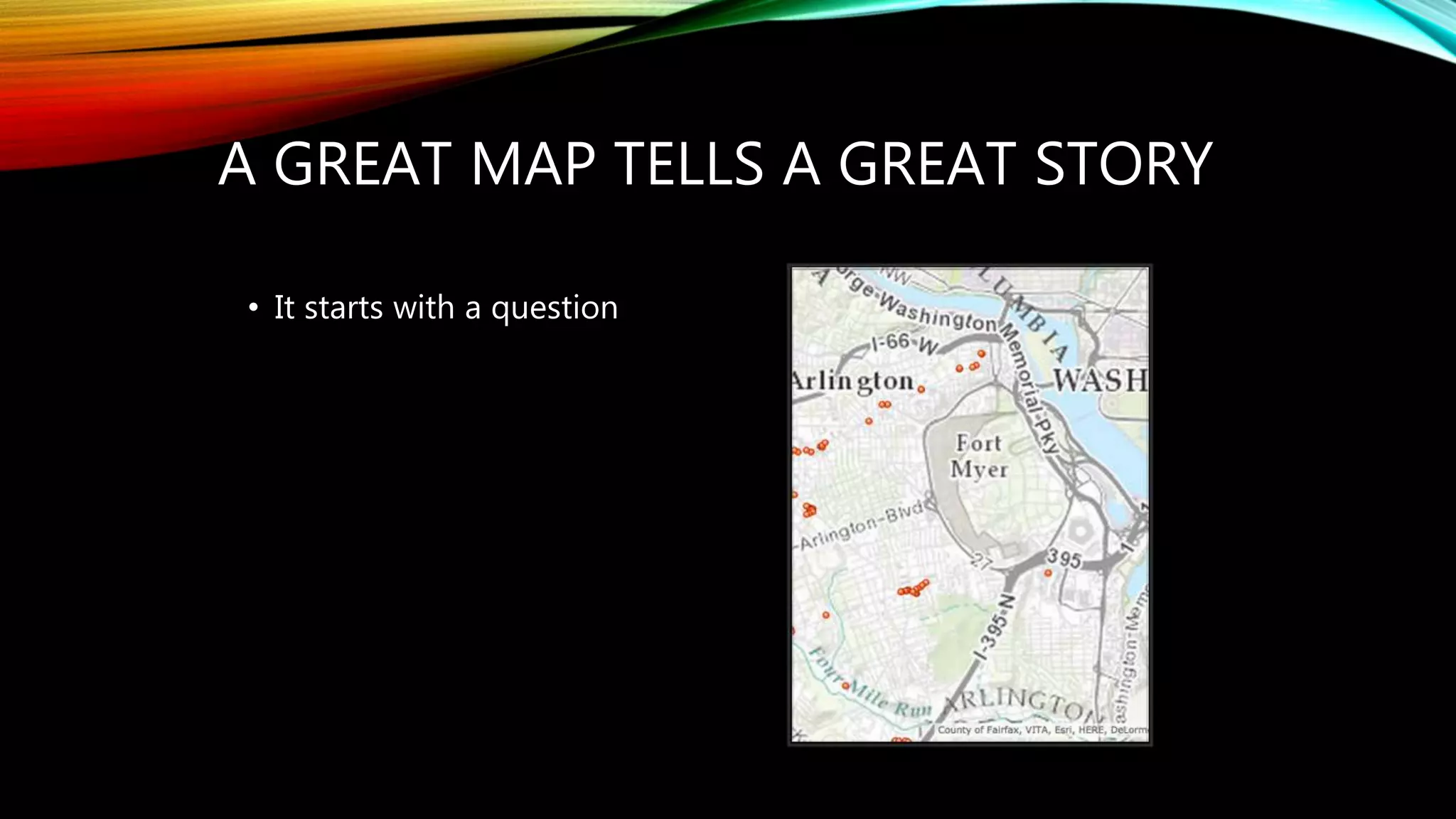
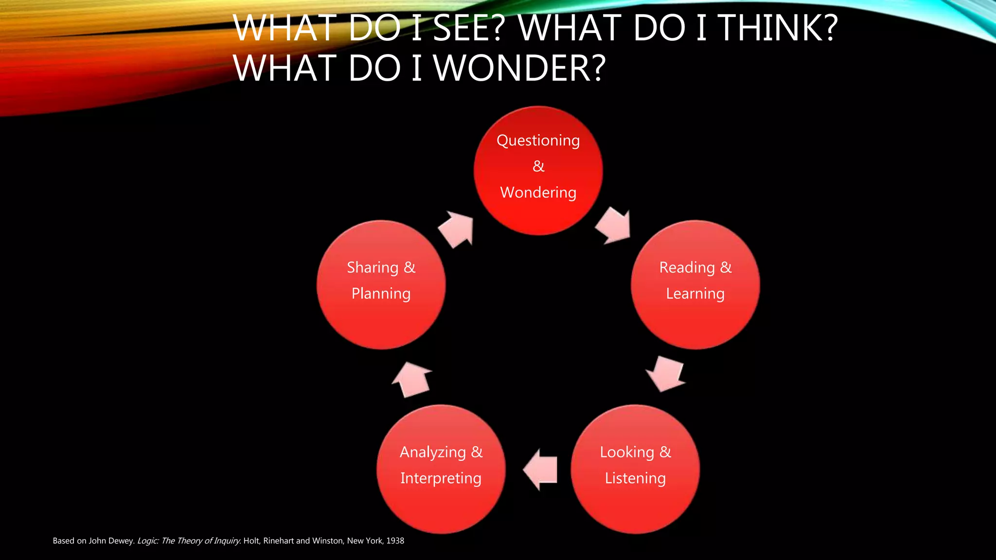
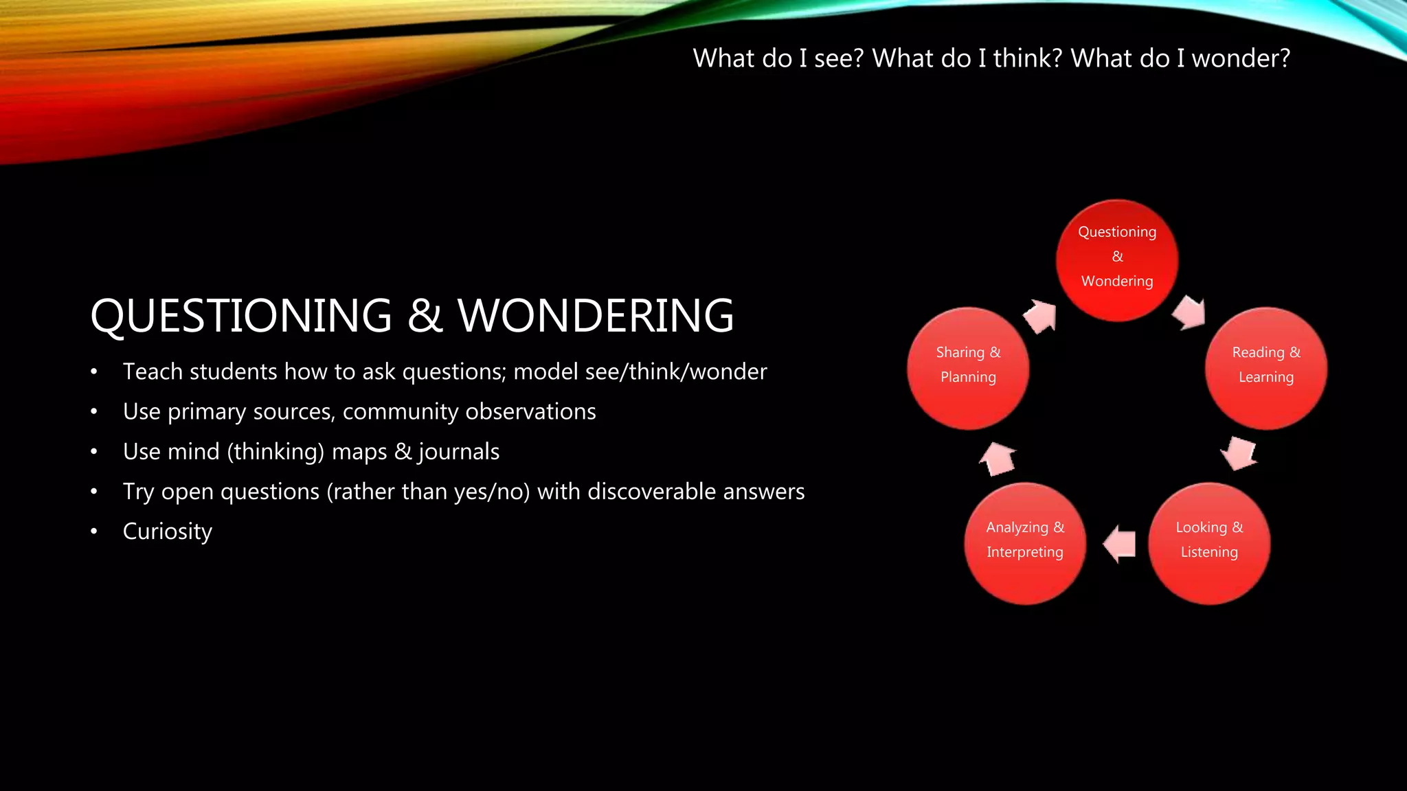
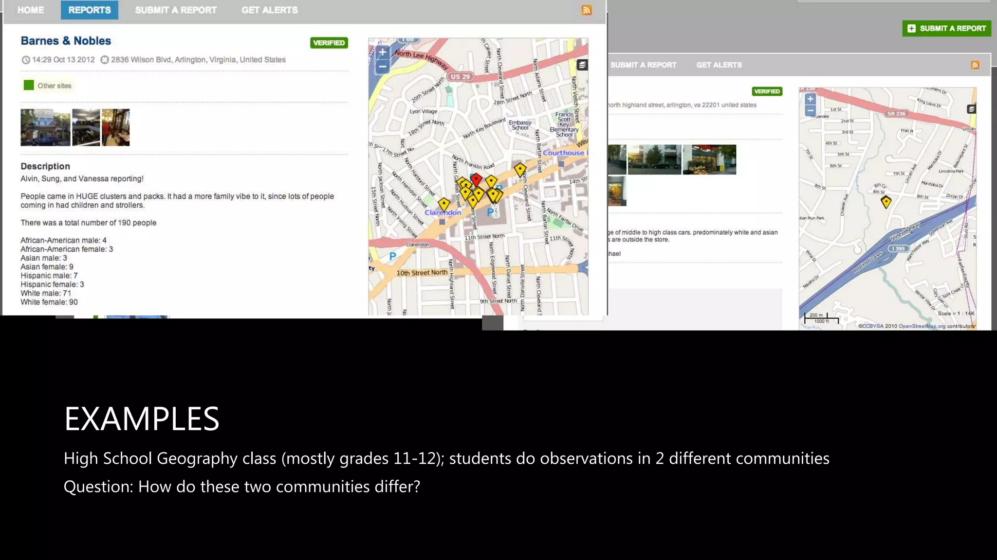
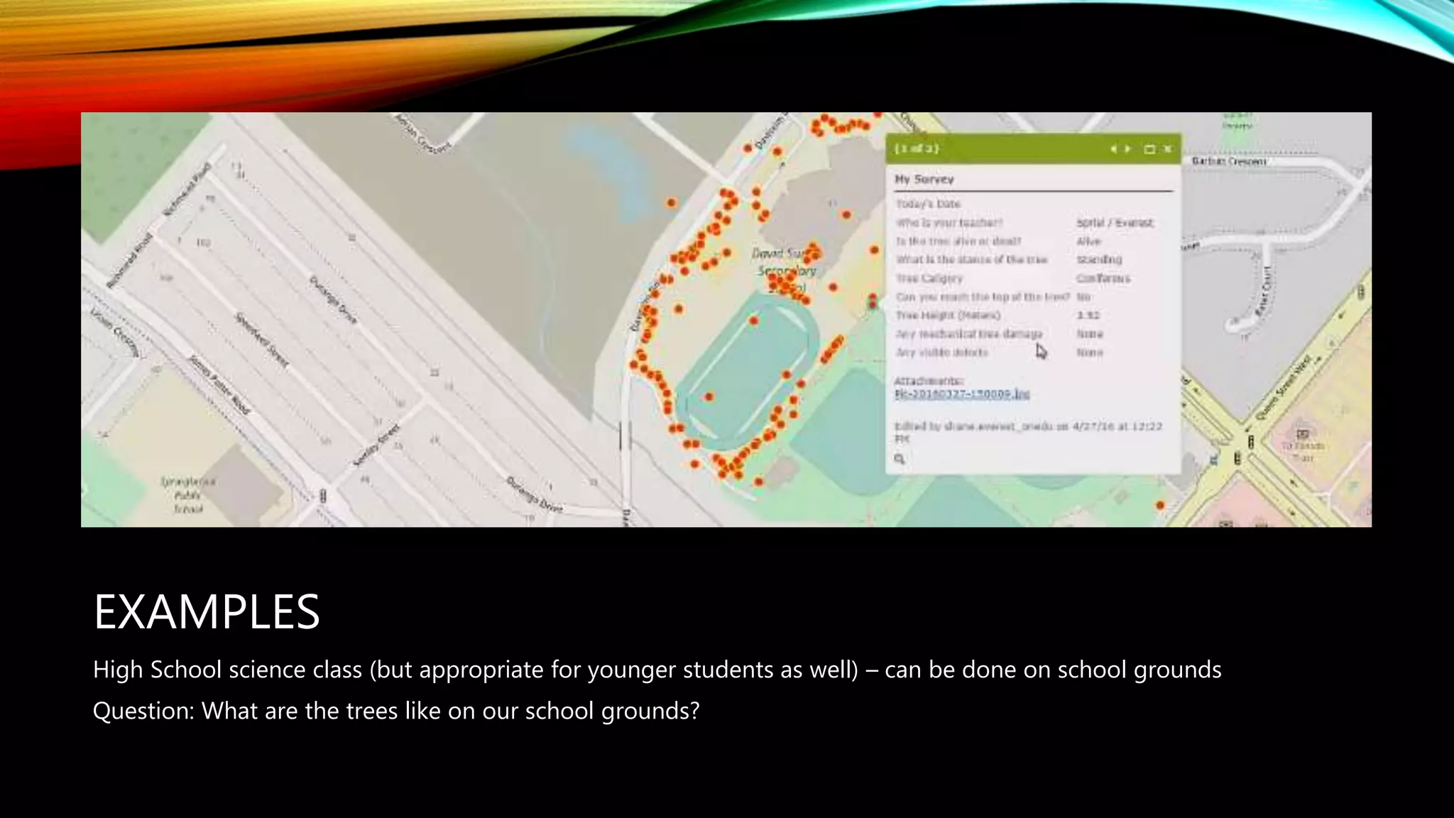
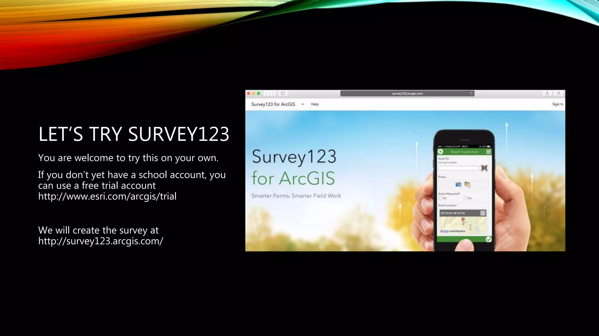
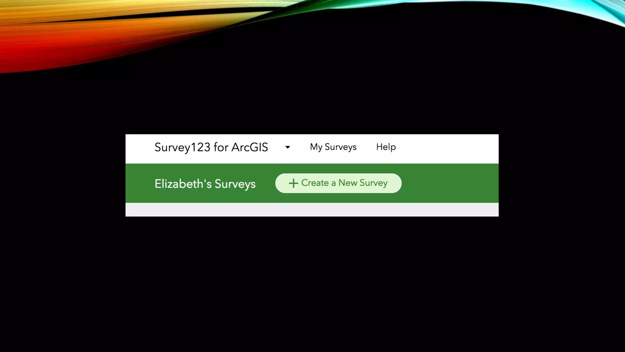
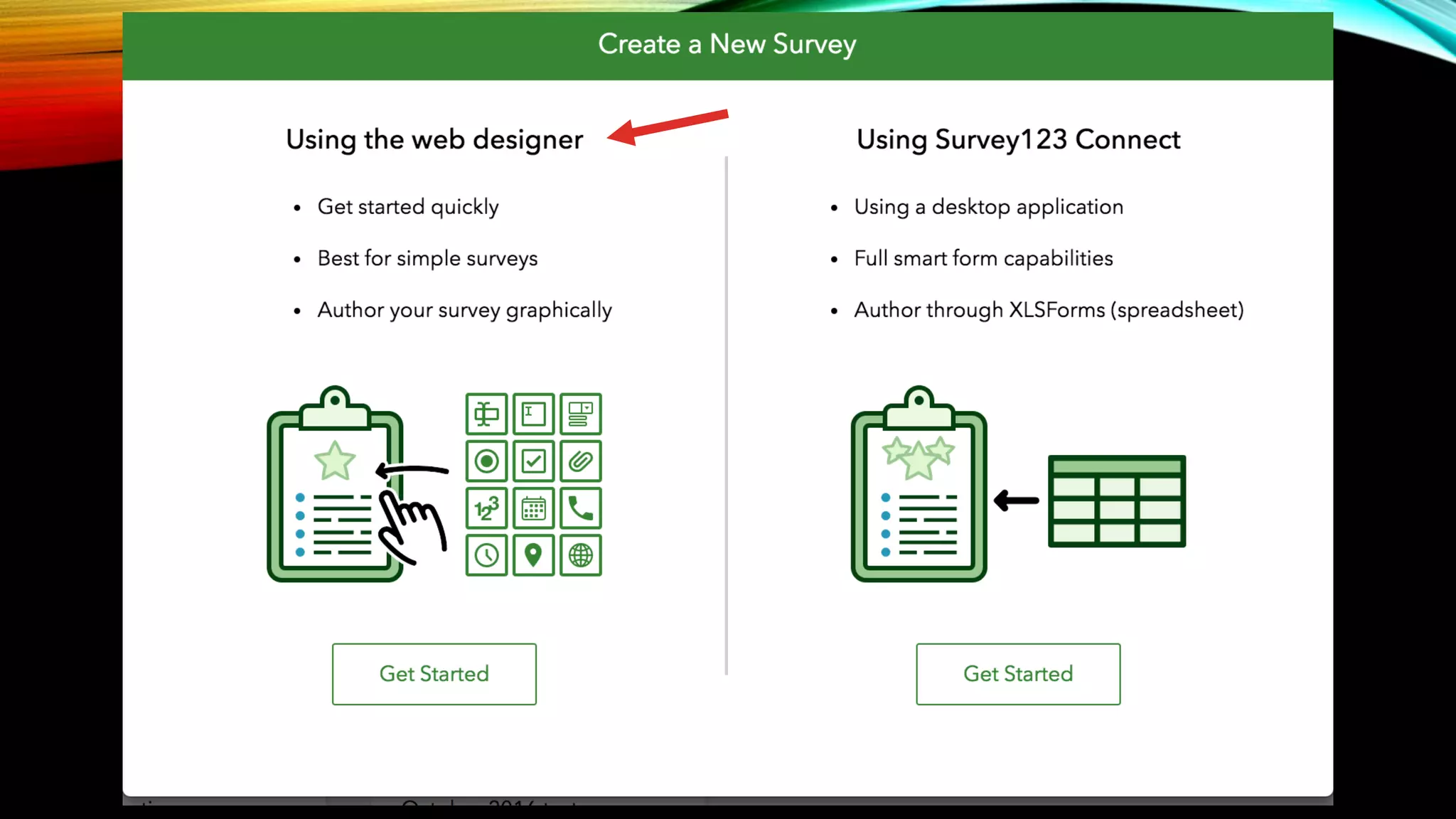
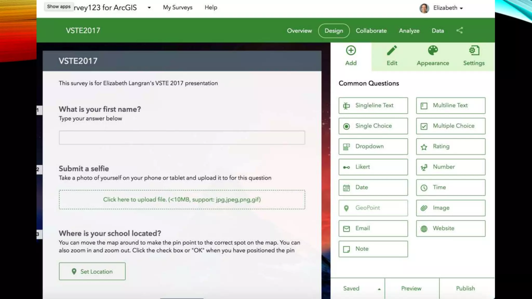
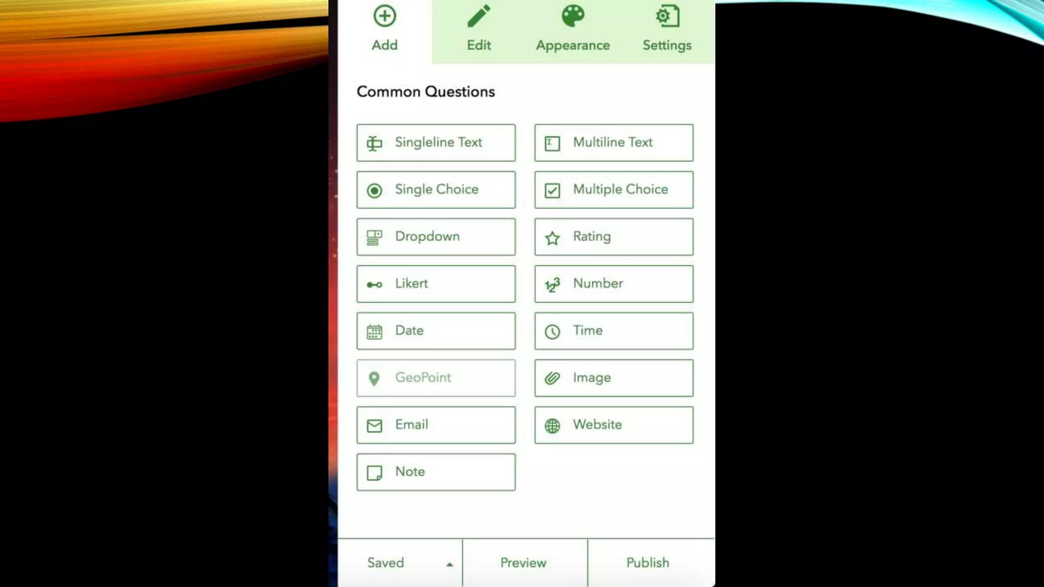
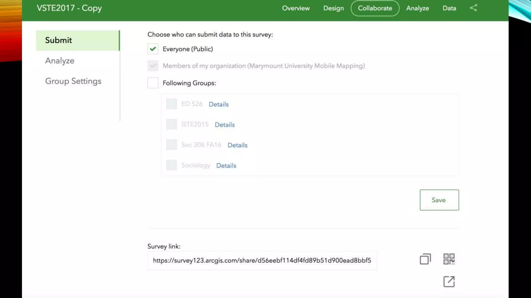
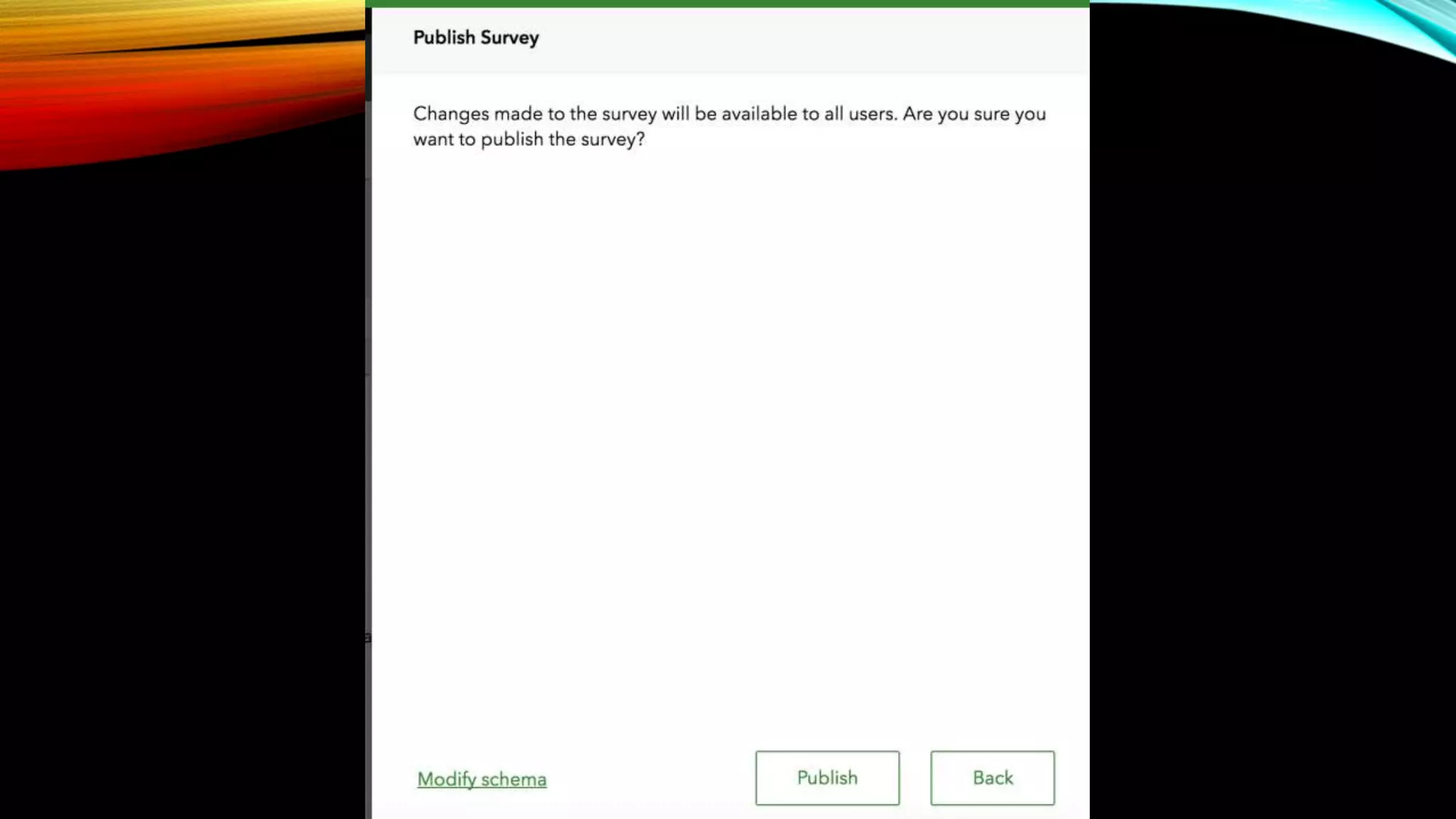
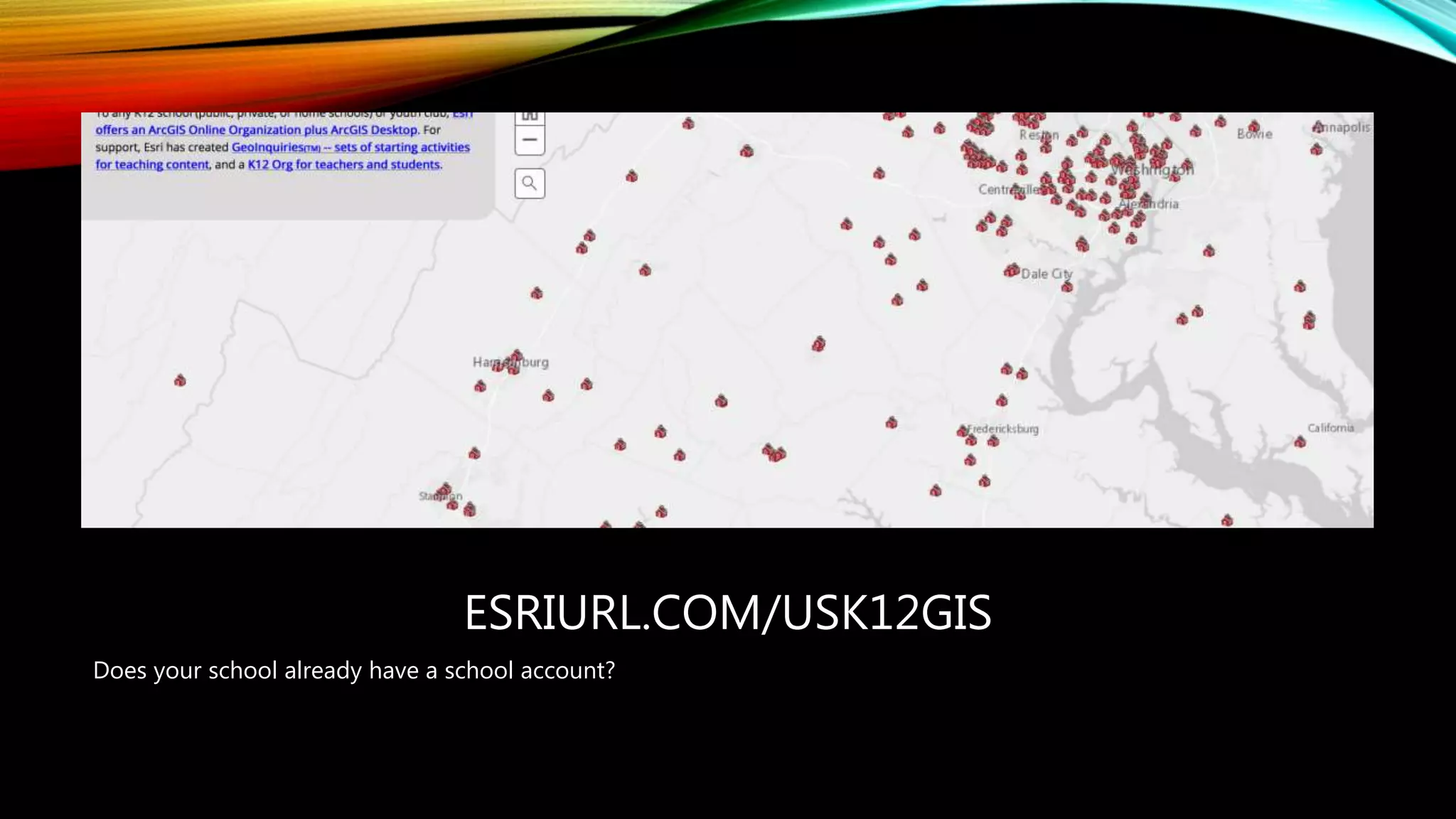
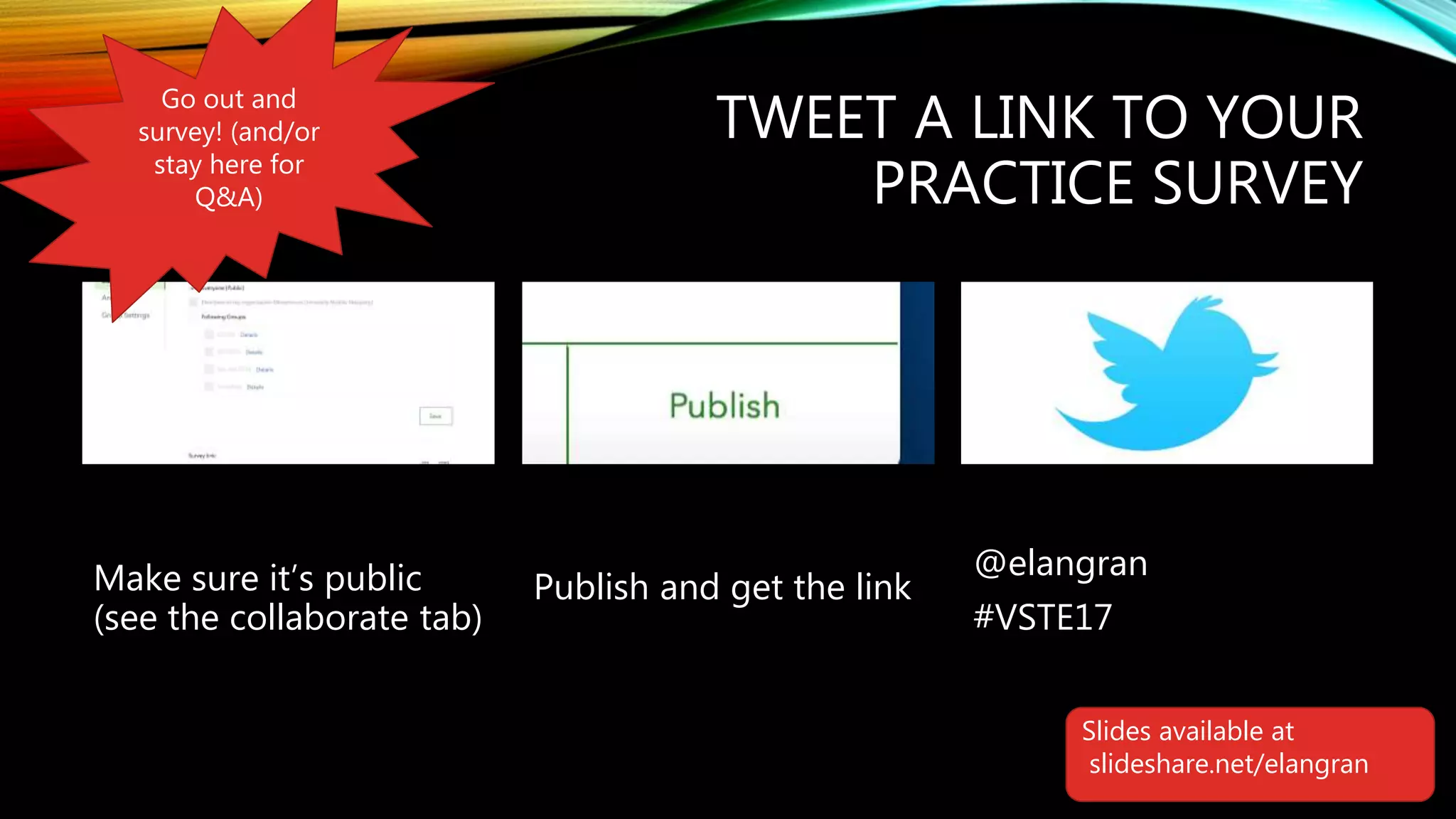
GETTING MOVING AND INTO
YOUR COMMUNITY WITH
MOBILE MAPPING
Elizabeth Langran, Marymount University
Slides available at
slideshare.net/elangran
SESSION AGENDA
• Mapping terminology and concepts
• Inquiry terminology and concepts
• Be a participant in a survey
• View survey results
• View student examples
• Brainstorm questions
• Try your hand at Survey123
• How to get access to this online service (spoiler alert: it’s free for US K-12 schools!)
• Test out your survey & Q&A
GEOSPATIAL LITERACY
Use maps to provide
opportunities for students
to see patterns, make
connections, & create their
own meaning
A GREAT MAP TELLS A GREAT STORY
• It starts with a question
Photo by elangran
WHAT DO I SEE? WHAT DO I THINK?
WHAT DO I WONDER?
Questioning
&
Wondering
Reading &
Learning
Looking &
Listening
Analyzing &
Interpreting
Sharing &
Planning
Based on John Dewey. Logic: The Theory of Inquiry. Holt, Rinehart and Winston, New York, 1938
QUESTIONING & WONDERING
• Teach students how to ask questions; model see/think/wonder
• Use primary sources, community observations
• Use mind (thinking) maps & journals
• Try open questions (rather than yes/no) with discoverable answers
• Curiosity
Questioning
&
Wondering
Reading &
Learning
Looking &
Listening
Analyzing &
Interpreting
Sharing &
Planning
What do I see? What do I think? What do I wonder?
https://goo.gl/ezxCP7
Take the survey
https://goo.gl/J3KeRH
Results
EXAMPLES
High School Geography class (mostly grades 11-12); students do observations in 2 different communities
Question: How do these two communities differ?
EXAMPLES
High School science class (but appropriate for younger students as well) – can be done on school grounds
Question: What are the trees like on our school grounds?
EXAMPLES
• What evidence of globalization do I see in my
neighborhood? How is my community a “global
village?”
• What examples of flooding or storm damage do I
see in my neighborhood?
• Where do I see litter (can be done on school
grounds or in the neighborhood)
• What kinds of animals are here?
• What historic monuments do I see? (good for
field trips)
• Monitor E. coli concentrations in Four Mile Run
and Tripps Run for the Virginia Department of
Environmental Quality (examine data trends over
time, and identify and calculate impervious
surfaces in the city using spatial imagery,
connecting with study on stormwater)
Other questions that can be used for data
collection
EXAMPLES
Other questions that can be used for data
collection
Your turn!
LET’S TRY SURVEY123
You are welcome to try this on your own.
If you don’t yet have a school account, you
can use a free trial account
http://www.esri.com/arcgis/trial
We will create the survey at
http://survey123.arcgis.com/
HTTP://WWW.ESRI.COM/CONNECTED
It’s free for all US K-12 schools and youth-serving clubs!
ESRIURL.COM/USK12GIS
Does your school already have a school account?
TWEET A LINK TO YOUR
PRACTICE SURVEY
Make sure it’s public
(see the collaborate tab)
Publish and get the link
@elangran
#VSTE17
Go out and
survey! (and/or
stay here for
Q&A)
Slides available at
slideshare.net/elangran

Vste 2017 Mobile Mapping Langran

  • 1.
    GETTING MOVING ANDINTO YOUR COMMUNITY WITH MOBILE MAPPING Elizabeth Langran, Marymount University Slides available at slideshare.net/elangran
  • 2.
    SESSION AGENDA • Mappingterminology and concepts • Inquiry terminology and concepts • Be a participant in a survey • View survey results • View student examples • Brainstorm questions • Try your hand at Survey123 • How to get access to this online service (spoiler alert: it’s free for US K-12 schools!) • Test out your survey & Q&A
  • 11.
    GEOSPATIAL LITERACY Use mapsto provide opportunities for students to see patterns, make connections, & create their own meaning
  • 12.
    A GREAT MAPTELLS A GREAT STORY • It starts with a question
  • 13.
  • 14.
    WHAT DO ISEE? WHAT DO I THINK? WHAT DO I WONDER? Questioning & Wondering Reading & Learning Looking & Listening Analyzing & Interpreting Sharing & Planning Based on John Dewey. Logic: The Theory of Inquiry. Holt, Rinehart and Winston, New York, 1938
  • 15.
    QUESTIONING & WONDERING •Teach students how to ask questions; model see/think/wonder • Use primary sources, community observations • Use mind (thinking) maps & journals • Try open questions (rather than yes/no) with discoverable answers • Curiosity Questioning & Wondering Reading & Learning Looking & Listening Analyzing & Interpreting Sharing & Planning What do I see? What do I think? What do I wonder?
  • 16.
  • 17.
  • 18.
    EXAMPLES High School Geographyclass (mostly grades 11-12); students do observations in 2 different communities Question: How do these two communities differ?
  • 19.
    EXAMPLES High School scienceclass (but appropriate for younger students as well) – can be done on school grounds Question: What are the trees like on our school grounds?
  • 20.
    EXAMPLES • What evidenceof globalization do I see in my neighborhood? How is my community a “global village?” • What examples of flooding or storm damage do I see in my neighborhood? • Where do I see litter (can be done on school grounds or in the neighborhood) • What kinds of animals are here? • What historic monuments do I see? (good for field trips) • Monitor E. coli concentrations in Four Mile Run and Tripps Run for the Virginia Department of Environmental Quality (examine data trends over time, and identify and calculate impervious surfaces in the city using spatial imagery, connecting with study on stormwater) Other questions that can be used for data collection
  • 21.
    EXAMPLES Other questions thatcan be used for data collection Your turn!
  • 22.
    LET’S TRY SURVEY123 Youare welcome to try this on your own. If you don’t yet have a school account, you can use a free trial account http://www.esri.com/arcgis/trial We will create the survey at http://survey123.arcgis.com/
  • 32.
    HTTP://WWW.ESRI.COM/CONNECTED It’s free forall US K-12 schools and youth-serving clubs!
  • 33.
    ESRIURL.COM/USK12GIS Does your schoolalready have a school account?
  • 34.
    TWEET A LINKTO YOUR PRACTICE SURVEY Make sure it’s public (see the collaborate tab) Publish and get the link @elangran #VSTE17 Go out and survey! (and/or stay here for Q&A) Slides available at slideshare.net/elangran

Editor's Notes

  • #12 (define geospatial:Geospatial literacy includes the ability to understand, create and use geospatial representations for Web navigation, narrative descriptions, problem-solving and artistic expression (Liebhold 2004). In light of the explosive growth and diminished lifespan of information, geospatial literacy is becoming increasingly important, as the thought that needs to be followed in information discovery tasks is often spatial in nature) This ises ArcGIS explorer (explorer.arcgis.com)
  • #17 https://survey123.arcgis.com/share/4d2fb963d5a74e50b596da93d47f87e7?open=menu
  • #18 https://marymount.maps.arcgis.com/apps/webappviewer/index.html?id=0f3252bd595f4ee1a11b39eb7392888d
  • #21 George Mason HS
  • #33 https://www.esri.com/industries/education/software-bundle#%20