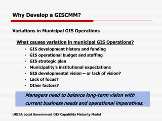
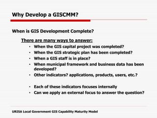
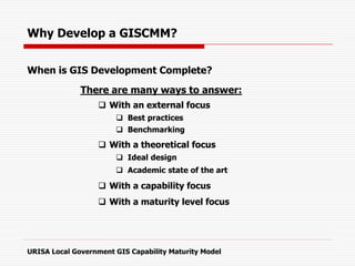
Download as PDF, PPTX

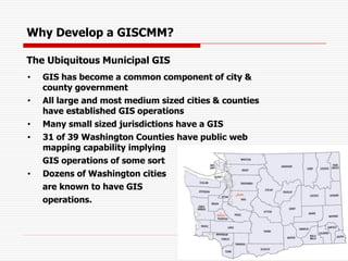
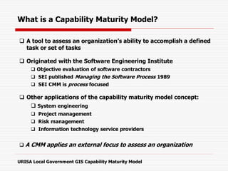
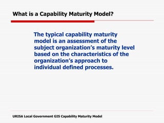
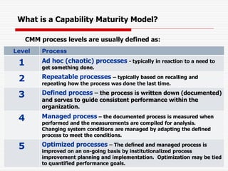
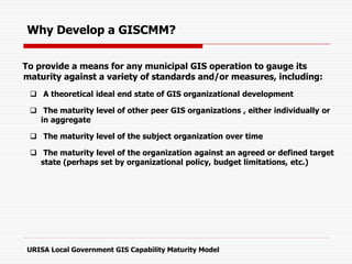
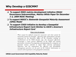
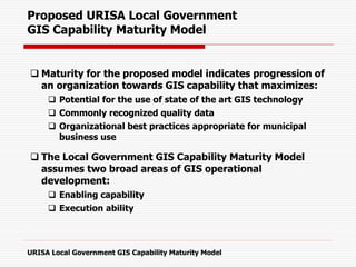
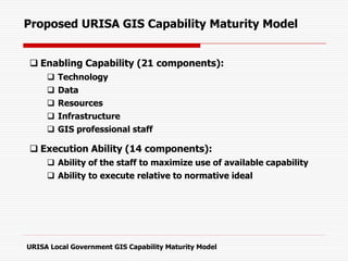
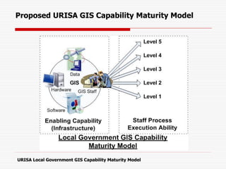
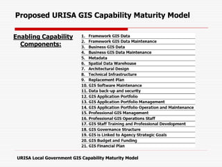
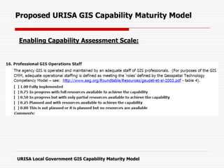
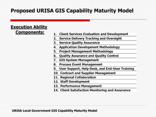
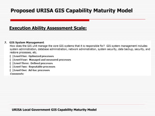
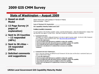
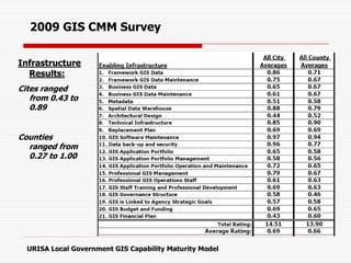
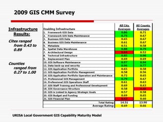
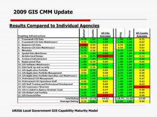
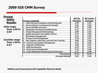
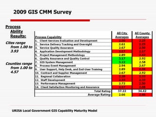
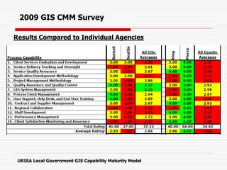
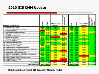
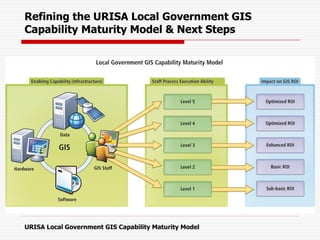
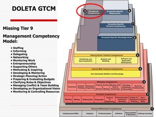

This document outlines URISA's proposed Local Government GIS Capability Maturity Model (GISCMM). The GISCMM is intended to provide a means for municipal GIS operations to assess their maturity level against best practices and peer organizations. The model defines two broad areas - Enabling Capability (e.g. technology, data, resources) and Execution Ability. Each area contains multiple components that are assessed on a scale. The document discusses the development of the GISCMM and provides an example of survey results that have helped refine the model. Next steps include further refinement, potentially linking the model to return on investment, and developing a Geospatial Management Competency Model.


