Download as PDF, PPTX
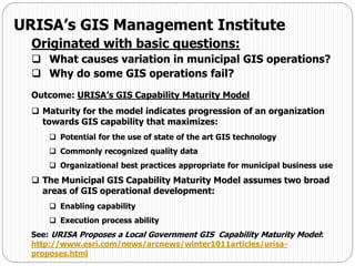
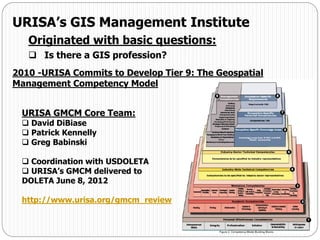
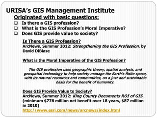
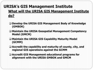
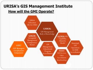
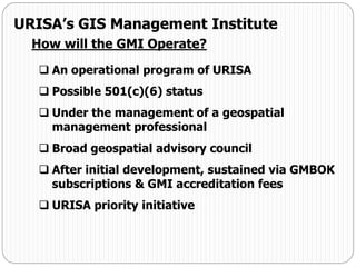


This document discusses the origins and purpose of URISA's GIS Management Institute (GMI). The GMI aims to develop standards and best practices for GIS management through tools like the GIS Management Body of Knowledge (GMBOK) and the Geospatial Management Competency Model (GMCM). The GMI will accredit GIS operations and educational programs based on these standards. It will be operated by URISA to promote effective GIS management and advance the GIS profession.


