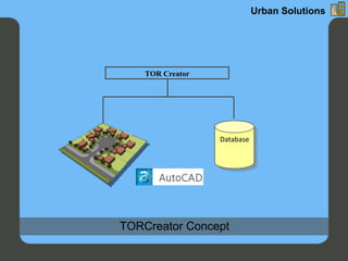
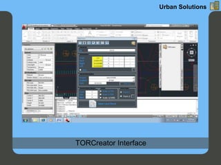
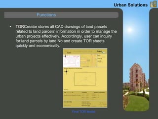
The document discusses the torcreator application designed for urban planning and surveying, which integrates database management with AutoCAD to alleviate issues related to GIS complexity and data conversion. It automates the creation of tor models for land parcels, enhancing efficiency and reducing the effort required for managing urban projects. The application also ensures data security, facilitates easy search and retrieval of CAD drawings, and is compatible with specific AutoCAD versions.