test presentation slideshare view
•Download as PPT, PDF•
0 likes•223 views

The portfolio visualization in iwlearn.net provides an interactive map of the GEF International Waters portfolio projects to allow for enhanced access to project results and increased accountability. It can filter projects by type, date, region and shows the countries and basins projects partner with. Selecting individual projects displays more detailed information, maps and files can also be viewed in Google Earth.

Recommended
More Related Content
Similar to test presentation slideshare view
Similar to test presentation slideshare view (7)
More from Iwl Pcu
More from Iwl Pcu (20)
Recently uploaded
Recently uploaded (20)
test presentation slideshare view
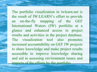
- 1. The portfolio visualization in iwlearn.net is the result of IW:LEARN’s effort to provide an on-the-fly mapping of the GEF International Waters (IW) portfolio at a glance and enhanced access to project results and activities in the project database. The visualization tool also promotes increased accountability on GEF IW projects to share knowledge and make project results accessible to improve knowledge sharing and aid in assessing environment issues and impacts of the efforts by the portfolio.
- 2. Map of upcoming Events It can be filtered by: Type of Event Date range Region
- 6. The Project Database Projects can be viewed by: Approximate location of the project Countries the projects partners with Basin(s) of the Projects
- 9. The Projects can be filtered by: Region Implementing Agency Project type Project Status Basin
- 13. The country visualization shows the countries the projects are partnering with Few Projects Many Projects
- 16. The Projects can be filtered by: Region Implementing Agency Project type Project Status Basin
- 20. The Basin Visualization Projects associated with a River LME Aquifer or Lake basin
- 24. As you zoom in more details become visible
- 27. Layers for basin types can be turned on or off
- 31. On the individual project more detailed Information is shown Partnering Countries Basin Maps provided by the project
- 40. The KML files produced by the visualizations can be viewed in Google Earth