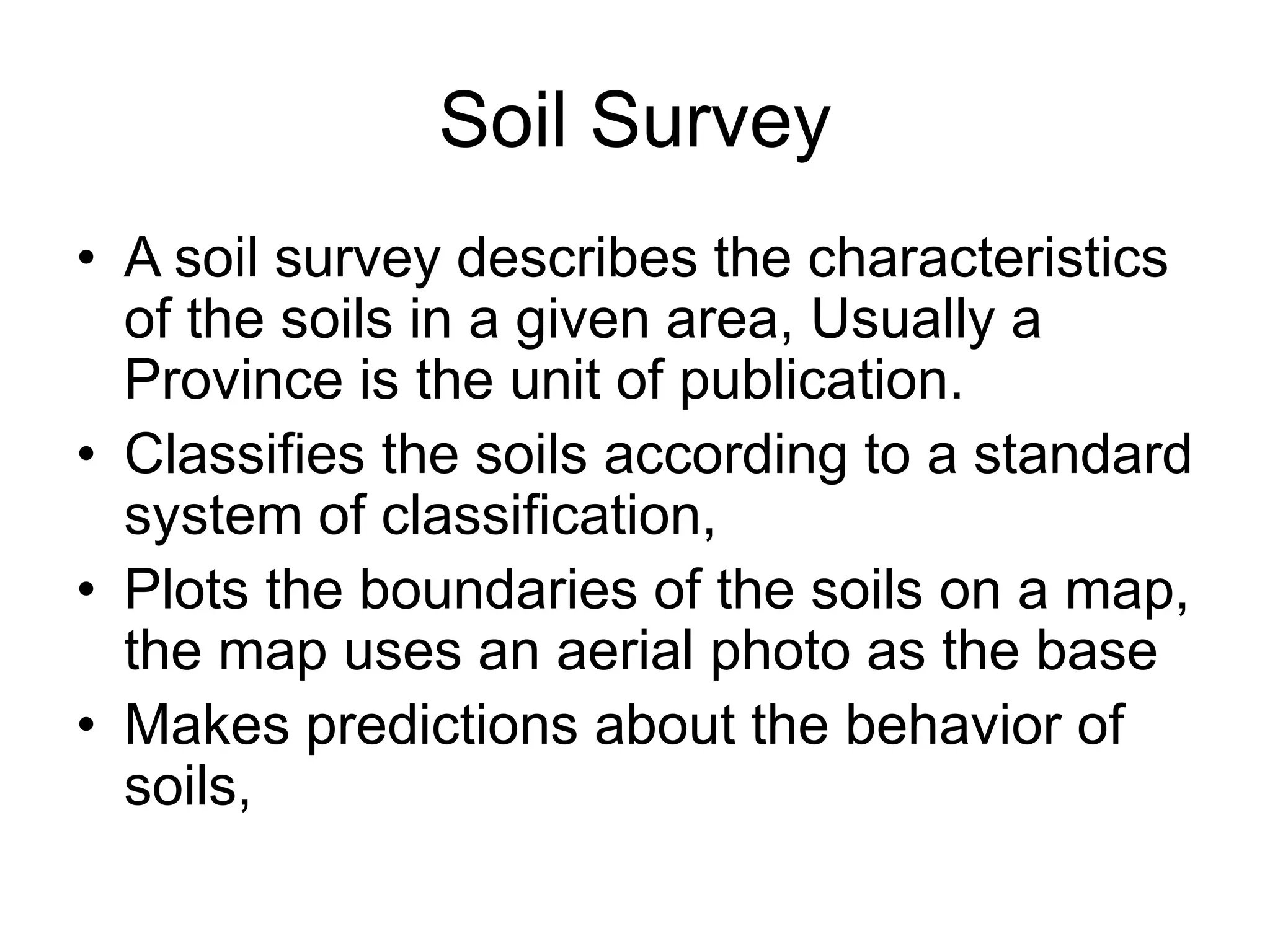
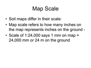
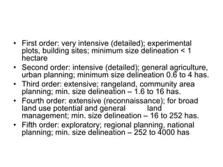
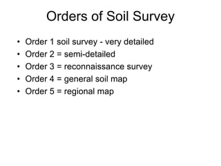
Soil Survey
• A soil survey describes the characteristics
of the soils in a given area, Usually a
Province is the unit of publication.
• Classifies the soils according to a standard
system of classification,
• Plots the boundaries of the soils on a map,
the map uses an aerial photo as the base
• Makes predictions about the behavior of
soils,
Map Scale
• Soil maps differ in their scale:
• Map scale refers to how many inches on
the map represents inches on the ground -
• Scale of 1:24,000 says 1 mm on map =
24,000 mm or 24 m on the ground
• First order: very intensive (detailed); experimental
plots, building sites; minimum size delineation < 1
hectare
• Second order: intensive (detailed); general agriculture,
urban planning; minimum size delineation 0.6 to 4 has.
• Third order: extensive; rangeland, community area
planning; min. size delineation – 1.6 to 16 has.
• Fourth order: extensive (reconnaissance); for broad
land use potential and general land
management; min. size delineation – 16 to 252 has.
• Fifth order: exploratory; regional planning, national
planning; min. size delineation – 252 to 4000 has
Orders of Soil Survey
• Order 1 soil survey - very detailed
• Order 2 = semi-detailed
• Order 3 = reconnaissance survey
• Order 4 = general soil map
• Order 5 = regional map

soil survey.pptx

  • 1.
    Soil Survey • Asoil survey describes the characteristics of the soils in a given area, Usually a Province is the unit of publication. • Classifies the soils according to a standard system of classification, • Plots the boundaries of the soils on a map, the map uses an aerial photo as the base • Makes predictions about the behavior of soils,
  • 2.
    Map Scale • Soilmaps differ in their scale: • Map scale refers to how many inches on the map represents inches on the ground - • Scale of 1:24,000 says 1 mm on map = 24,000 mm or 24 m on the ground
  • 3.
    • First order:very intensive (detailed); experimental plots, building sites; minimum size delineation < 1 hectare • Second order: intensive (detailed); general agriculture, urban planning; minimum size delineation 0.6 to 4 has. • Third order: extensive; rangeland, community area planning; min. size delineation – 1.6 to 16 has. • Fourth order: extensive (reconnaissance); for broad land use potential and general land management; min. size delineation – 16 to 252 has. • Fifth order: exploratory; regional planning, national planning; min. size delineation – 252 to 4000 has
  • 4.
    Orders of SoilSurvey • Order 1 soil survey - very detailed • Order 2 = semi-detailed • Order 3 = reconnaissance survey • Order 4 = general soil map • Order 5 = regional map