Download to read offline

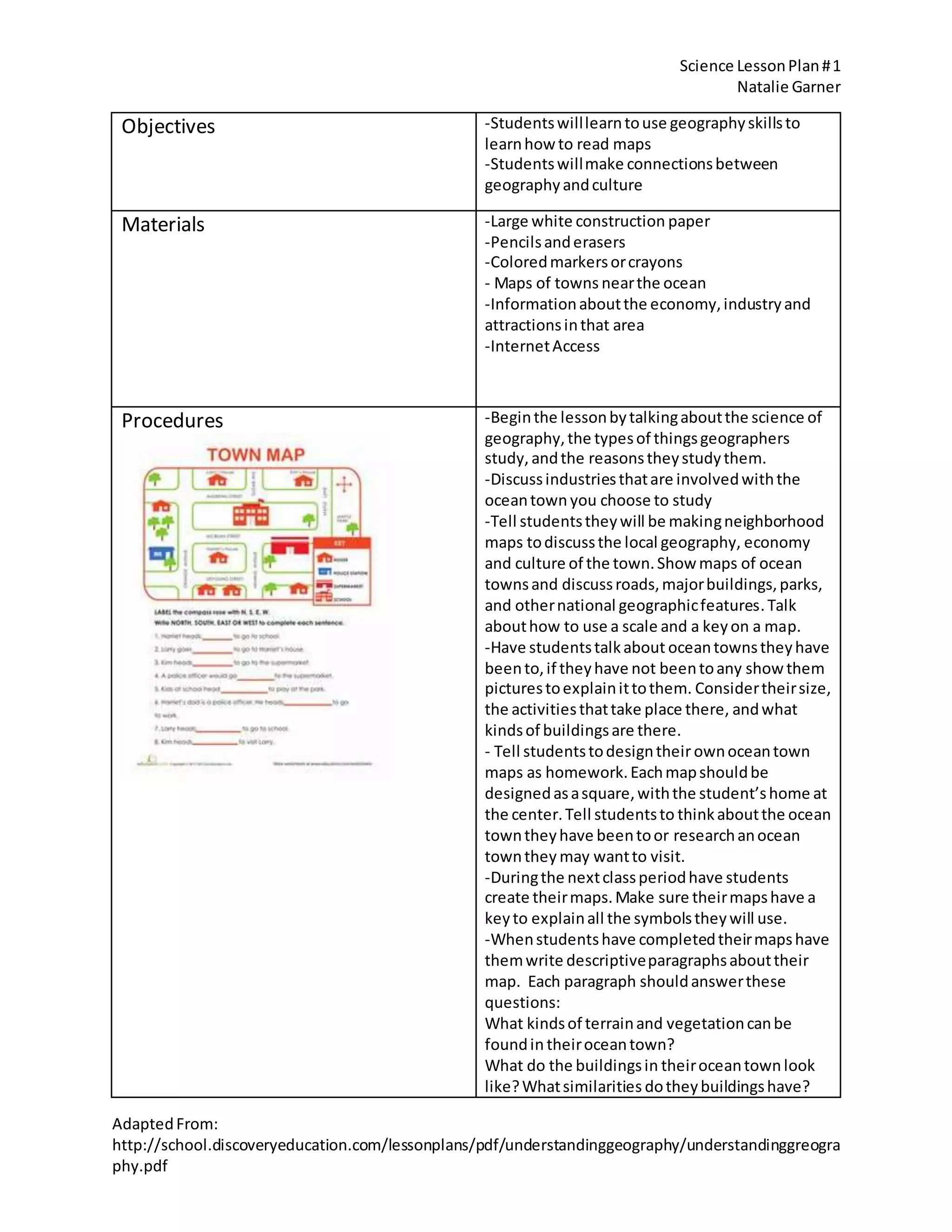


This science lesson plan aims to teach students about geography by having them design maps of fictional ocean towns. Students will learn about key geographic concepts like terrain, vegetation, buildings, and activities. They will research real ocean towns to inform their map designs. Students will create their own maps with symbols and keys, then write descriptive paragraphs about the geography, buildings, and culture of their towns. Finally, they will share their maps and writings to compare similarities between towns and discuss how geography influences local economies. The lesson uses hands-on mapmaking, research, writing, and presentations to engage students in understanding relationships between geography, culture and economies.


![GEOG HISTORY LTP UPDATE 2022 FEBRUARY[85] (1).pdf](https://cdn.slidesharecdn.com/ss_thumbnails/geoghistoryltpupdate2022february851-220331102116-thumbnail.jpg?width=640&height=640&fit=bounds)


![谷歌留痕技术 [ 𝙩𝙤𝙥 𝟮𝟯𝟯. 𝙘 𝙤𝙢 ]](https://cdn.slidesharecdn.com/ss_thumbnails/top233-260130174328-3833018c-thumbnail.jpg?width=640&height=640&fit=bounds)


