Download to read offline
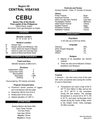

Cebu is a province located in Central Visayas in the Philippines. It has a total land area of 5,088 square kilometers and is surrounded by 167 islands. Cebu has a tropical climate with two seasons - dry and wet. The population of Cebu is over 4 million people, with Cebuano as the dominant language spoken. Some of Cebu's main attractions include the Basilica Minore del Santo Niño, Fort San Pedro, and the Sinulog Festival held annually in January.


