Download to read offline

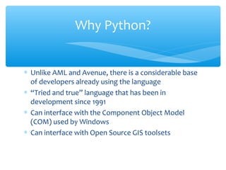


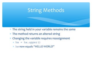
![∗ Lists (mutable sets of strings)
∗ var = [] # create list
∗ var = [‘one’, 2, ‘three’, ‘banana’]
∗ Tuples (immutable sets)
∗ var = (‘one’, 2, ‘three’, ‘banana’)
∗ Dictionaries (associative arrays or ‘hashes’)
∗ var = {} # create dictionary
∗ var = {‘lat’: 40.20547, ‘lon’: -74.76322}
∗ var[‘lat’] = 40.2054
∗ Each has its own set of methods
Other Python Objects](https://image.slidesharecdn.com/pythonbyganeshkavhar-190101022057/85/Python-by-ganesh-kavhar-11-320.jpg)
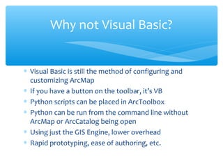
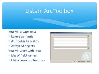
![∗ Think of a list as a stack of cards, on which your information
is written
∗ The information stays in the order you place it in until you
modify that order
∗ Methods return a string or subset of the list or modify the
list to add or remove components
∗ Written as var[index], index refers to order within set (think
card number, starting at 0)
∗ You can step through lists as part of a loop
Lists](https://image.slidesharecdn.com/pythonbyganeshkavhar-190101022057/85/Python-by-ganesh-kavhar-12-320.jpg)
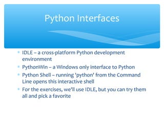
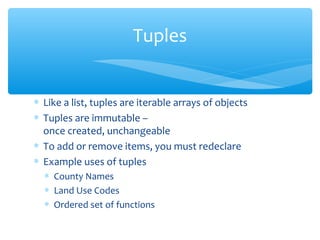
![∗ Adding to the List
∗ var[n] = object
∗ replaces n with object
∗ var.append(object)
∗ adds object to the end of the list
∗ Removing from the List
∗ var[n] = []
∗ empties contents of card, but preserves order
∗ var.remove(n)
∗ removes card at n
∗ var.pop(n)
∗ removes n and returns its value
List Methods](https://image.slidesharecdn.com/pythonbyganeshkavhar-190101022057/85/Python-by-ganesh-kavhar-13-320.jpg)
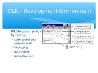
![∗ Dictionaries are sets of key & value pairs
∗ Allows you to identify values by a descriptive name
instead of order in a list
∗ Keys are unordered unless explicitly sorted
∗ Keys are unique:
∗ var[‘item’] = “apple”
∗ var[‘item’] = “banana”
∗ print var[‘item’] prints just banana
Dictionaries](https://image.slidesharecdn.com/pythonbyganeshkavhar-190101022057/85/Python-by-ganesh-kavhar-16-320.jpg)
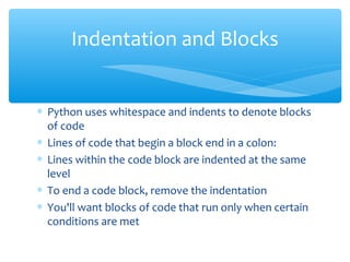
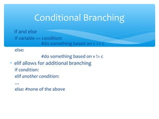
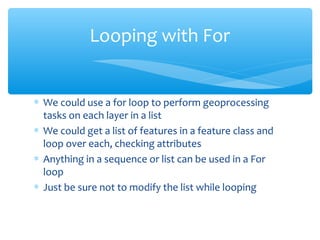
![∗ For allows you to loop over a block of code a
set number of times
∗ For is great for manipulating lists:
a = ['cat', 'window', 'defenestrate']
for x in a:
print x, len(x)
Results:
cat 3
window 6
defenestrate 12
Looping with For](https://image.slidesharecdn.com/pythonbyganeshkavhar-190101022057/85/Python-by-ganesh-kavhar-19-320.jpg)
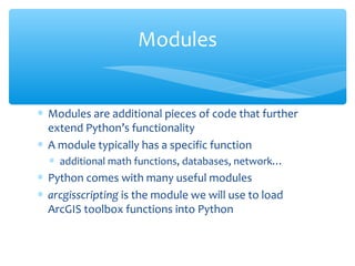
![∗ Modules are accessed using import
∗ import sys, os # imports two modules
∗ Modules can have subsets of functions
∗ os.path is a subset within os
∗ Modules are then addressed by
modulename.function()
∗ sys.argv # list of arguments
∗ filename = os.path.splitext("points.txt")
∗ filename[1] # equals ".txt"
Modules](https://image.slidesharecdn.com/pythonbyganeshkavhar-190101022057/85/Python-by-ganesh-kavhar-22-320.jpg)


Python is a high-level, open source programming language with a large community and standard library. It can be used for rapid prototyping and has interfaces for GIS tools like ArcGIS. Key Python concepts include objects like strings, lists, tuples, and dictionaries that have built-in methods, as well as conditionals, loops, modules, and error handling.