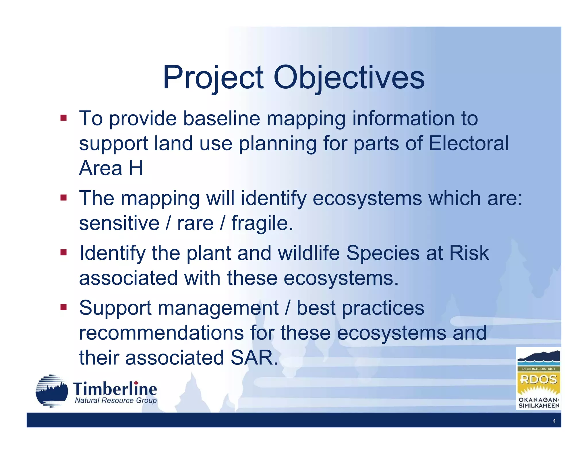
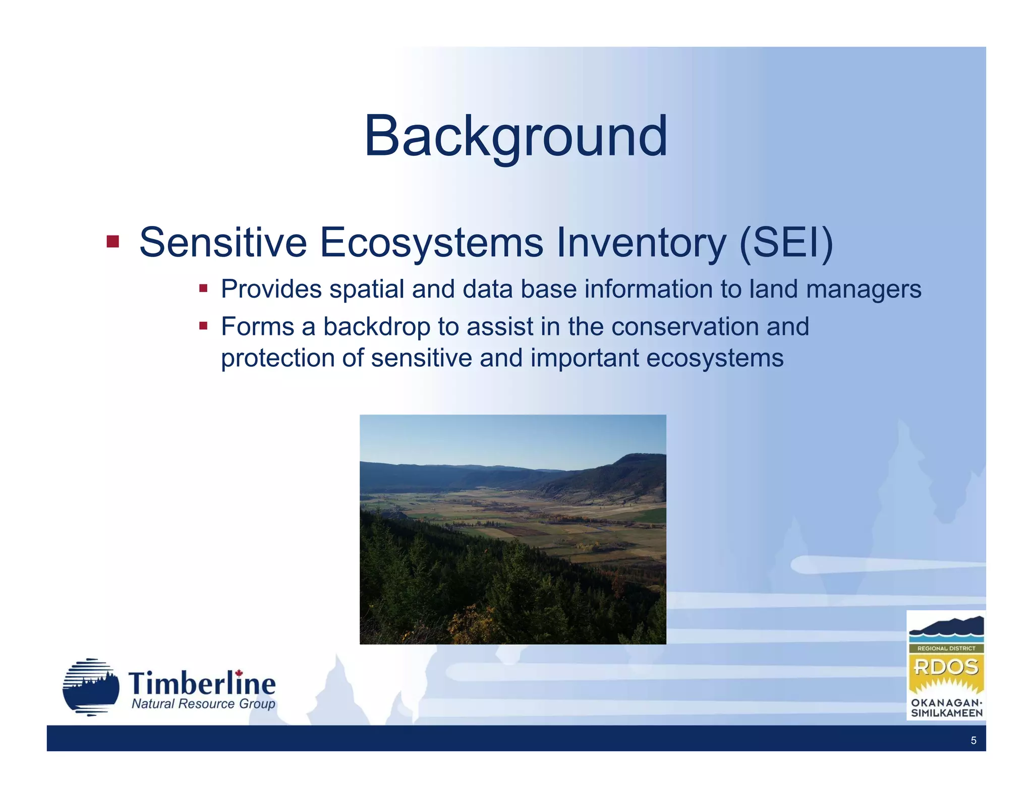
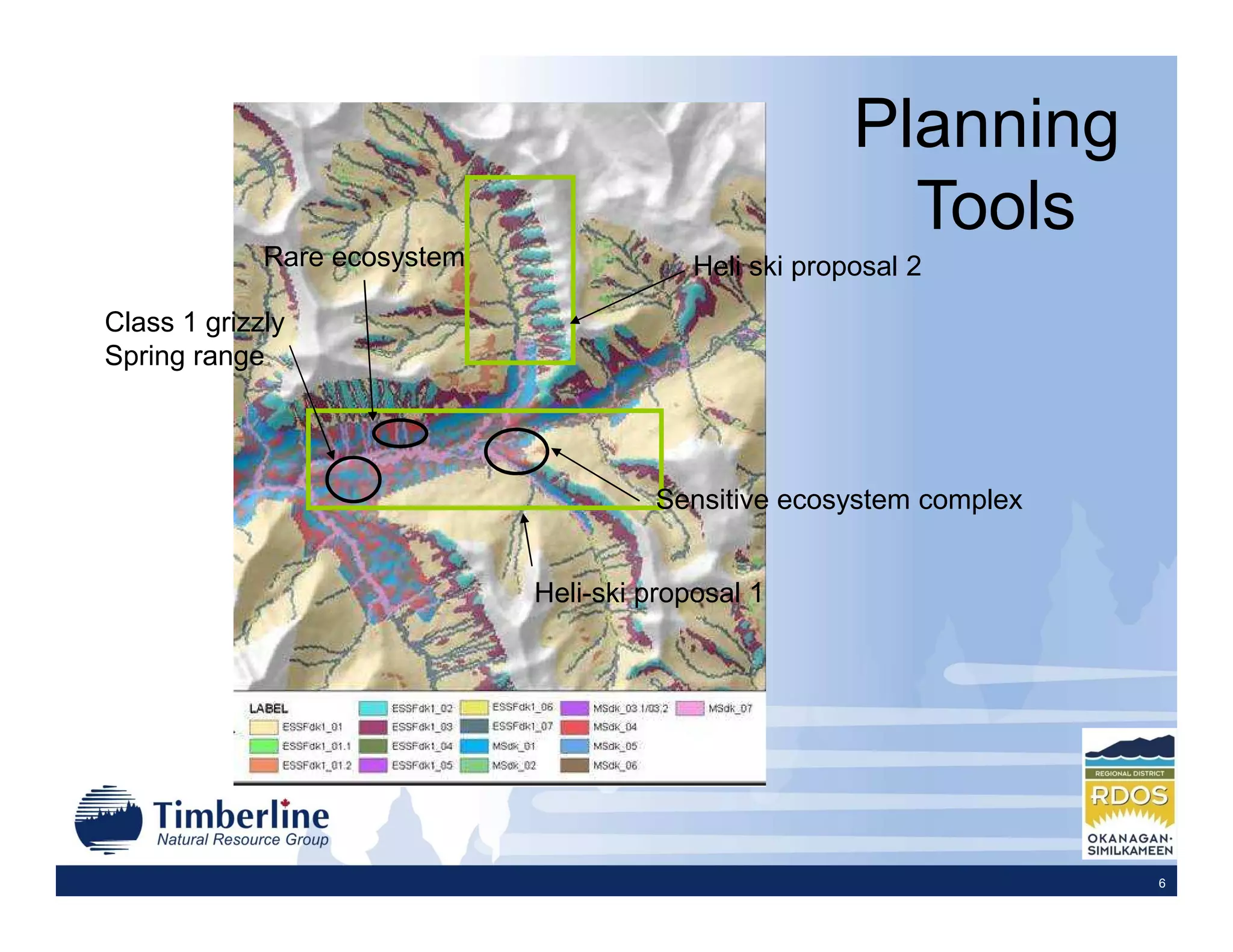
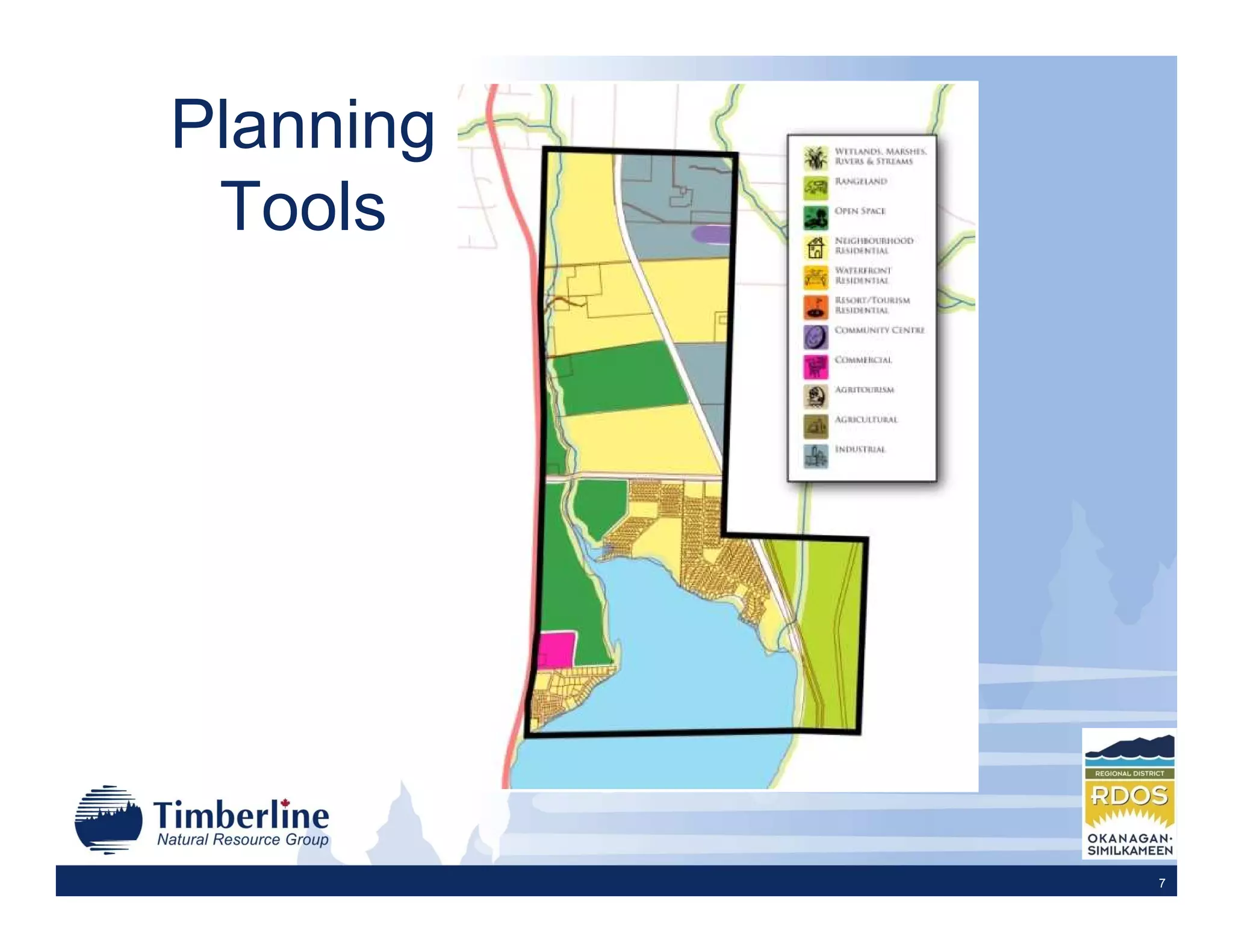
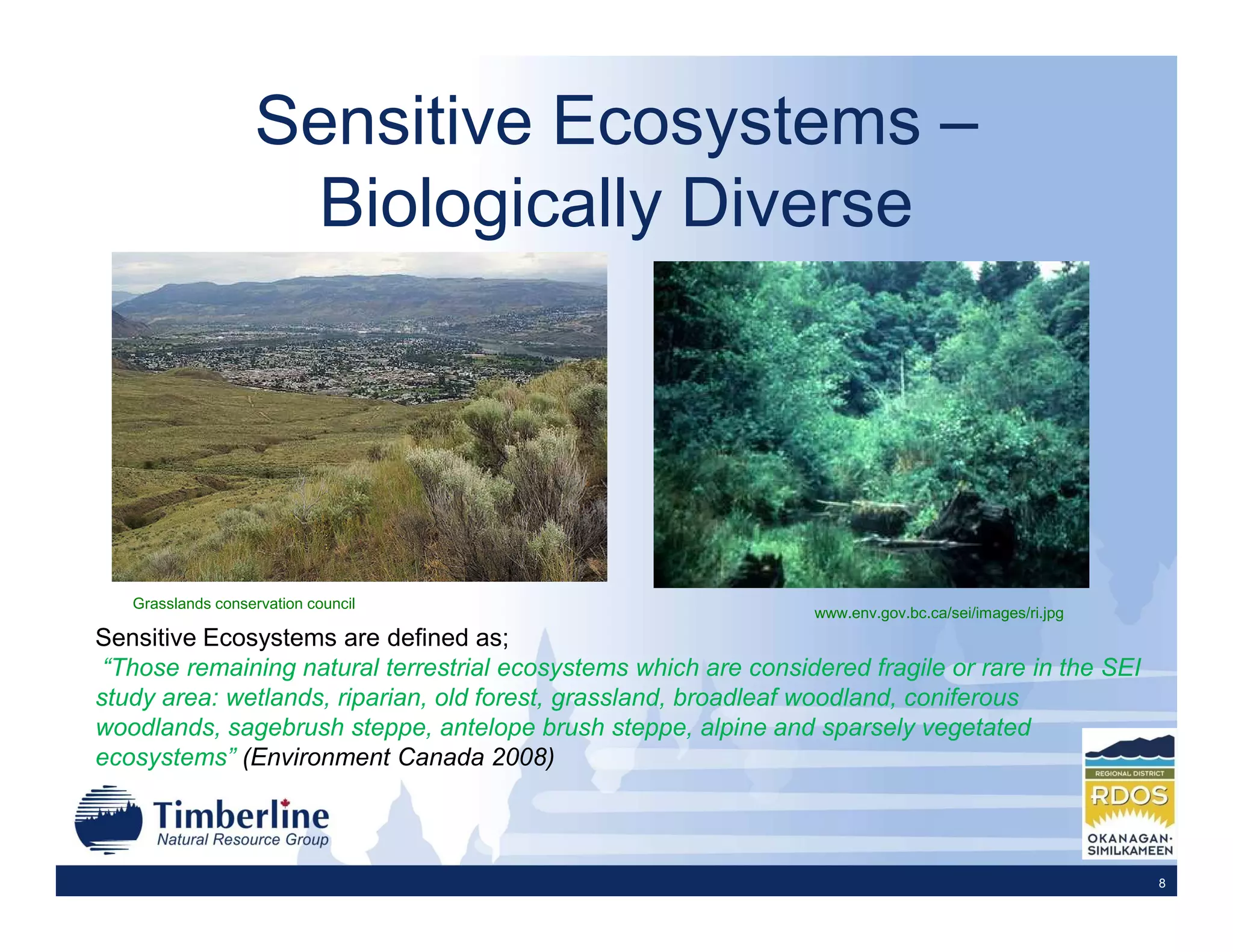
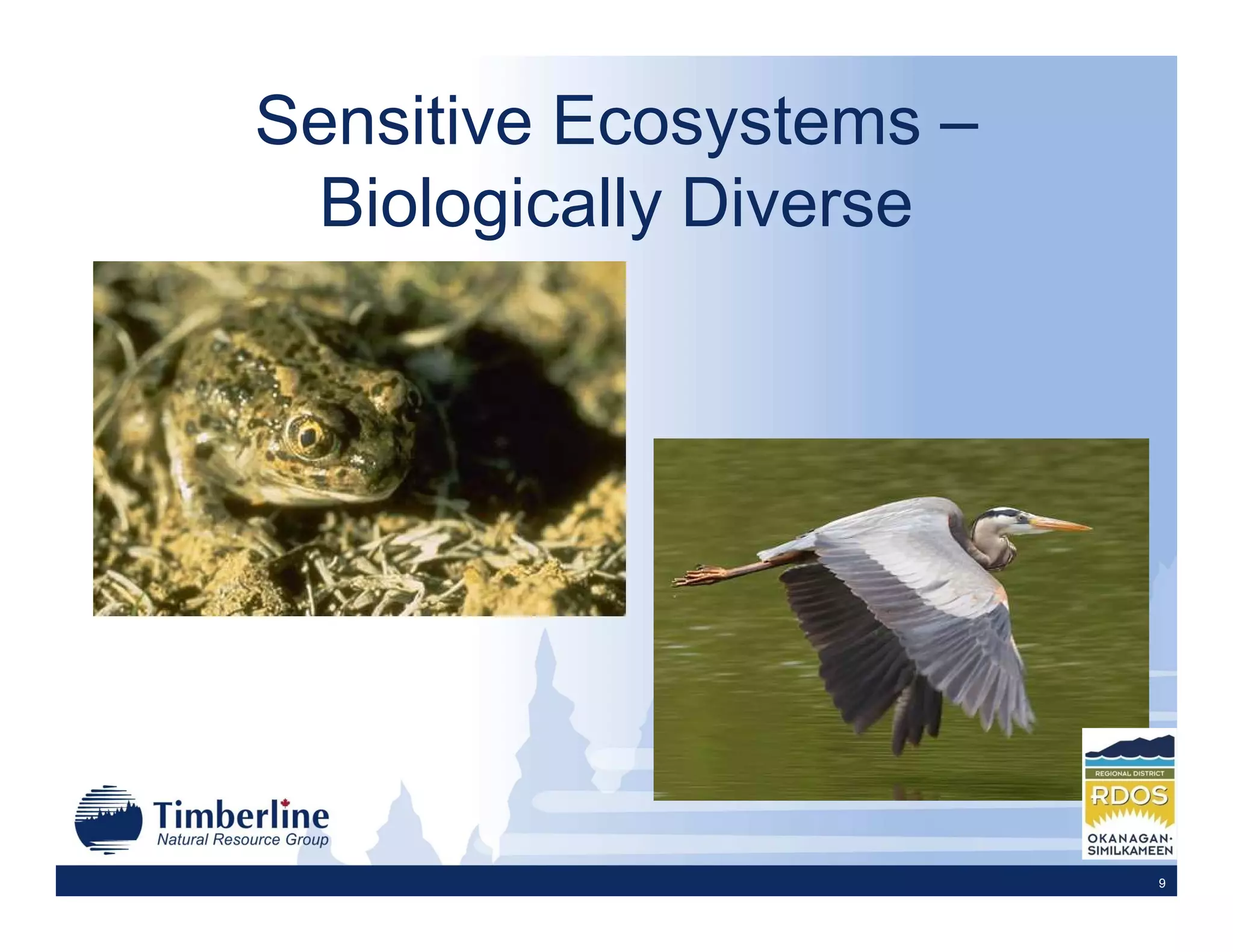
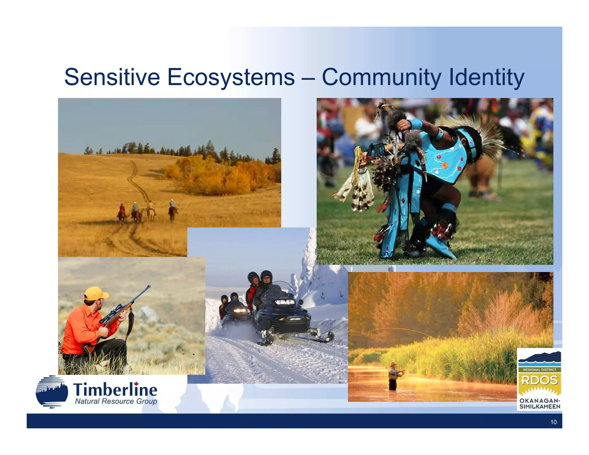
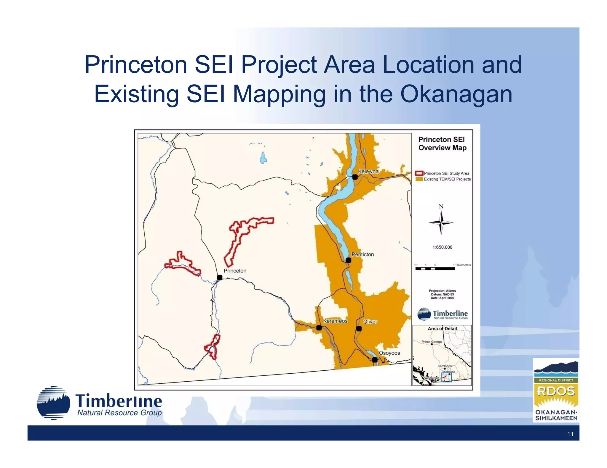
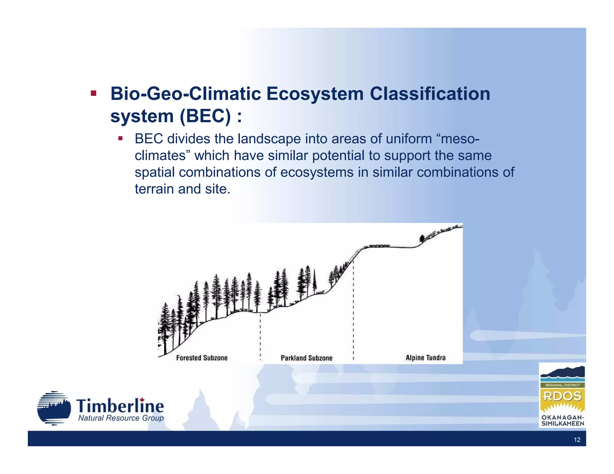
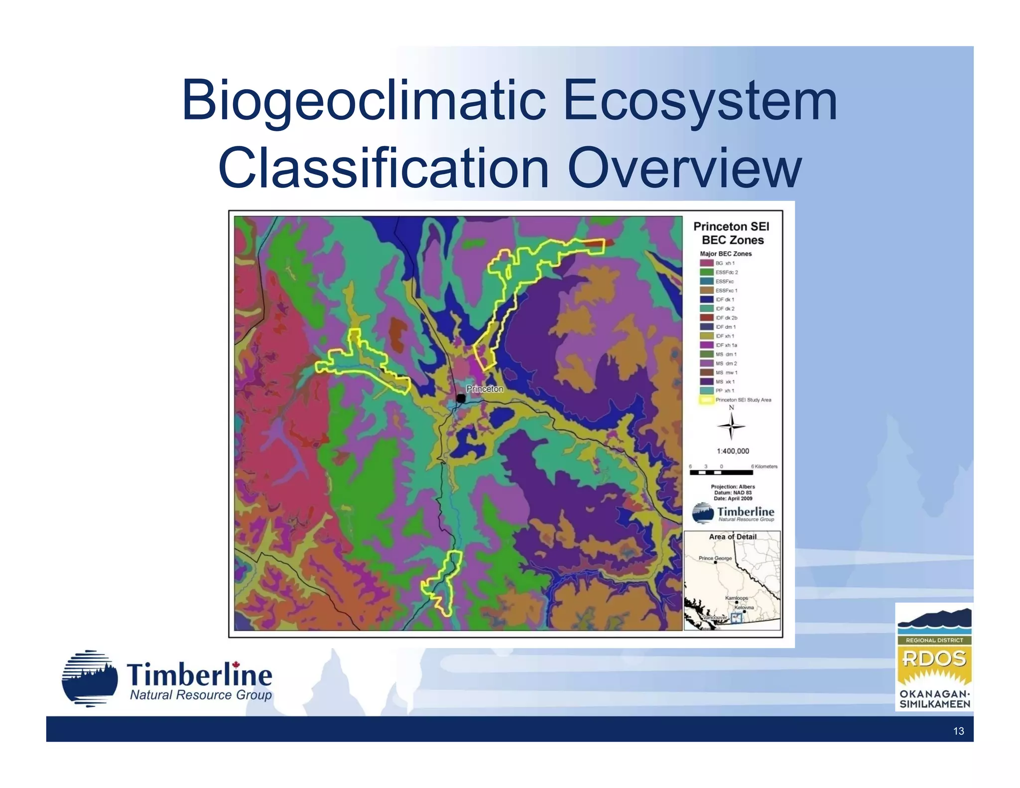
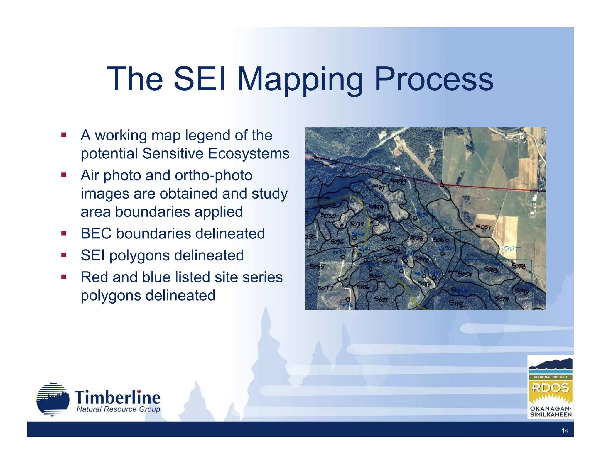
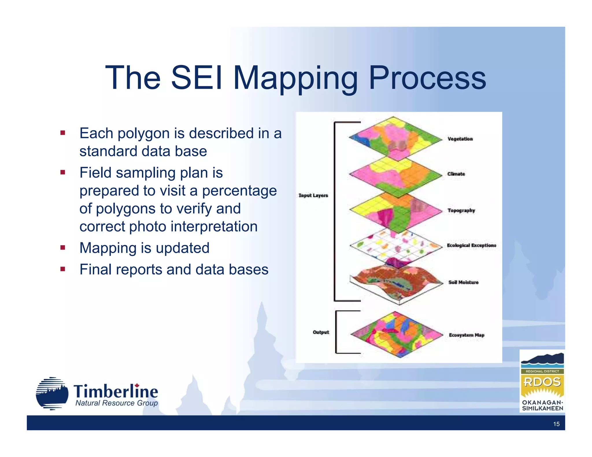
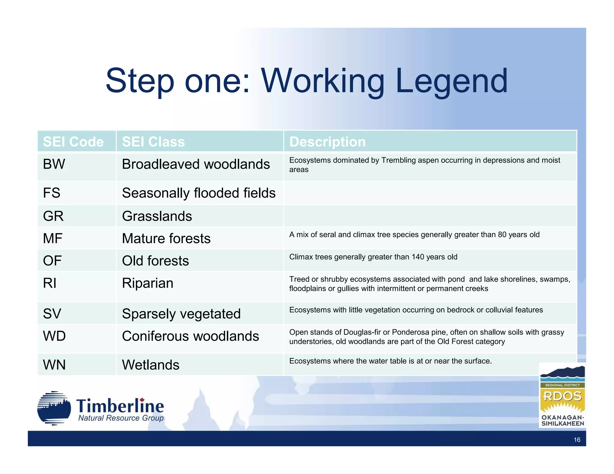
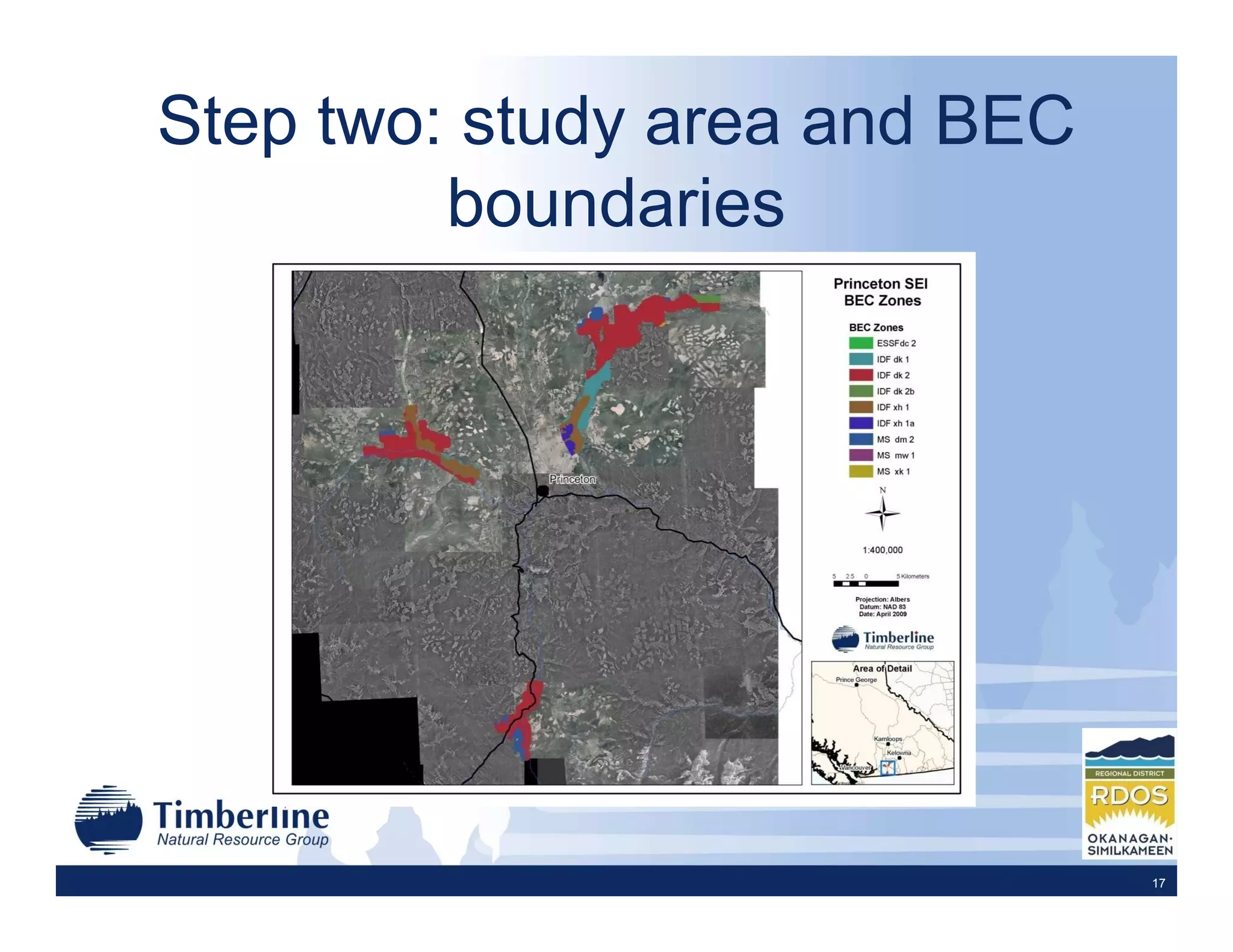
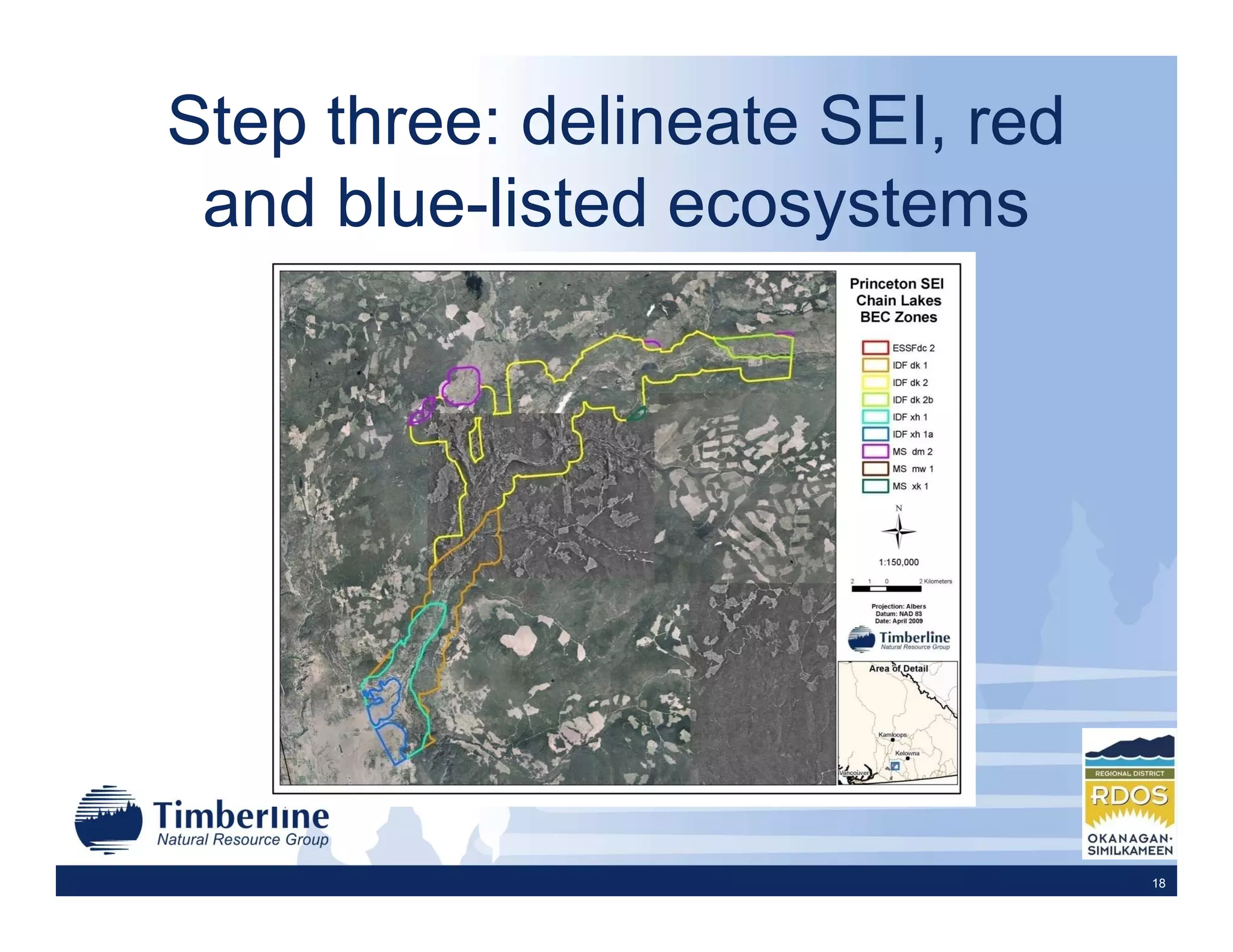
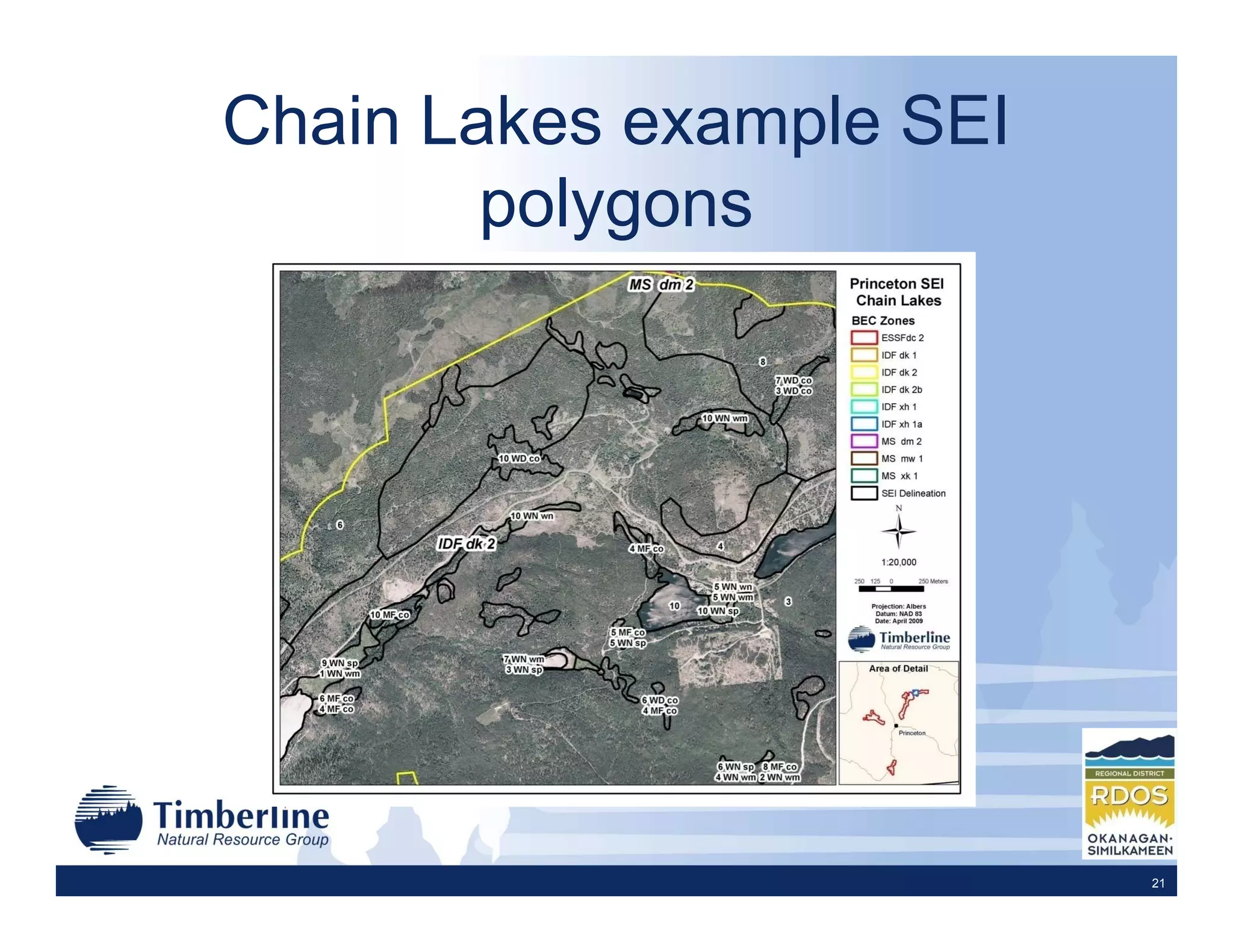
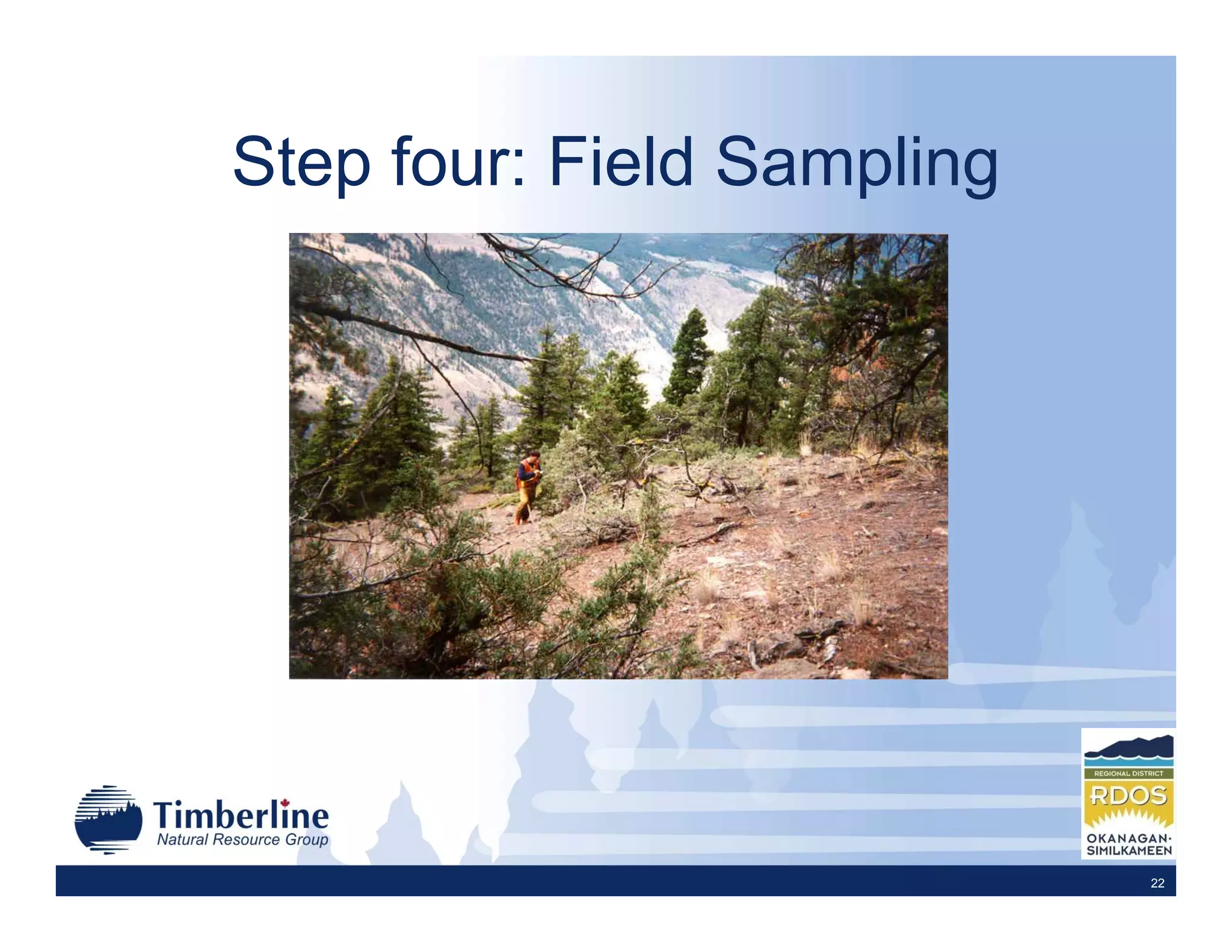
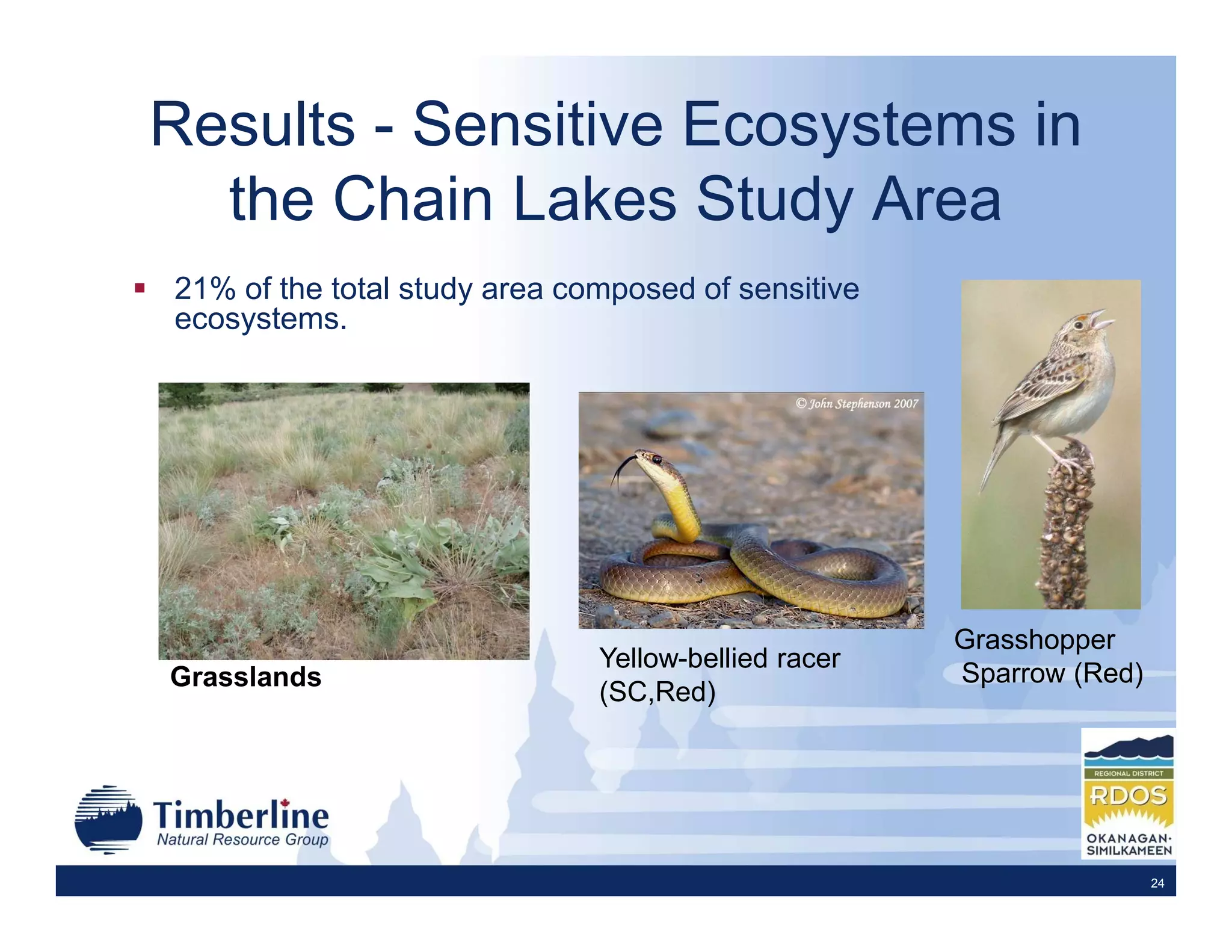
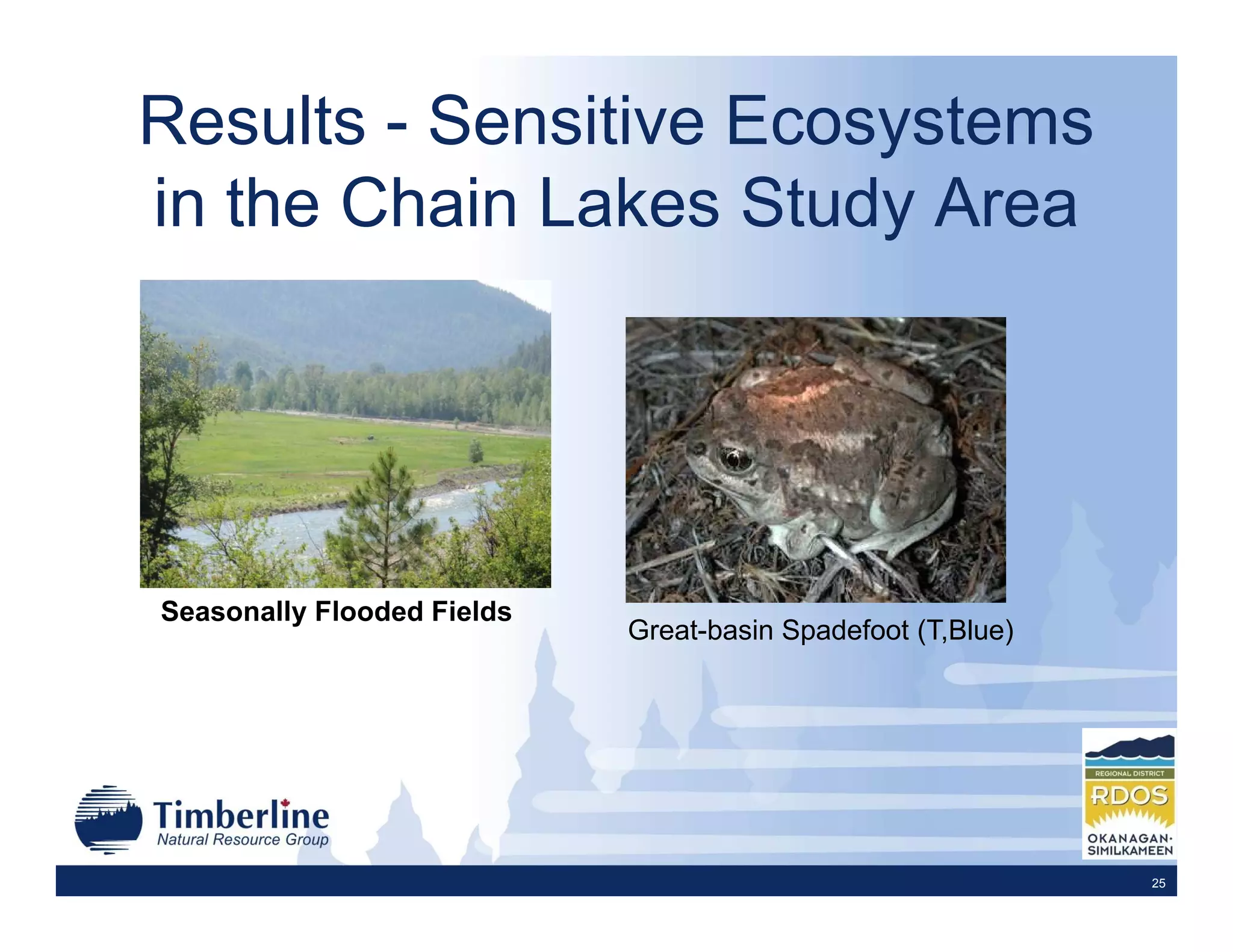
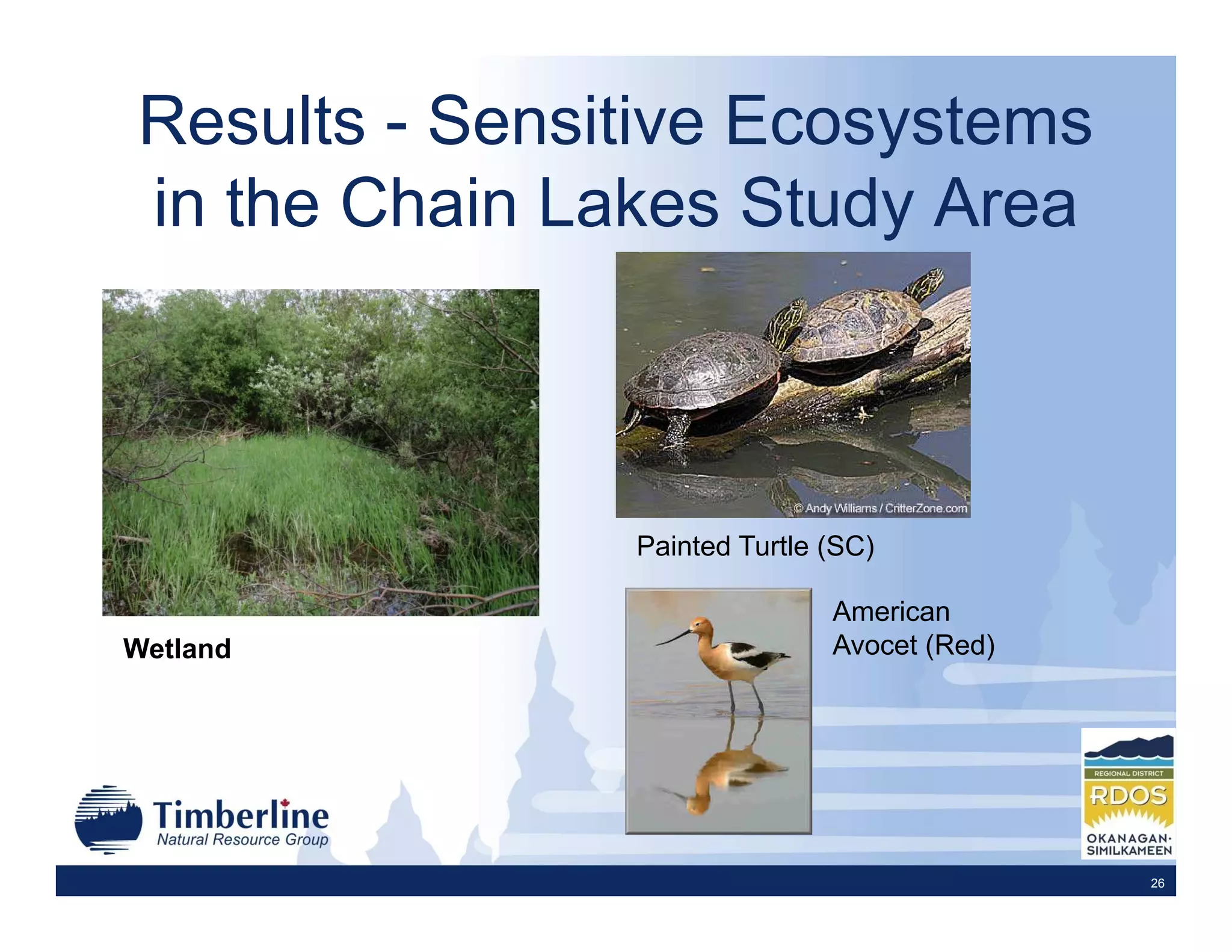
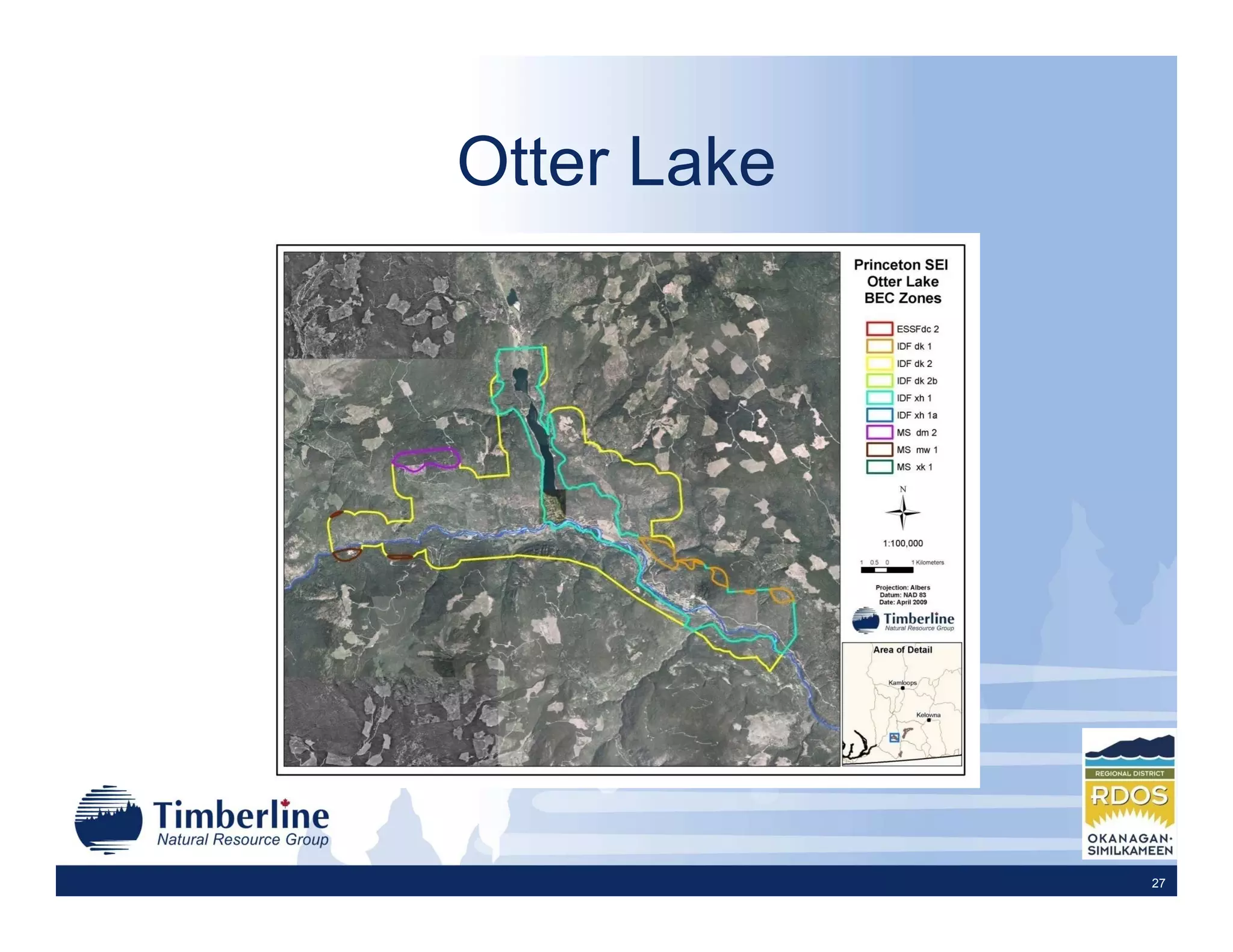
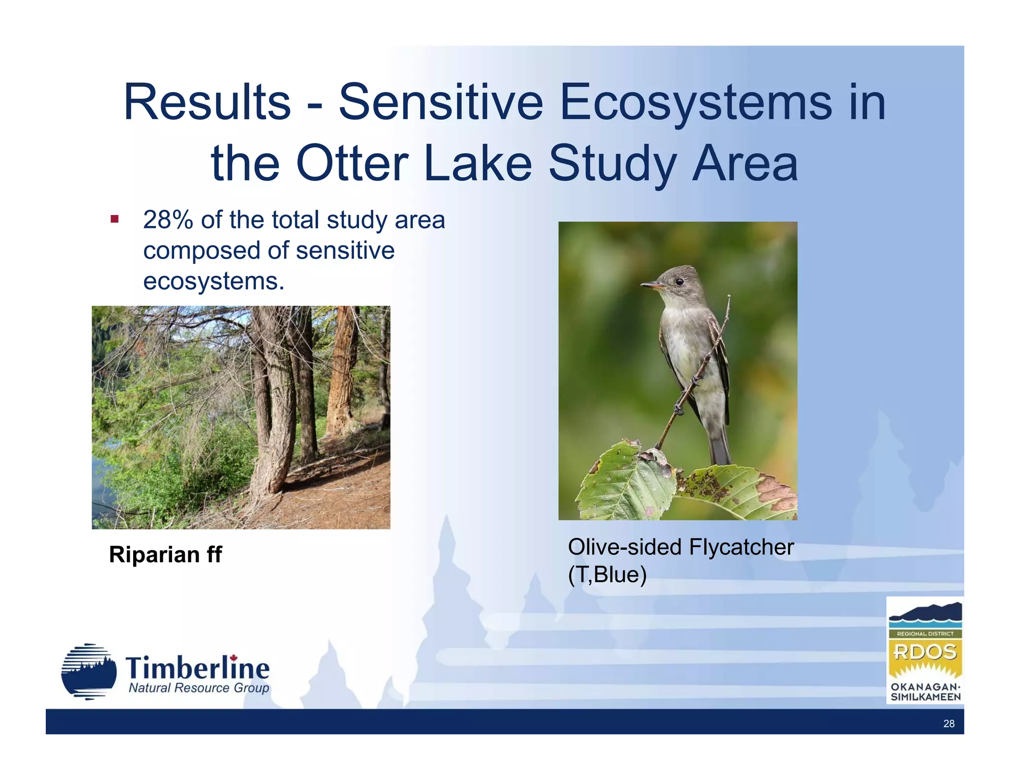
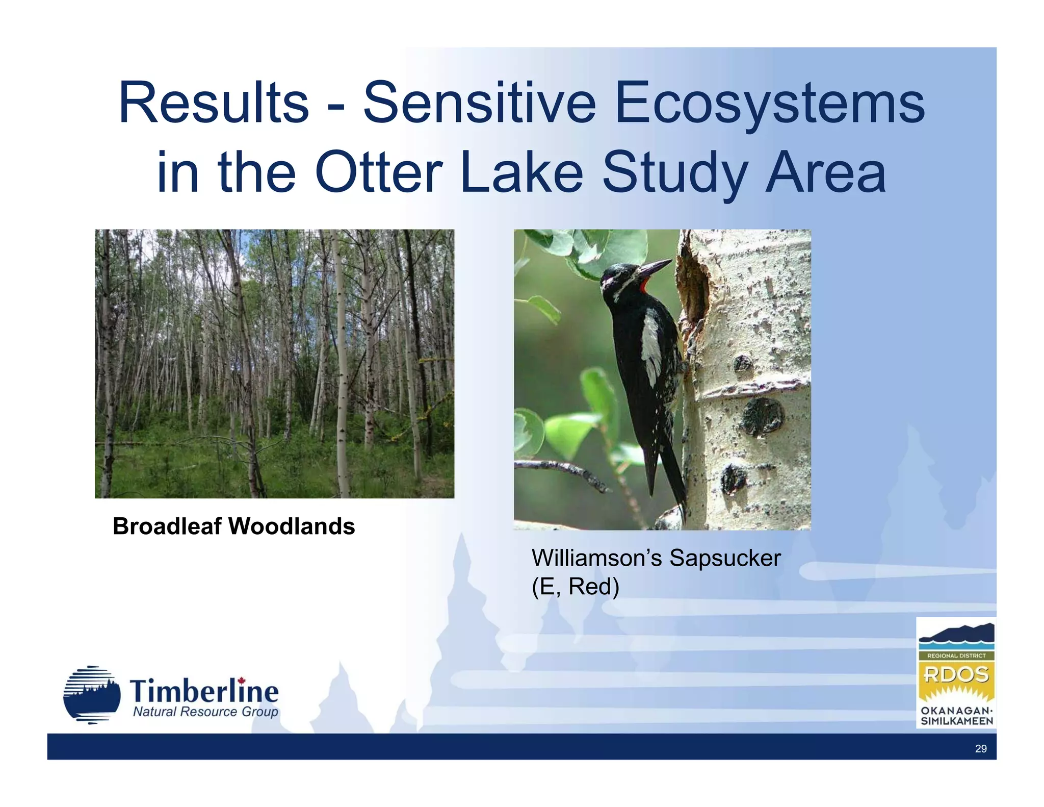
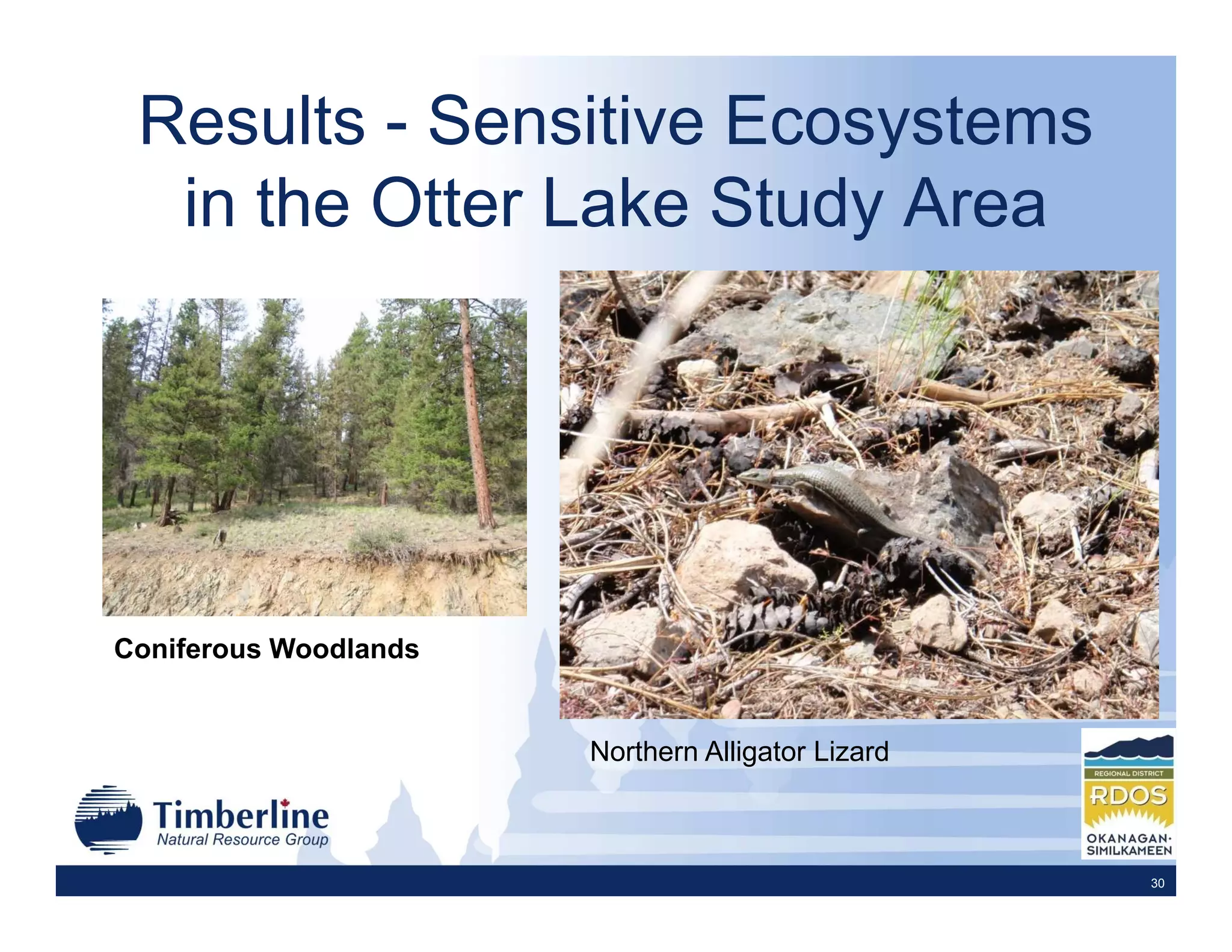
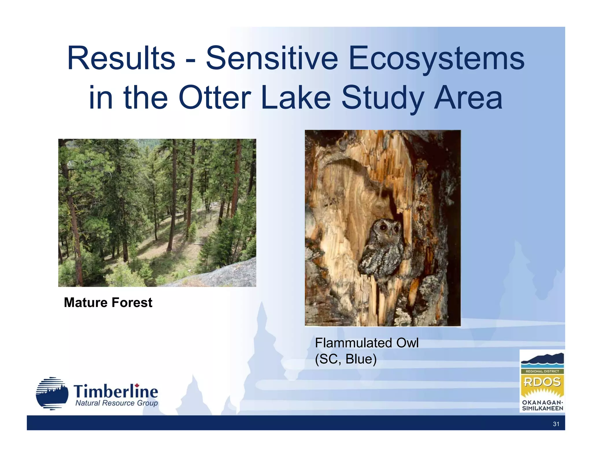
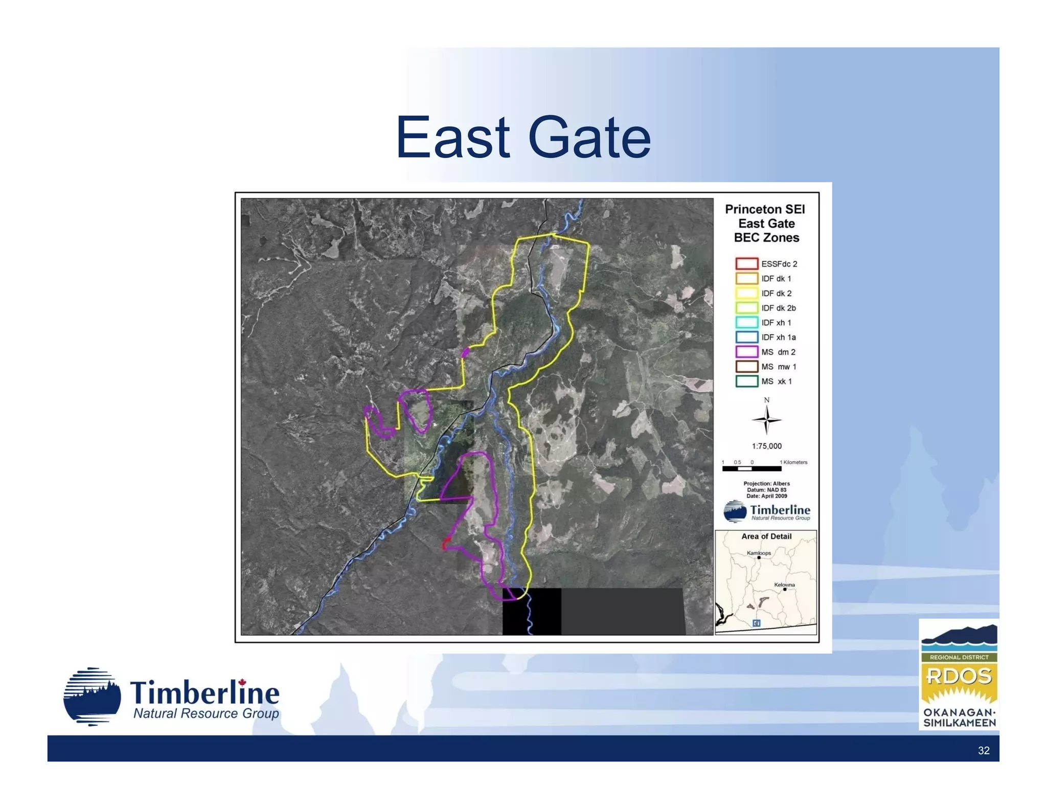
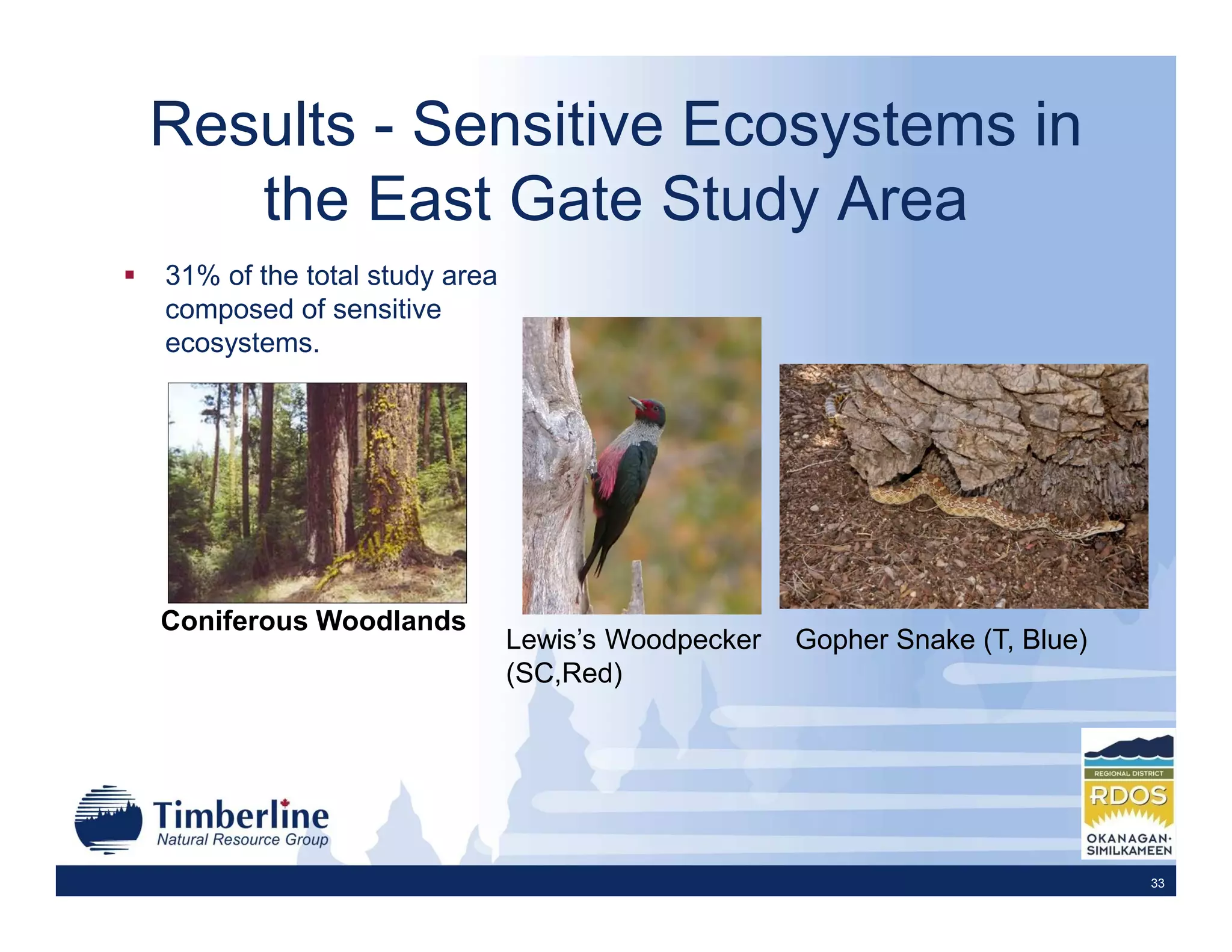
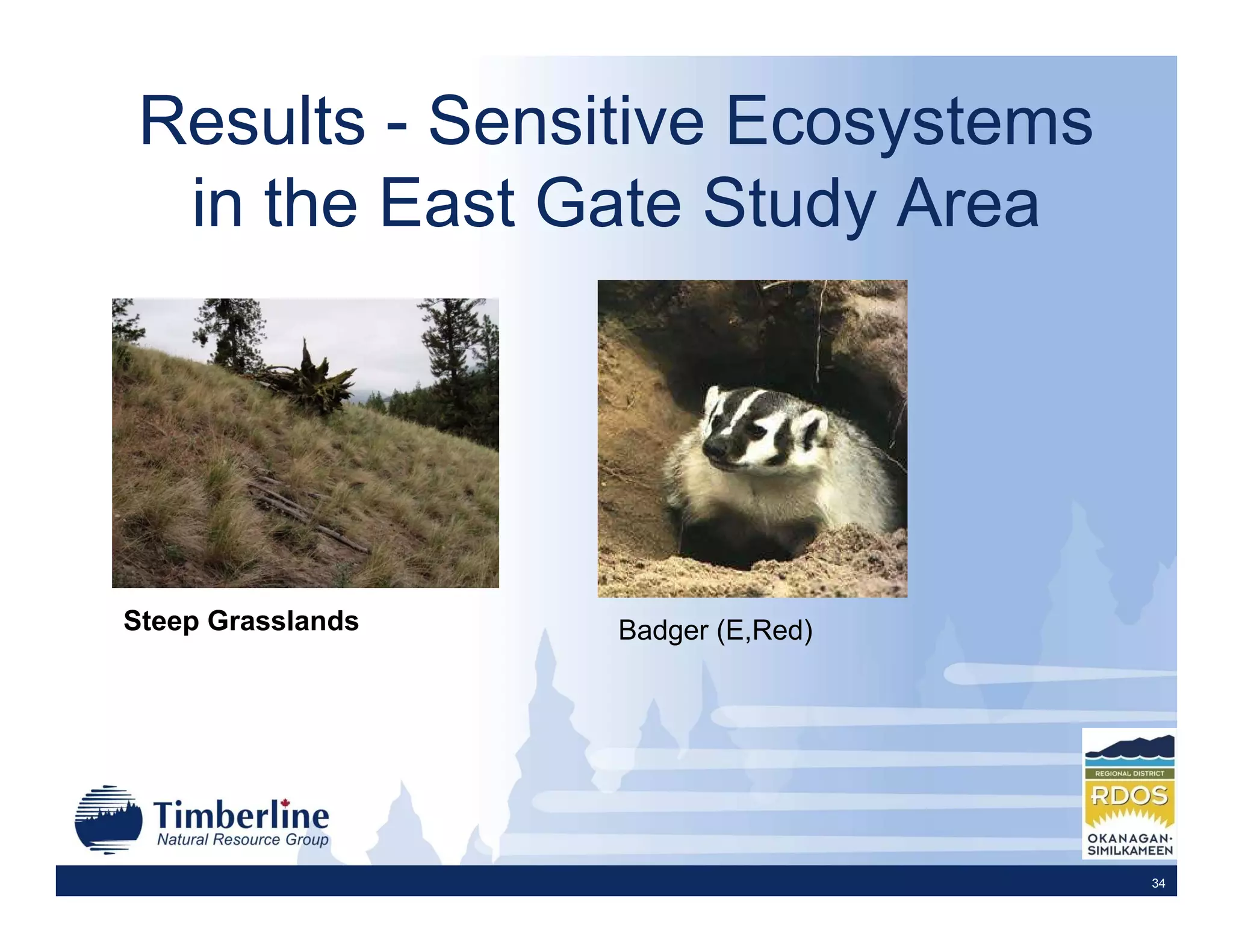
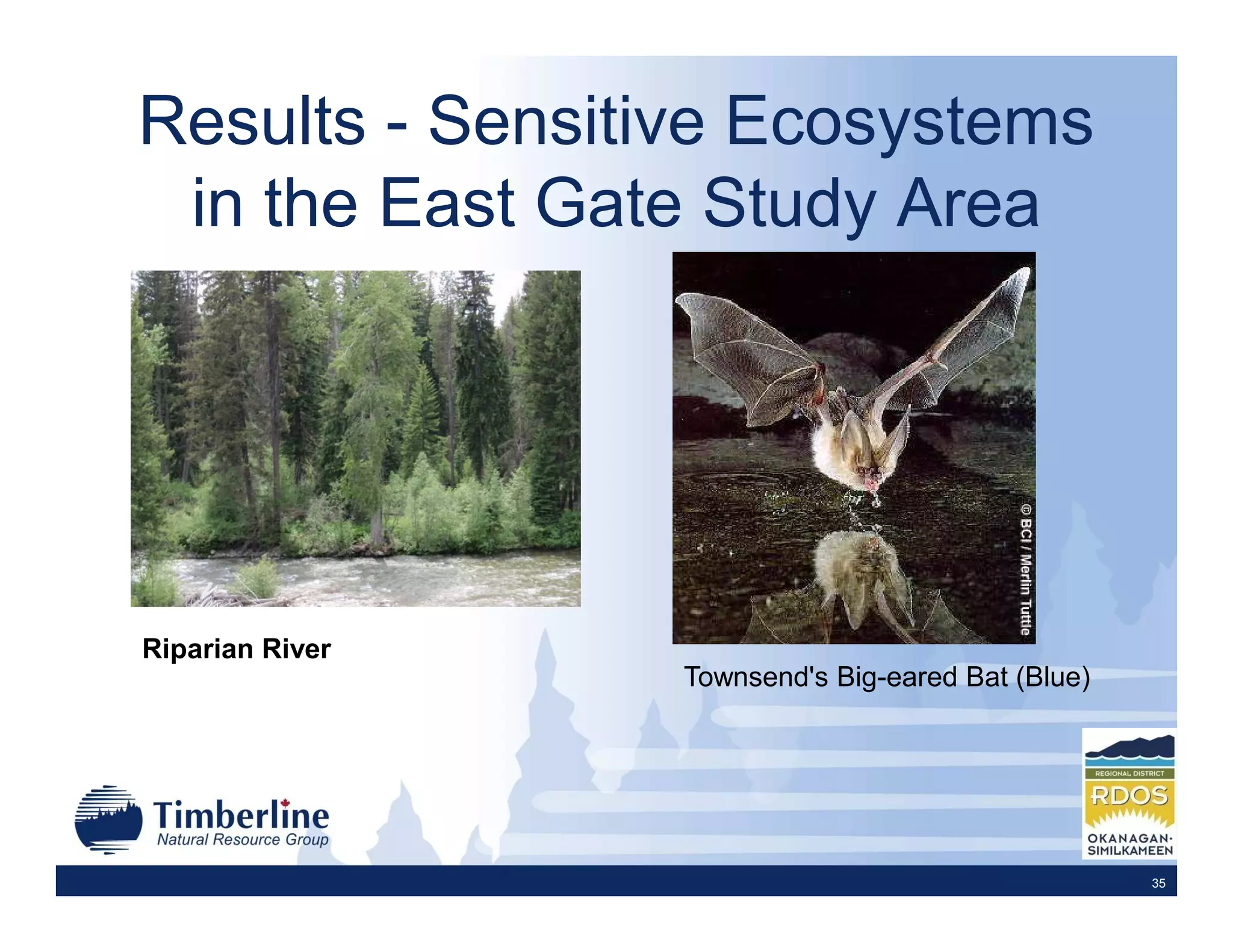
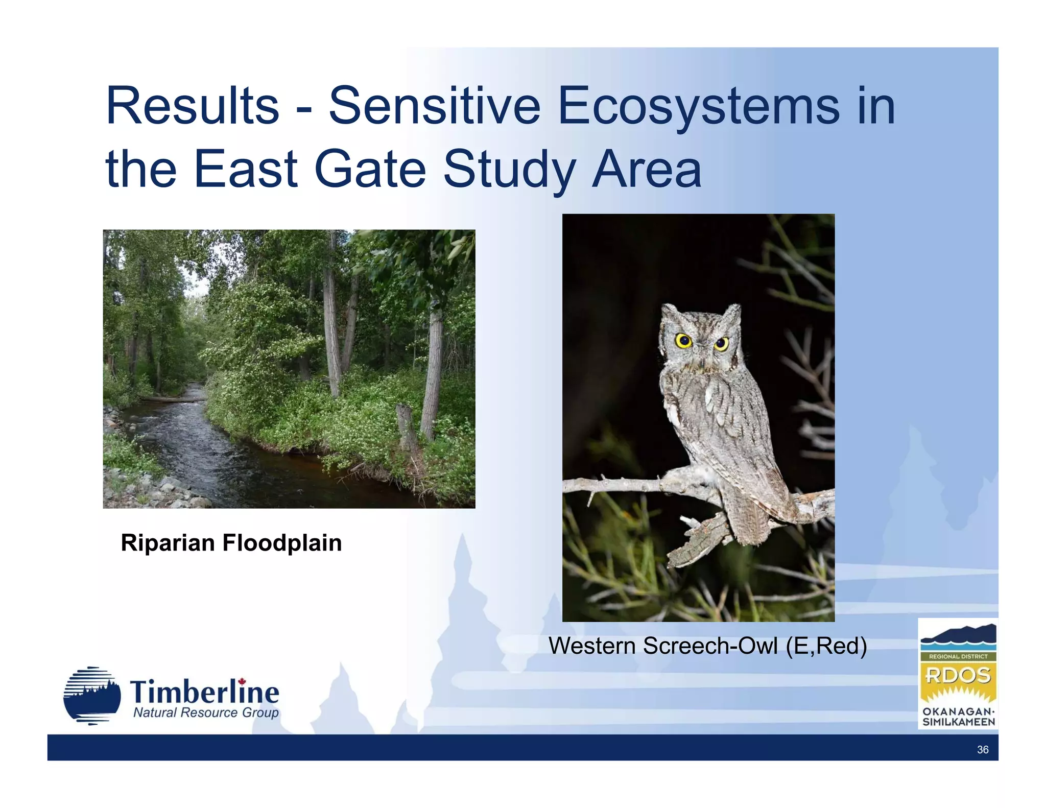
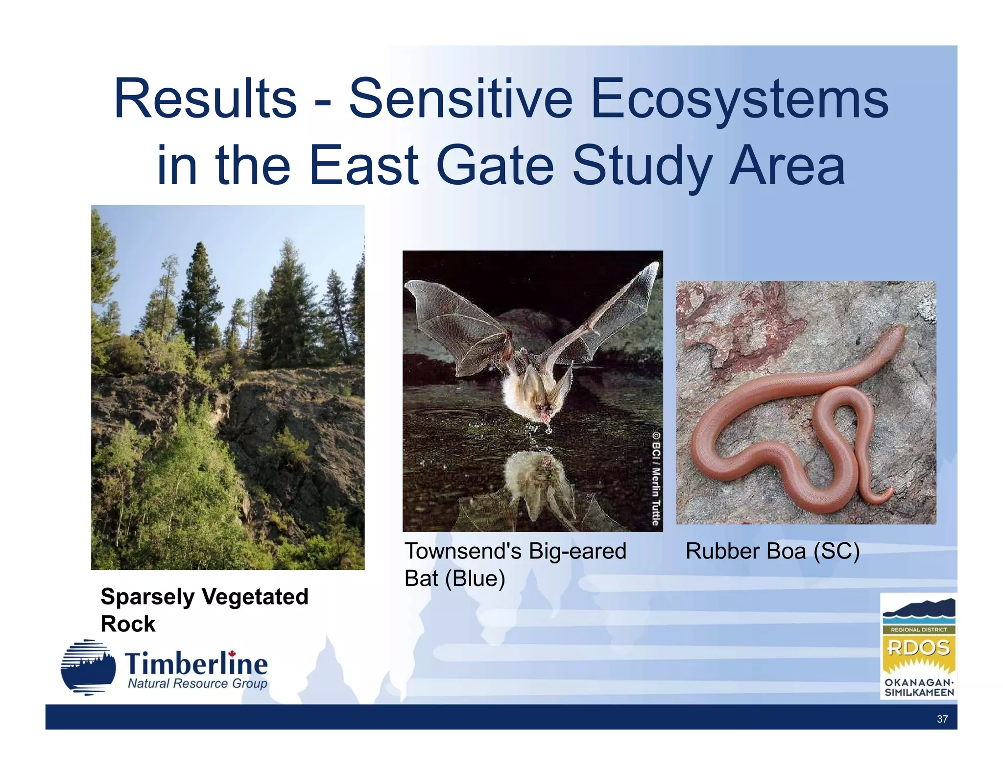
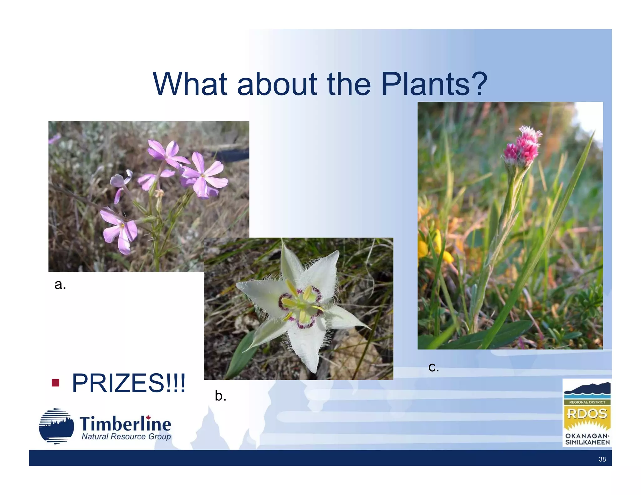
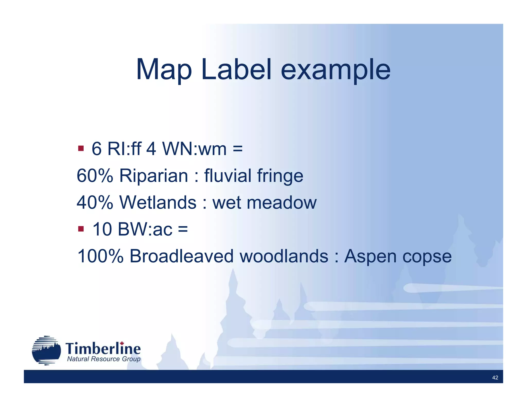
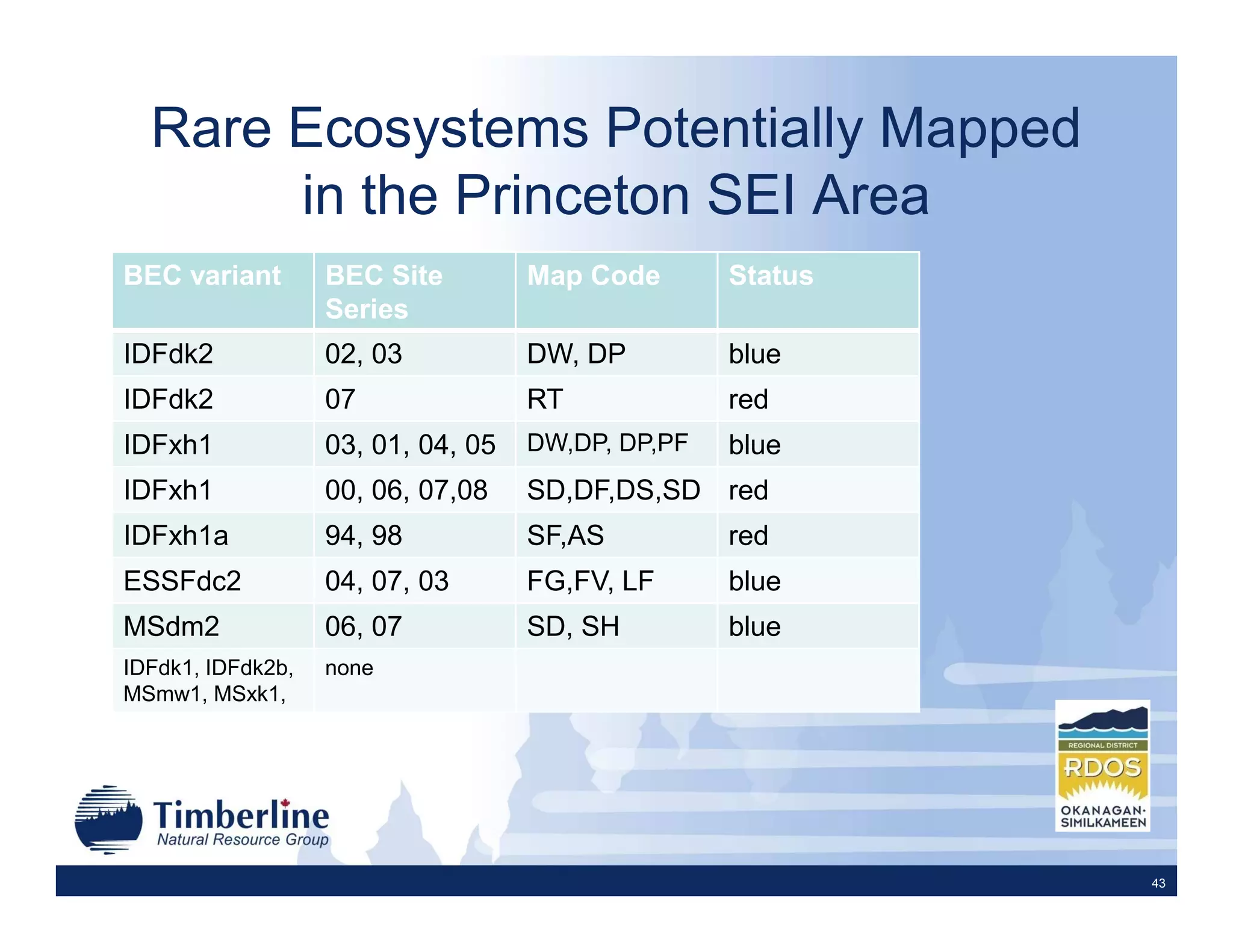
This document summarizes Sensitive Ecosystem Inventory (SEI) mapping projects conducted in the Chain Lakes, Otter Lake, and East Gate study areas of the Regional District of Okanagan Similkameen. The SEI process involves delineating sensitive ecosystem polygons from aerial photos, describing the ecosystems in a database, field verifying the mapping, and updating the maps. Sensitive ecosystems mapped included grasslands, wetlands, riparian areas, and woodlands. Rare and at-risk species associated with each ecosystem are also identified. The results found that 21-31% of each study area consisted of sensitive ecosystems that support species of conservation concern.