
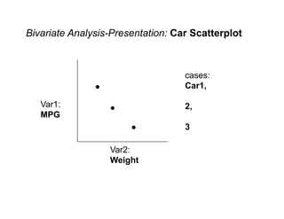
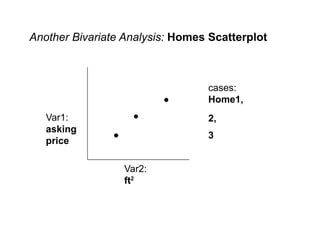
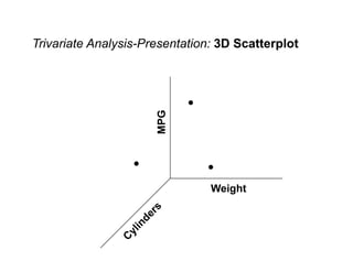
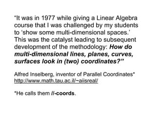
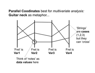
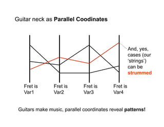
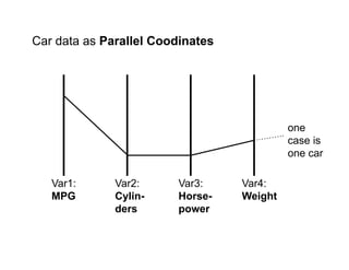

Geodemographics involves classifying and analyzing people based on their residential locations using data. It originated from early 20th century studies in London and Chicago that mapped neighborhoods and demographics. Advances in computing and data availability allowed multivariate analysis and clustering of census zones. Parallel coordinates is presented as an effective method for visualizing and analyzing multivariate data, with an example using car attributes. The document discusses various visualization techniques for bivariate, trivariate and multivariate data.


