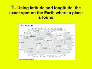
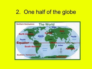
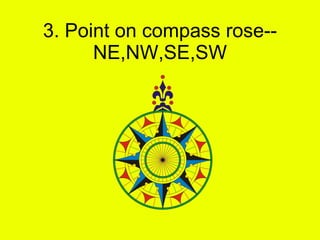
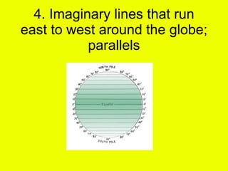
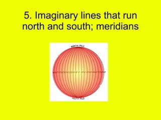
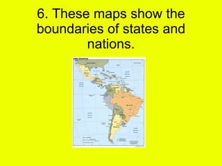
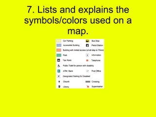
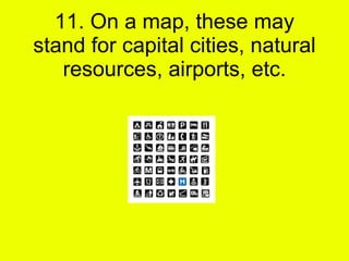
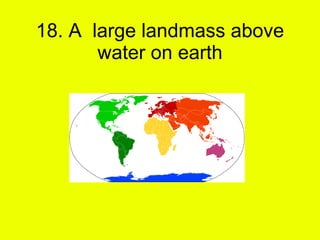
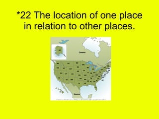
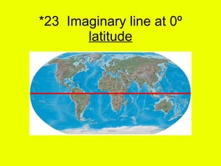
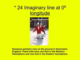
1. The document defines various geographic terms related to maps, including latitude and longitude, hemispheres, compass points, parallels, meridians, and map symbols.
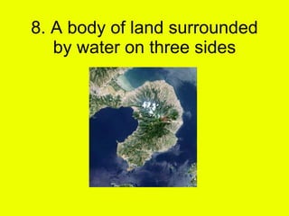
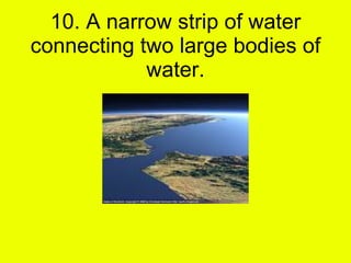
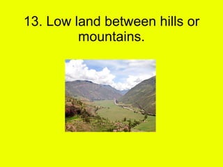
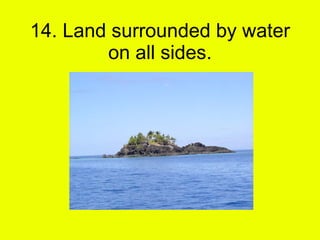
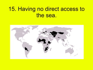
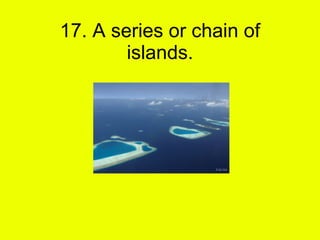
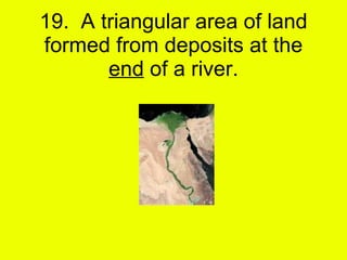
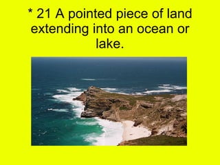
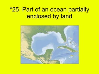
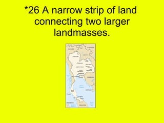
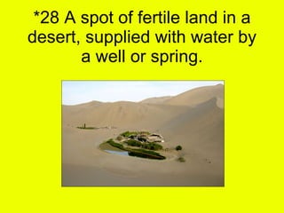
2. Specific landforms and bodies of water are defined such as peninsulas, isthmuses, archipelagos, deltas, and oases.
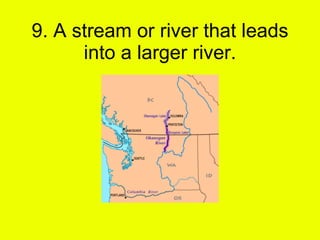
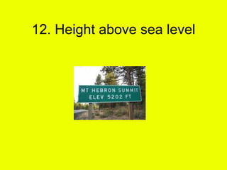
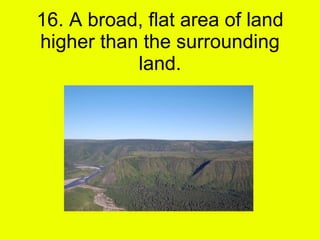
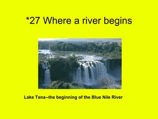
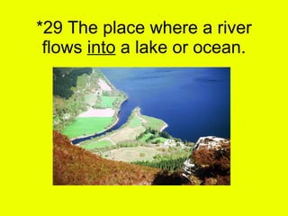
3. Elevation terms like altitude and plains are explained as well as geographic locations like headwaters and river mouths.