Download to read offline
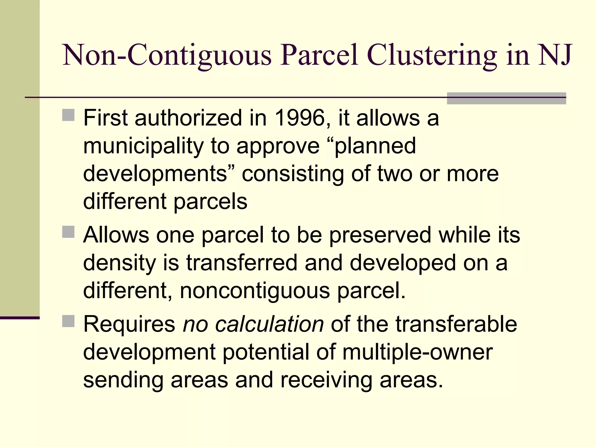
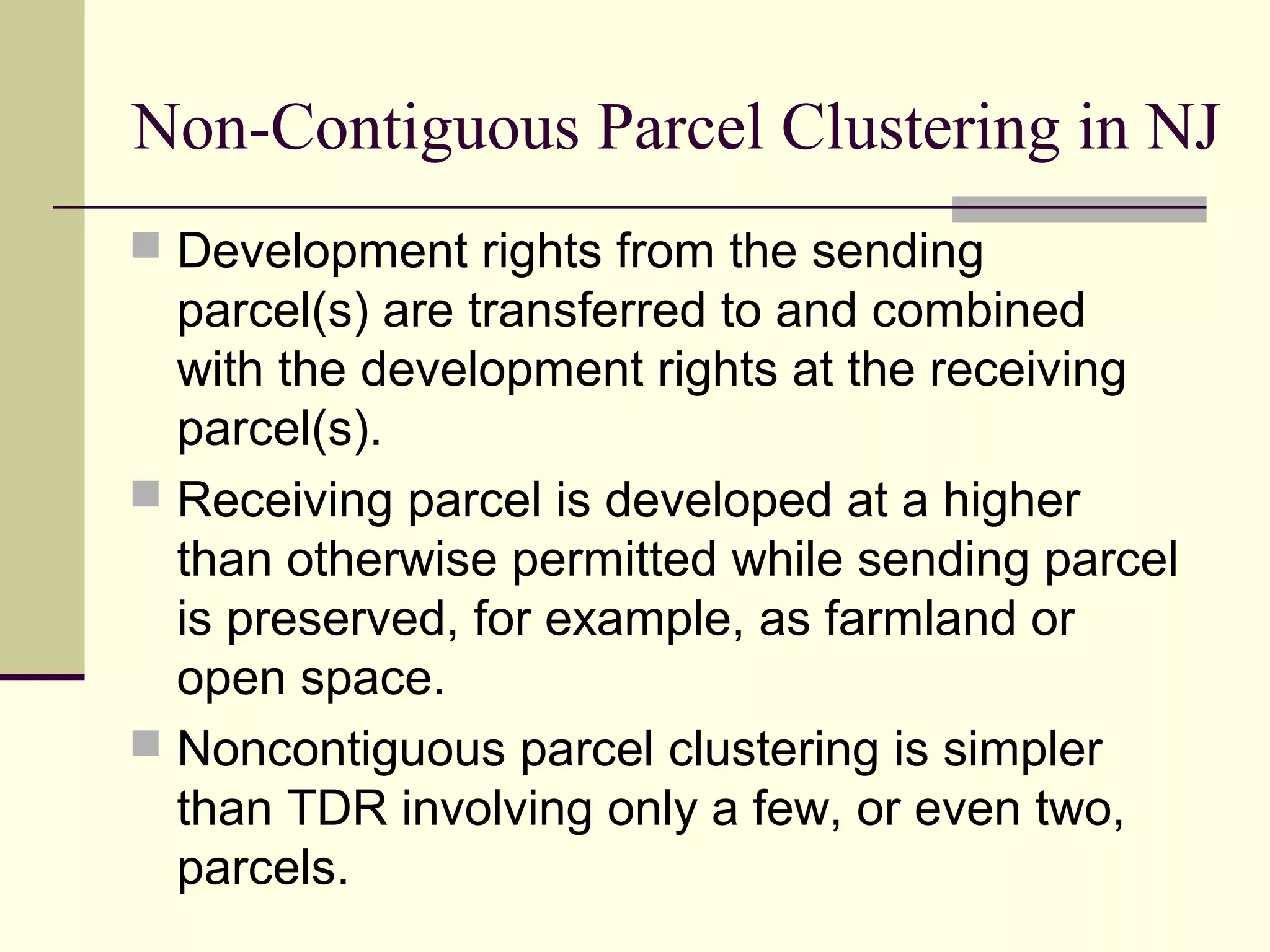
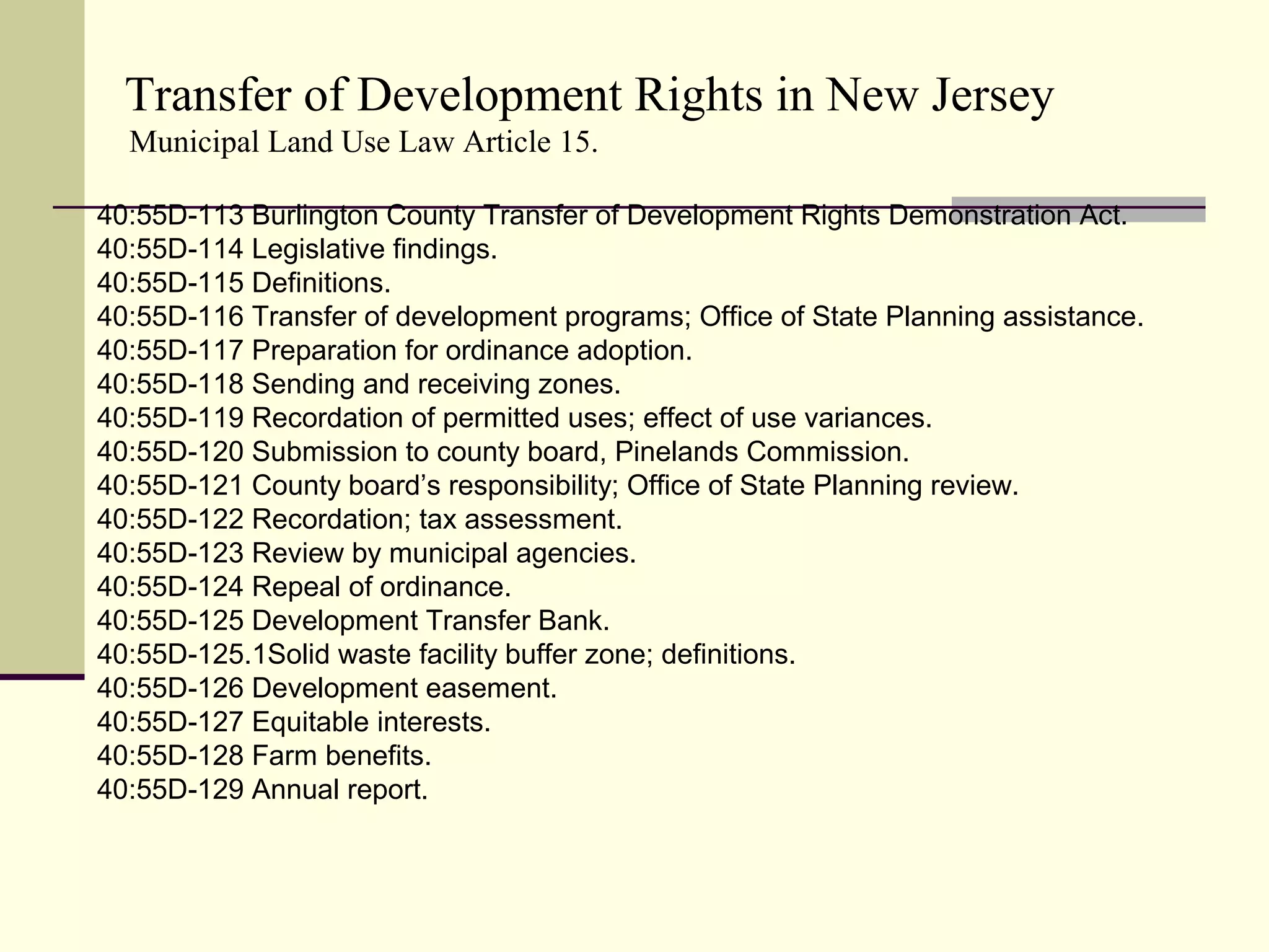
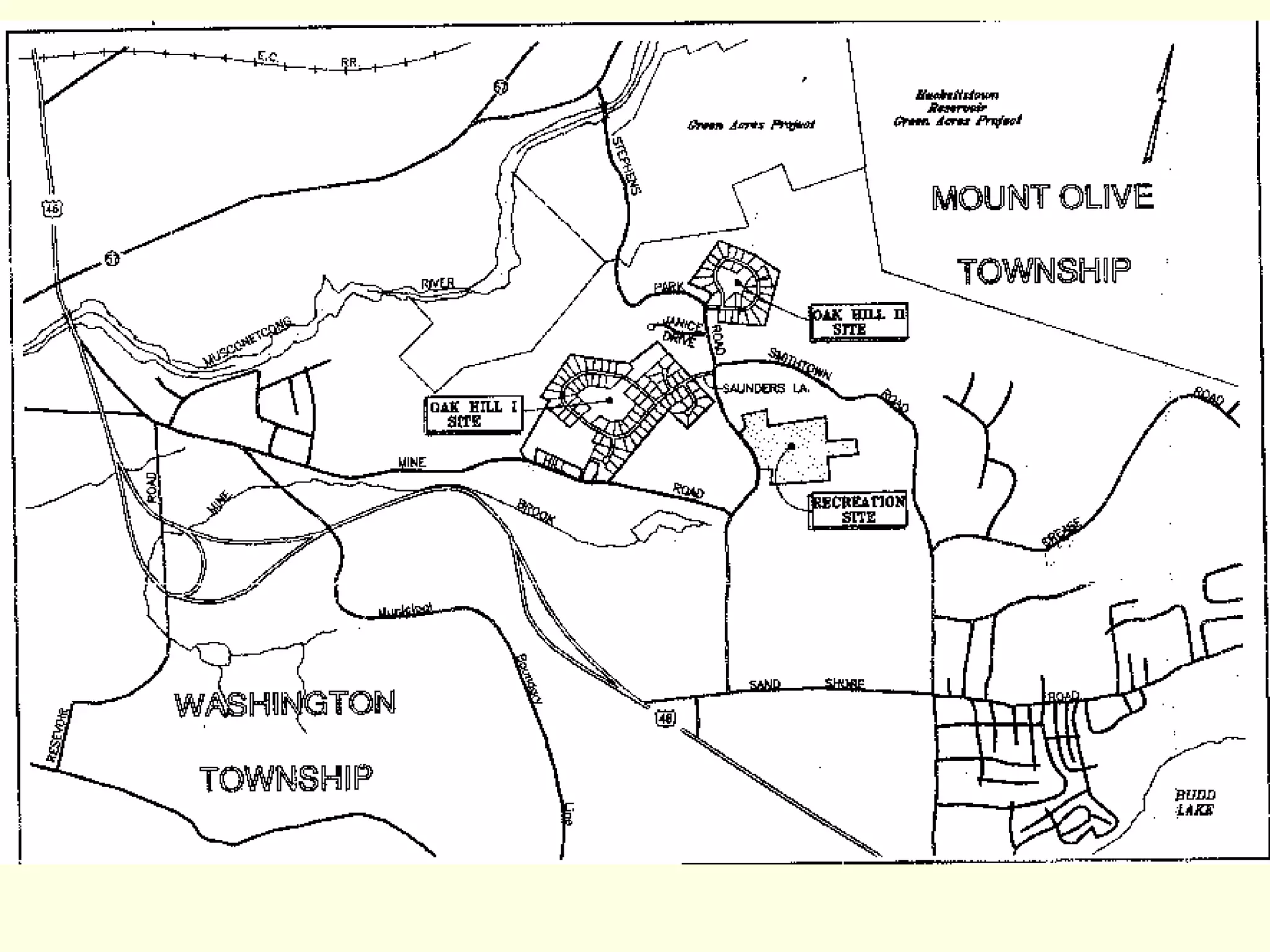
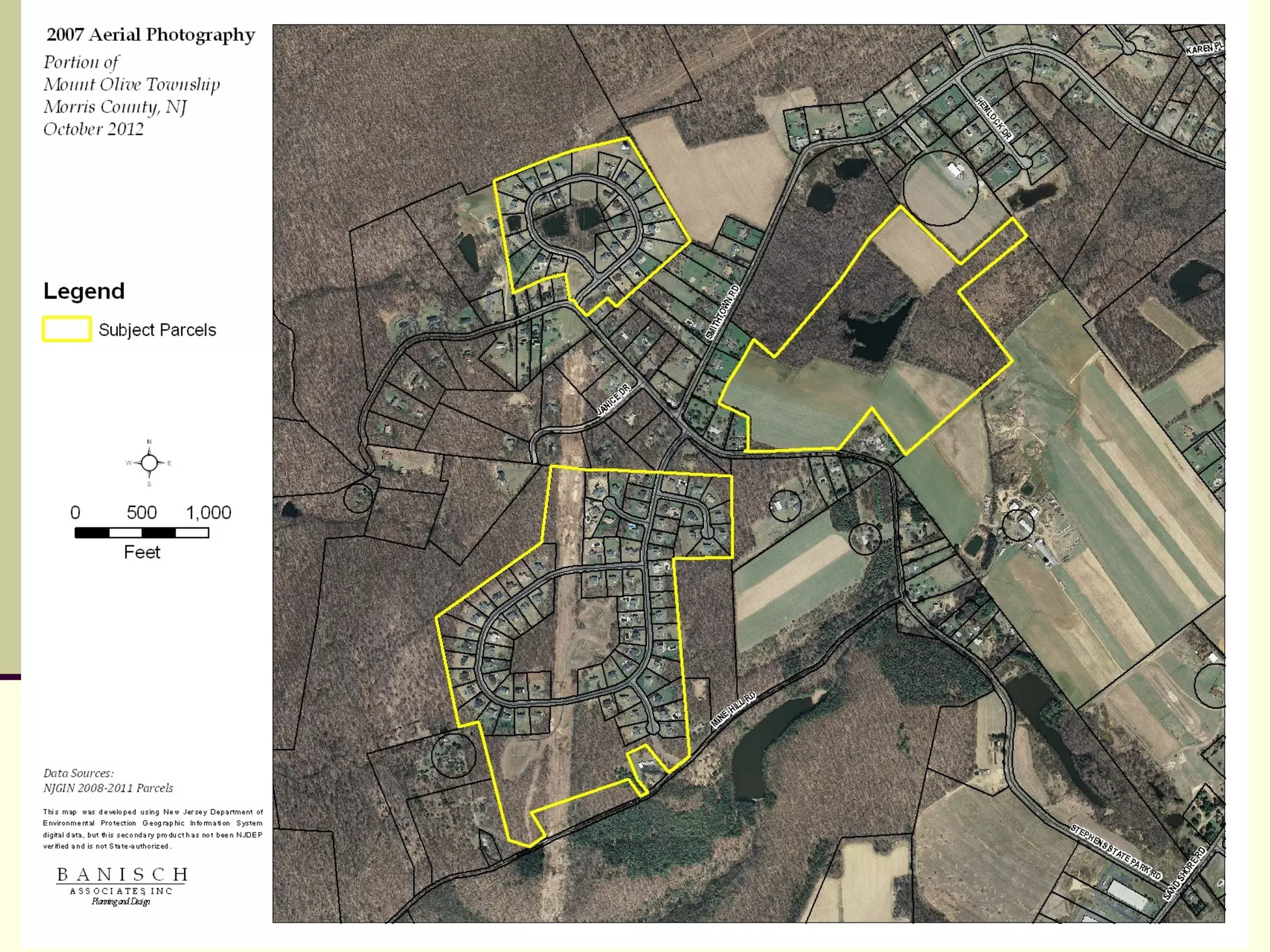
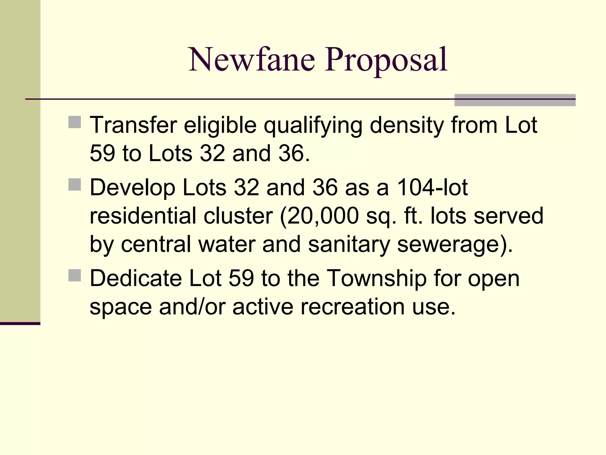
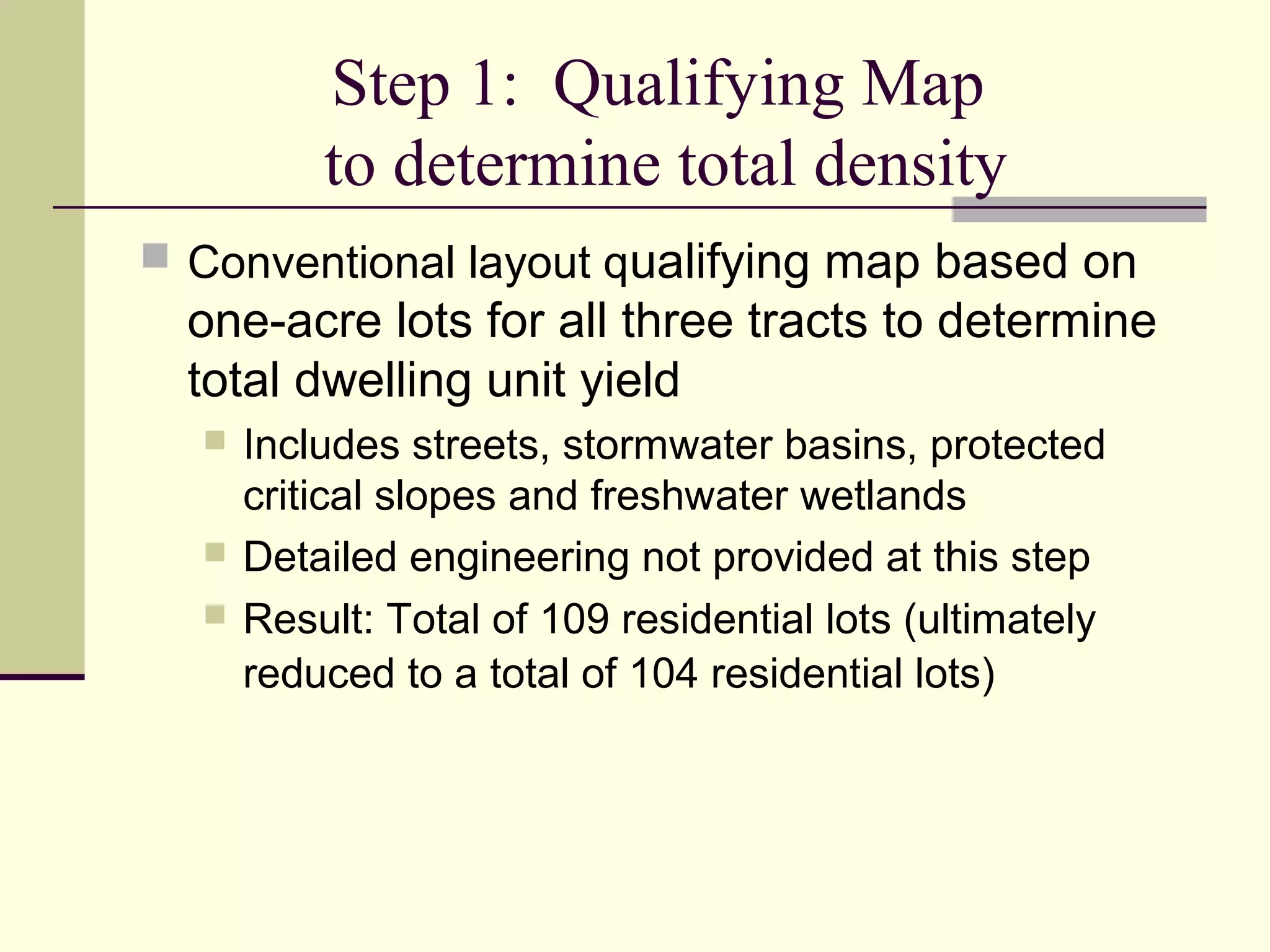
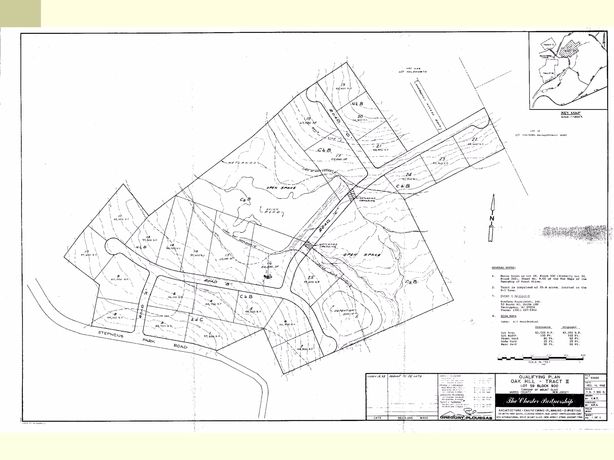
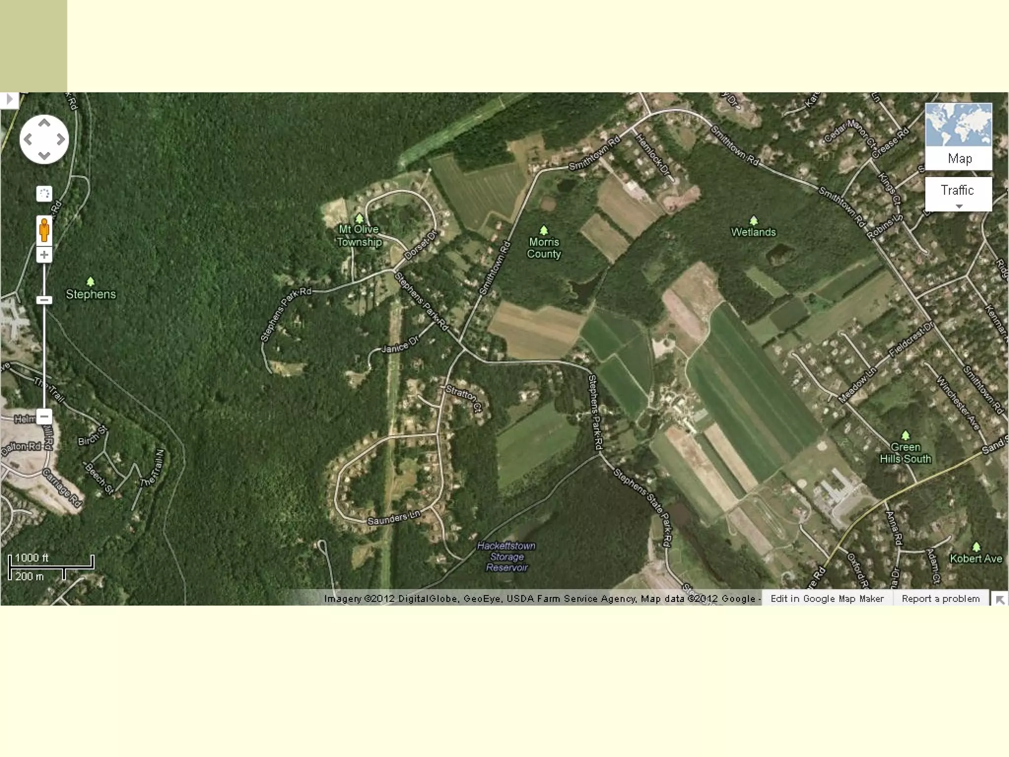
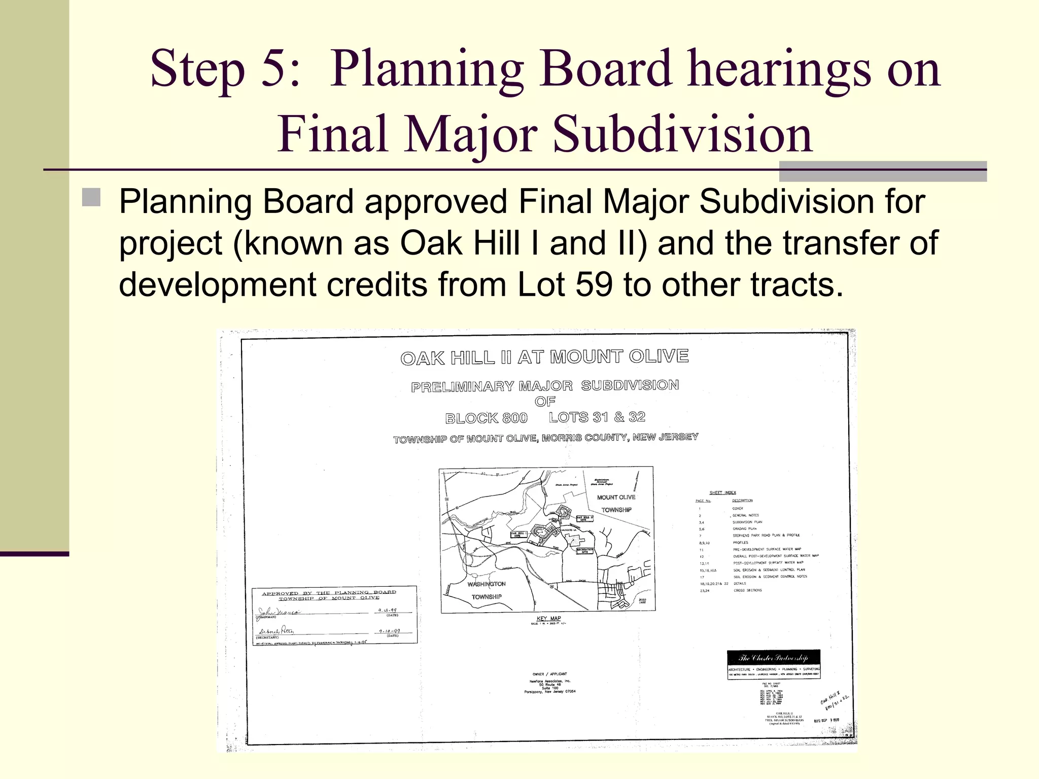
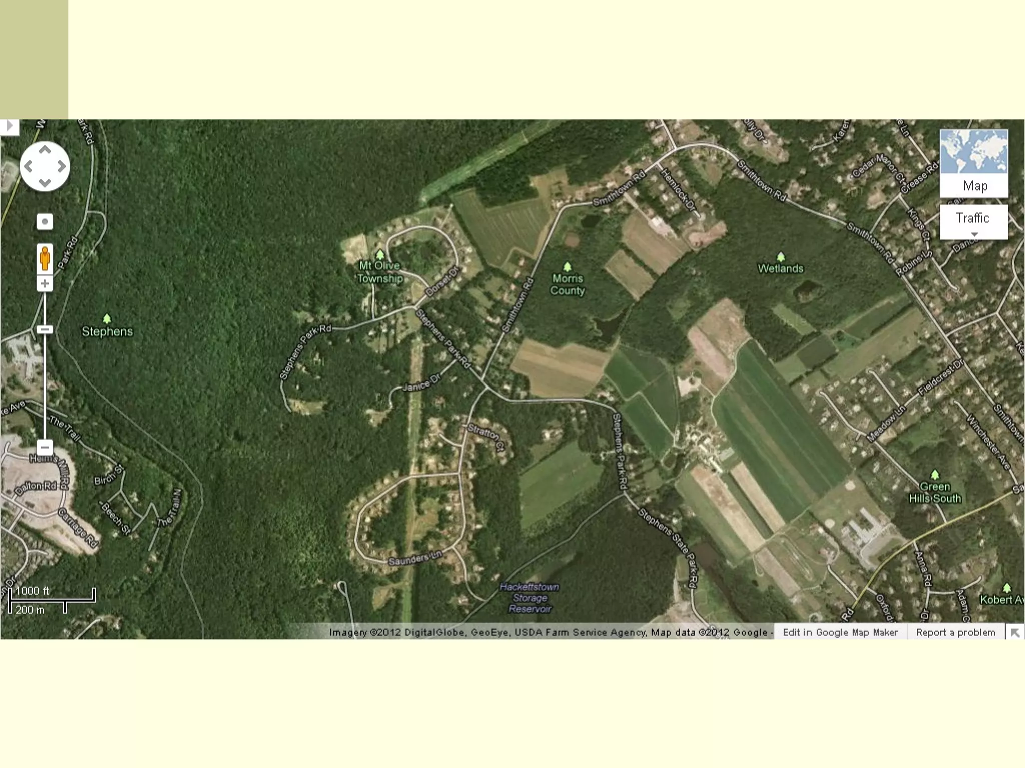
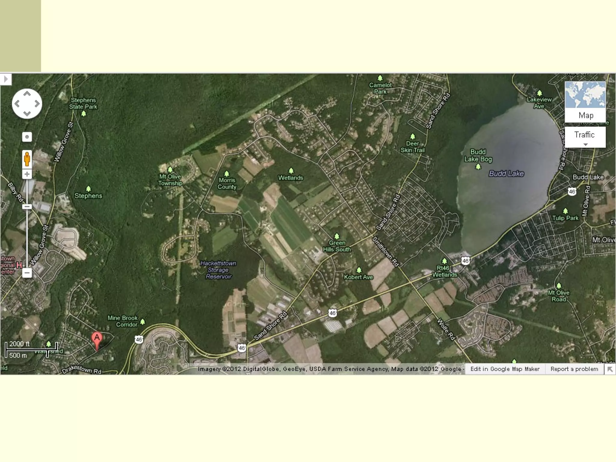
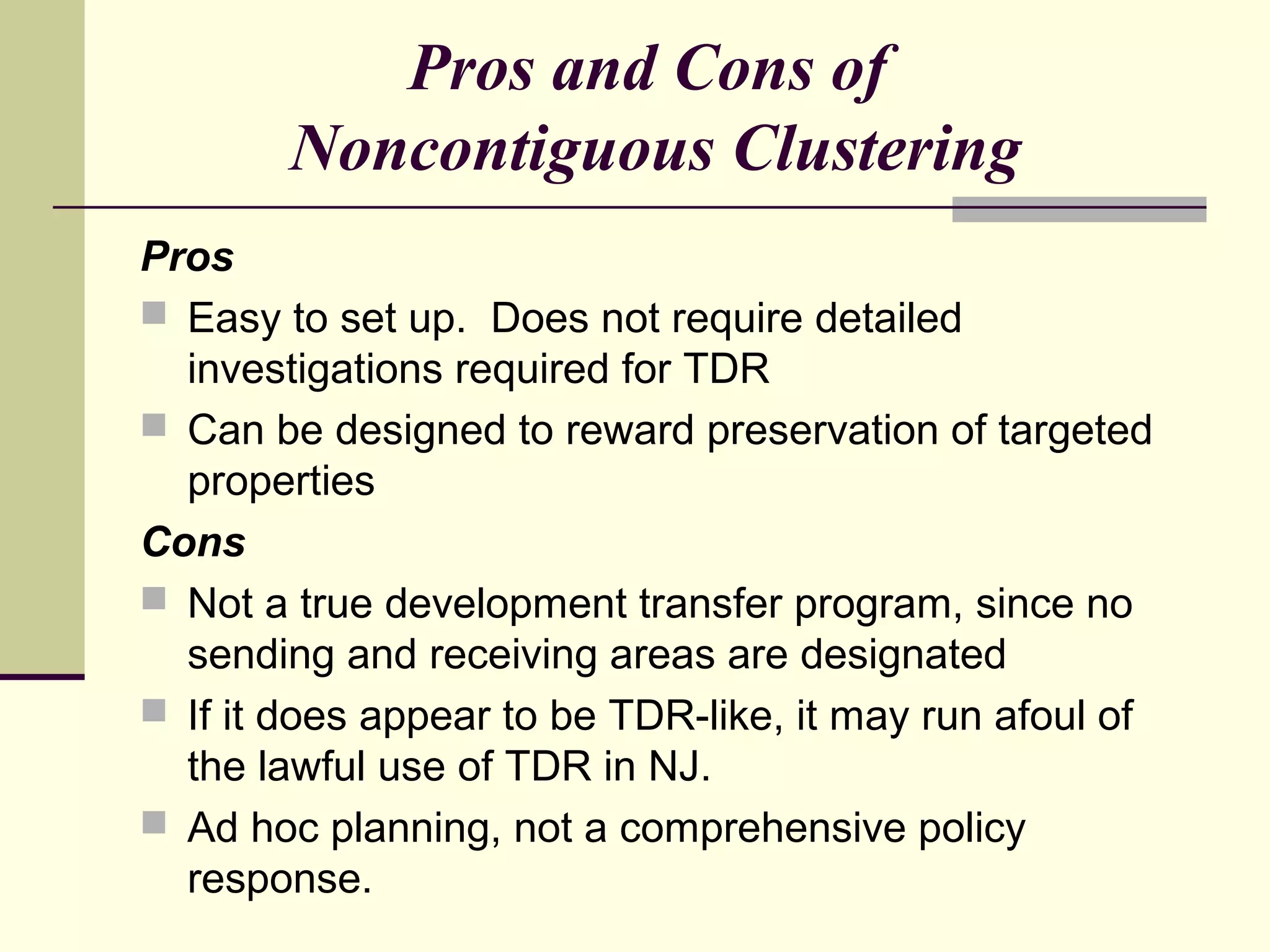
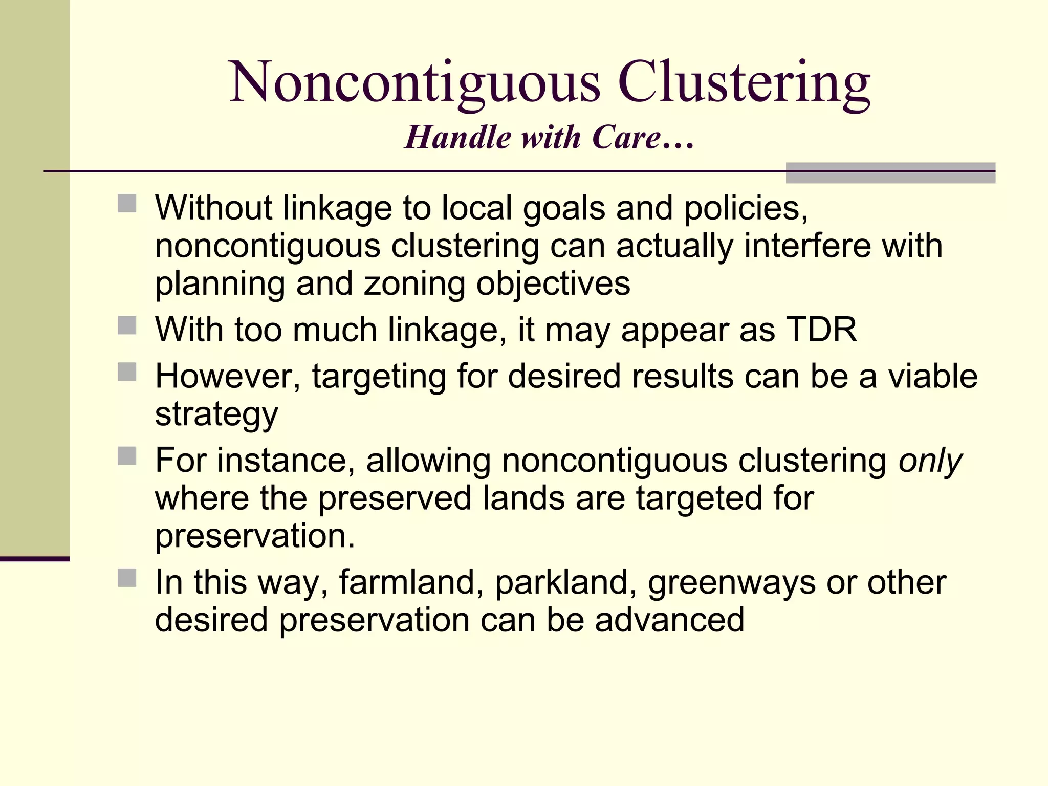

The document discusses non-contiguous parcel clustering, a planning technique used in New Jersey that allows development rights from one parcel to be transferred to a non-adjacent parcel for higher density development, with the sending parcel preserved as open space, and provides a case study of this technique being used successfully to preserve farmland in Mount Olive Township. While simpler than traditional transfer of development rights programs, non-contiguous clustering requires careful implementation to avoid undermining land use goals if not linked to a municipality's preservation objectives.


