Download to read offline
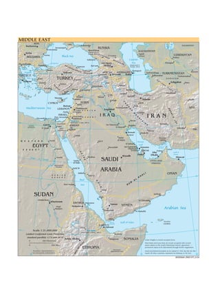
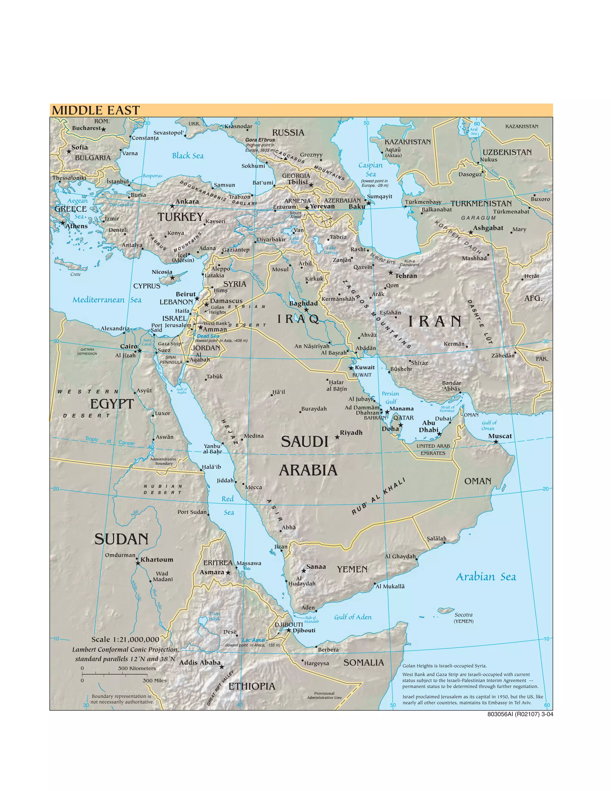

1. The document is a map of the Middle East region showing the countries of the Middle East and surrounding areas including their major cities and physical features. 2. The map shows the countries of Turkey, Syria, Iraq, Iran, Afghanistan, Pakistan and others in the region along with their capital cities and other major population centers. 3. Major physical features like the Black Sea, Caspian Sea, Persian Gulf and Red Sea are indicated along with major mountain ranges like the Caucasus and Zagros mountains.