Downloaded 15 times
![Location-based services, conspicuous mobility, and the location-aware future Matthew W. Wilson Assistant Professor of Geography Ball State University [email_address] 15 April 2011](https://image.slidesharecdn.com/wilsonppt20110406v4-110418125546-phpapp01/75/Location-based-services-conspicuous-mobility-and-the-location-aware-future-1-2048.jpg)


![Google Map Marker 2010 by [ Mooi ], Flickr](https://image.slidesharecdn.com/wilsonppt20110406v4-110418125546-phpapp01/75/Location-based-services-conspicuous-mobility-and-the-location-aware-future-44-2048.jpg)

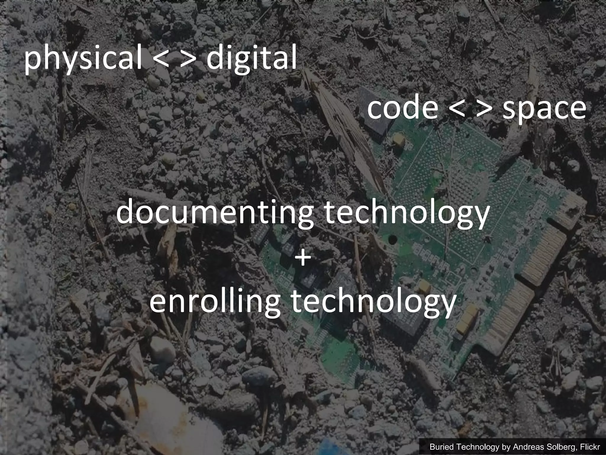
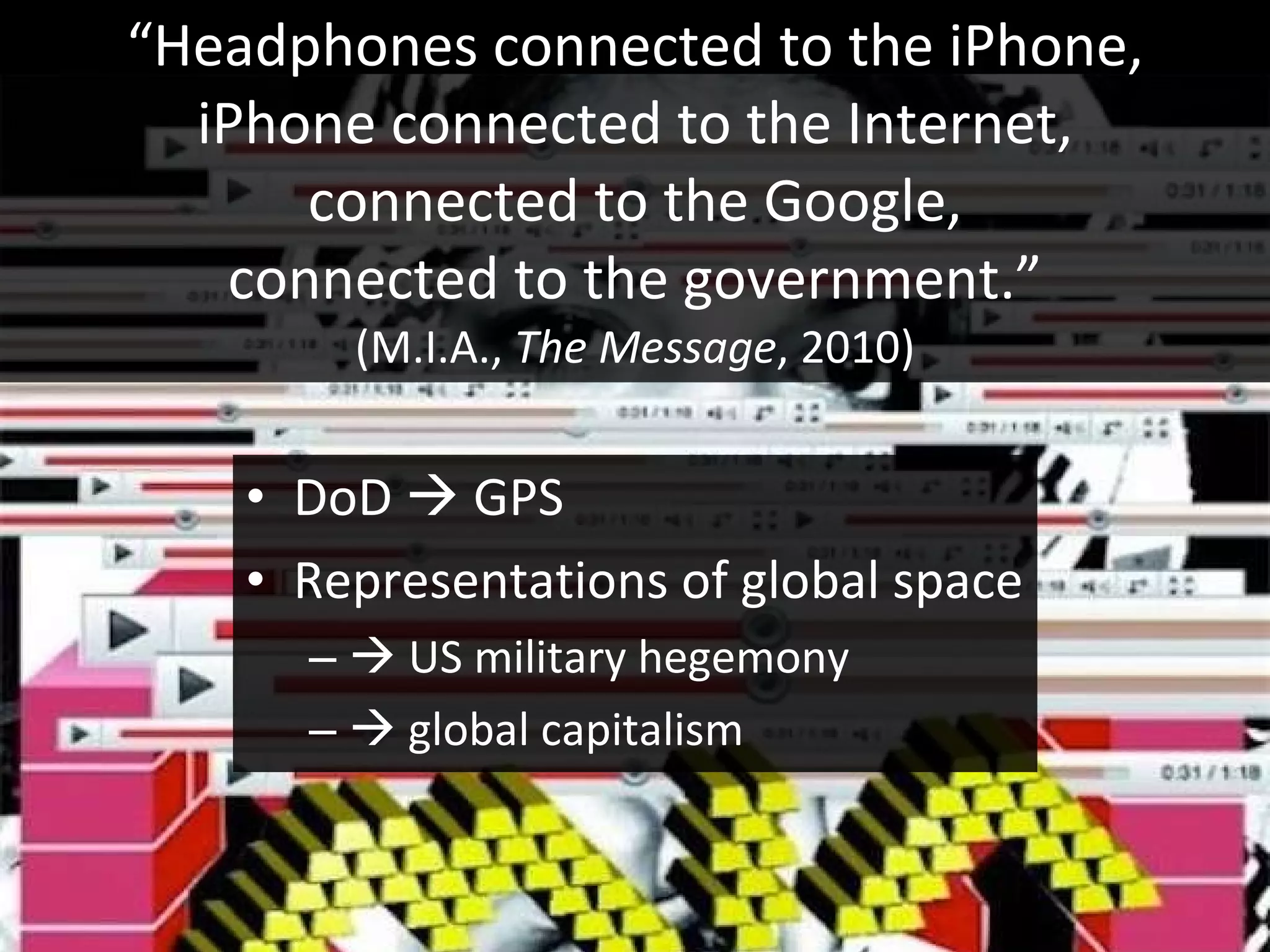
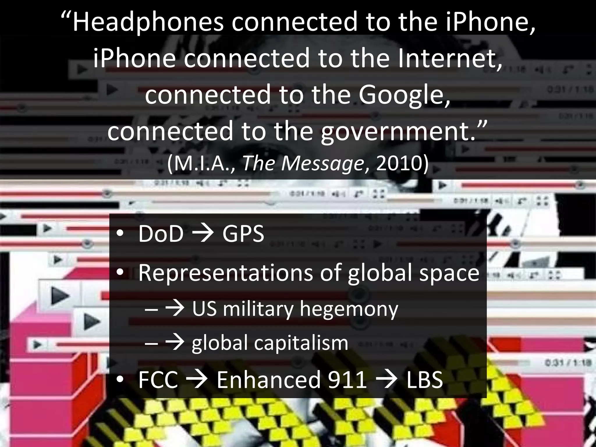
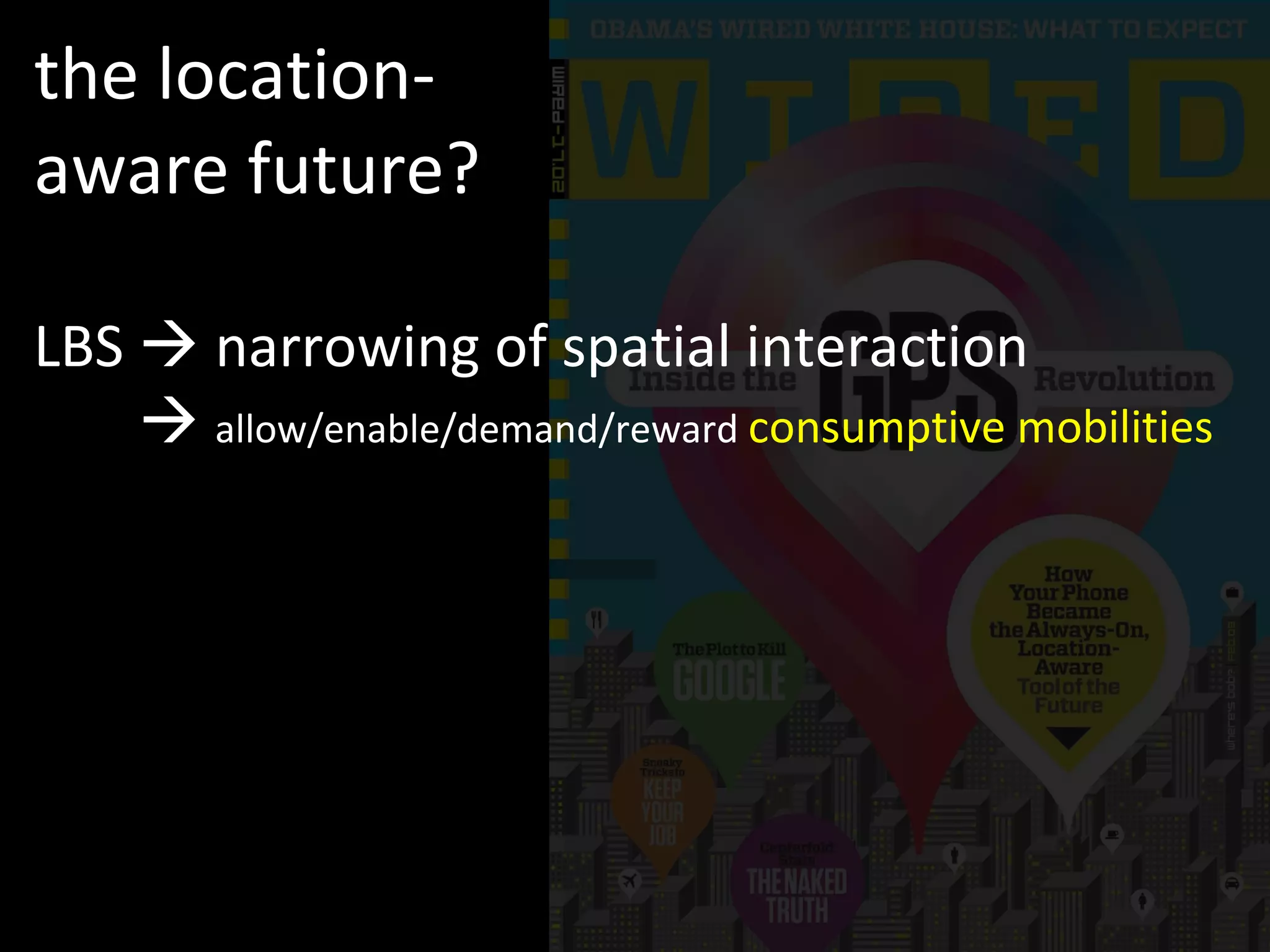
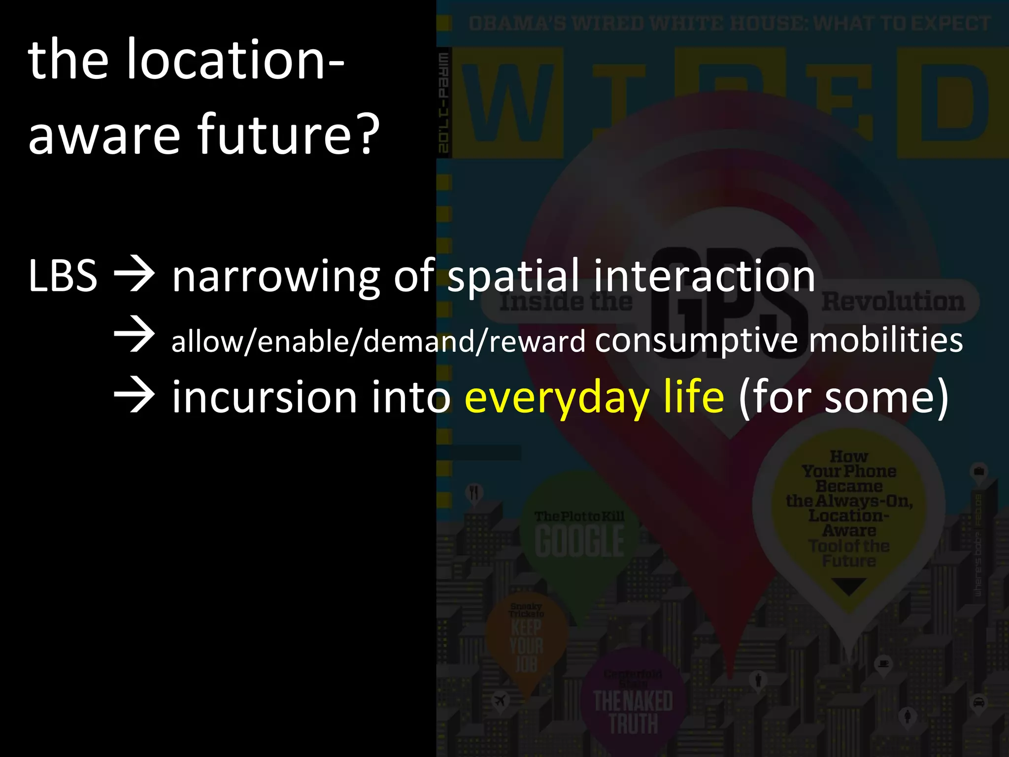
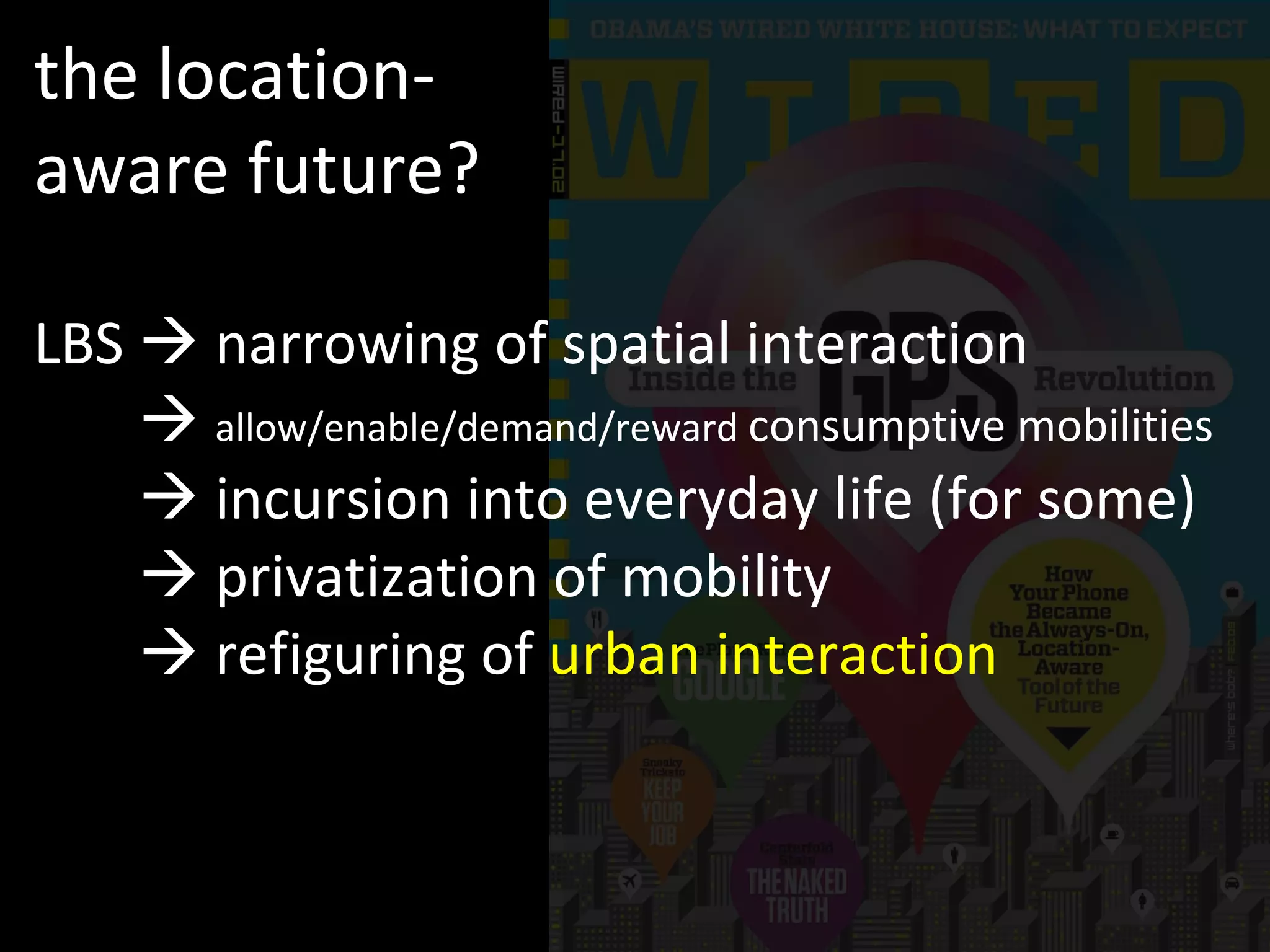
The document discusses location-based services (LBS) and their implications for mobility, highlighting the interplay between technology, space, and consumption. It examines how LBS has transformed urban interactions and personal behaviors, often leading to a privatization of mobility and a narrowing of spatial interactions. The piece raises critical questions about the limitations and potential interventions in the use of mobility data in everyday life.


