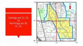
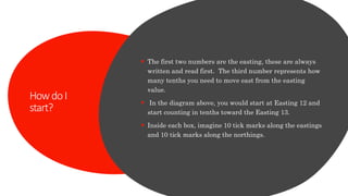
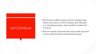
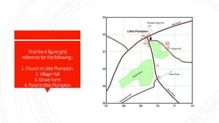
A 6-figure grid reference provides a more precise location than a 4-figure grid reference by including tenths of the Easting and Northing lines. The first two numbers indicate the Easting line, the third is tenths past that Easting. The fourth and fifth numbers give the Northing line, and the sixth number is tenths past that Northing. This allows pinpointing a location within a 100m by 100m square defined by the 4-figure reference.