


![Getting Involved? www.openstreetview.org [email_address] map .org](https://image.slidesharecdn.com/johnmckerrell-090915110158-phpapp01/85/John-Mc-Kerrell-OpenStreetView-35-320.jpg)

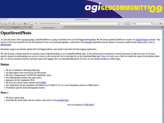
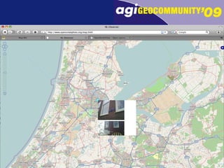
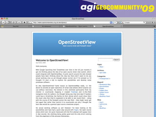
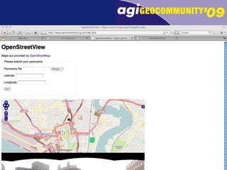
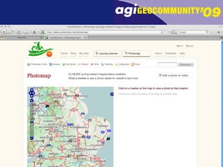
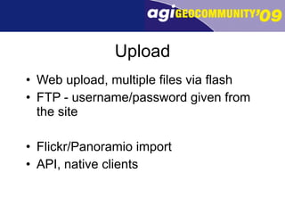
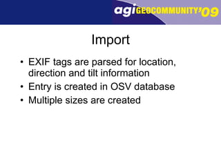
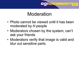
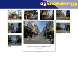
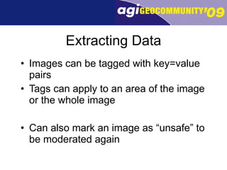
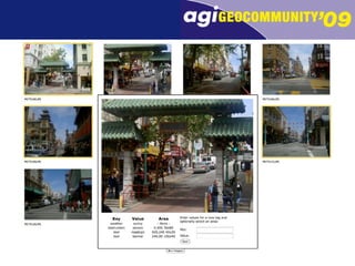
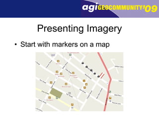
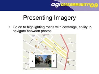
OpenStreetView is a project that allows users to capture and upload street level photos with location metadata. The photos are then moderated by multiple users before being added to the main database. Extracted data and tags can be added to photos. An API allows searching and downloading photos as well as adding tags or marking photos as unsafe. Licenses determine how photos can be used by others. The goal is to eventually allow navigating between street level photos on a map.


![谷歌霸屏推广[ 𝙩𝙤𝙥 𝟮𝟯𝟯. 𝙘 𝙤𝙢 ]](https://cdn.slidesharecdn.com/ss_thumbnails/top233-260130171247-43791db0-thumbnail.jpg?width=640&height=640&fit=bounds)


