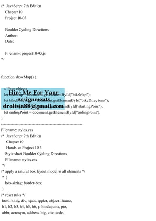
JavaScript In this project you will create an interactive map for a cycling club in Boulder, Colorado, allowing cyclists to view a map with directions between two popular cycling destinations. To complete this project, you will need to set up a Google Cloud account along with an API key to access the Google Maps, Directions Service, and Directions Renderer APIs. A preview of the completed page is shown in Figure 10-42. Do the following: 1. Use your code editor to open the project10-03_txt.html and project10-03_txt.js files from the js10 c project03 folder. Enter your name and the date in the comment section of each file and save them as project10-03.html and project10-03.js, respectively. 2. Go to the project10-03.html file in your code editor. Add a script element linked to the project10-03js file. Defer the loading of the script until after the page is loaded. 3. Add another script element with the following src attribute: https://maps.googleapis.com/maps/ api/js?key=key&callback=showMap where key is your Google Maps API key. Also defer this script until after the page is loaded. 4. Close the file, saving your changes and then go to the project10-03.js file in your code editor. Steps 5 through 10 should all be down within the showMap() function. Several variables have already been declared for you. 5. Use the new google.maps.DirectionsService() object constructor to create a DirectionsService object named bikeFind. 6. Use the new google.maps.DirectionsRenderer() object constructor to create a DirectionsRenderer object named bikeDraw. 7. Create a LatLng object named Boulder storing within it a latitude of 40.01753 and a longitude of -105.26496. 8. Use the new google.maps.Map() object constructor to instantiate a new Google map named myMap. Set the zoom level to 12 and center the map on Boulder. 9. Create event listeners for the startingPoint and endingPoint selection lists, running the drawRoute() function in response to the change event. 10. Create the drawRoute() function. Within the function insert an if statement that tests whether the selected index for the startingPoint and endingPoint selection lists are both not equal to 0. If true, then do the following: a. Define a route object named bikeRoute with an origin at startingPoint.value and a destination at endingPoint.value. Set the travelMode option to BICYCLING. b. Apply the route() method to the bikeFind object generating directions between the starting and ending points. If the status of the request is OK then (i) apply the setDirections() method to bikeDraw object request directions from the directions service, (ii) apply the setMap() method to bikeDraw to display the route within myMap, and (iii) apply the setPanel() method to bikeDraw to display the turnby-turn directions within the bikeDirections object. If the status is not OK then change the text content of the bikeDirections object to Directions Unavailable: status. 11. Save your changes to the file and then load project10-03.